FUGLHUKEN HIKING GUIDE
Yttersand, Moskenesøy
557 meters
4 km
Moderate
2-3 hours
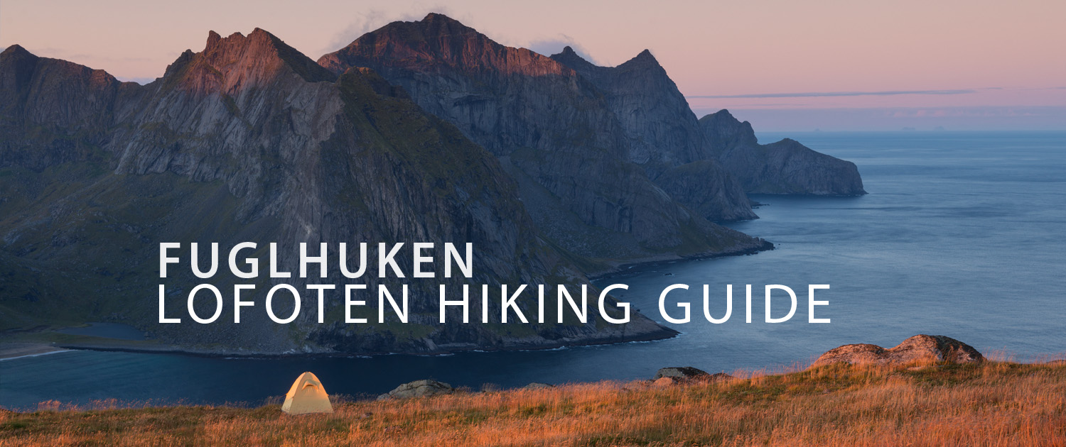
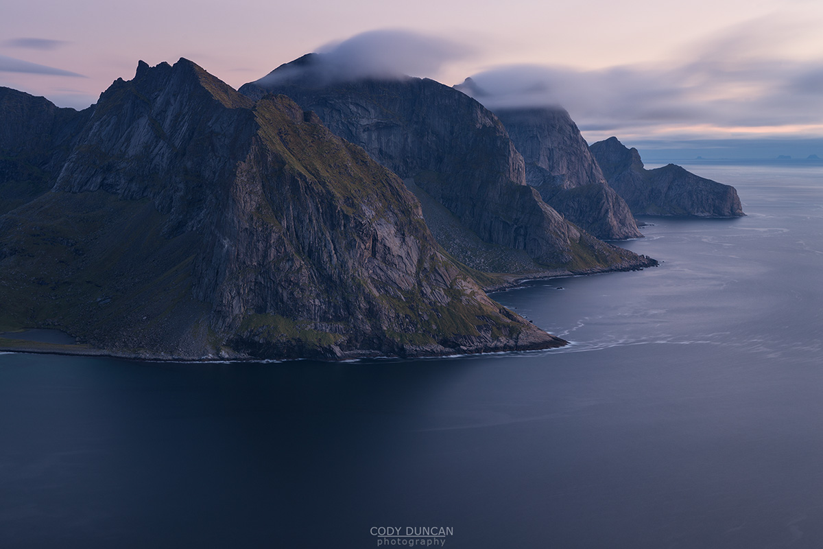
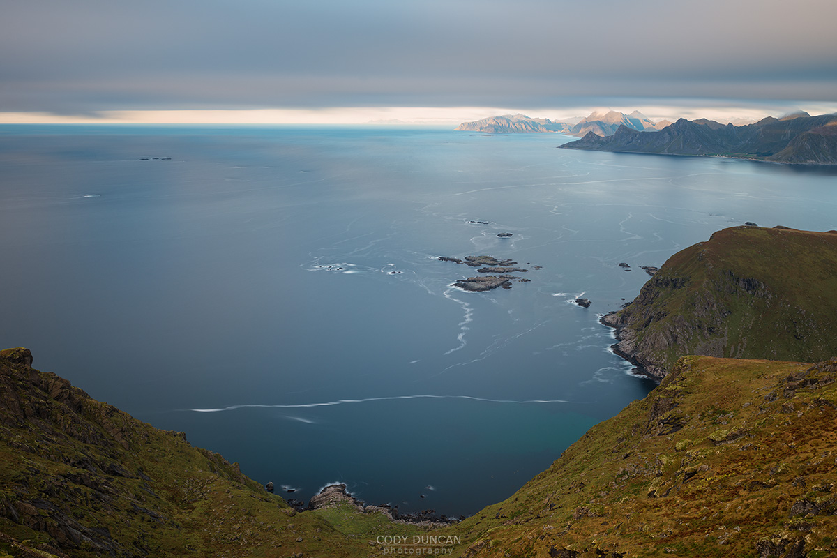
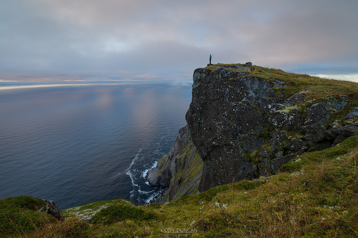
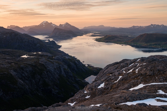
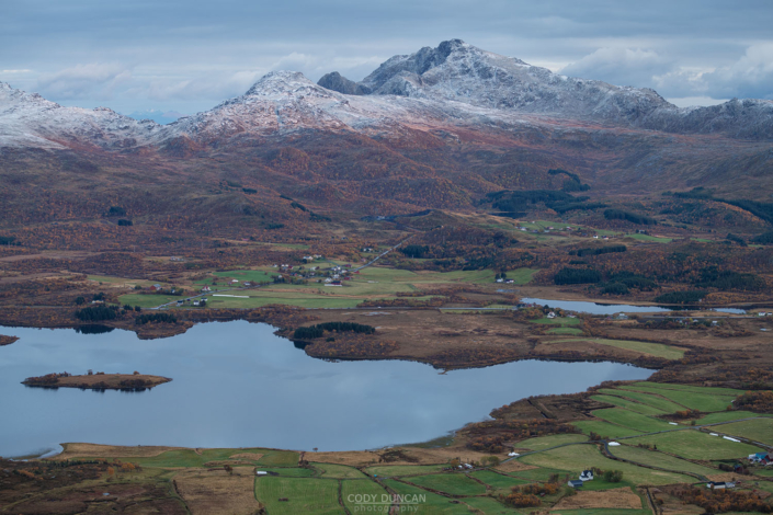
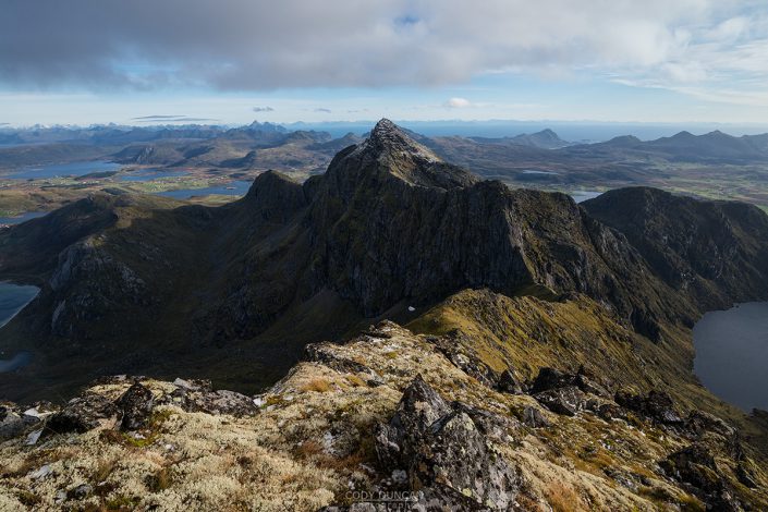
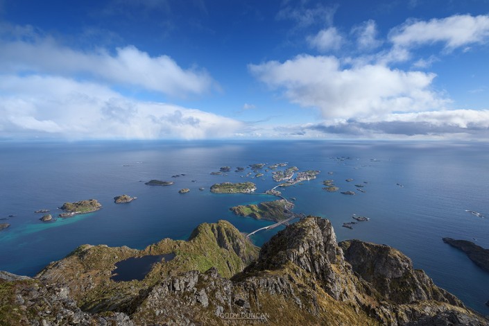
Fuglhuken is the last peak on the north of Moskenesøy and the big brother to the much more popular Ryten . Located within the new Lofotetodden national park this peak is visited more by sheep than people. A trip to Fuglhuken is an enjoyable hike to a relatively empty part of Lofoten with fantastic views over the wild outside coast of Moskenesøy. For a longer day, it can also easily be combined with a visit down to Stokkvika.
Getting There
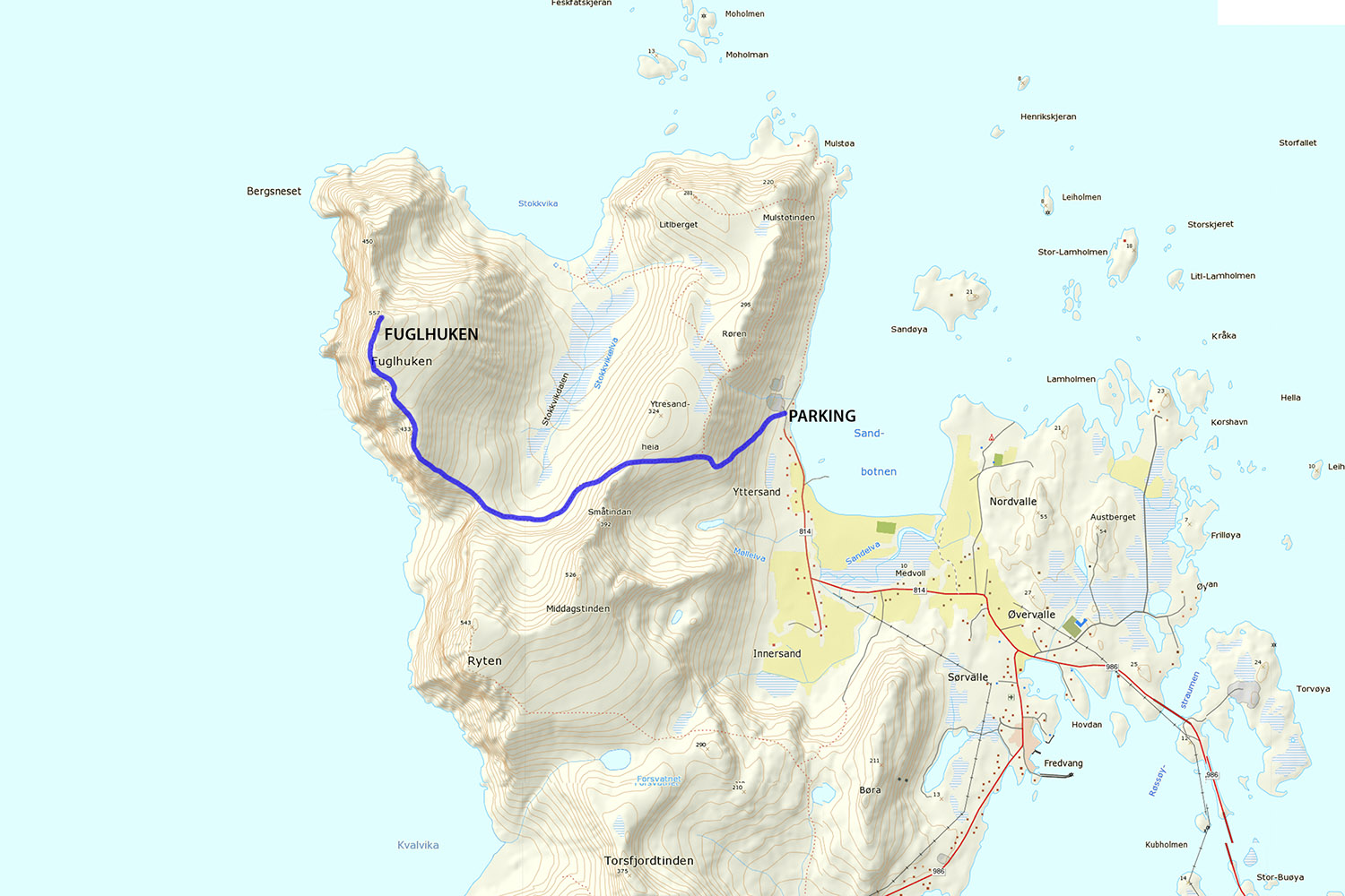
From the E10 head in the direction of Fredvang. Crossing the twin bridges and onto Moskenesøy, continue straight, past the left turn to Fredvang and continue along the road, past the ‘Frankenstein’ barn. Turn right towards Yttersand. Park in the parking area at the end of the road above the beach.
The trail
From the parking area, go past the gate and take a small hiking trail on the left, which takes you back along the side of the mountain. As you continue back along the hillside, slowly gaining elevation, you will soon come to the entrance of a small valley with a lake. From here, the trail turns right and begins to wind its way up the gentle ridge.
As you ascend to about 270 meters, you will leave the main trail and continue along a smaller, somewhat faint trail leading across the hillside to the left (east), not continuing up along the ridge on the right. Following this trail, you’ll soon reach a gentle ridge at about 300 meters elevation. Stokkvika valley is clearly visible ahead of you. The trail continues along about halfway up the cliffs as it circles the southern edge of the valley.
From the ridge, follow the trail as it begins a slow descent of about 100 meters traversing along the southern end of the valley. There are some narrow sections at times, but nothing overly exposed. About 2/3 of the way you’ll pass a scenic waterfall and begin a slight ascent towards the south ridge of Fuglhuken.
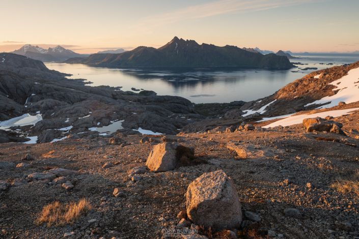
As the trail reaches the ridge, you’ll now have the first views of the outer coast. Continue up the ridge following the trail. The ascent is moderately steep at times, but nothing too bad. After about 200 meters of elevation gain, the ridge will begin to flatten out to the broad summit plateau. The summit itself is a nondescript high point on the northern end.
Camping
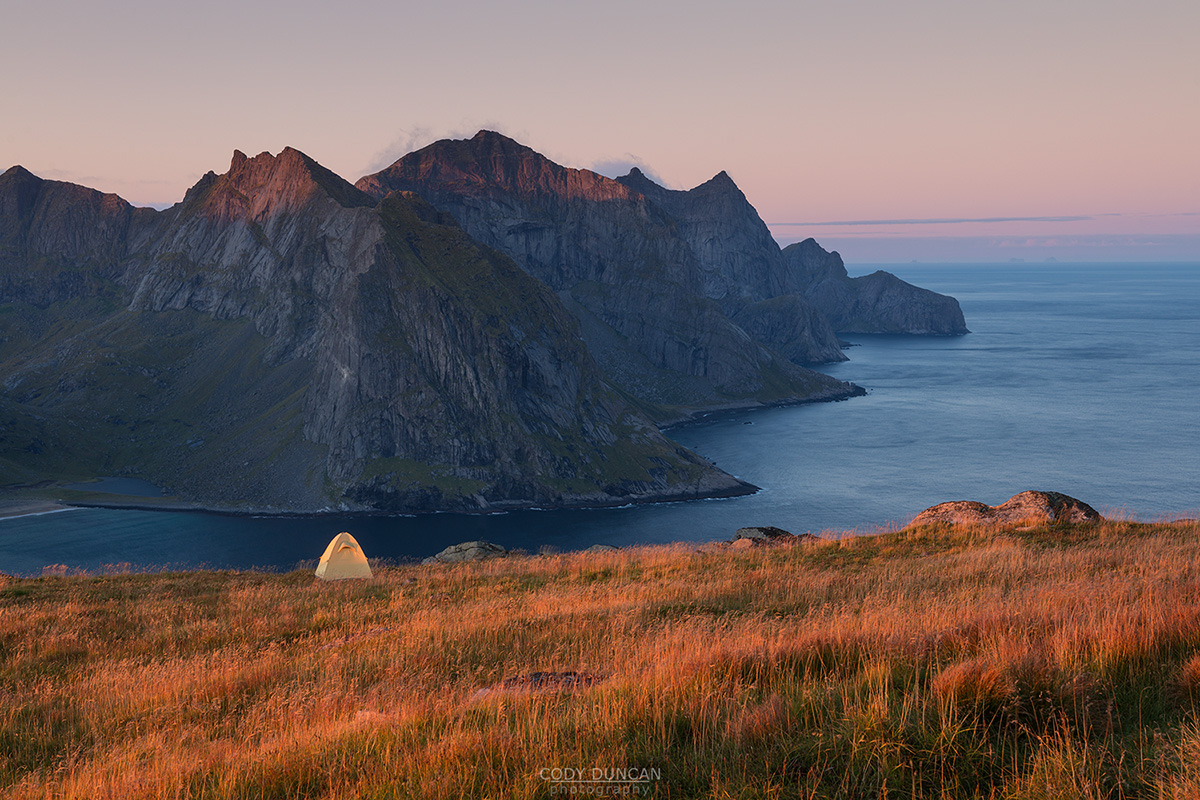
Plenty of camping anywhere on the broad, flat summit
No water available.

