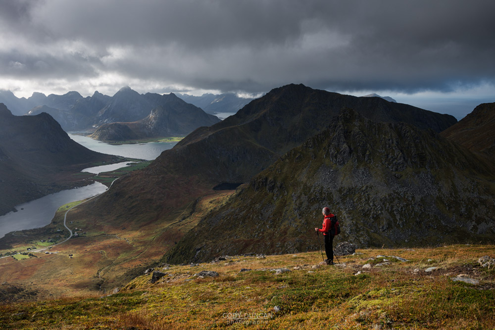
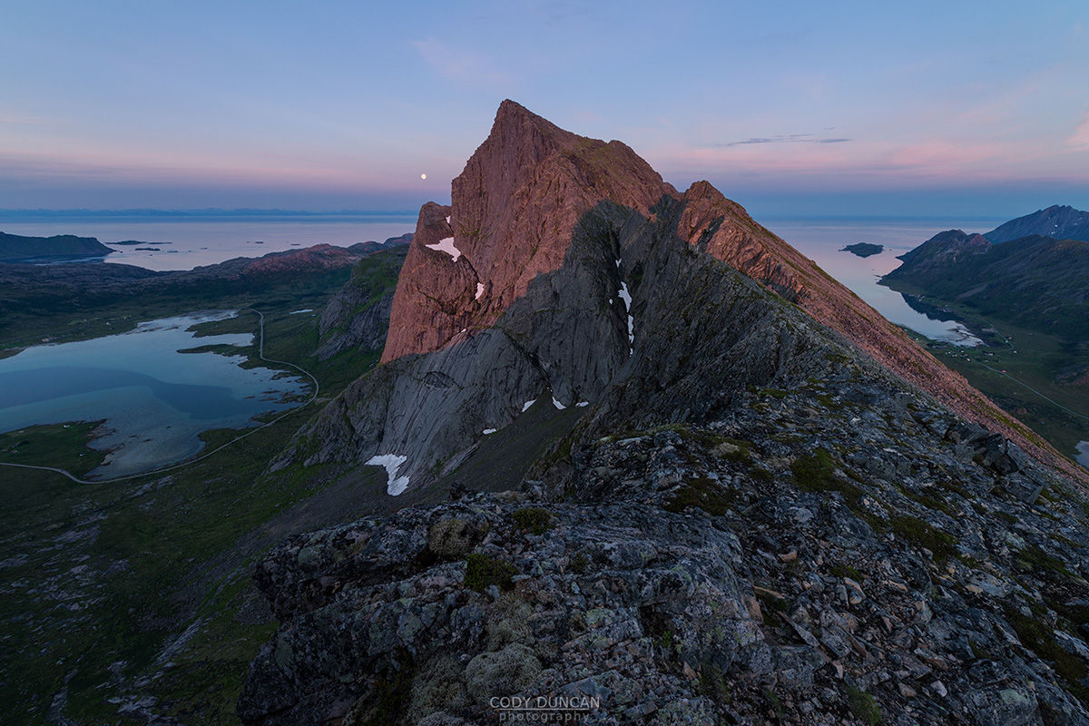
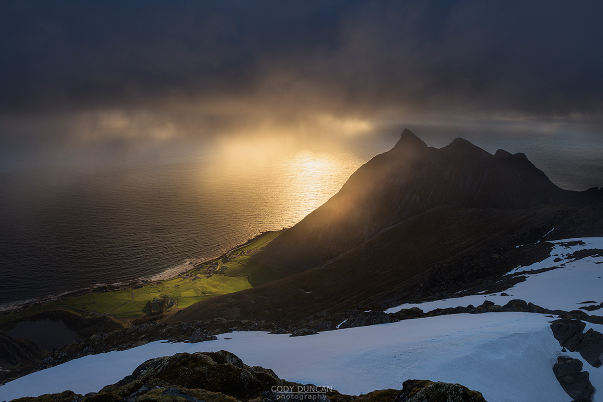
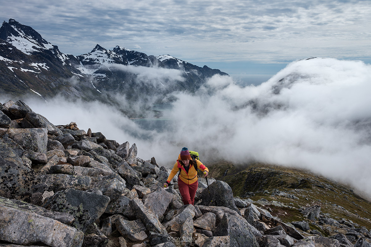
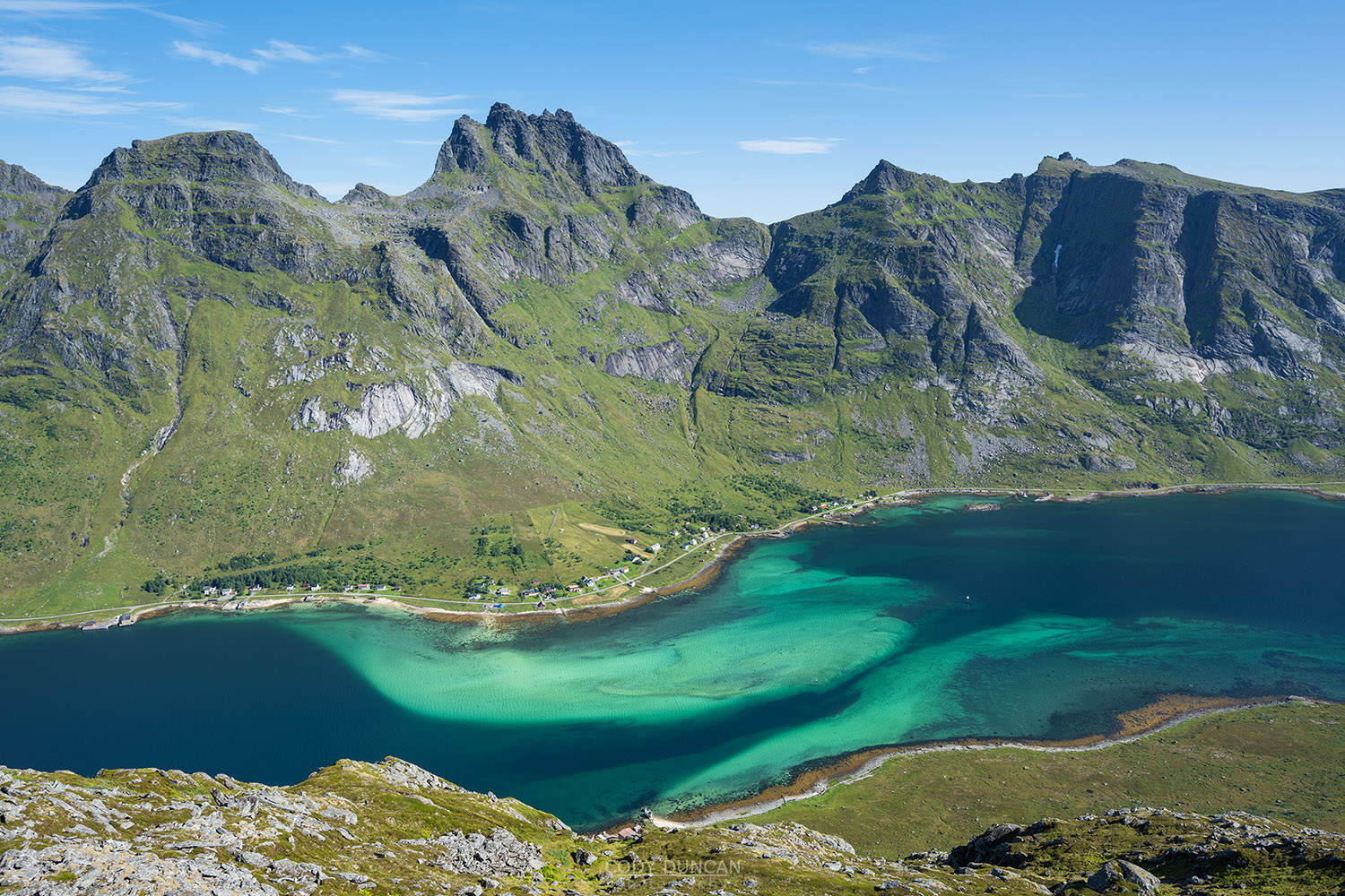
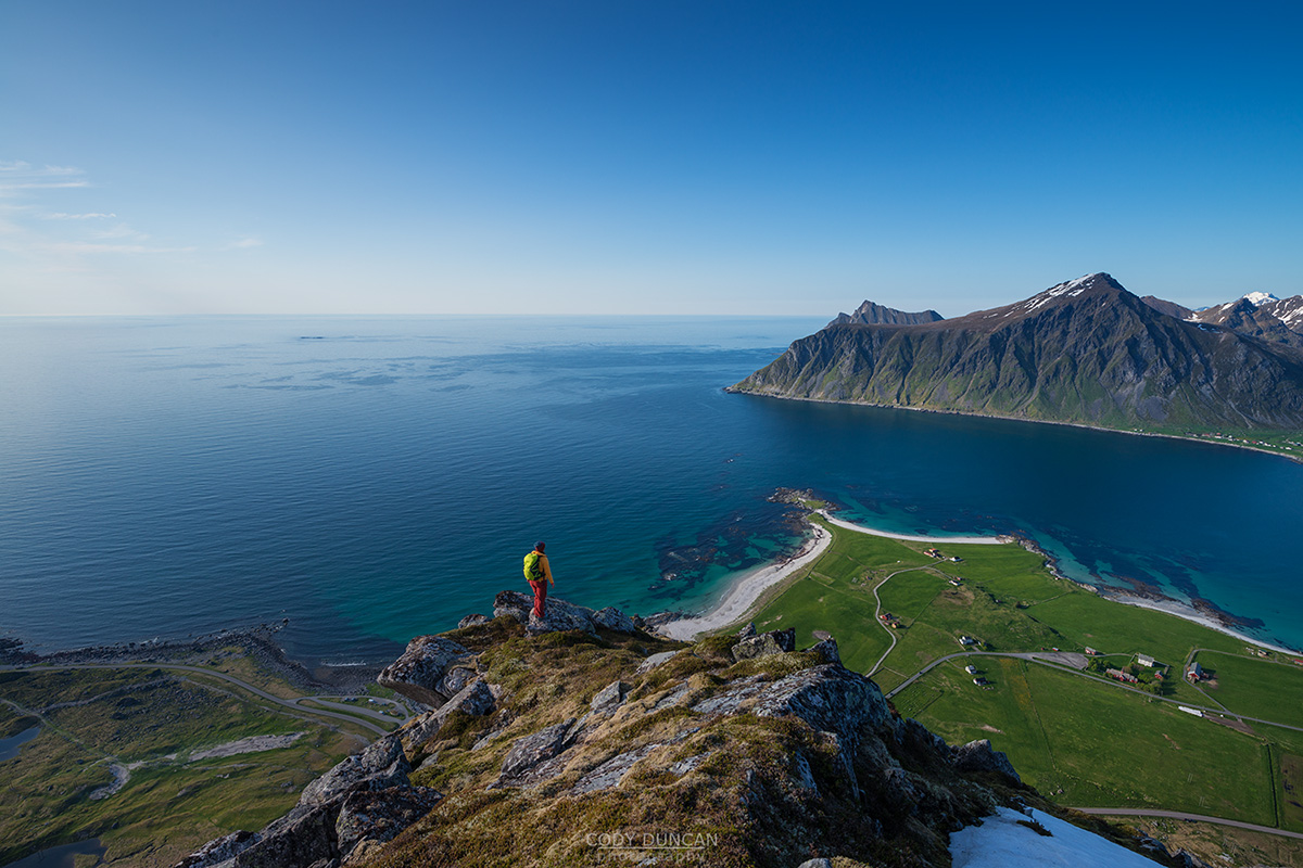
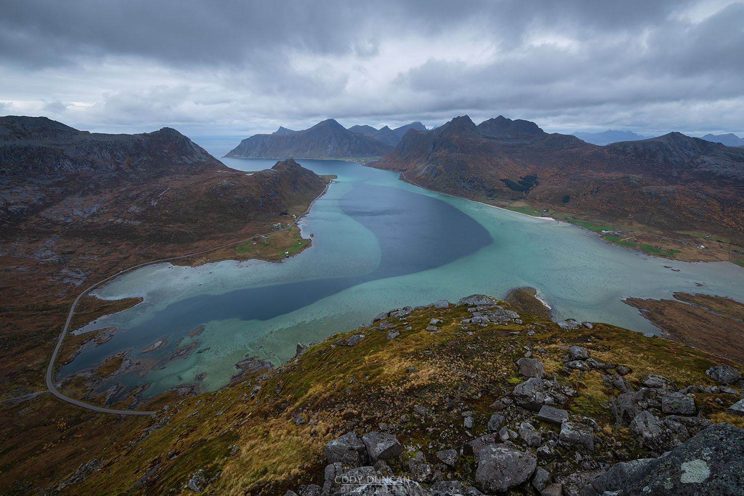
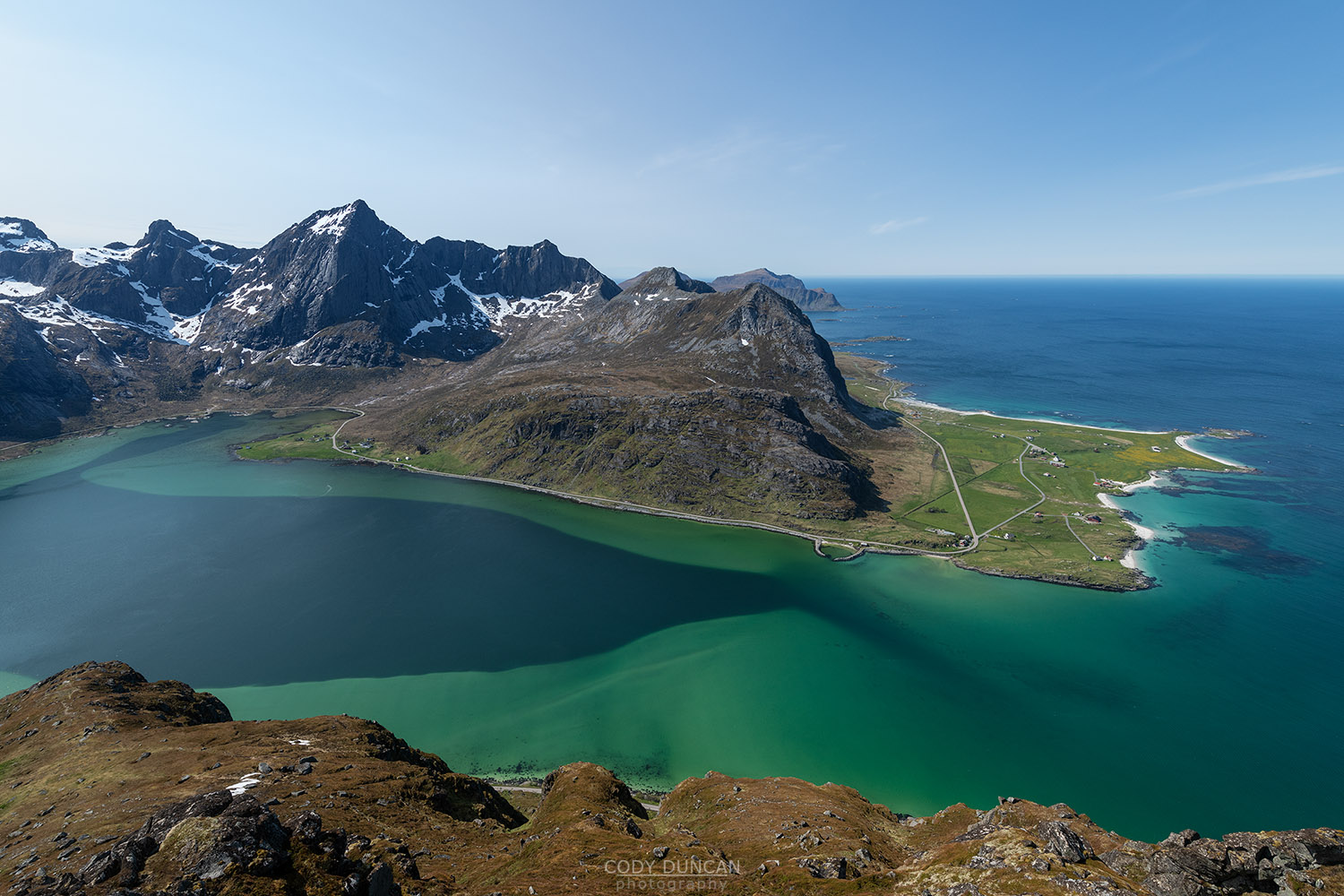
Map Of Lofoten Mountain Hikes
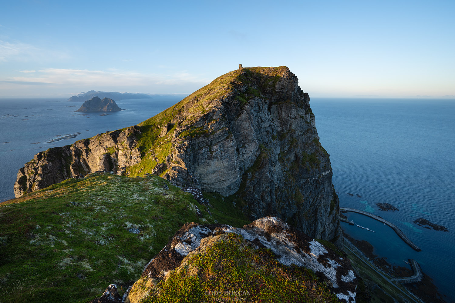
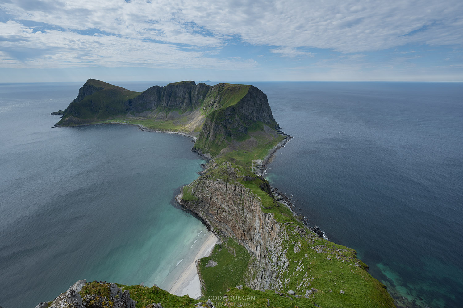
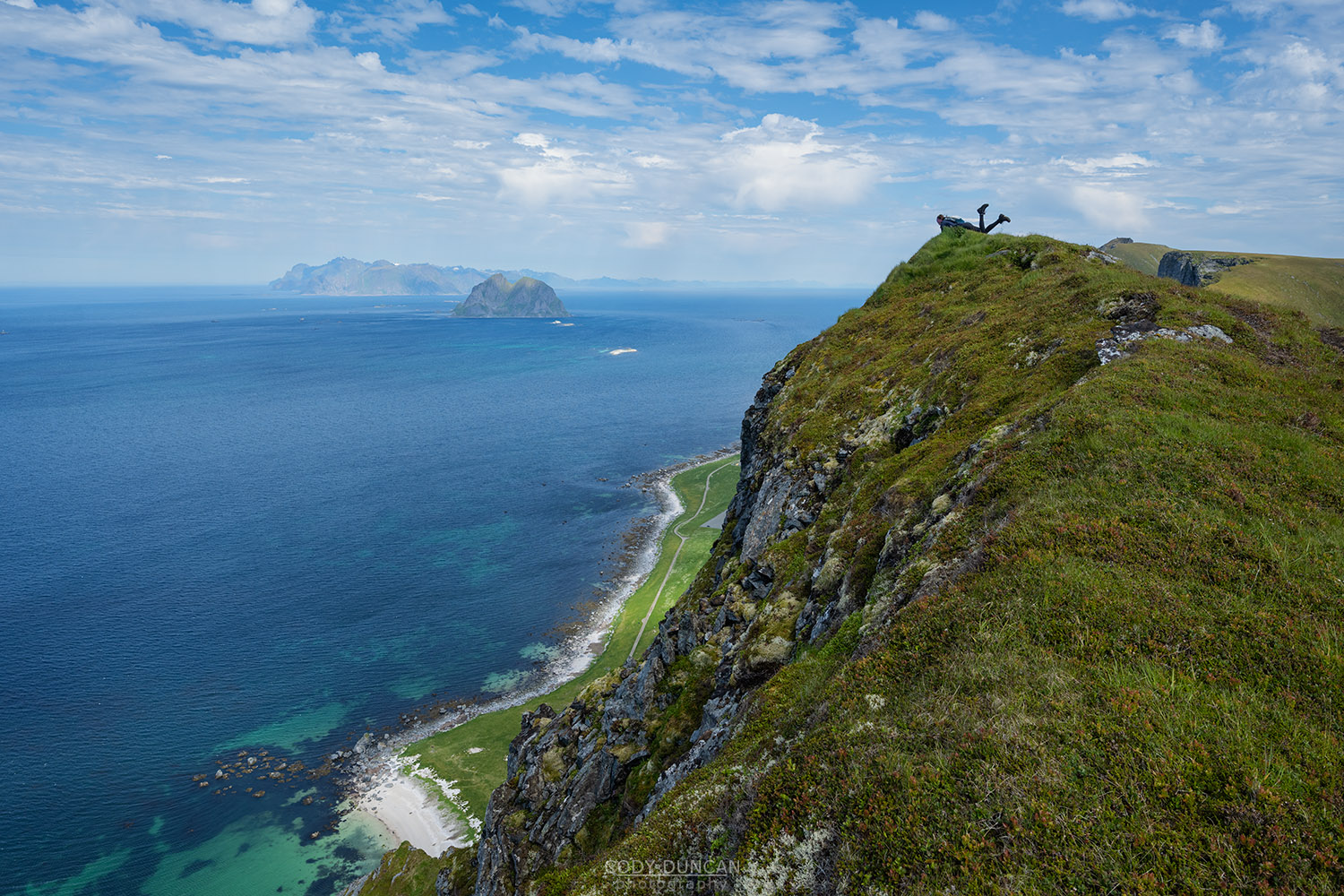
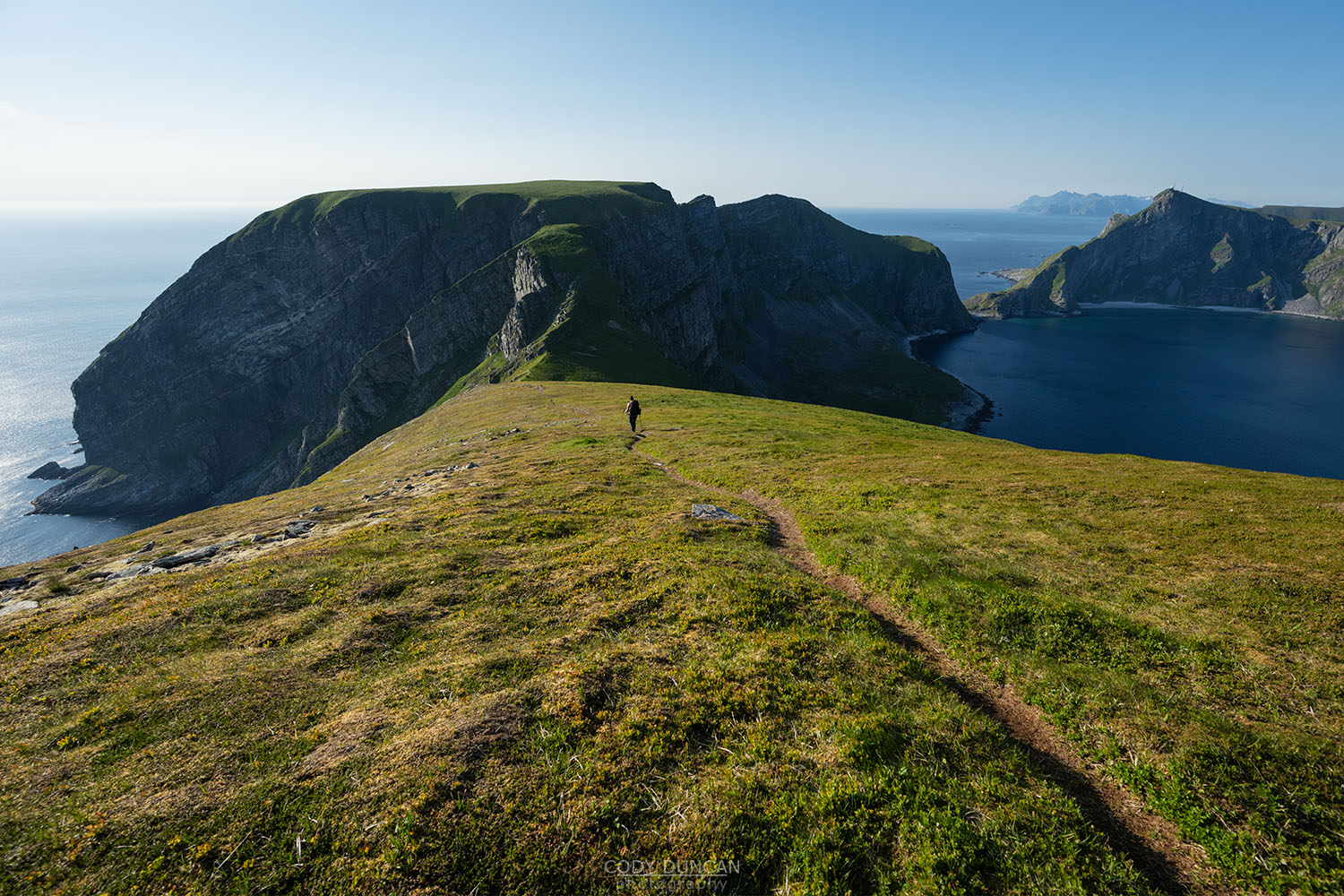
Værøy Mountain Hikes
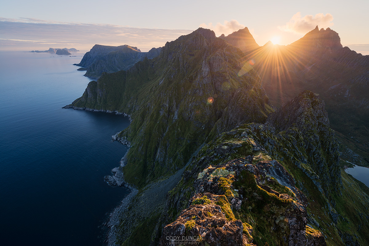
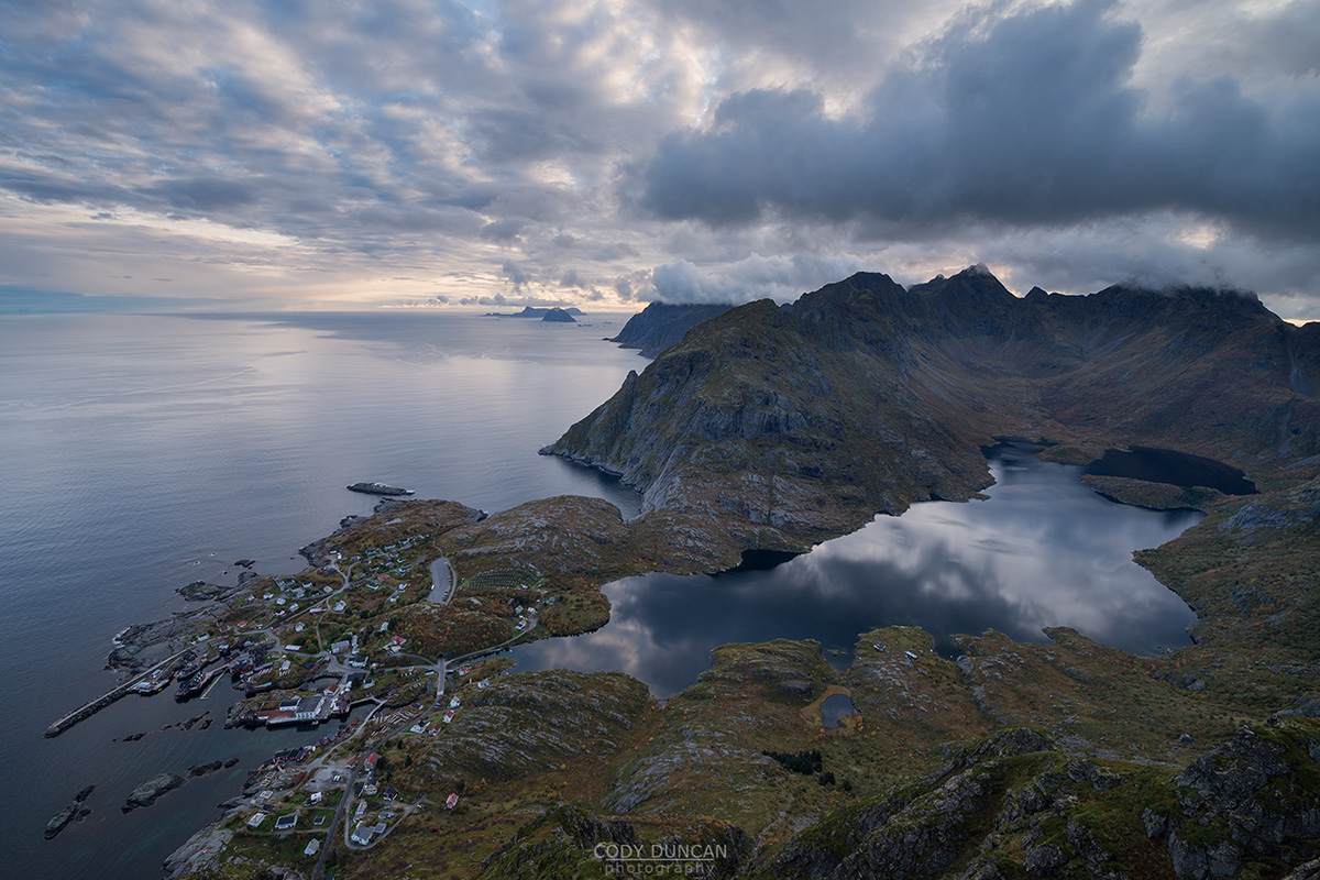
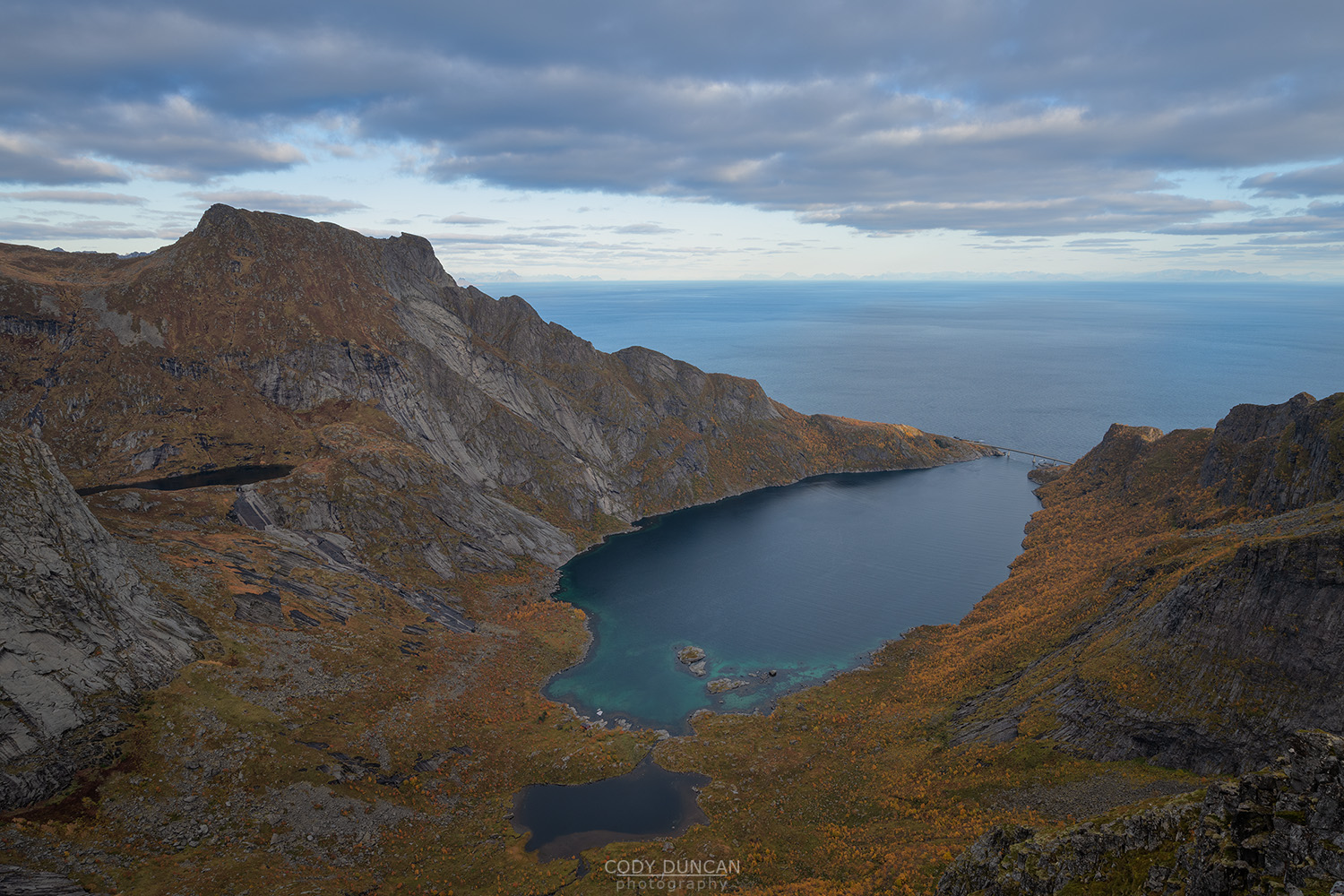
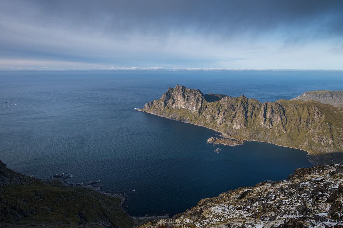
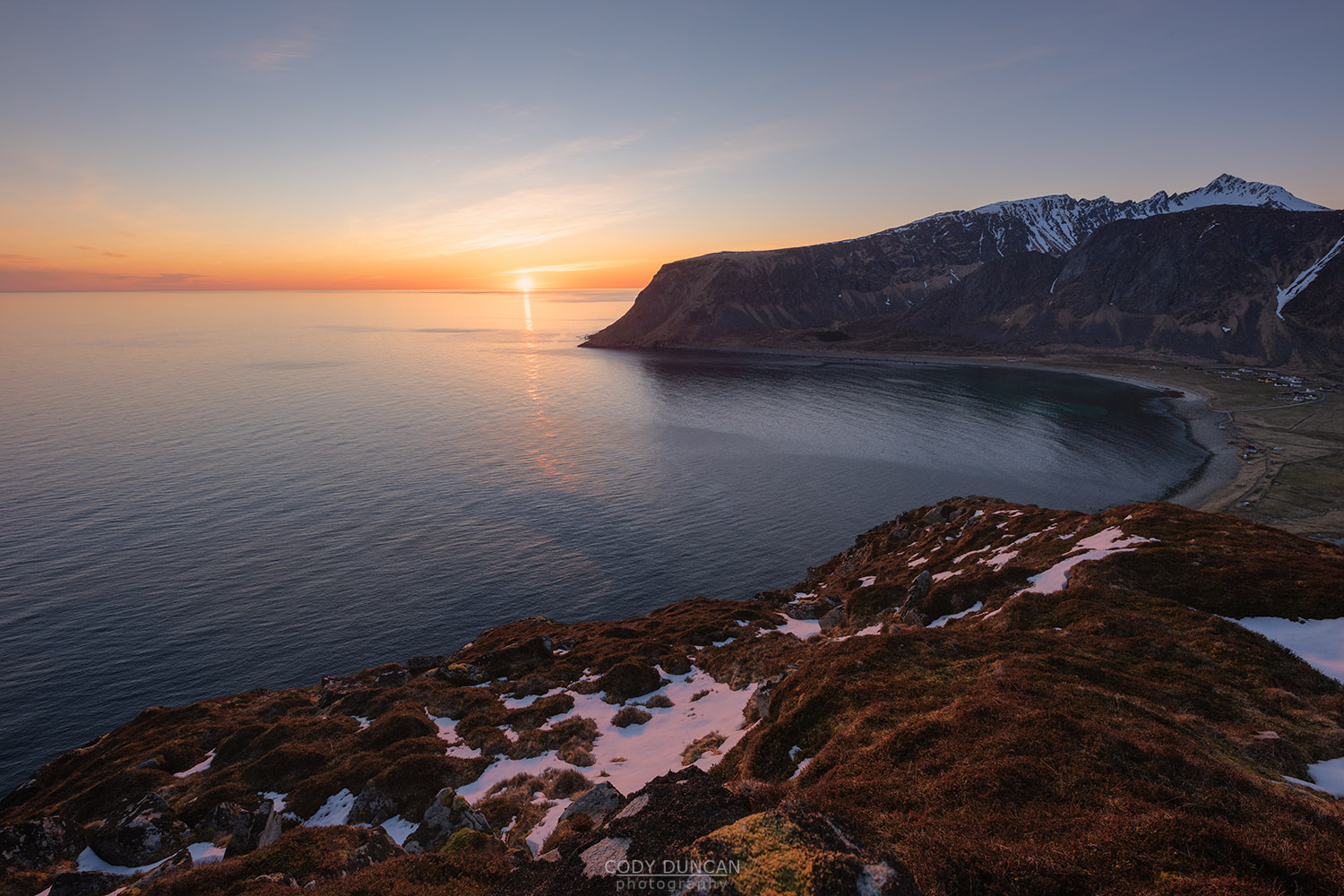
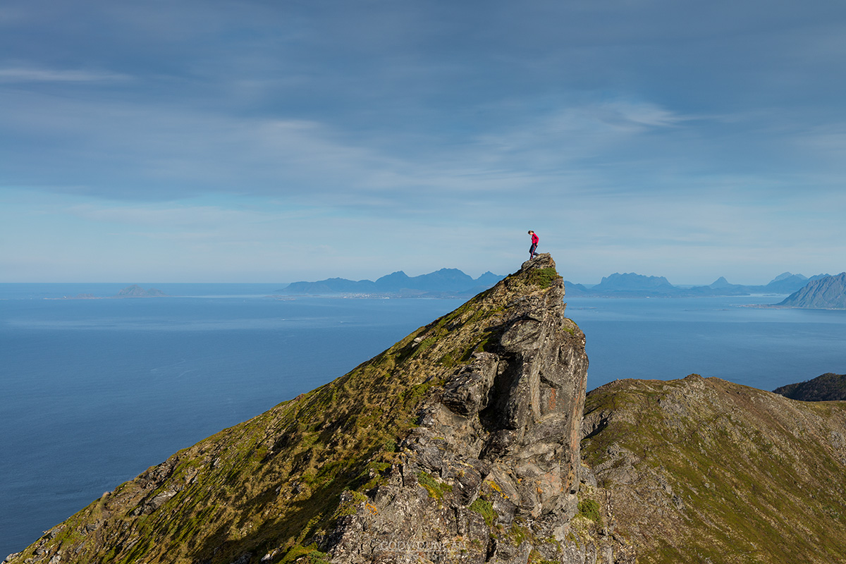
Sitting far out to the west, across the fabled at turbulent waters of the Moskensstraumen, sits the small island of Værøy. With a highest point of 450 meters, this small island should not be underestimated, as it offers a wide variety of well established and scenic hikes. In fact, the hiking infrastructure on Værøy is much better developed than on the main Lofoten Islands. Though in turn, the relaxed nature of this small island feels like Lofoten was 20 or more years ago, before the era of over crowded social media and bucket list travel destinations.
Moskenesøy Mountain Hikes
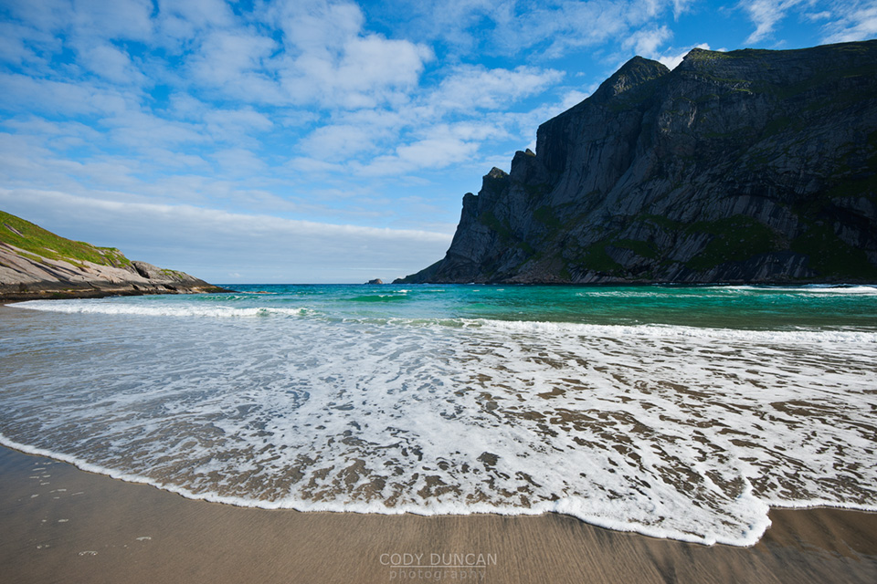
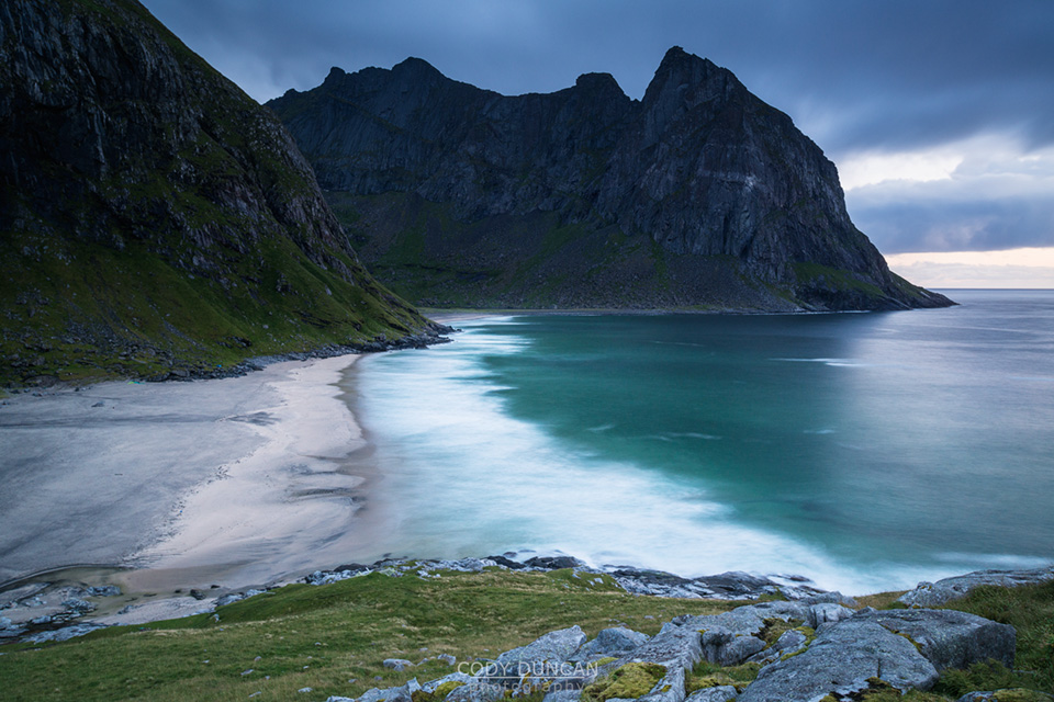
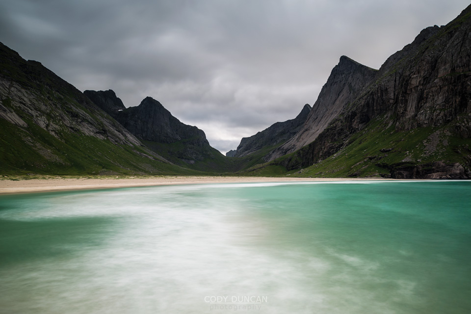
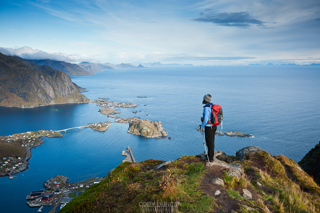
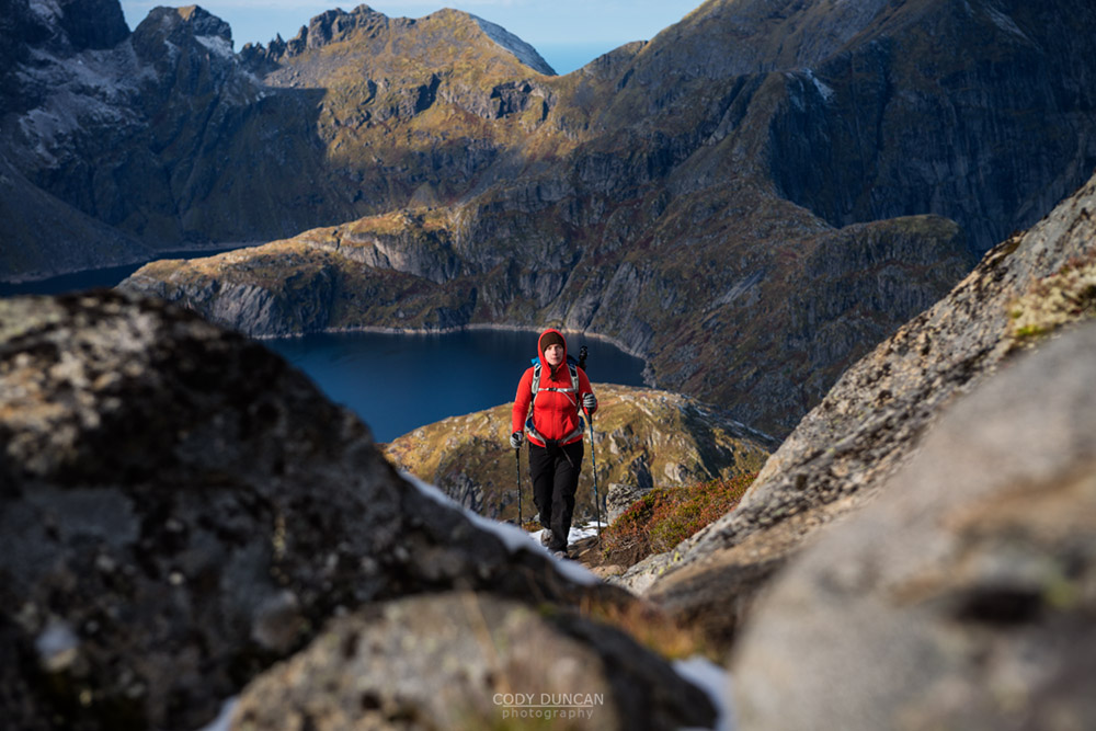
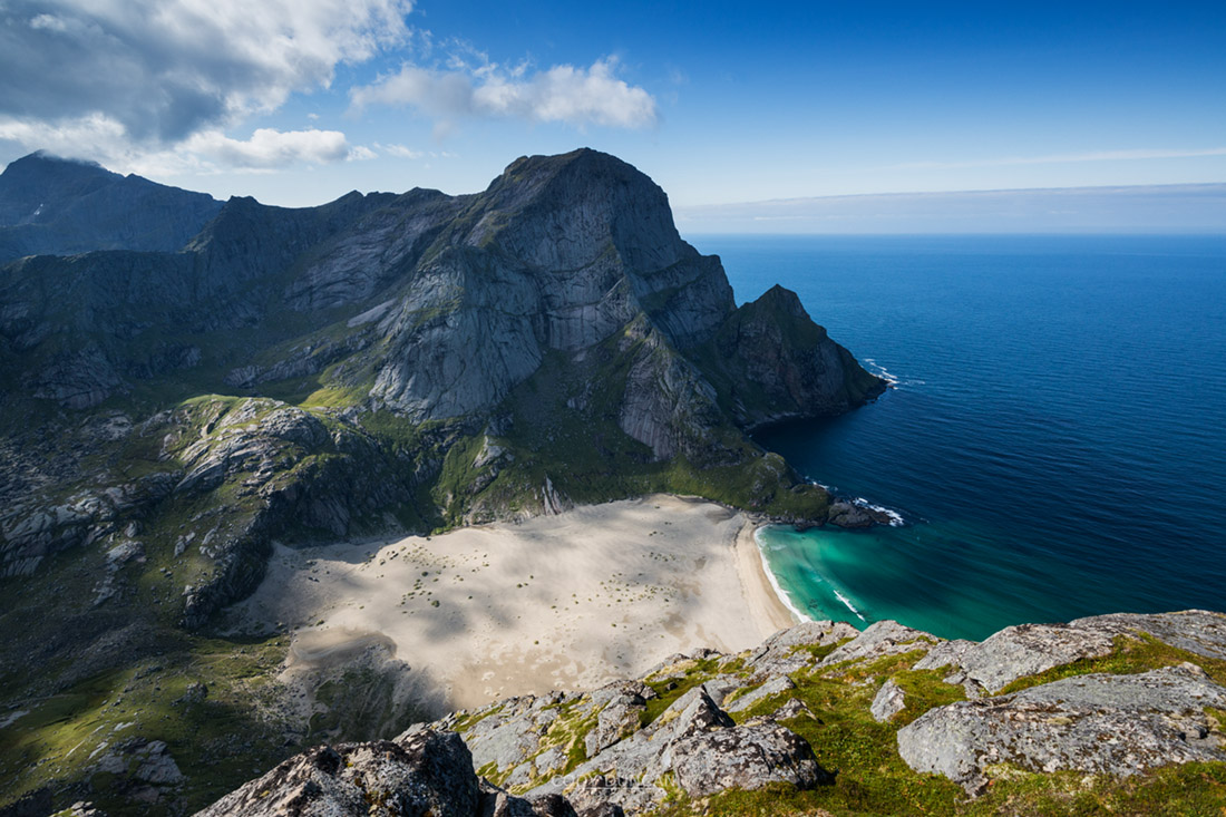
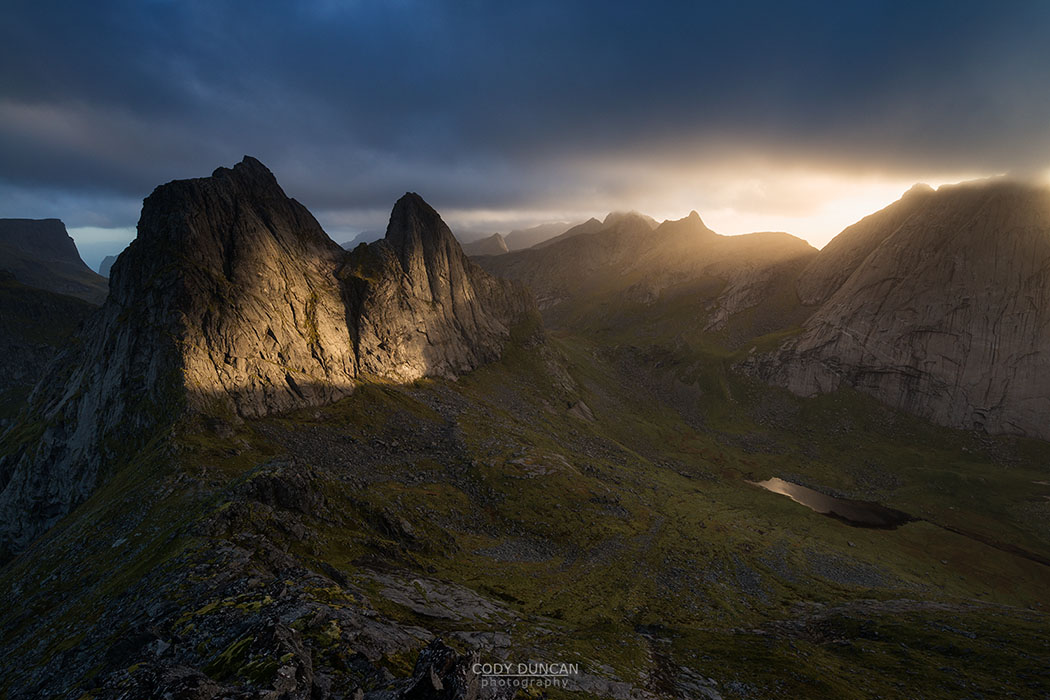
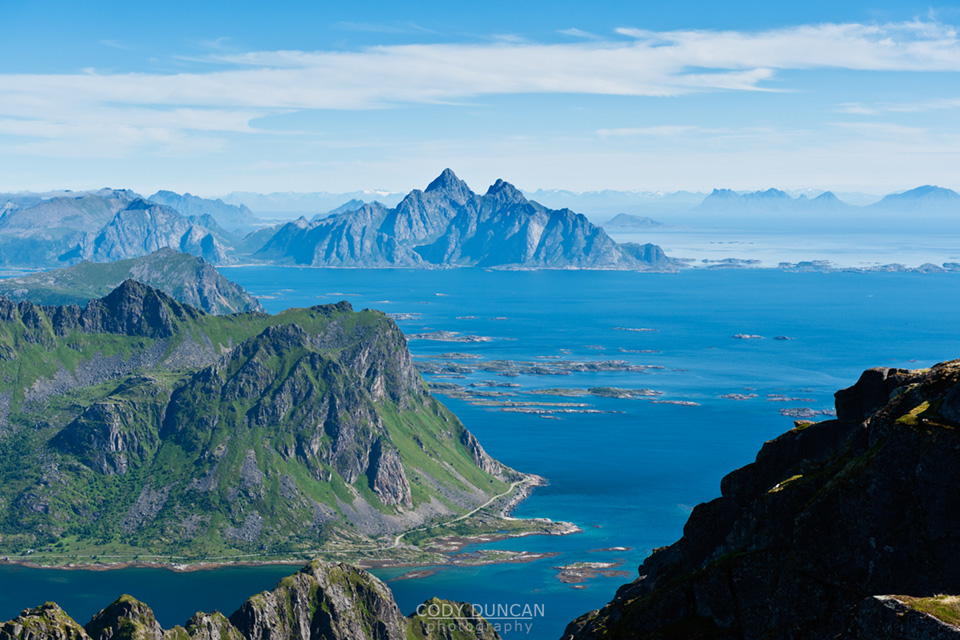
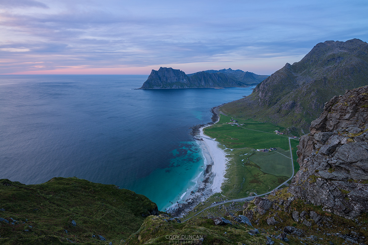
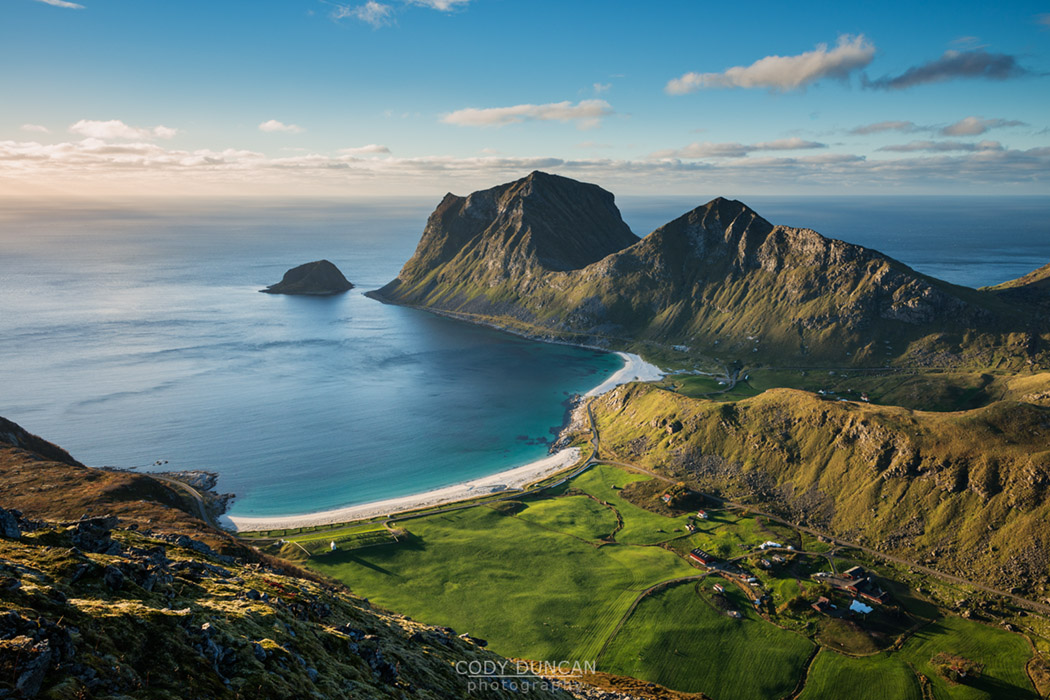
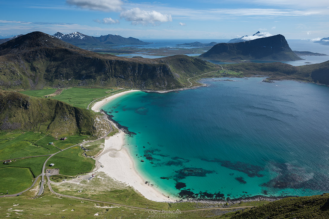
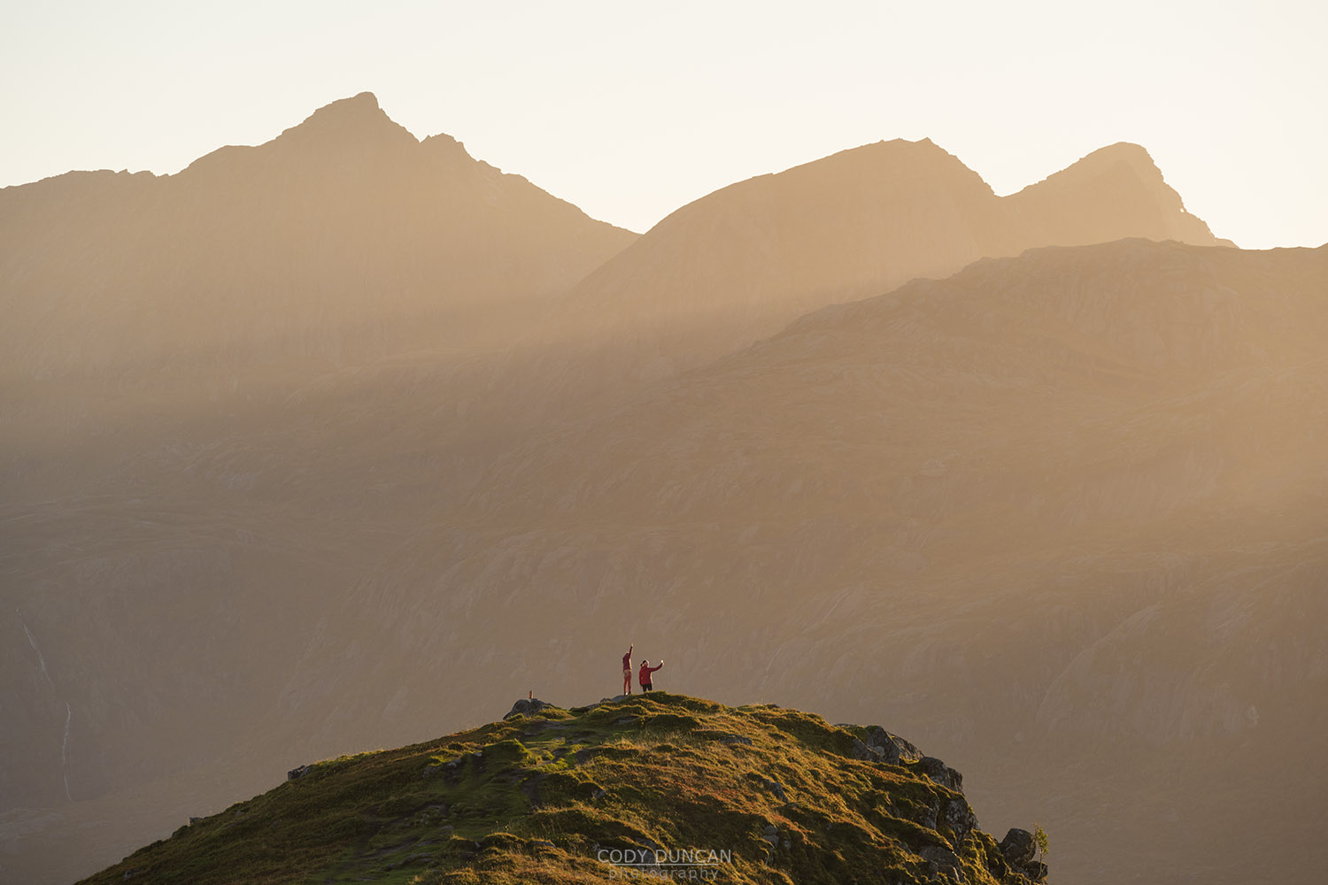
With its steep mountain peaks rising directly from the sea, Moskenesøy is iconic Lofoten. The village or Reine is a main hub of summer hiking and tourism on Lofoten, and the start of Lofoten’s most famous hike and view, Reinebrinen (448m). The northern coast of the island is only accessible by foot and is home to Lofotodden national park. Here some of Lofoten’s most spectacular mountain scenery can be found, including Bunes, Horseid, and Kvalvika beaches, with Helvetestind, Branntuva, and Ryten mountain peaks rising above.
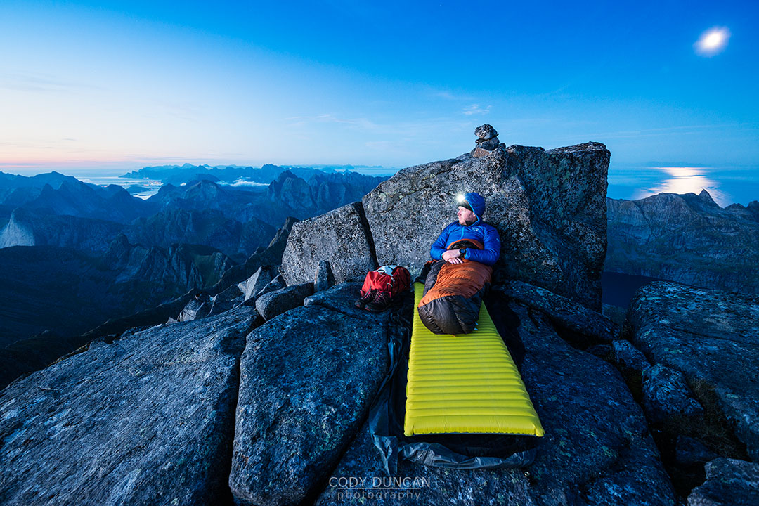
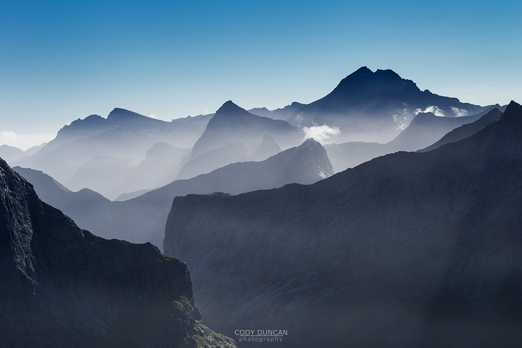
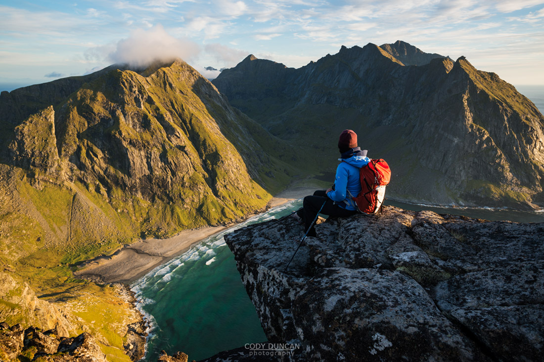
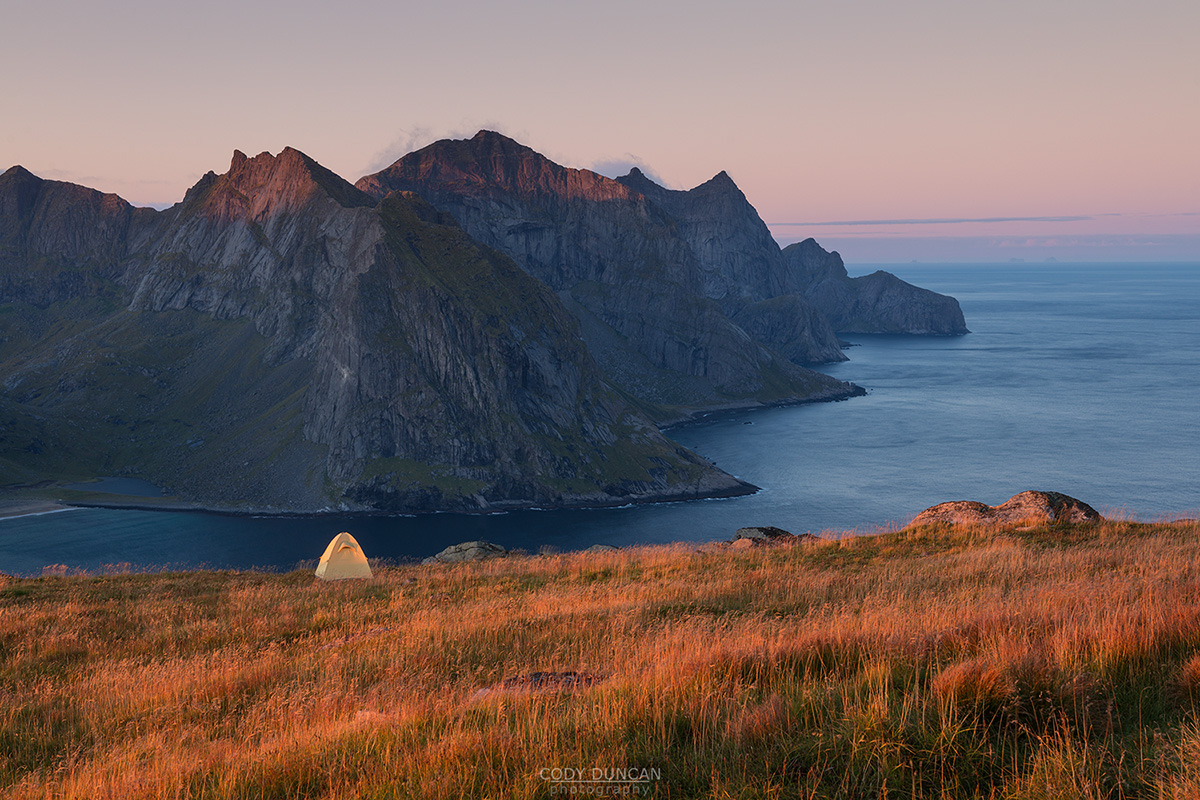
The highest peaks on the island, 1029 m Hermannsdalstind, is long and winding hike to one of Lofoten’s best views over endless peaks fading into the distance. The easy 45 minute hike to Kvalvika beach makes it one of the island’s most popular destinations for wild camping and to watch the midnight sun on a warm summer evening. And though many of Lofoten’s most popular hiking destinations can be found on Moskenesøy, there are still many trail-less hidden valleys and peaks for the more adventurous traveler looking to pick a route across to find themselves alone in the beautiful wild west of Lofoten.
Flakstadøy Mountain Hikes
The tiny village of Nusfjord and the beaches and campgrounds at Ramberg and Skagsanden are perhaps Flakstadøy’s most popular areas in summer. Otherwise, much of the island is skipped over as it sits between the more popular Moskenesøy to the west and the larger town of Leknes to the east. Outside of the popular hikes like Volandstind and Stornappstind, many of Flakstadøy’s (often trail-less) mountain peaks receive only a handful of visitor each year.
The island offers a wide variety of scenic hikes, with the highest point, 934 meter Stjerntind, reached only with a bit of rock climbing, making it one of the most-difficult municipal high-points in Norway. A long coastal walk along the shores of Nappstraumen will lead you to Storbåthalleren cave, with 5000 year old history from Lofoten’s earliest inhabitants.The peaks of Hestræva and Nesheia are formed from a sandy, almost desert like landscape running down the eastern side of the island. If you are looking for an relatively easy hikes for an escape from the summer crowds, many of the hikes on Flakstadøy will be the answer.
Vestvågøy Mountain Hikes
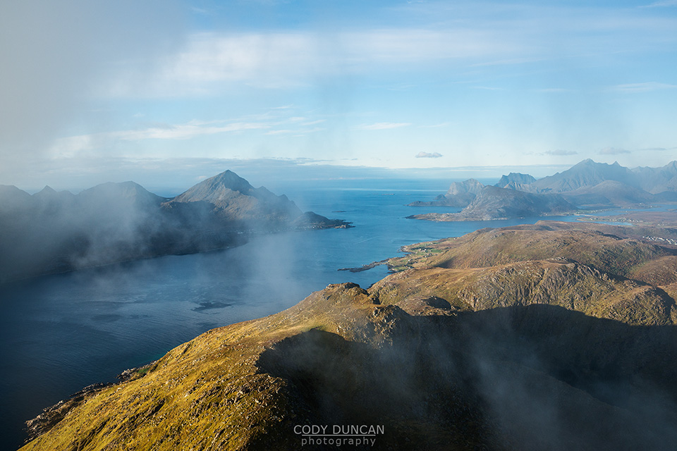
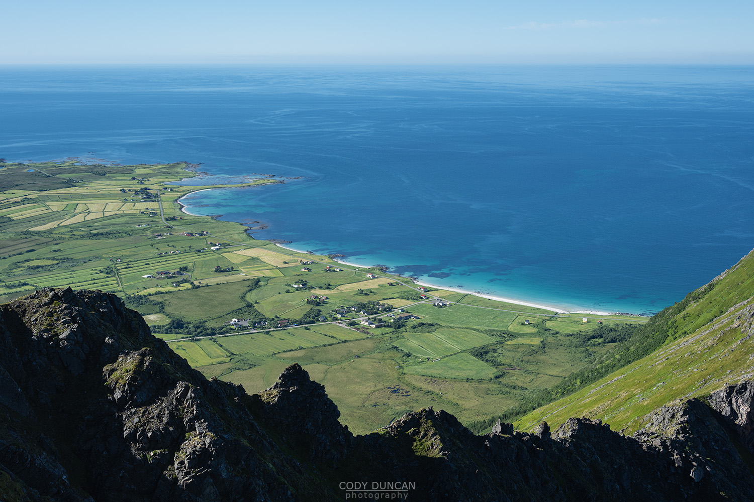
Vestvågøy is located in the heart of Lofoten. With the airport at Leknes, it is a main transport hub into and out of the islands. A large valley of pastures and farmland dominates the central part of the island, while mountain ranges rise from the southern and northern areas of the island. With softer terrain than much of western Lofoten, many longer hikes can be found here, such as Justadtind or Smordalskammen, that feel more like a normal hiking trail than the ’straight up the side of a mountain’ trail typical of Lofoten. Though plenty of those hikes can be found on Vestvågøy as well, such as Veggen, Offersøykammen, or the high 900+m peaks of Himmeltindan.
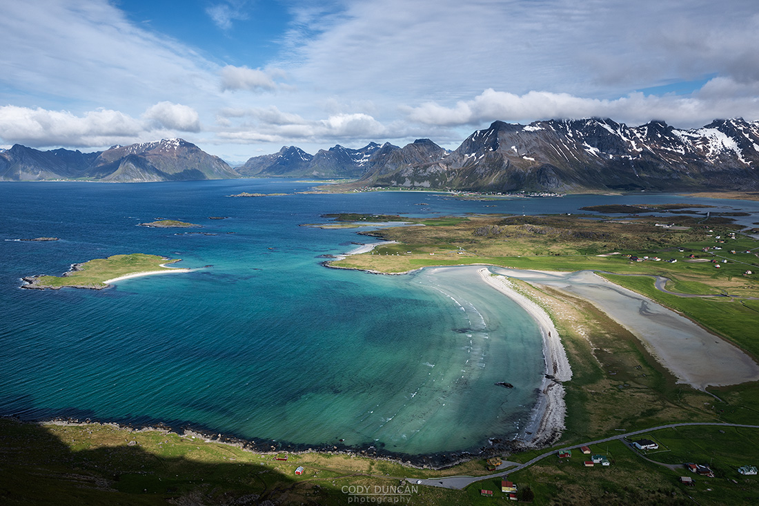
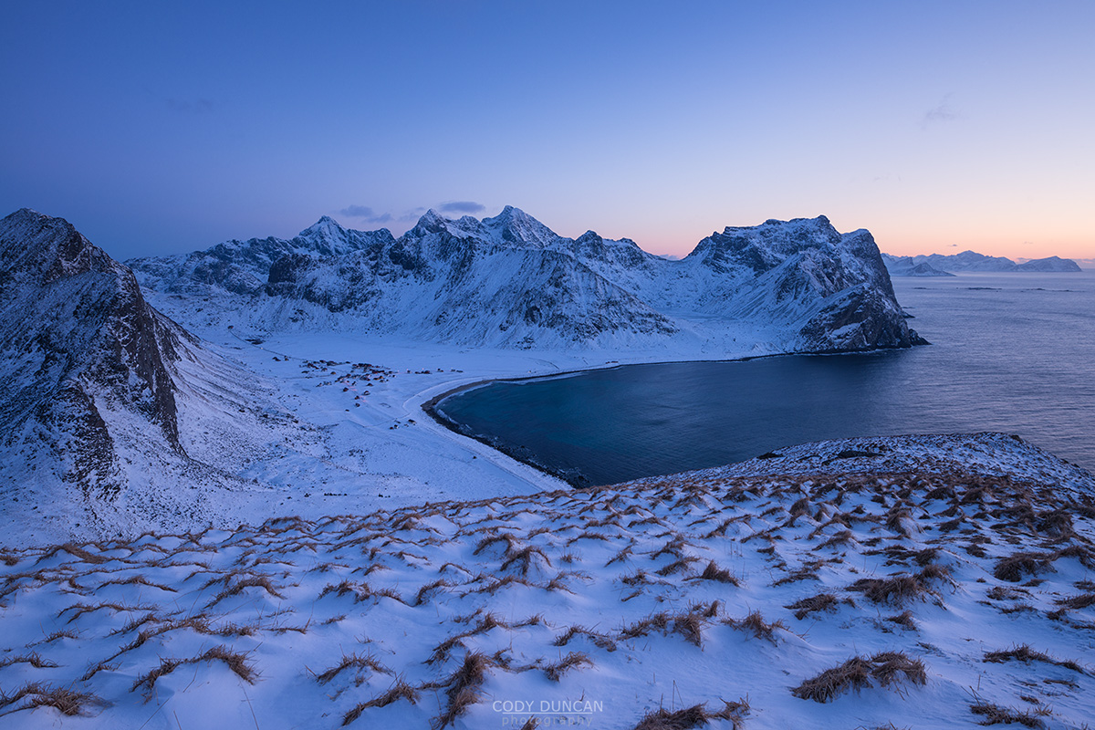
Calm sheltered bays and white sand beaches will see both locals and tourists alike crowding the beaches of Haukland and Vik on a 20˚c summer day – though the water looks warmer than it is! Unstad beach, the surfing capital of Arctic Norway sees a younger crowd spending weeks in their camper vans, surfing, drying wetsuits on the rocks, sitting around evening campfires, or hiking up the surrounding easy peaks of Helligberget or Nonstind to catch the midnight sun.
Gimsøy Mountain Hikes
Gimsøy is the smallest of Lofoten’s E10 connected islands. A series of while sand beaches are spread across the flat northern side of the island, and home to the unique experience of midnight sun golfing. This isolated small peak of Hoven rises from the flatlands over the northwester corner of the islands, offering an easy hike with 360˚ views. More formidable mountains rise along the eastern side of the island, where more sheep than people can be found even in the height of summer.
Austvågøy Mountain Hikes
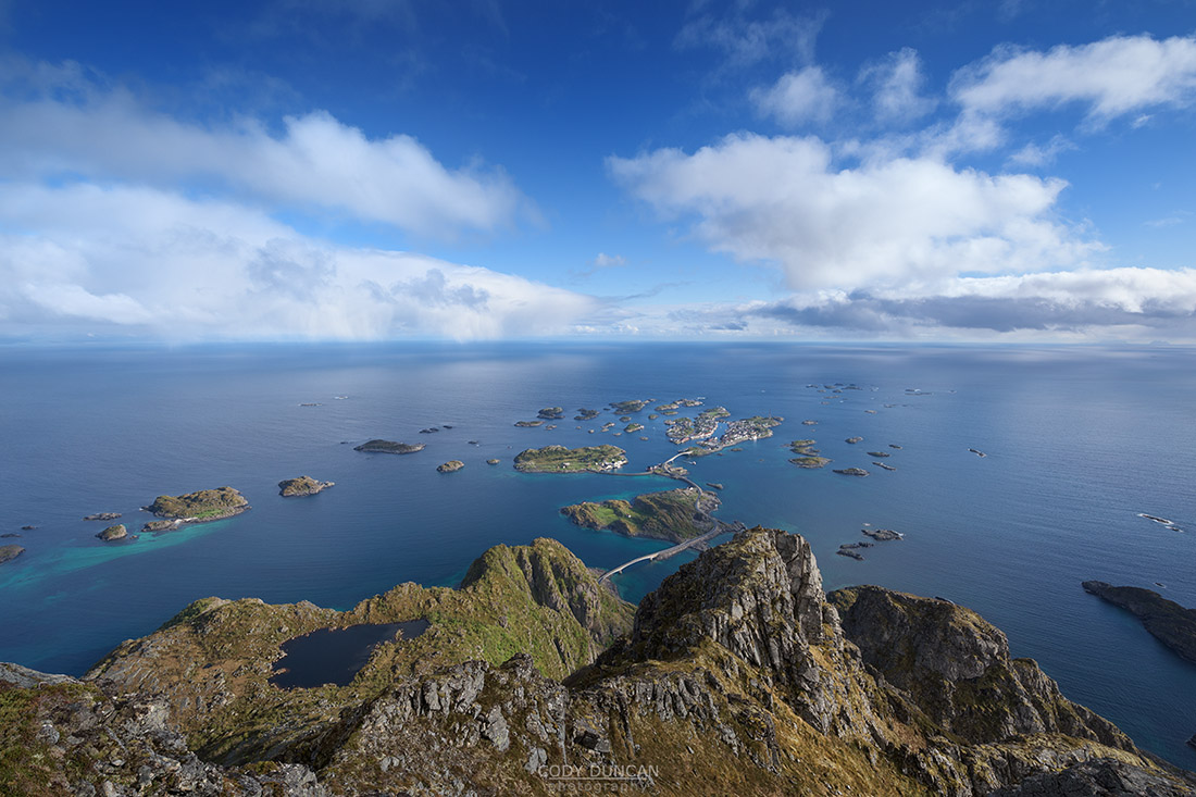
The harbor town of Svolvær is the self-proclaimed capital of Lofoten and here one can find the only real ‘city tourism’ on Lofoten: waterfront hotels, restaurants, cafes and pubs, boat tours, etc. With the airport just east of town, daily stops from the Hurtigruten coastal ferry and an express boat to Bodø, Svolvær is another of Lofoten’s main transport hubs. It is a hustling and bustling place in summer. Further west, Henningsvær is one of northern Norway’s biggest rock climbing destinations and the town itself has seen a rise in popularity among young Norwegians in the last years and now also offers a large selection of hotels, restaurants, and pubs. Fløya rising over Svolvær and Festvågtind rising over Henningsvær are both popular hikes with spectacular views.
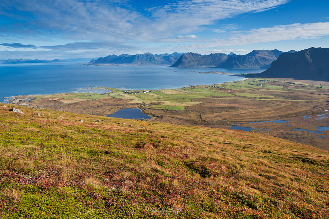
Austvågøy overall offers a great variety of mountains and hikes, and it the home to Lofoten’s highest, and difficult to reach, peak, 1147 meter high Higravtindan. The landscape is more forested and sheltered than western Lofoten, though many routes can be found criss-crossing the rocky peaks of the central high mountain area. Rising from the sandy beaches on the northern side of the island is 787 meter Matmora, reached by perhaps the most spectacular ridge hike on Lofoten.

