ØSTHIMMELTIND HIKING GUIDE
Haukland, Vestvågøy
883 meters
5 km
Difficult/Steep
3-4 hours
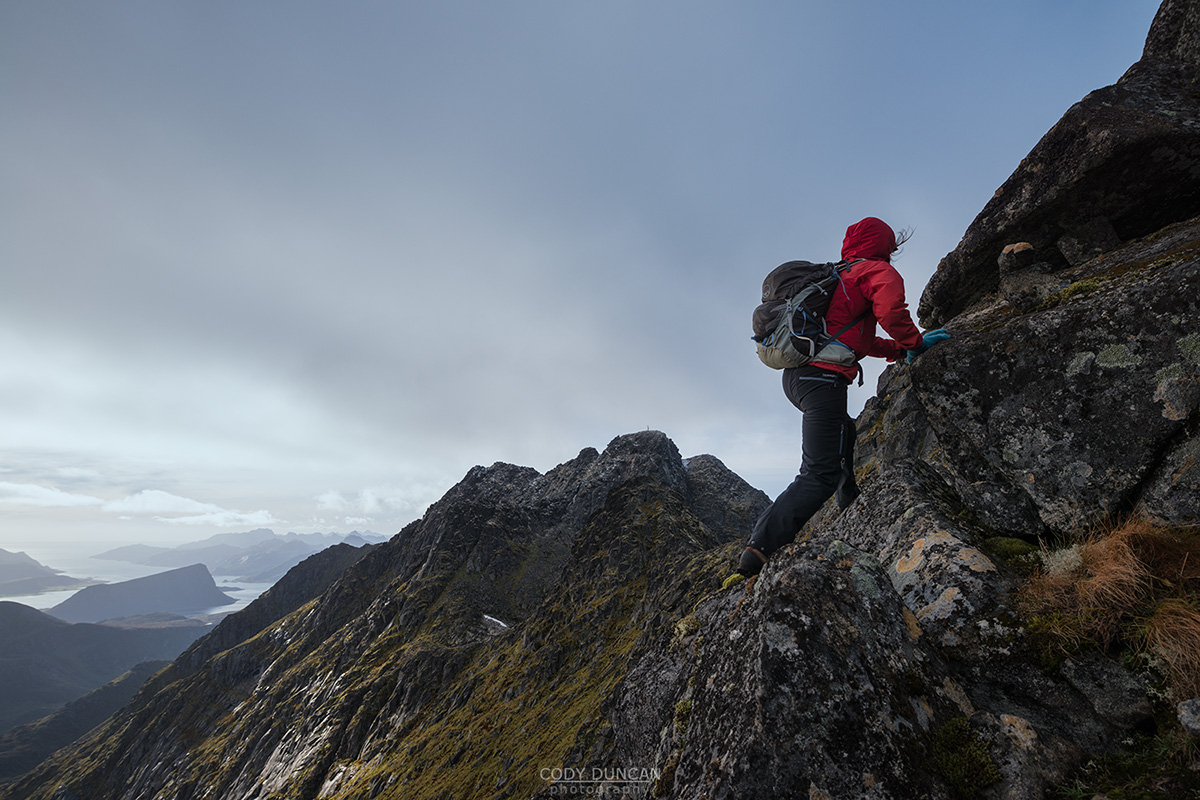
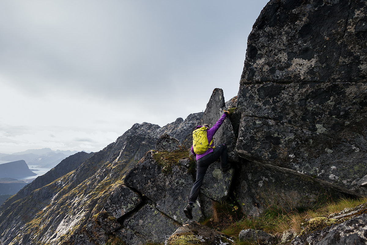
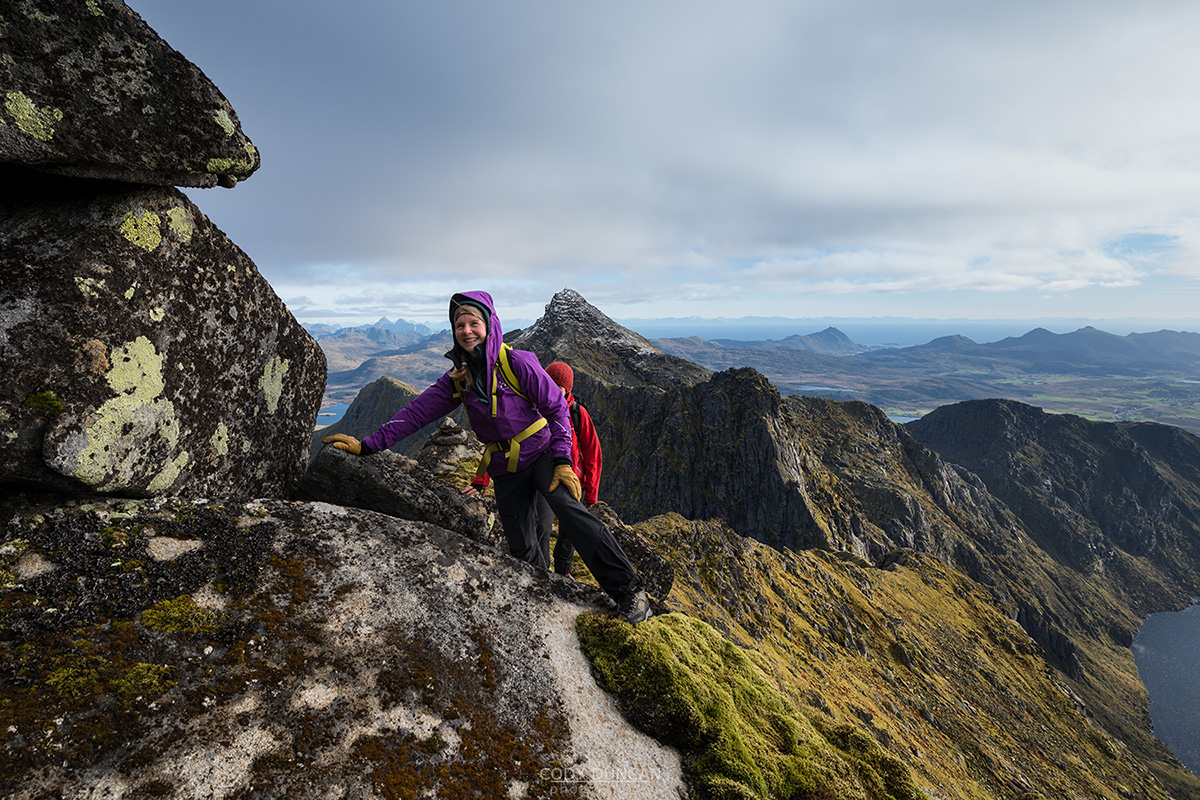
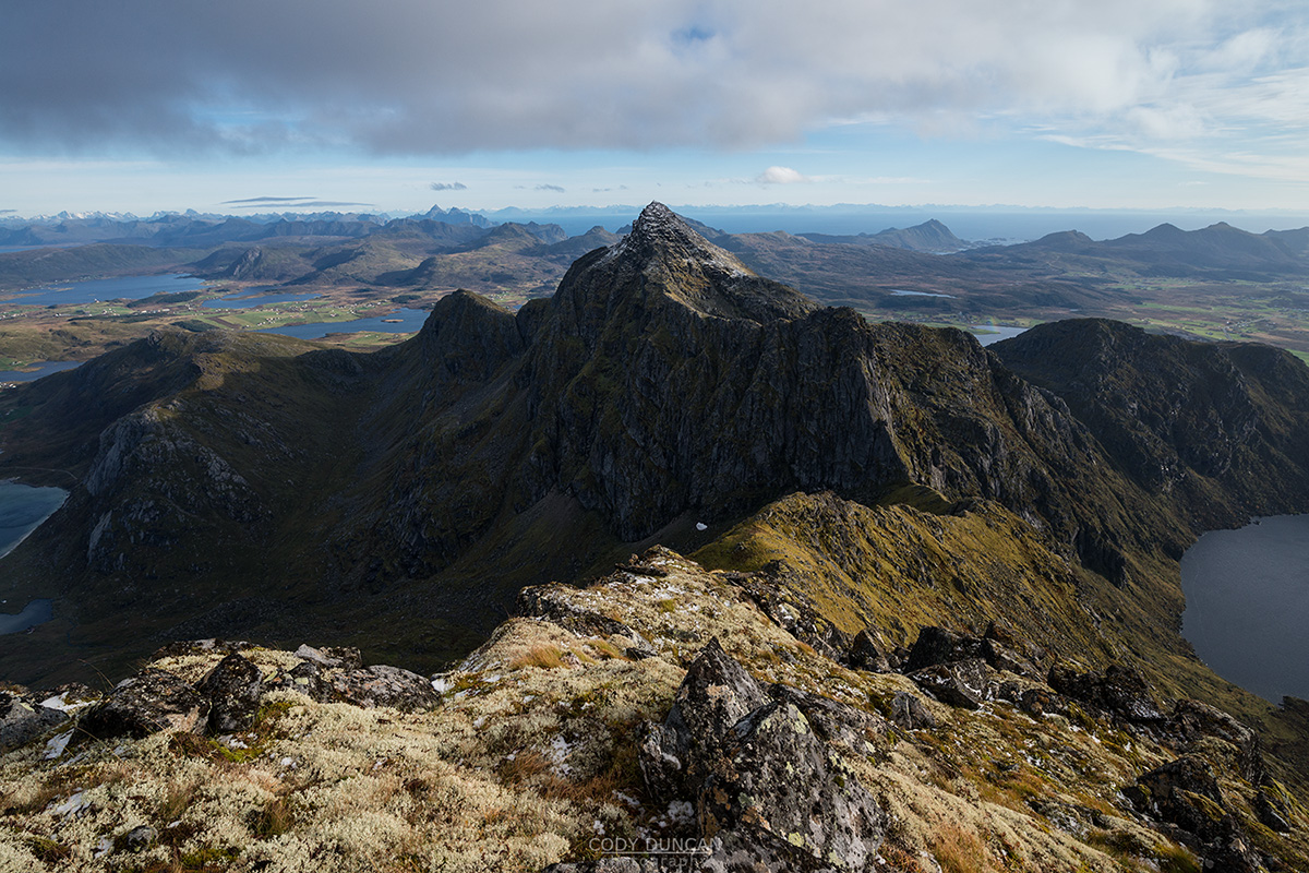
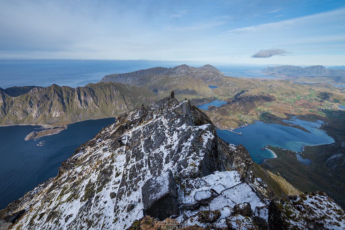
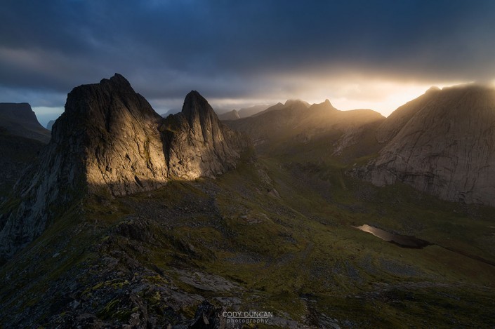
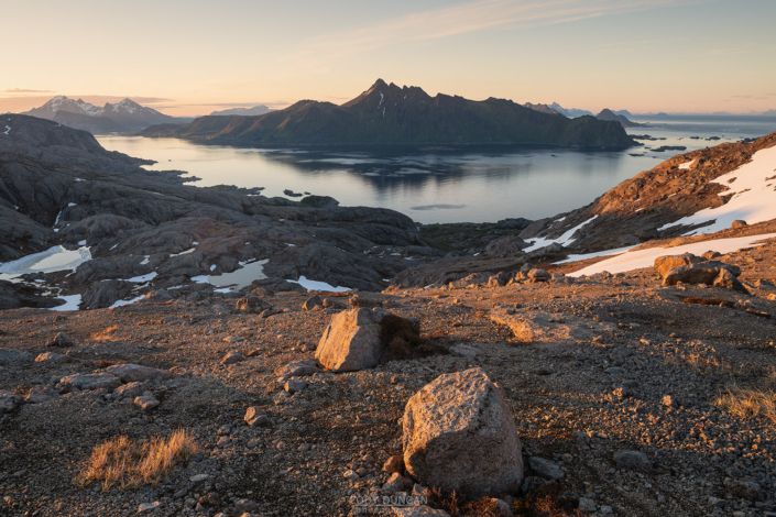
Østhimmeltind is the easternmost high point along the ridge of the greater Himmeltindan massif itself. At 883 meters it is no small mountain by Lofoten standards but is still 80 meters lower that the highest point at Himmeltind. However, don’t be fooled into thinking this is an easier hike. The final push to the summit of Østhimmeltind is a 100m ascent up a rocky ridge with difficult route finding, airy traverses, and a few steep, short sections of scrambling – some with the assistance of fixed ropes on the route. This is a difficult mountain only for experienced hikers.
Getting There
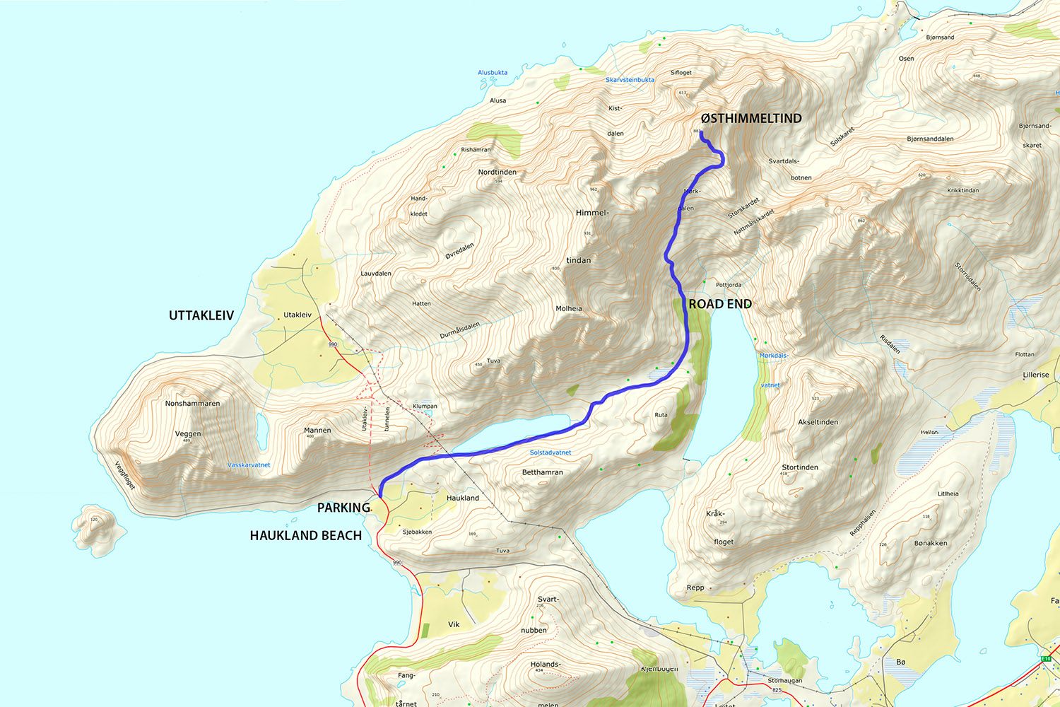
The start to Østhimmeltind is located next to the beach parking at Haukland.
From Leknes take the E10 4km east to Leiteveien, signposted to Uttakleiv. Turn left here.
Follow the road as it wraps around the coastline, passing Vik and arriving at Haukland beach. Park in the large parking area on the left, just before the tunnel to Uttakleiv.
Directly across the parking area is a paved service road. The trail begins by following this for 3km to the base of the mountain.
The Trail
The hike begins with a 3km walk up the service road opposite to the parking lot at Haukland. After 2.5 km the pavement will end as you arrive at lake Mørkdalsvatnet – beware of Mørkdalsmannen, said to haunt the valley! Another few hundred meters down the dirt road and you’ll reach the end of the road. The Norwegian military has an elevator to the summit of Himmeltind, that is why you see the large structure built into the mountain.
As if the road would continue straight, continue onto the small trail as it descends across a short gully before ascending again. Be aware, this is an active avalanche area in spring and early summer.
There are some cairns that eventually mark the route, however that are infrequent and difficult to find. Keep to the most visible trail possible as you generally ascend this hillside keeping towards the left. After a few hundred meters, the route will flatten somewhat and you’ll cross a bit of a boulder field before reaching the back of the valley.
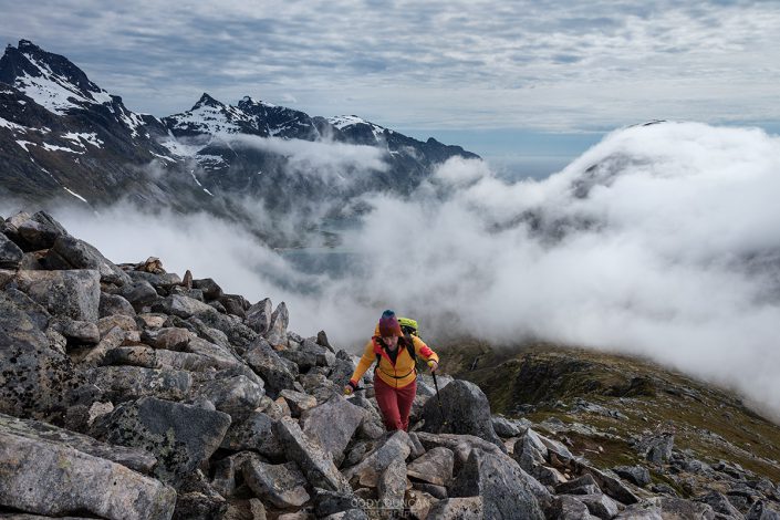
Continue to gain elevation, but start heading a bit to the right, under the summit of Østhimmeltind. Climbing higher, the route steepens. It is better to keep to the right, as the slopes are a bit more gentle. After a final push, you will arrive at the relatively gentle ridge at approximately 750m, with Østhimmeltind rising steeply to your left.
Keep to the center to the ridge as you approach. Before reaching the rocks, look 2/3 up the the ridge and you should see the first fixed rope. Remember this as your initial navigation point to reach.
There will be a clearly worn trail among the vegetation before ascending into the rocks. After the first climb, the route swings a bit to the left before returning more to the center of the ridge and reaching the first fixed rope.
Beyond here, the route goes a bit left again before returning back towards the center of the ridge. Where vegetation is present, keep a close eye out for signs of wear, and look ahead for cairns that are intermittently placed along the route.
Ascending higher and out to the left, once again you will reach the next set of ropes as the trail climbs some steep sections of often wet and muddy rocks. Beyond the 3rd fixed rope of the route, the hardest is behind you and there is a light trail to follow up the steep slopes, with several more moderate rock passages, before one final rocky ascent to the summit. Look for the old summit book hidden inside the summit cairn.
Camping
While fairly flat, the summit is almost completely rocky. A creative camper should find a decent spot for a small tent.
No water available.

