STEINSTIND HIKING GUIDE
Stamsund, Vestvågøy
509 meters
2 km
Easy/Some Exposure
1 - 1.5 hours
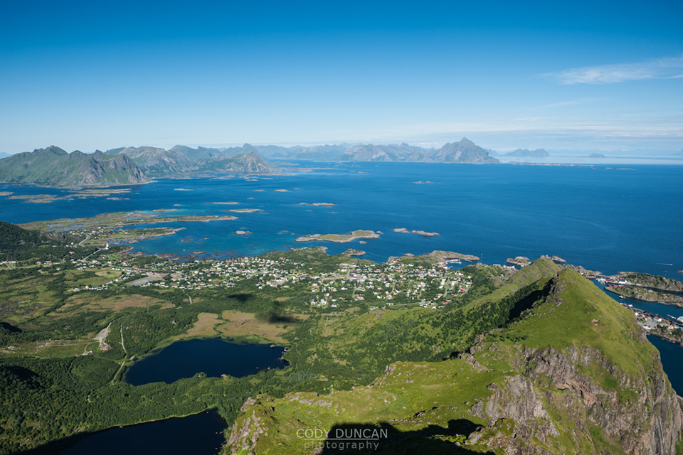
Steinstinden (sometimes called Steinstind, Steinetinden) is a relatively small, 509 meter high, peak located between Stamsund and Steine on Vestvågøy. By Lofoten standards it’s not anything spectacular. The main attraction of the peak is its close location to the Stamsund youth hostel, about a 5 minute walk across the street for the beginning of the trail. If you have access to a car, I would recommend setting your sights on more aesthetic peaks. If you just got off the Hurtigruten in Stamsund and are lucky enough to have some fair weather, then Steinstinden is the perfect introduction to what the Lofoten Islands have to offer. The views aren’t bad, just not as good as elsewhere on the islands.
Getting There
There are several access points to hike up Steinstind, I’ll be explaining the route from Stamsund, located on the southern coast of Vestvågøy.
From Leknes, take the road 815, signposted to Stamsund. From the east, you can take the coastal route along the 815 after leaving Gimsøy, this is shorter than traveling along the E10 via Leknes.
As you enter Stamsund you will continue for several kilometers until you see the Joker market on your left. Turn right on the street Ringveien. After about 650 meters, when the road is making its second gentle right turn, you will see a small parking area on the right, at the entrance to the cross country ski track – with street lights above, going into the forest. Park here.
The Trail
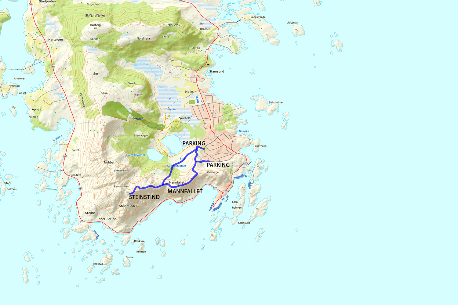
Take the path into the forest. After about 100 meters on the pathway, there will be a sign and a small trail coming from the left, take this. After another 100 meters on this trail it will split. Straight/left takes one up the peak of Mannfallet (308 meters). To the right the trail continues through the forest and up a steep, often muddy trail directly towards Steinetinden. Personally I think hiking up Mannfallet first is the more scenic route, and even slightly easier. I generally save the steeper, more direct route for the way down, to make a bit of a loop out of things.
Whether going over Mannfallet first or heading direct towards Steinetinden directly, you will eventually find yourself in a flat grassy area between the two peaks. From here the trail steeply climbs about another 150 meters up to the summit of Steinetinden.
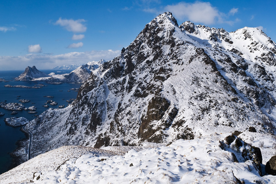
While for the most part the trail is not anything technical, there are several locations where it passes quite close to high, steep cliffs and one is exposed to a possible fall of 400-500 meters. In wet conditions the trail can also be quite slippery/muddy. There are also several short rock steps that need to be negotiated, again with some exposure to a possible long fall.

