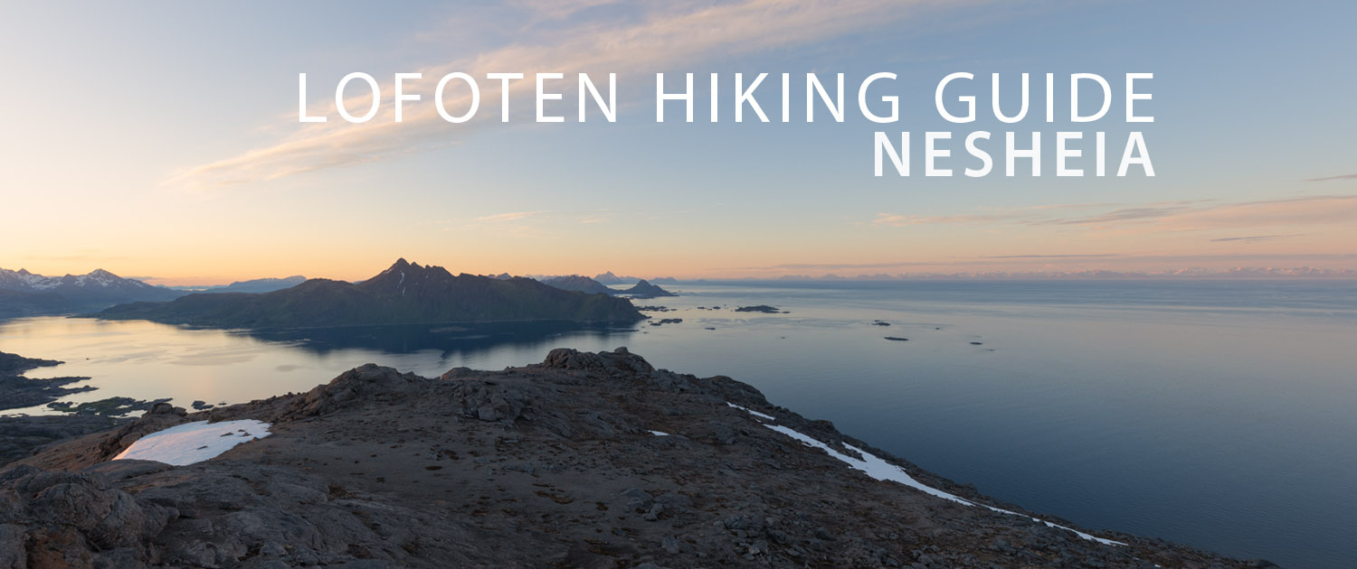
NESHEIA HIKING GUIDE
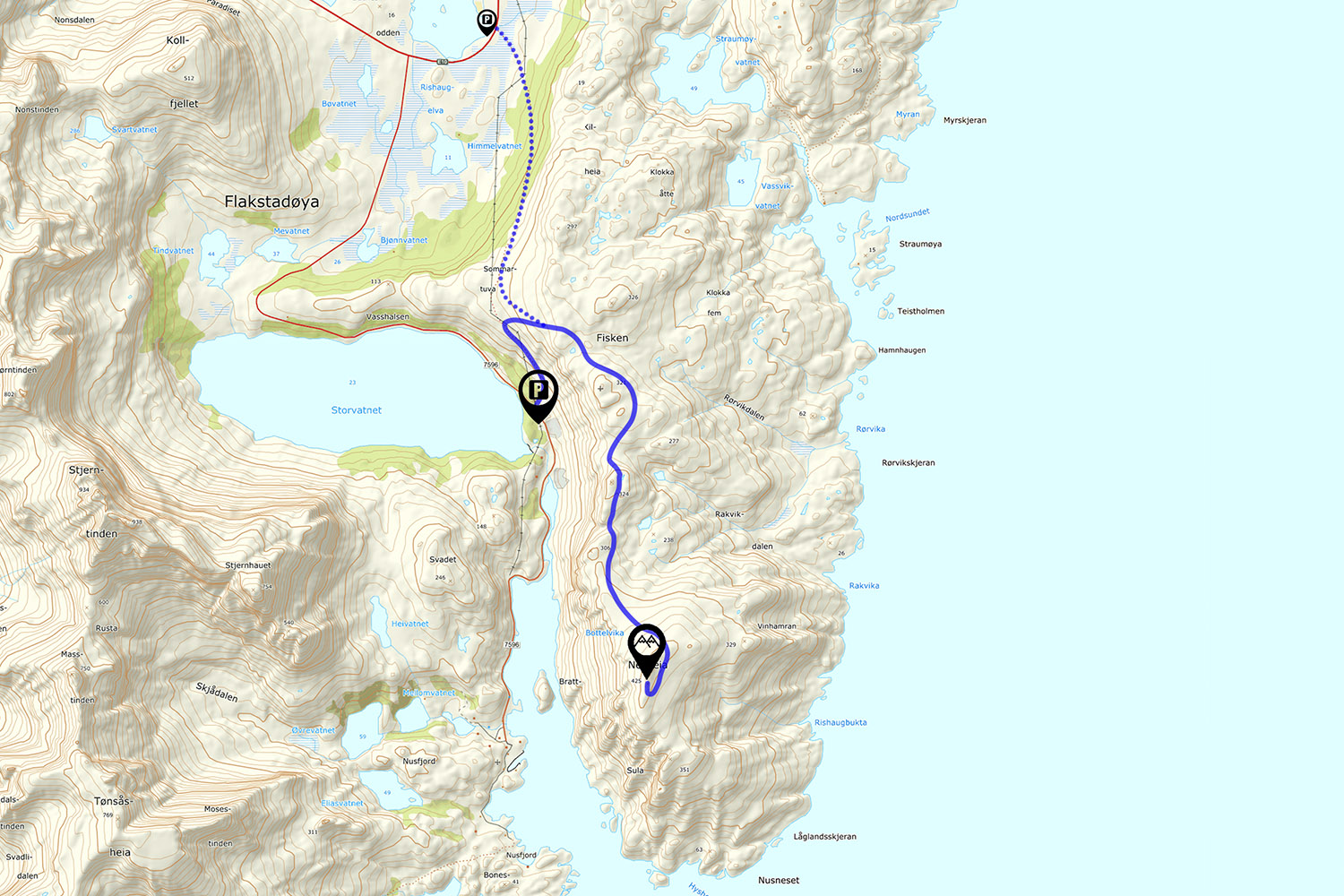
Nusfjordveien, Flakstadøy
434 meters
4.25 km
Moderate
2-3 Hours to Top
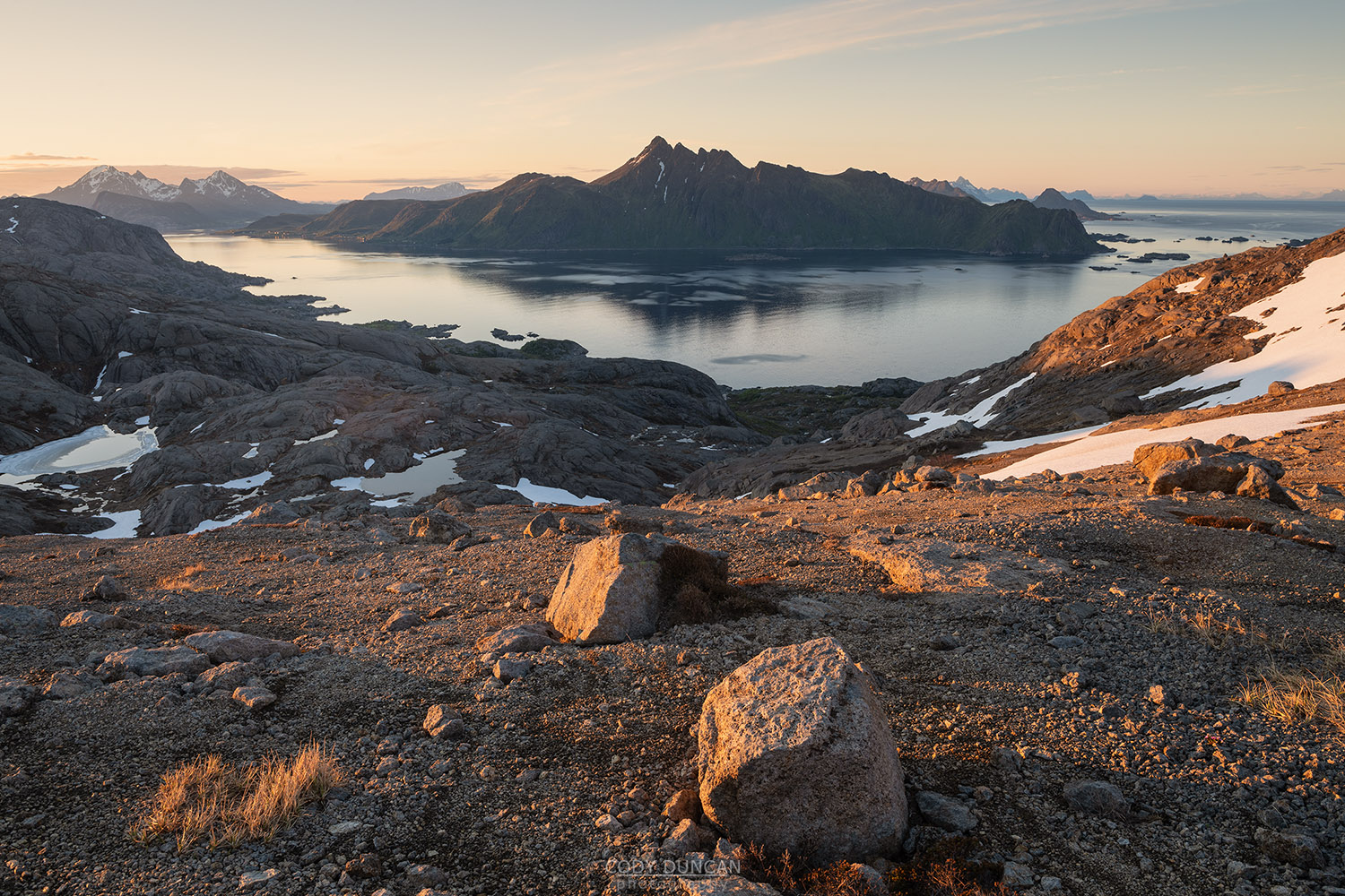
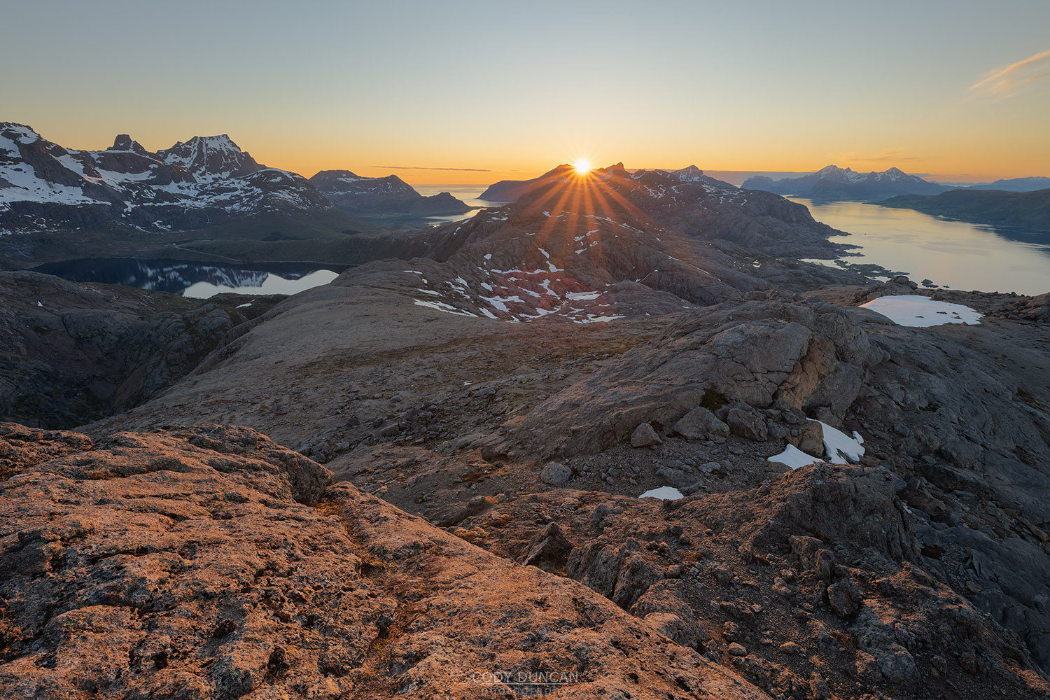
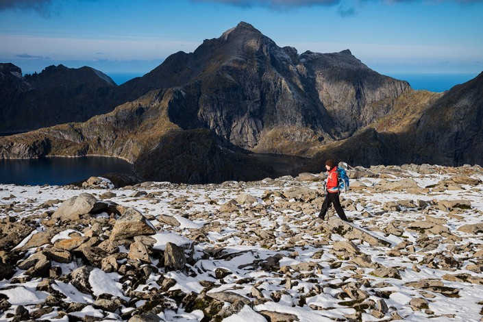
Nesheia is the southern high-point of a unique, almost desert-like landscape which exists nowhere else on Lofoten. The hike begins on a well worn forest track, before a short sandy ascent on faint trails to the rocky ridgline. Heading south across the hilly terrain of sandy decomposing granite, the route is mostly off trail across the barren landscape. At the halfway point is one short, but steep notch which must be climbed, that might give pause to some people.
Getting There
There are two trailheads for Nesheia, this guide will be for the route beginning from Nusfjordveien.
Located in eastern Flakstadøy, take the E10 in the direction of Nusfjord and turn onto Nusfjordveien road (fv 807). Drive along the road for 4km, just beyond Storvatnet lake, though a short section of forest, and arrive at a parking area on the right side of the road (opposite an area used to store old road working stuff). Park here.
The trail begins 20 meters back (towards the E10) on the opposite side of the road, with a sign post pointing into the forest, marked: Kilan/Napp.
The Trail
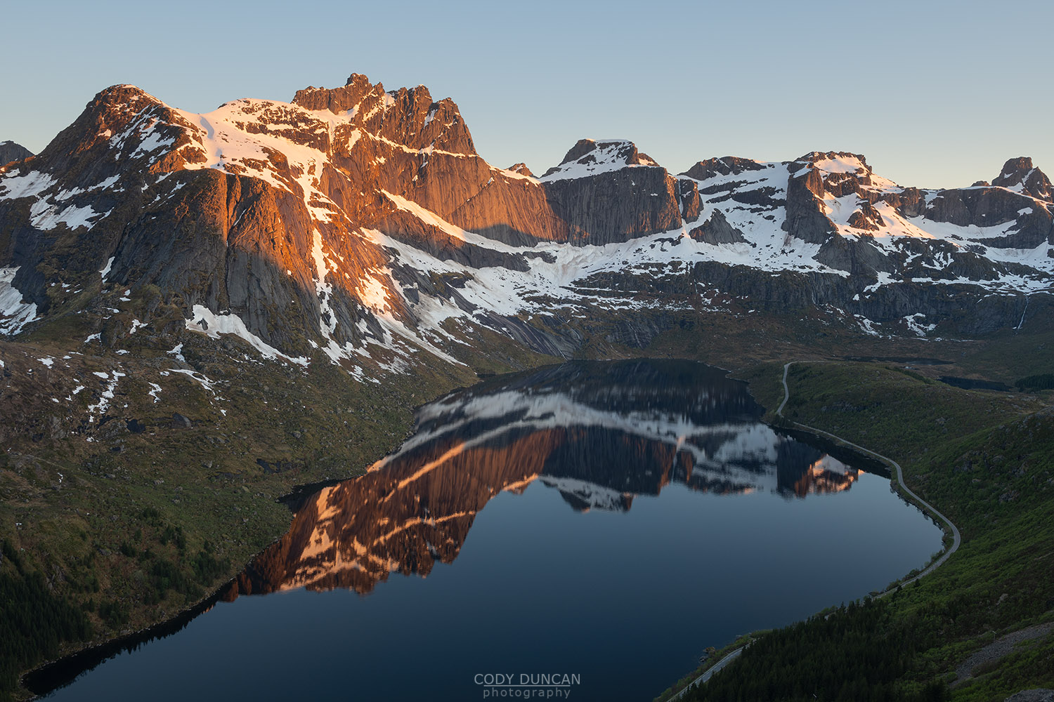
Entering the forest, the trail begins on a well worn path gently gaining elevation. After a few minutes the trail leaves the forest with nice views over lake Storvatnet as you continue to gain elevation.
As you arrive at the first telephone pole you will soon leave the main trail and head east, uphill, towards the power lines disappearing over the ridge above you. There are only faint trails for the ascent up the hill, so just aim for the highest telephone pole, by which point you should pick up a trail heading south.
Continue south along the faint trail in the direction of the antenna on the rocky hillside ahead of you. The trail will continue to the antenna, but it is also possible to cross the lower angle rocks a bit lower and further left (east). No matter which you choose, circle around the rocks on the left side of the antenna, before heading south again along the ridge.
Continuing south, likely off trail, the route begins a moderate descent. From the low point, you should pick up a faint trail, marked with a few cairns, before ascending again into a rocky hillside directly south. Here, the trail climbs to a short, but steep notch, which requires a bit of climbing. This is the hardest part of the route.
Passing the notch, the trail continues south, before descending down into a wider valley. There are some faint trails here and there, but keep to the west side following whichever route seems easiest. There can be a few dead-end, cliffs here and there if you choose a wrong path through the rocks. But the overall hiking should remain fairly easy.
Once passing the low point, begin the ascend the loose and gravely hillside, gently turning east as you gain more elevation. There are a few rock or boulder steps here and there if you get slightly off route, but nothing overly difficult. As you gain steady elevation, the summit point should be visible a short distance to the south. Continue past the summit, and climb from the south for the easiest ascent.
Follow the same route back. Or, as you can see, the unique nature of the landscape provides a wonderful area to wander around across, so you can make your own return route as you choose (back the the east side of the antenna).
Camping
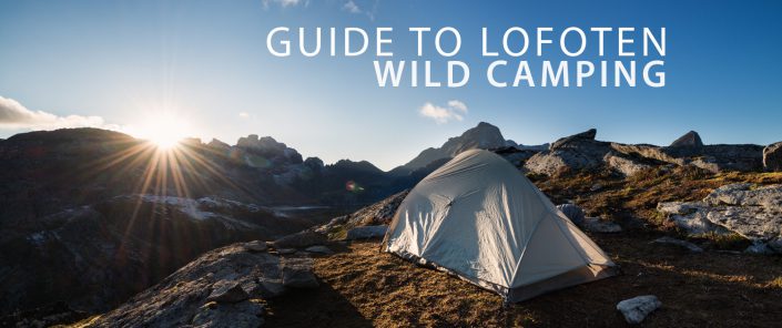
While there are numerous flat areas for a tent throughout most of the hike, the terrain is sandy and gravely, so make sure you have a ground sheet.
Small ponds are in the area with limited water flow. I would only drink with a water filter.

