BUNES BEACH HIKING GUIDE
Reine, Moskenesøy
80 meters
2.8 km
Easy
1 hour
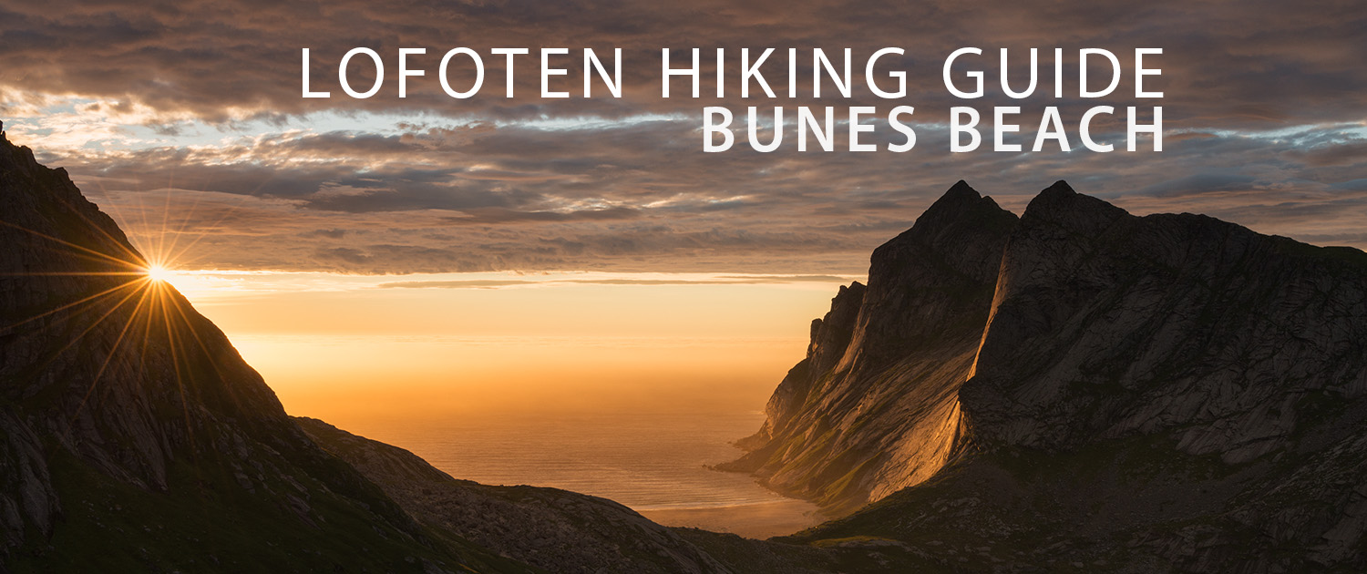
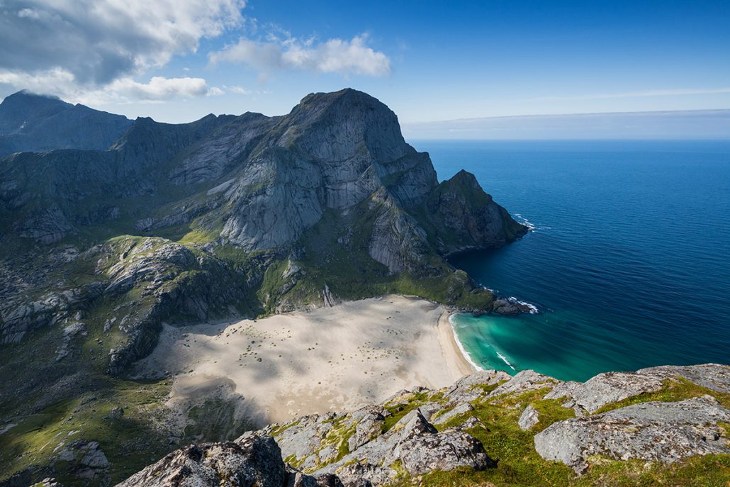
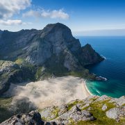
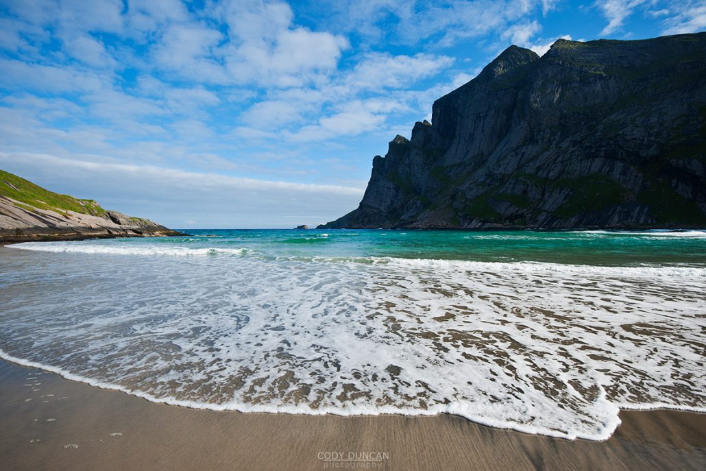
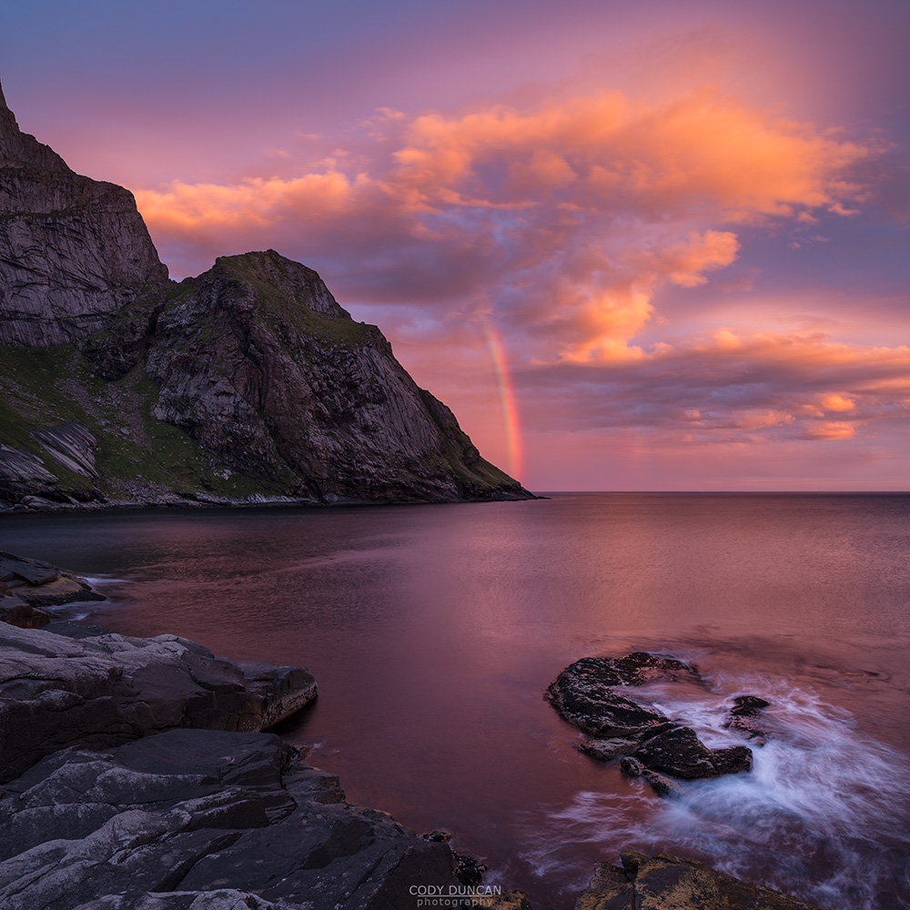
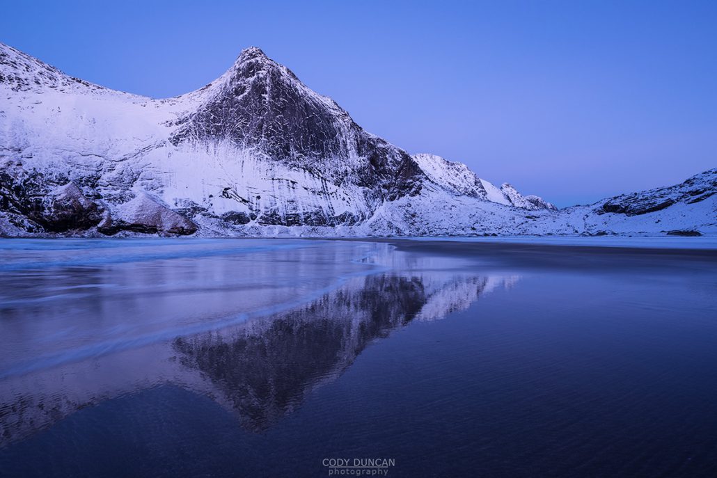
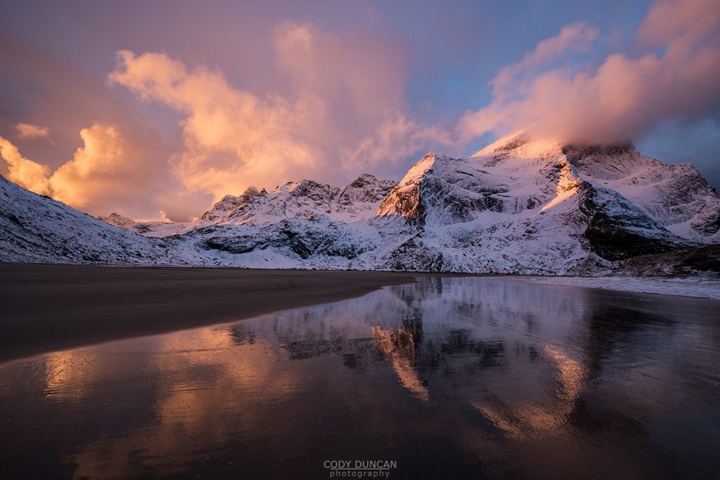
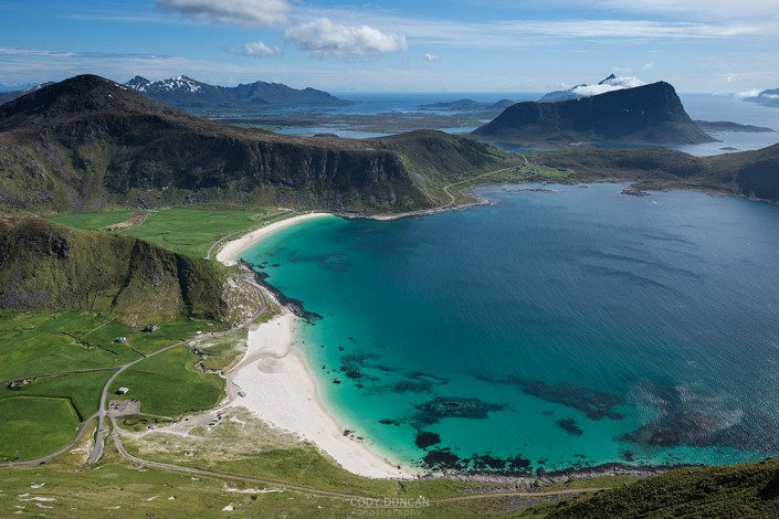
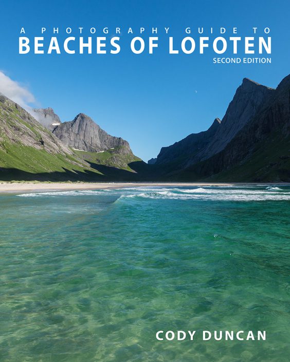
With its vast expanses of white sand and imposing mountains, Bunes is one of Lofoten’s most scenic and isolated beaches. Reached only by ferry from Reine, a sunny summer day will see people lined up on the pier to make the trip. In high summer, the boat often fills to capacity, so make sure to arrive early. Most people visit only for the day and as afternoon approaches, the crowds begin the walk back over the pass on their return to civilization. The beach now becomes empty and quiet, with only a few groups of campers remaining, their tents spread out across the grassy dunes at the back of the beach. Sleep might be hard to come by as summer sun will shine until late in the night when it finally passes behind the mountains to the north.
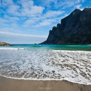
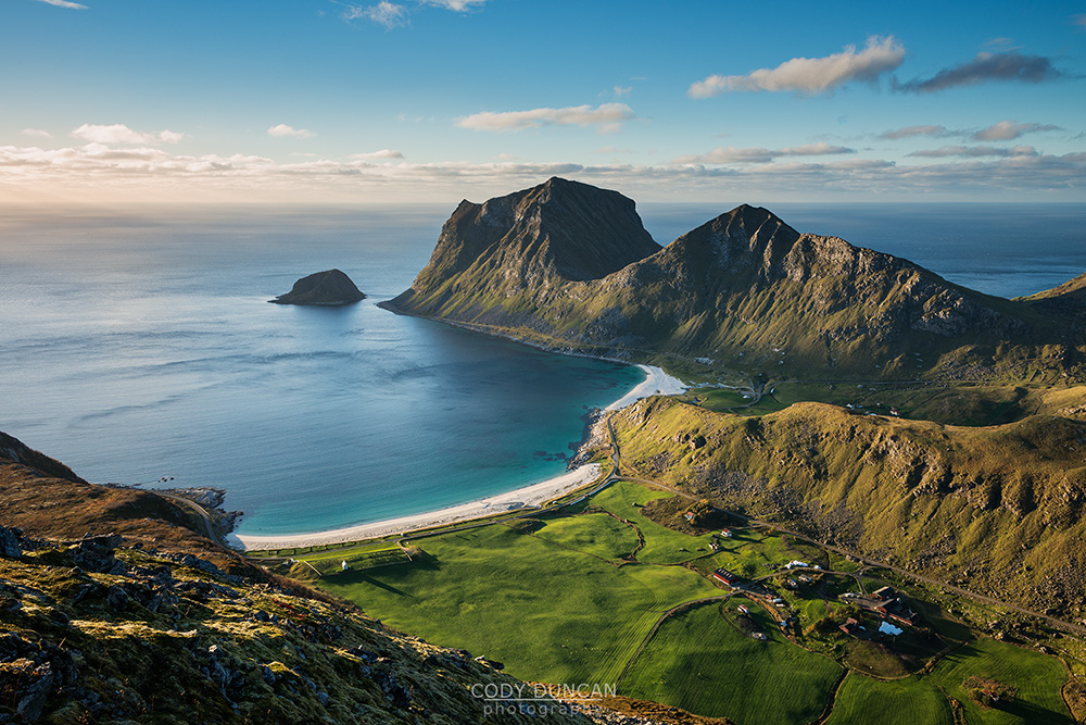
The beach is larger than it first appears and it will take you 10-15 minutes to reach the water after first touching the sand. High, glacially carved cliffs surround the beach, the massive 600 meter west face of Helvetestind being the most impressive. Facing north-west, Bunes is a good place to catch a sunset from late summer to early autumn. Wander out to the cliffs on the left, past the single house, for the best view. Storms can unfortunately leave sections of the beach rather covered in debris, particularly towards the back. Though on the bright side, a ready supply of driftwood can be found for evening campfires.
Getting There
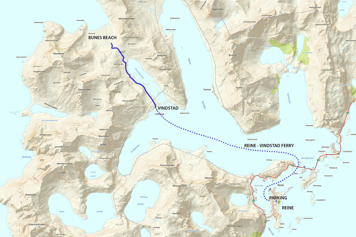
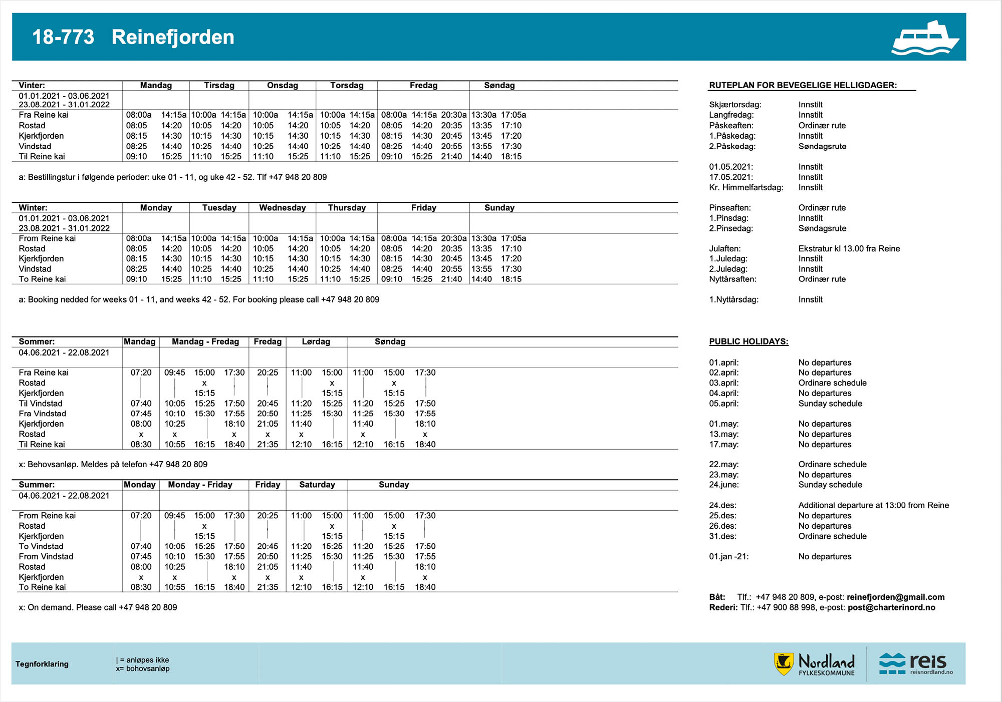
Bunes Beach is located on the northern side of Moskenesøy, in the western part of Lofoten. It is only reached by a local ferry, with daily departures from Reine.
A new ferry is running from summer 2021, which is now located in the guest harbor, near the Circle K gas station, just beyond the small toilet building.
New parking regulations are coming to Reine by summer 2022. For visiting Bunes, paid parking is at the Ytre Havn, 40 NOK/hr.
The Trail
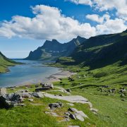
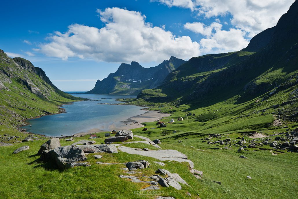
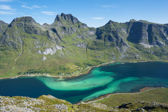
Turn right once leaving the pier in Vindstad and follow the easy path through the village and towards the back of the Fjord. After about 2 km and just before the last houses, there will be a small trail on the left. This should be marked with a sign saying ‘Bunes.’ An easy and well worn trail leads over the small pass and down onto the beach. Be sure to measure how long you’ll need to get back to catch the ferry on time, but 1 hour each way should be plenty for most people.
Camping
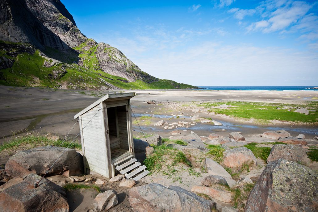
The best camping is on the flat grassy dunes found at the back of the beach. The area is large so even if some other groups are present, there is no feeling of crowding. No supplies are available in Vindstad, however there is a toilet, and sometimes open cafe in the old yellow school building. Fresh water can be collected via several waterfalls towards the back-left side of the beach. A door-less drop toilet is on the side of the trail just before reaching the beach.
A note of caution should be made to the weather. The beach and camping areas are completely exposed to the north-west and any weather which may come from there. And once the afternoon ferry leaves, you are stuck there until the following morning, so be sure to check the forecast for the following days if planning on camping. If bad weather does arrive, there are several large boulders on the Vindstad side of the pass that have enough room for 1-2 tents and should provide enough shelter from the wind, depending on the direction.
Rockfall has occurred on several occasions during summer in the last years from Helvetestind. It is best to avoid camping camping below the mountain itself.

