BLÅFJELLKAMMEN HIKING GUIDE
Skjelfjord, Flakstadøy
482 meters
3 km
Easy/Moderate
1.5 - 2 Hours to Top
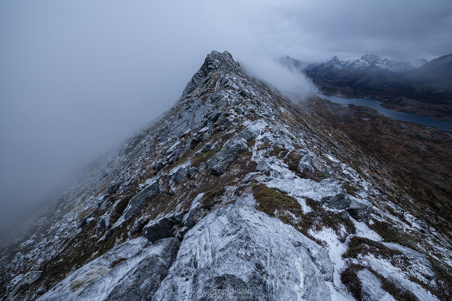
Beginning with the well worn trail to Volandstind, the route soon departs and follows faint hare trails across a sometimes boggy moorland before making a gentle ascent to an initially broad ridge with occasional steep rock steps here and there. Overall a generally easy hike for those looking to get a little more off the beaten path.
Getting There
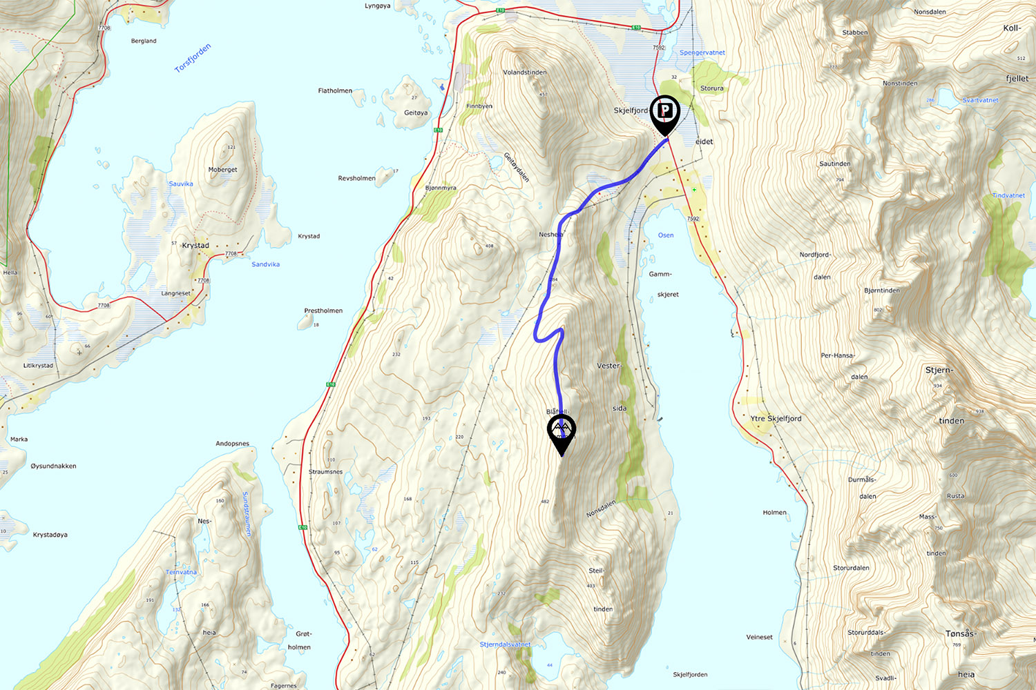
The trail begins in Skjelford, a few kilometres west from Ramberg. From the E10, turn south into Skjelfjord. As you approach the village, there will be an orange building on the right, with cod racks on the opposite side. Park in the parking area next to the building. Look for the large boulder ahead of you and follow the obvious trail towards the fence and through the gate.
The Trail
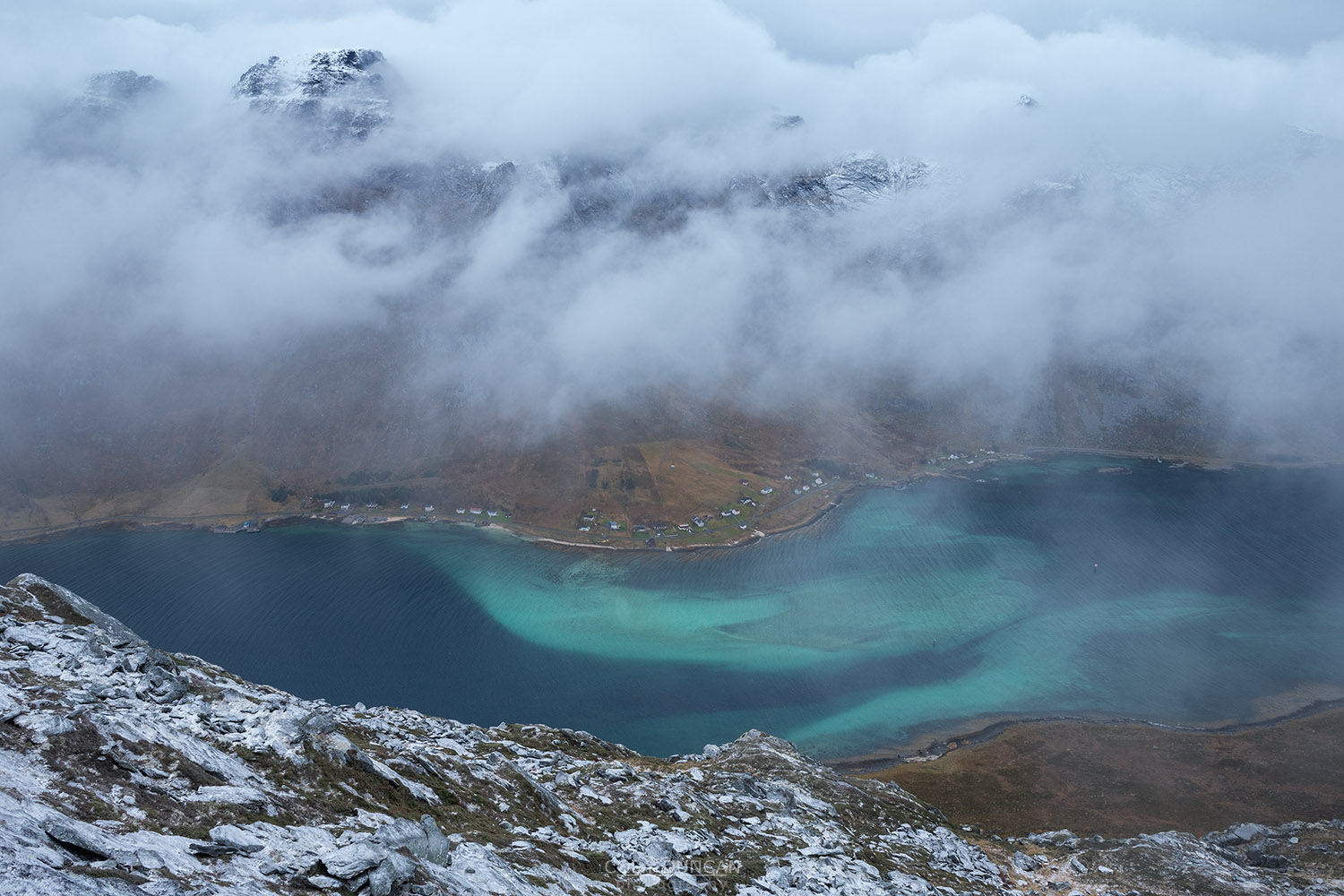
From the orange community building, follow the trail through the fence and towards the hillside ahead of you. After a short ascent you’ll arrive at a wind shelter with views overlooking Skjelfjord. Continue along the trail behind the shelter and begin ascending the now steeper hillside below the power lines.
Shortly after passing a power pole, the trail will split. Keep to the left, ascending the steeper hillside, parallel with the power lines. The trail continues with a gradual ascent along the side of a small hill. Eventually the trail begins a short descent to cross a small river/gully on the right. Stop here, don’t continue along the trail, this is the route to Volandstind.
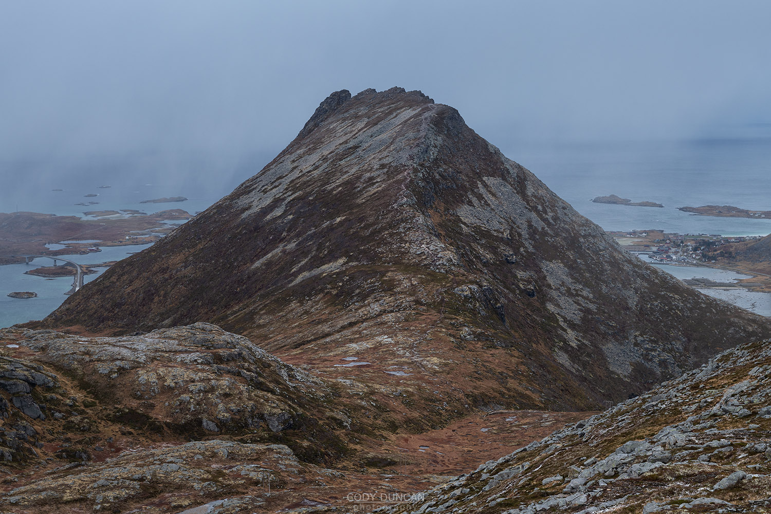
Leaving the main Volandstind trail, you might detect some faint hare trails to follow, and eventually pick up some cairns leading the way. However, even without a trail, you want to continue following the power lines in a southwest direction. You will see the steep ridge of Blåfjellkammen ahead, rising from the left. However you are aiming to pass this and will ascend from the west side.
Following the power lines the route gently ascends across the occasional boggy ground. Around 2 km and at 300 meters elevation you’ll want to make sure you are traveling on the left side of the power lines while beginning to look at the gentle slopes on the west side of the ridge, looking for the easiest route to ascend.
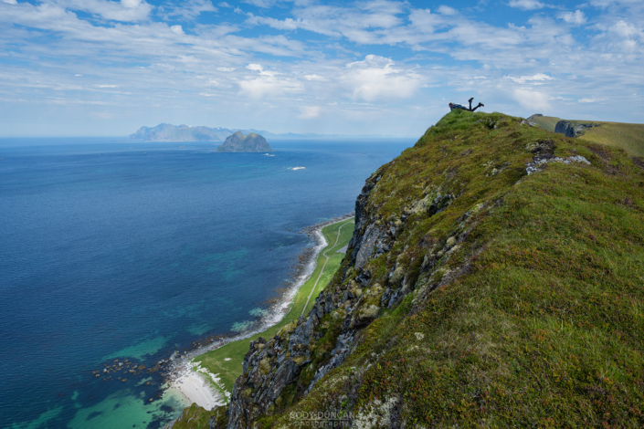
There is no right way to ascend. The vegetation is deep and spongy, so if it is dry, it can be easier to hike on the flat rocks. It doesn’t matter where you meet the ridge at, but in general I would suggest heading towards the left highest point, at just over 400 meters. From here, follow the trail for 1 kilometer south along the ridge to the next high point at 482 meters. Here you will find a cairn marking the high point of the broad summit.
Beyond the summit cairn, the ridge narrows and continues to several other small high points, which you can continue to if you want.
Camping
While mostly rocky and sandy, there are numerous wide and flat areas along the ridge suitable for a tent. No water.

