HAUGHEIA HIKING GUIDE
Gravdal, Vestvågøy
145 meters
2.4 km
Easy
45 minutes
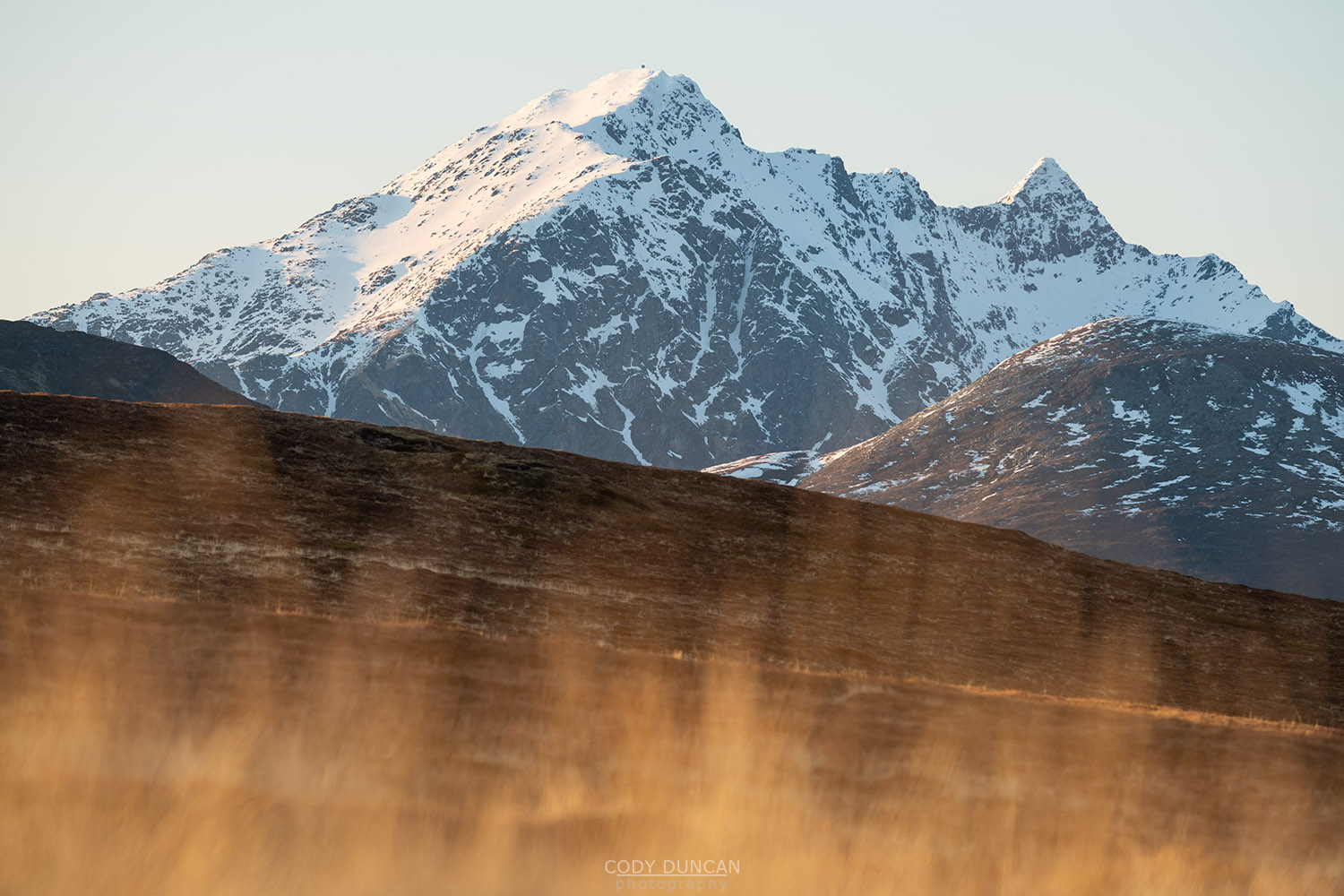
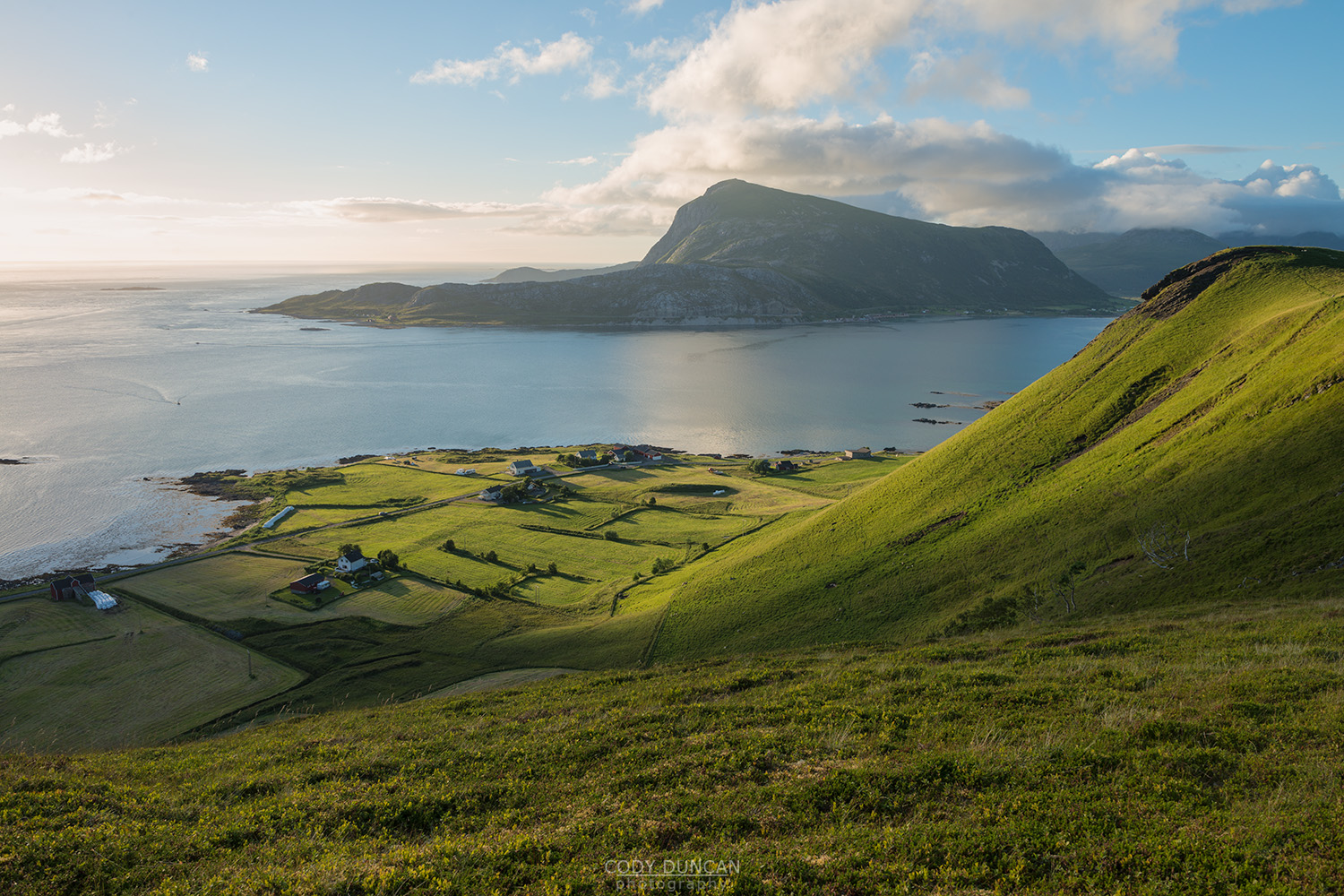
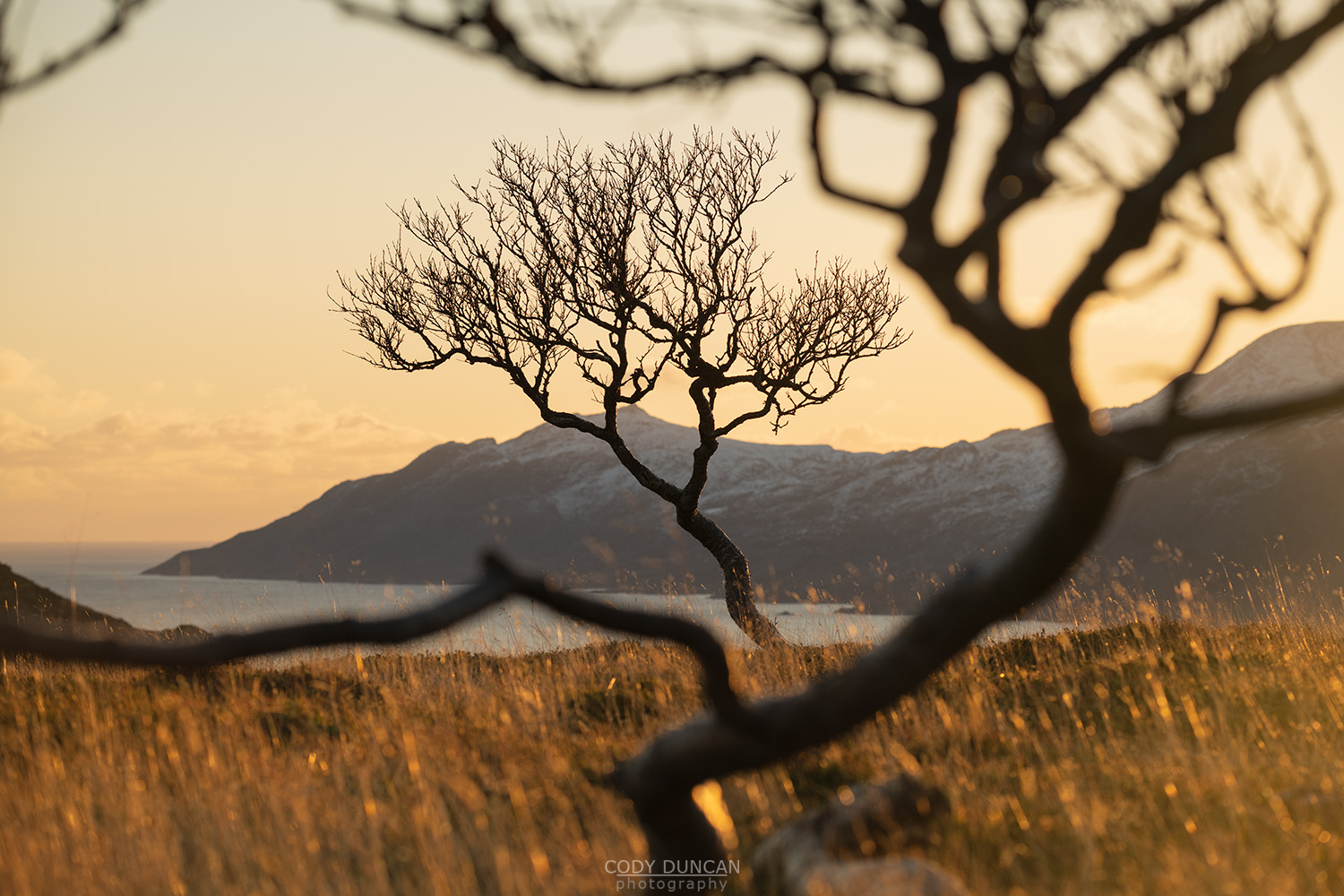
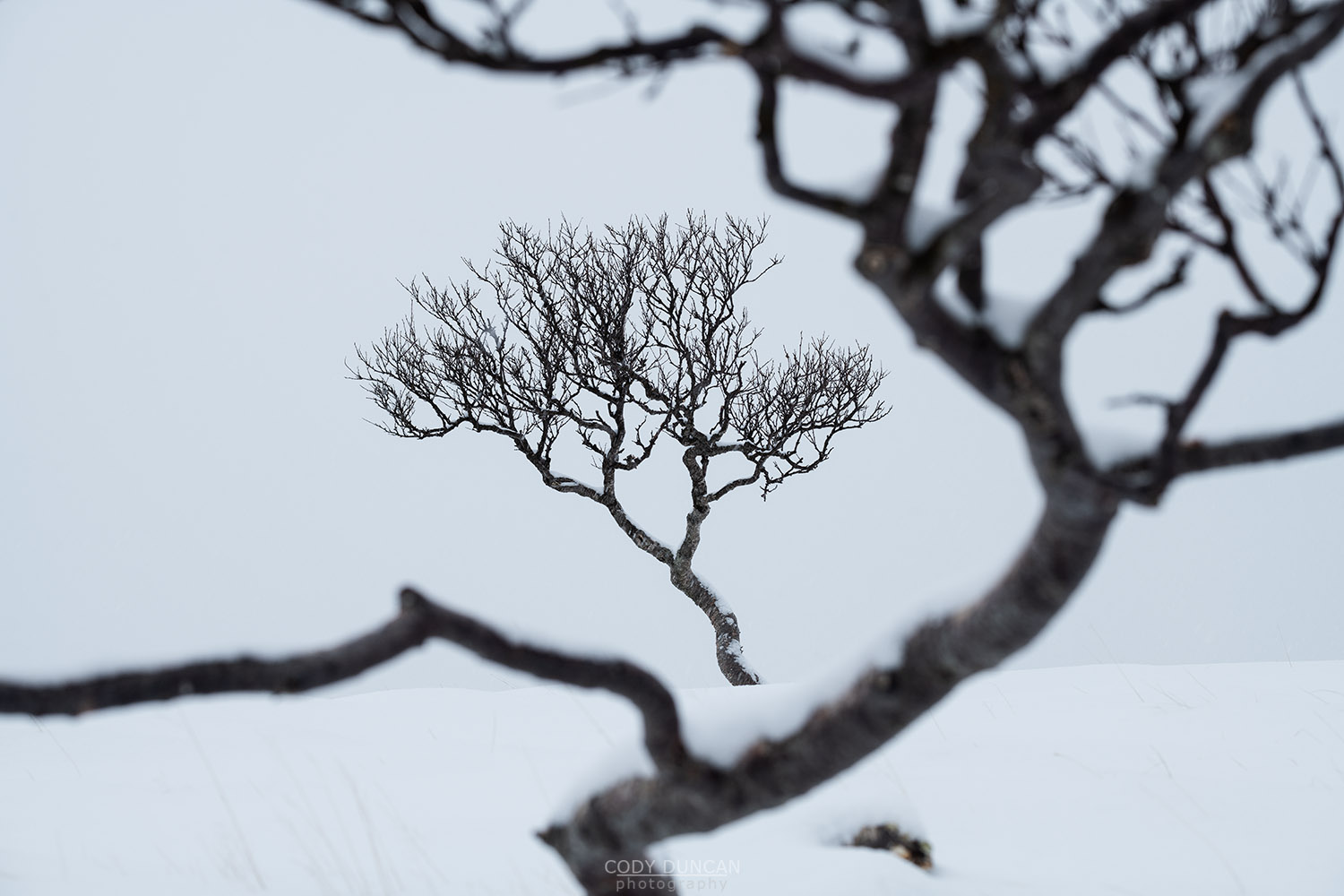
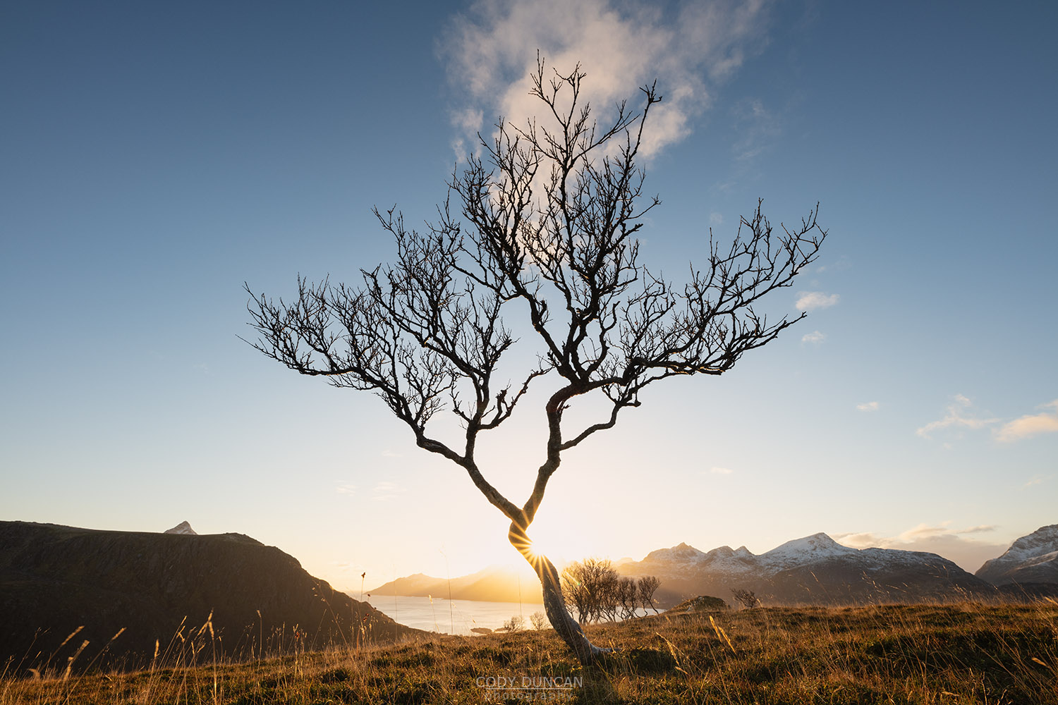
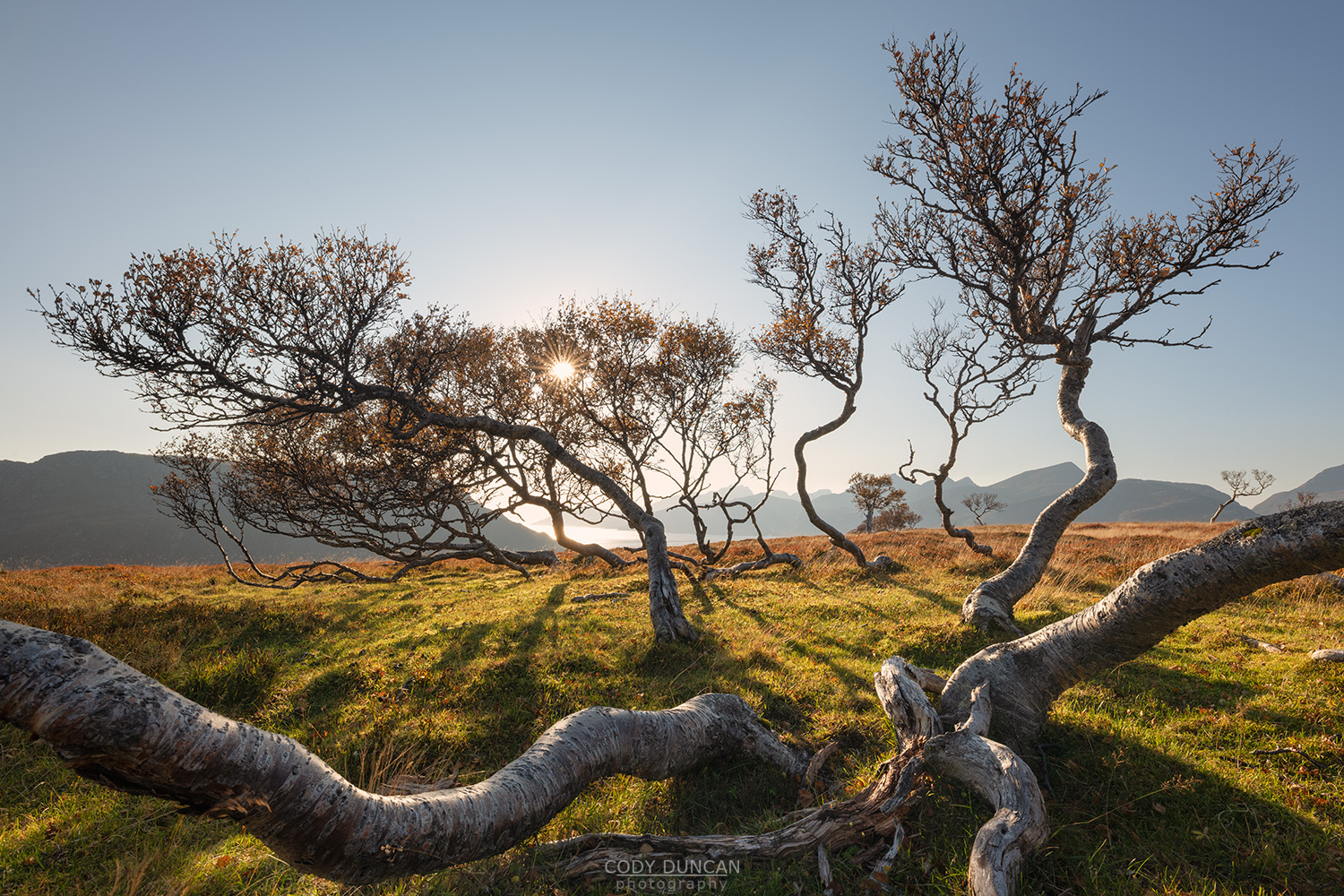
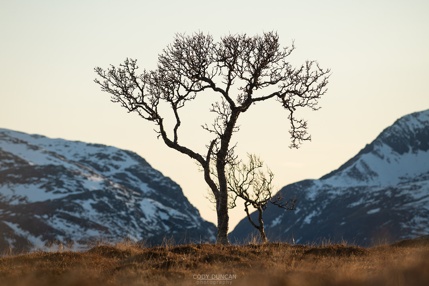
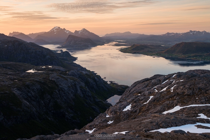
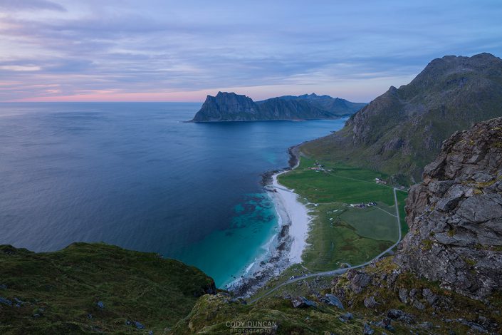
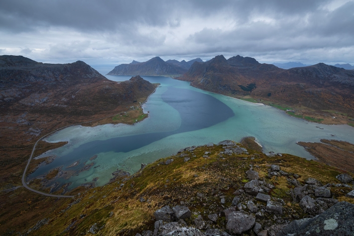
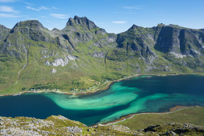
Haugheia is an easy family (and child) friendly low, flat ridge rising to the north of Gravdal on Vestvågøy. Popular with locals for an afternoon jog or Sunday walk, the path is well worn and easy to follow. While there are more spectacular views to be found in the area, Haugheia does have a nice overview across Nappstraumen to the mountains of Flakstadøy. For the photographer, the most interesting subject might be the small grove of twisted mountain birch trees about 2km into the walk.
Getting There
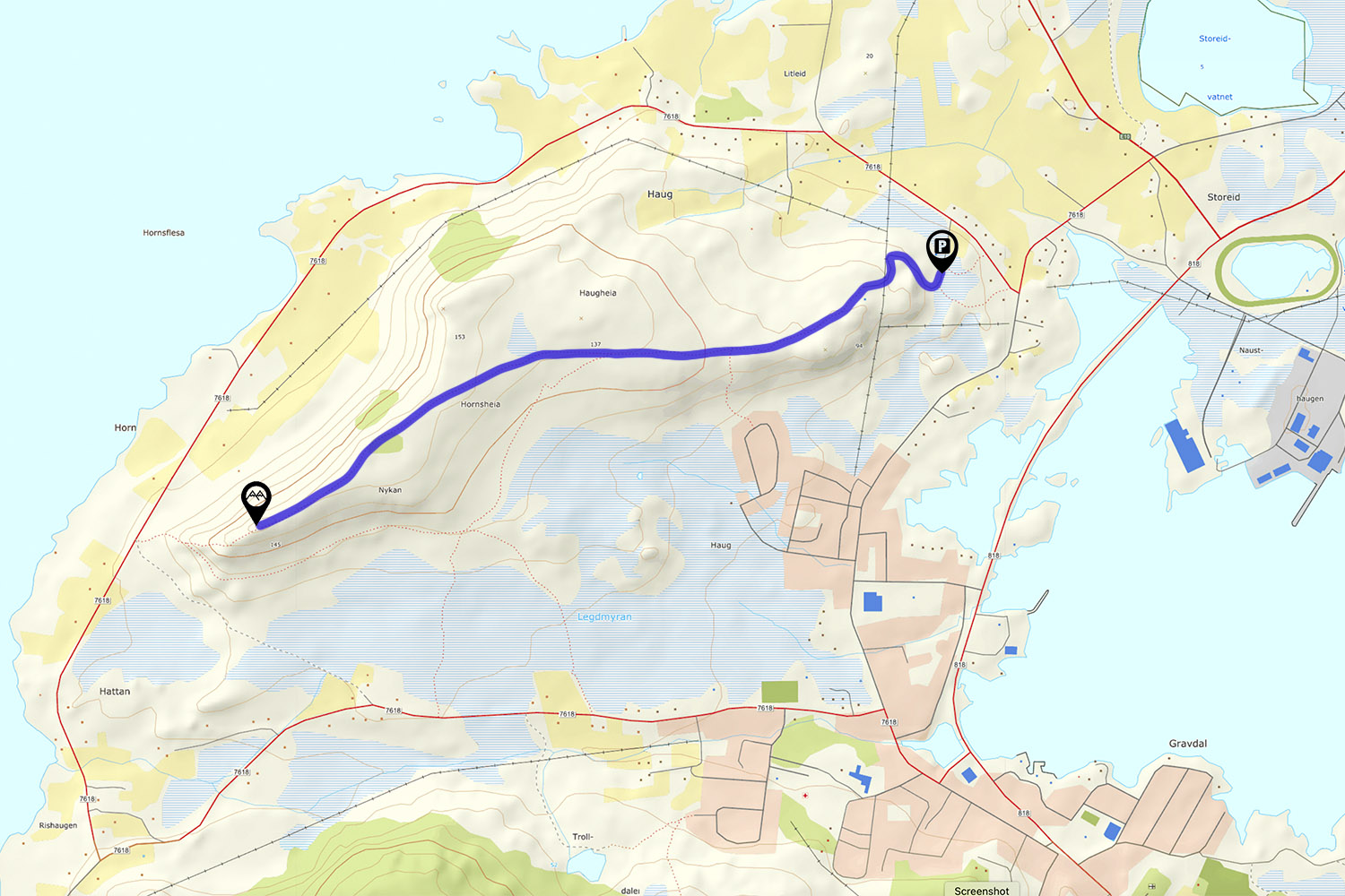
Haugheia is located a few kilometres west of Leknes. From the E10, turn west onto Haugsmyra road. Follow this for several hundred meters before turning right onto Haugveien road. From this intersection, it is 280 meters until you arrive at a small gravel road on the left, with a small green sign marking Haugheia trail.
Follow the gravel road for 150 meters, past a small building, to the main parking area, with room for 6-7 cars. Park here if possible, though it is a popular location, and can often be full, especially on the weekends. There are several other small pullouts further up the road, and also room for a car or two by the building.
The trail
From the parking area continue up the gravel road for approximately 400 meters. This is also the steepest part of the hike. The road flattens out as you arrive at an old building, keep this on your left, and continue straight down a smaller gravel path which shortly after turns into a dirt trail turning slightly to the right.
Continue along the well worn trail. There are some rocks, a few muddy sections with boards to cross over, and a couple others to navigate around. As the trail begins to ascend it will improve in quality. After 500m on the trail it arrives at a gate, continue strait through this as the trail gently ascends ahead.
After the gate, there are several other intersecting trails which take you further out the the ridgeline. The most direct route is to continue straight on the most well worn trail(s), along the left side of the gently sloping ridge. In 1 km the trail arrives at a small grove of trees on the now steeper north side of Haugheia.
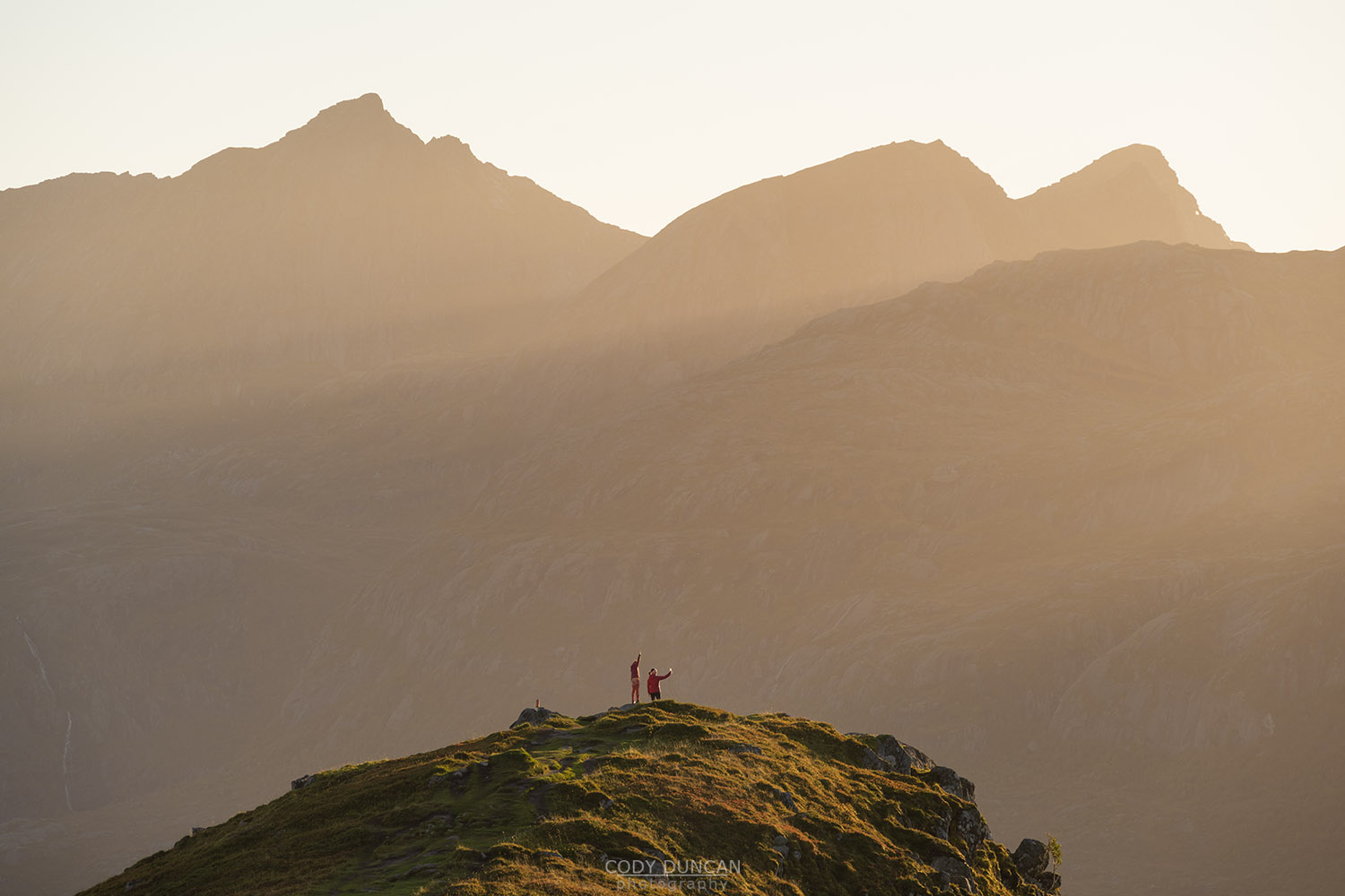
Continue strait as the ridge begins to narrow. In 500m you will reach the small rock outcropping and high point on the western end of Haugheia. There is a summit register in a mail box here. Continue back the same way you came.
Camping
Haugheia is a busy location and the frequent passersby make it less than ideal as a camping location. There are however, numerous flat areas should one desire to camp. Further on the northern side of the ridge being slightly more isolated.
No water available.

