VEGGEN HIKING GUIDE
Uttakleiv, Vestvågøy
489 meters
1.75 km
Easy/Moderate
1 - 1.5 hours
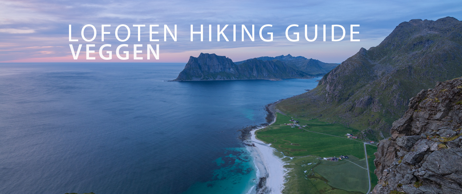
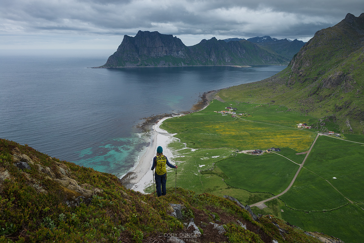
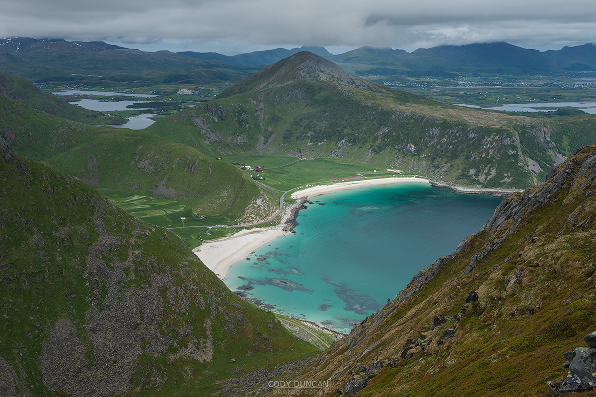
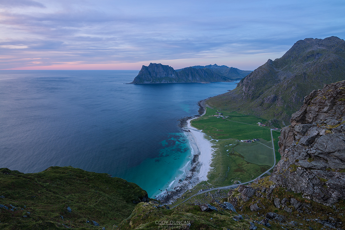
Rising nearly 500 meters directly over Uttakleiv beach, Veggen is a big brother to the more popular Mannen. Literally translating into English as ‘the wall,’ what appears at first to be an impossibly steep ascent, is a rather straightforward and well formed trail – though be warned, the trail does ascend for 400 meters with no relief in steepness, so unfit legs might be burning by the top. With nice views over Uttakleiv and the more distant Haukland and Vik beaches, this is a worthwhile mountain for a midnight hike in summer.
Getting There
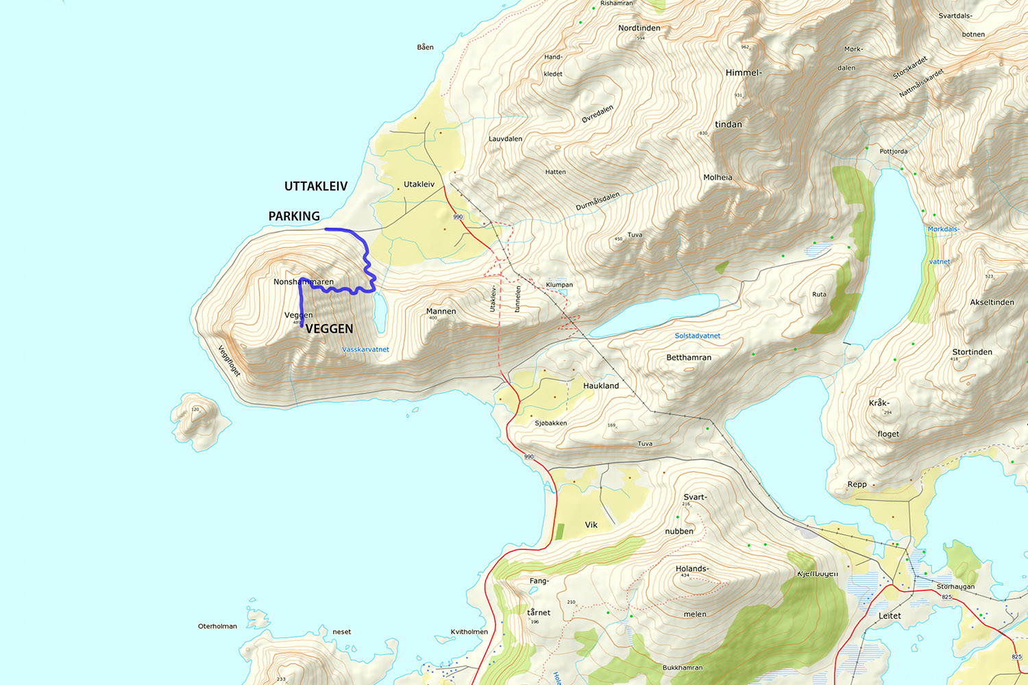
Veggen is located next to the beach parking at Uttakleiv.
From Leknes take the E10 4km east to Leiteveien, signposted to Uttakleiv. Turn left here.
Follow the road as it wraps around the coastline, passing Vik and Haukland beaches before entering the tunnel to Uttakleiv. After the tunnel, take the left turn onto the dirt road and continue to the parking at the end of the road.
The trail begins before the newly installed toilets, so it is better to park somewhere in the middle of the parking area.
Veggen is the large mountain rising above the parking lot.
From where you parked, walk back a short ways on the road to the sandy farm track on the right.
The Trail
Leaving the road and entering the sandy farm track, a single trail will soon appear on the right. Take this, as it leads you up the rocky slope to the small pass between Mannen (on the left) and Veggen (on the right). As you begin to ascend, there are some moderately muddy switchbacks and a few rocks steps here and there, but nothing overly difficult.
Reaching the top of the pass and the shore of lake Vasskarvatnet, take the worn trail to the right, leading up the right side of Veggen. The ascent is unrelenting, but otherwise straightforward as you climb and climb, before finally mellowing at around 400 meters as you near the northern end of the mountain. From here, you have the best views over Uttakleiv.
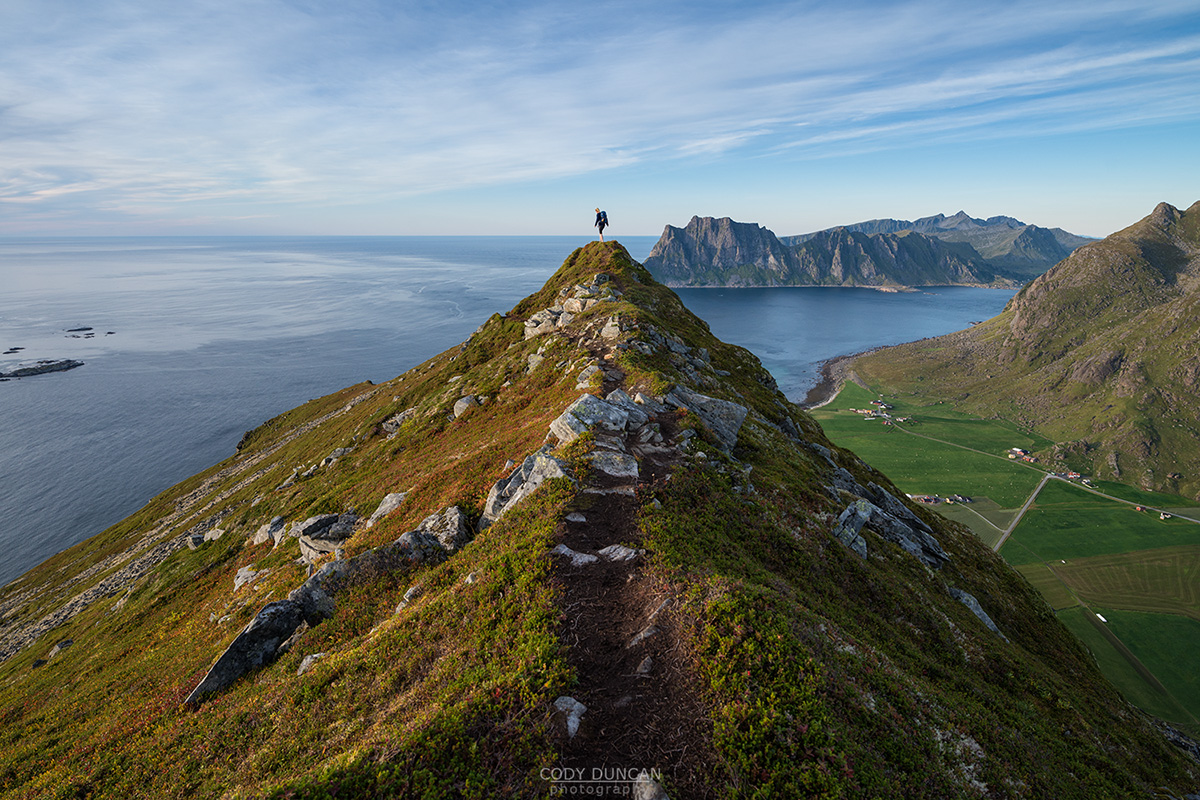
The trail now takes you south along the summit ridge for a gradual ascent, though with a few rock steps, to the summit of Veggen.
Camping
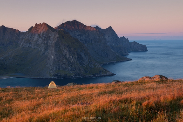
There are some possible camping areas on the northern side of the mountain.
No water available.

