REINEBRINGEN HIKING GUIDE
Reine, Moskenesøy
448 meters
1 km
Easy - Stone Stairway
1 hour
Spring 2022 Update: The construction of the Sherpa trail was finished in the late summer of 2021 and the mountain is open.
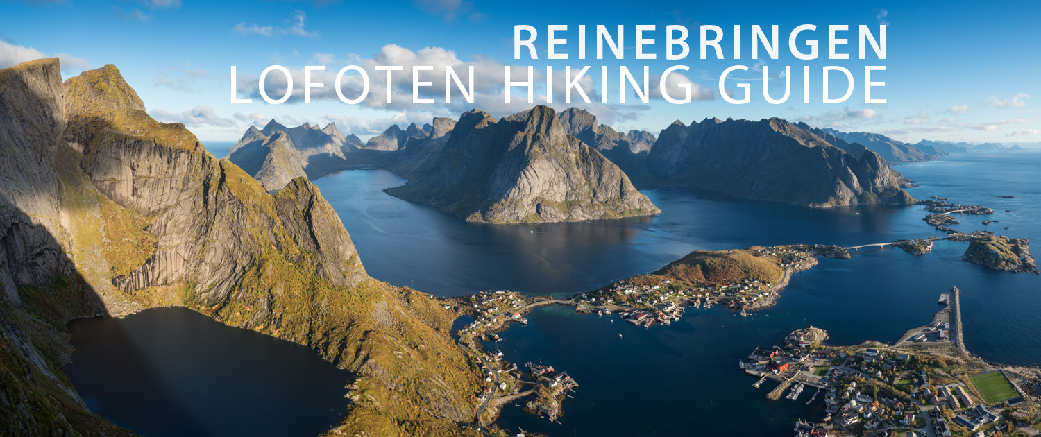
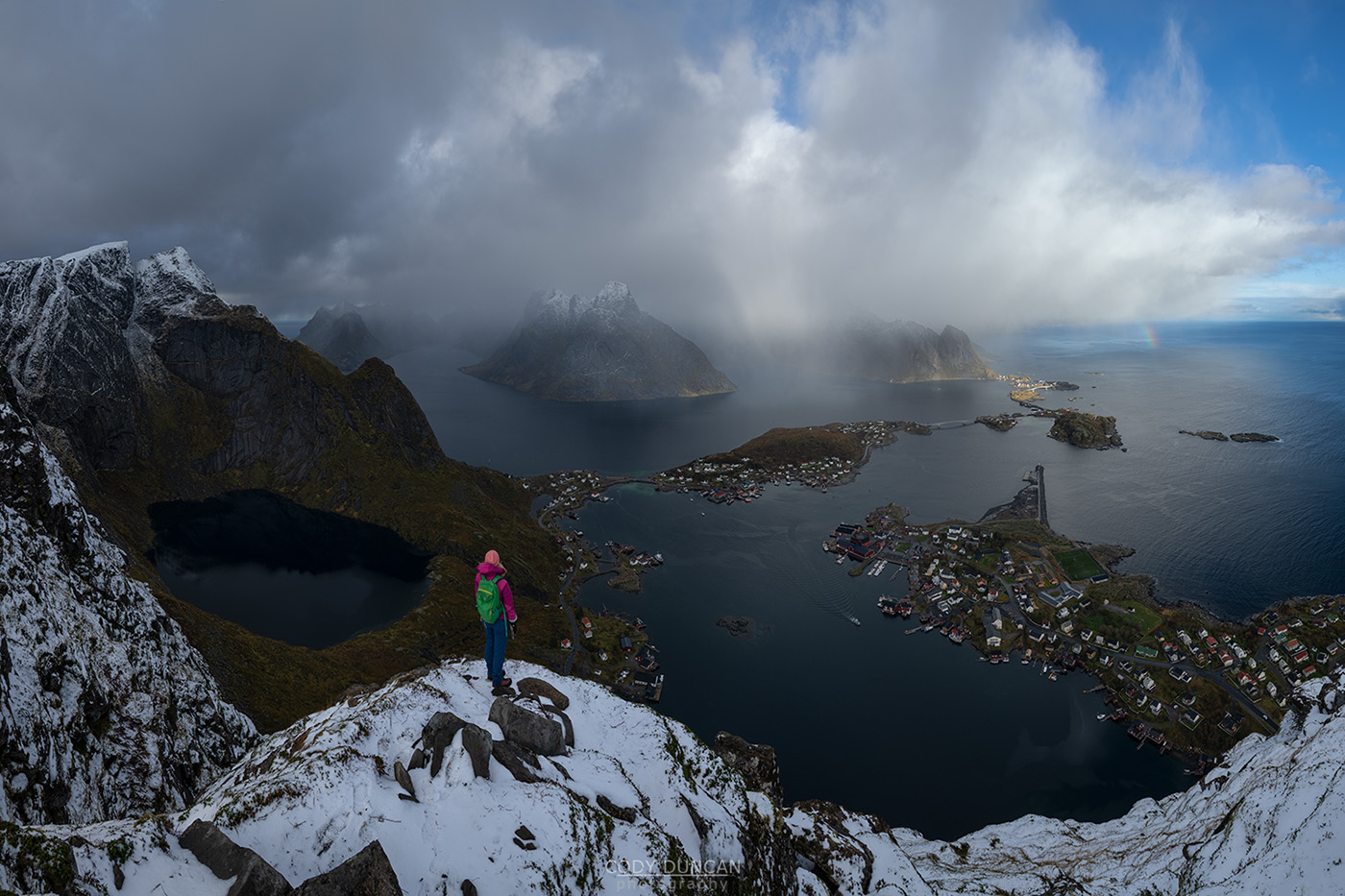
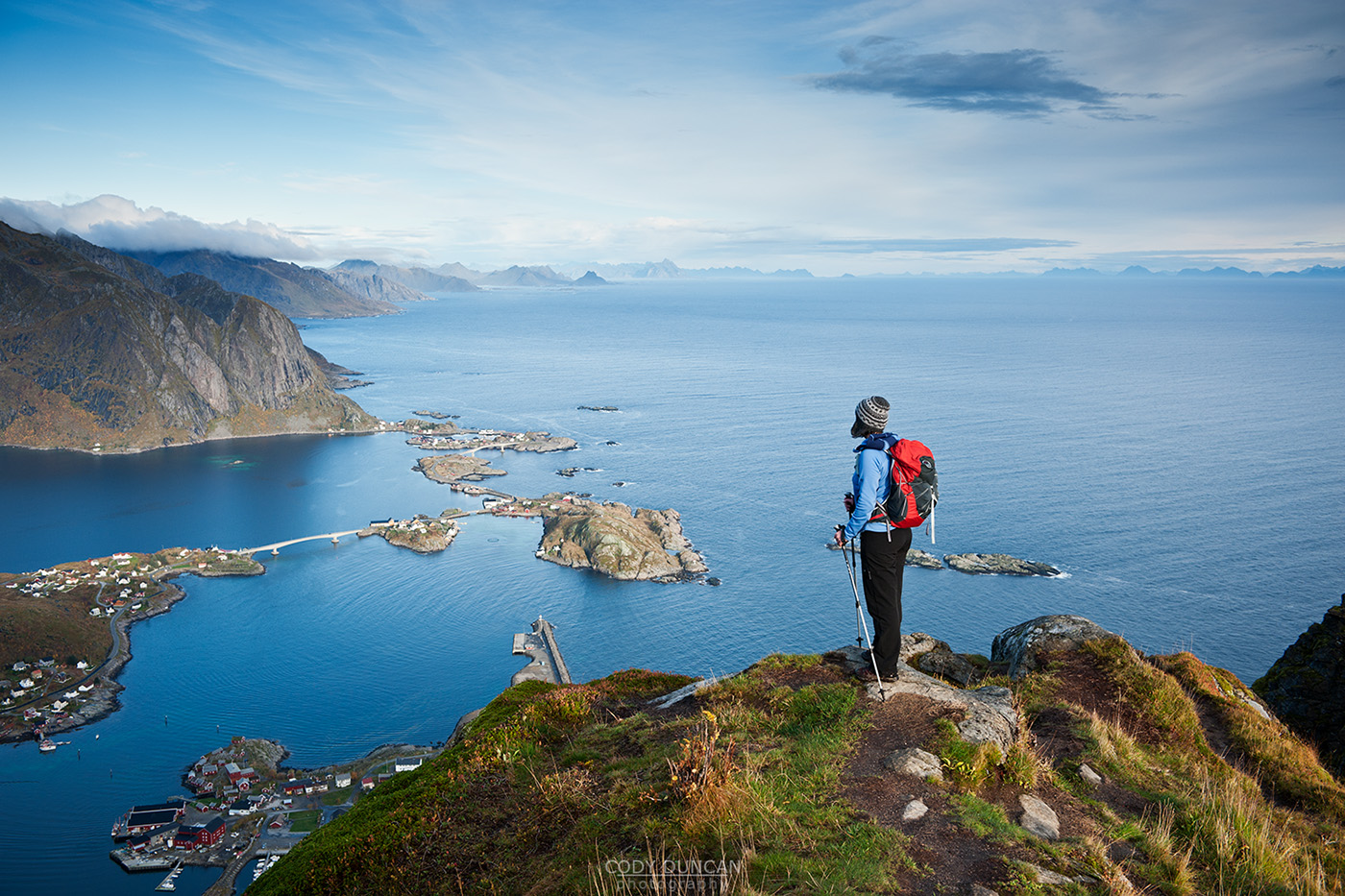
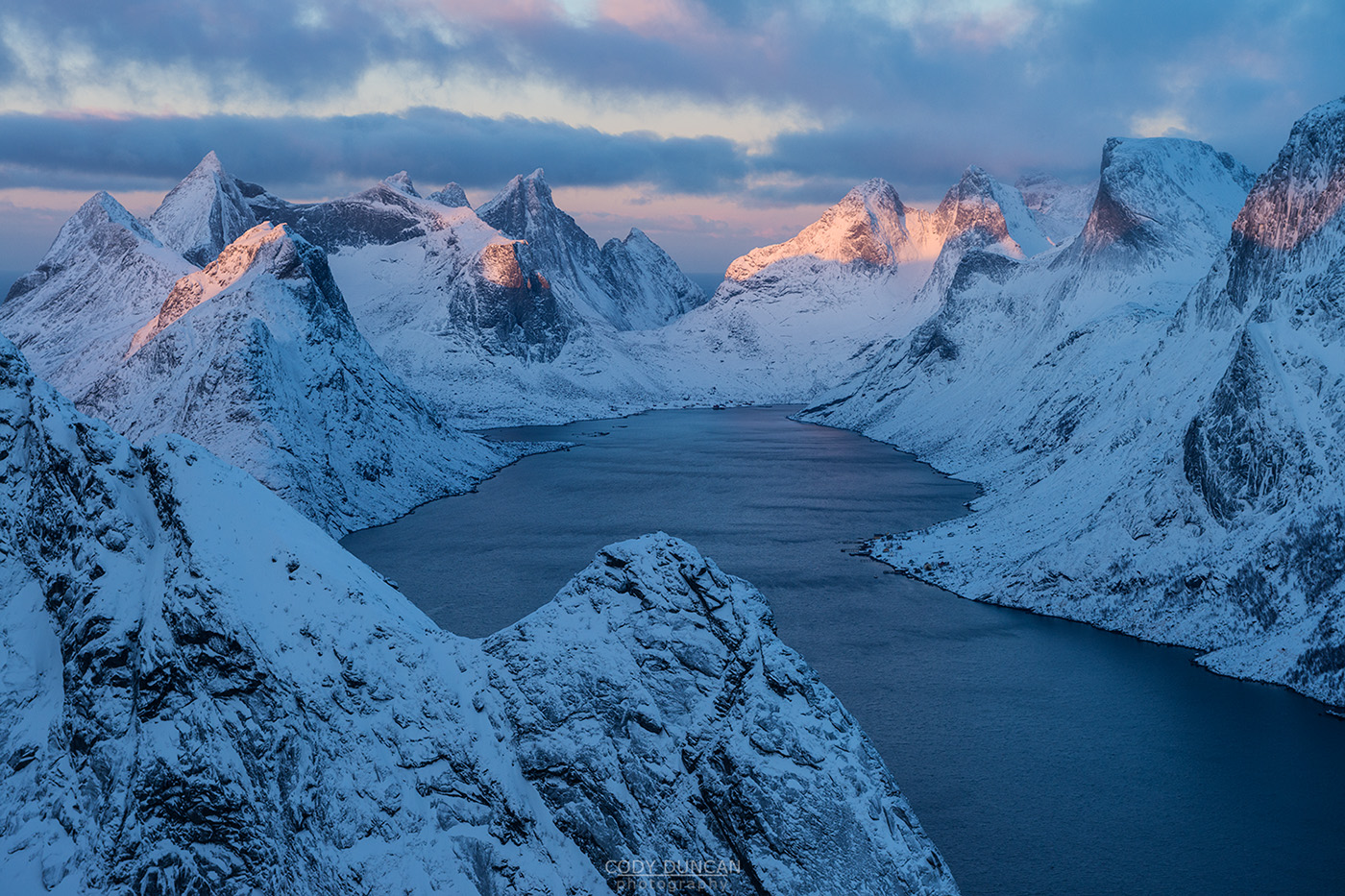
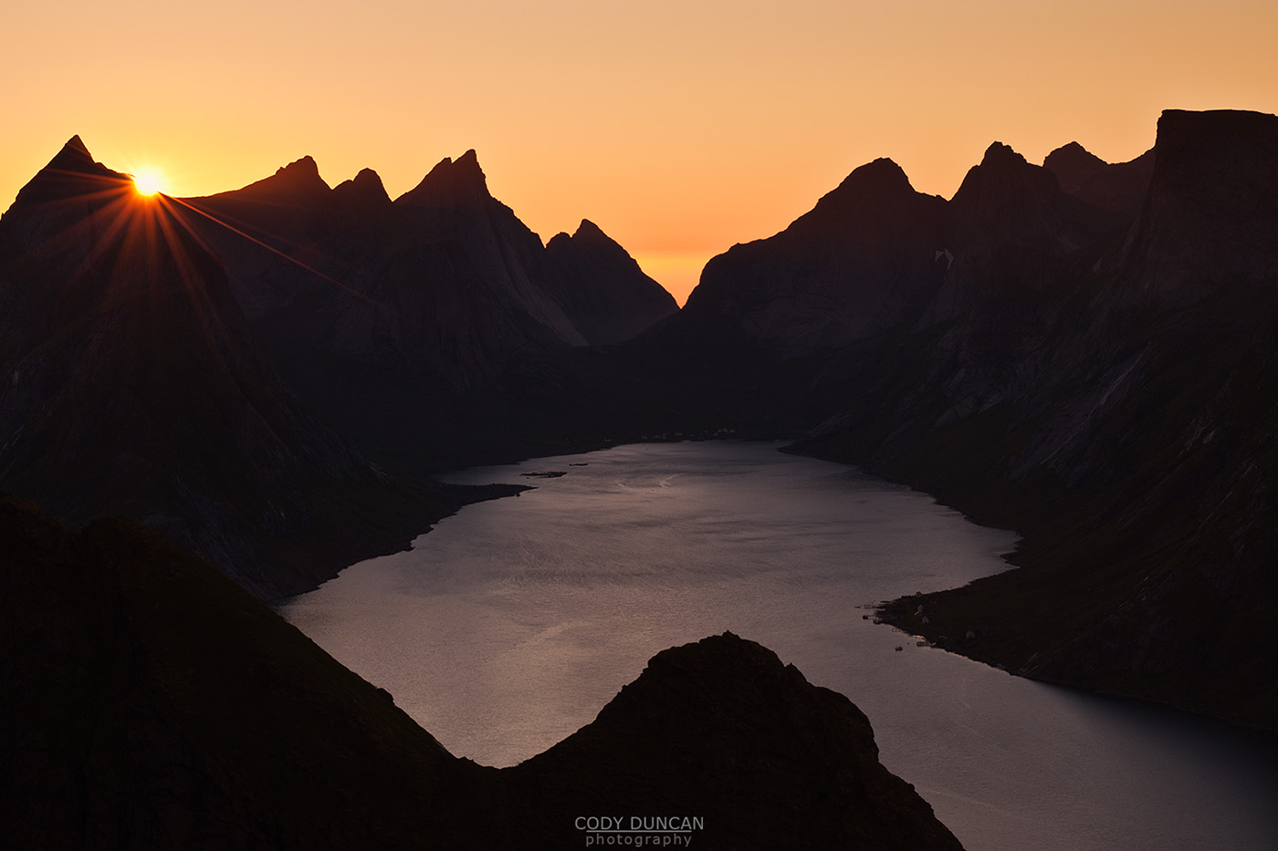
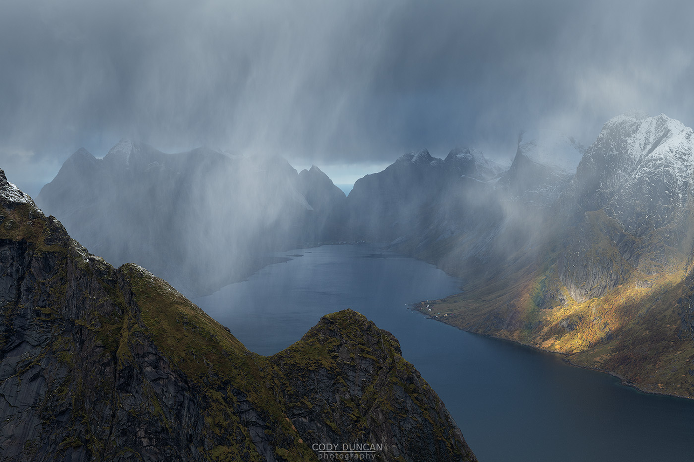
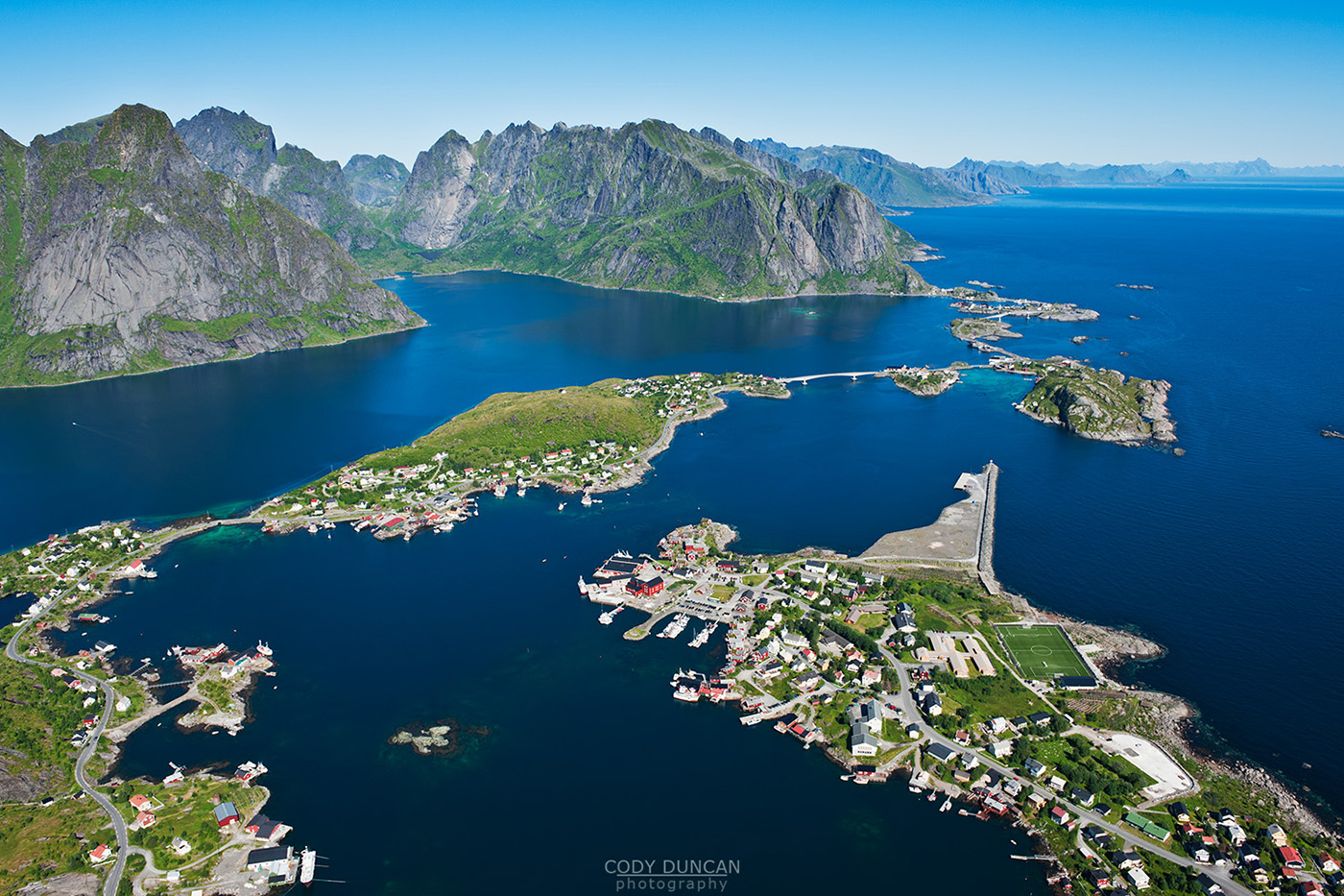
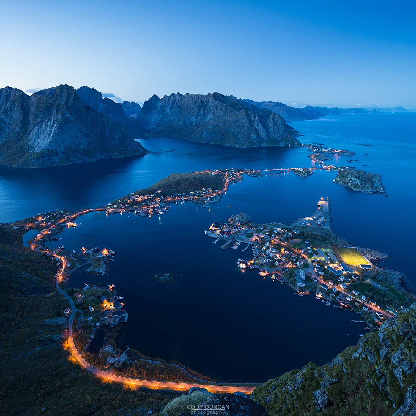
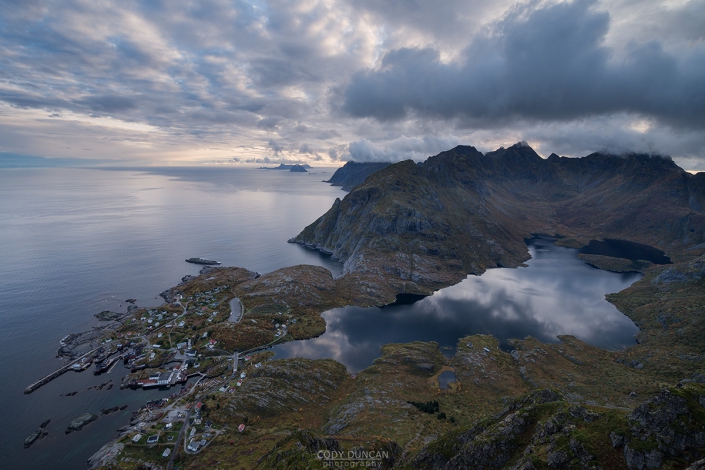
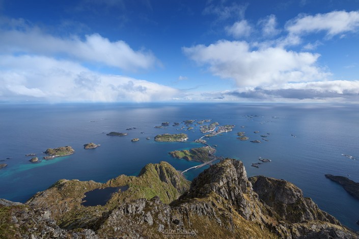
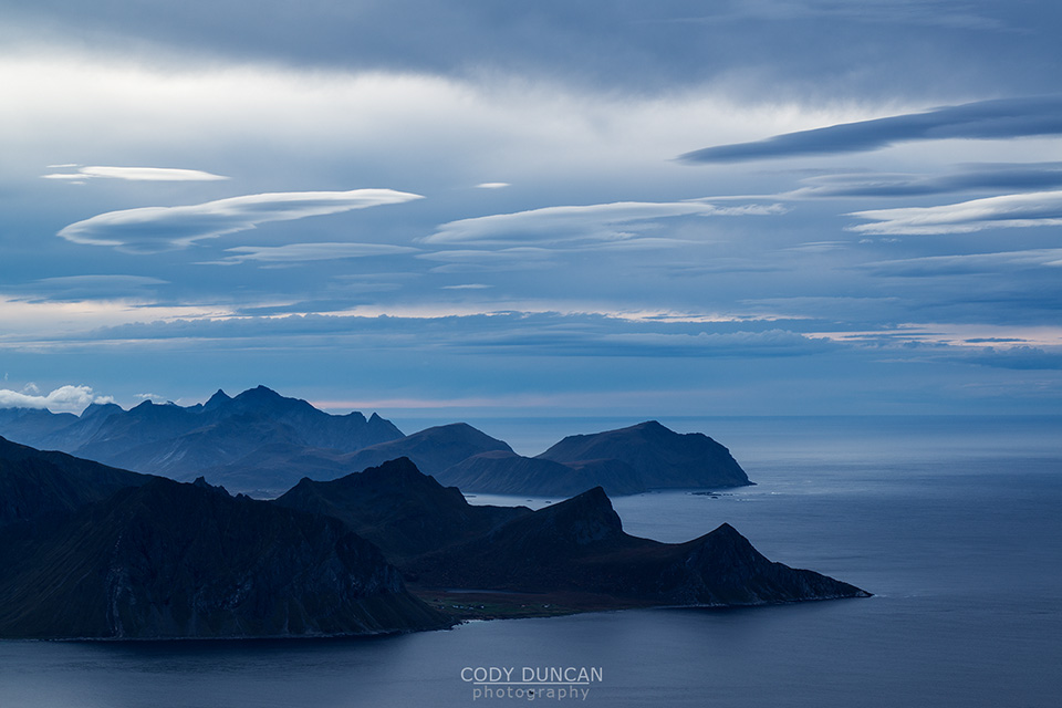
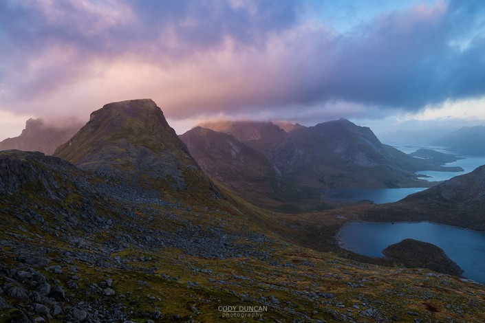
At a modest 448 meters high, Reinebringen is far from one of the highest peaks on the Lofoten islands. Yet this is more than made up for by the iconic view from the summit. The view, combined with the easy access from Reine and a constant flow of images on social media means that Reinebringen is one of the most popular hikes on Lofoten, with hundreds of people making the ascent each day during the summer season.
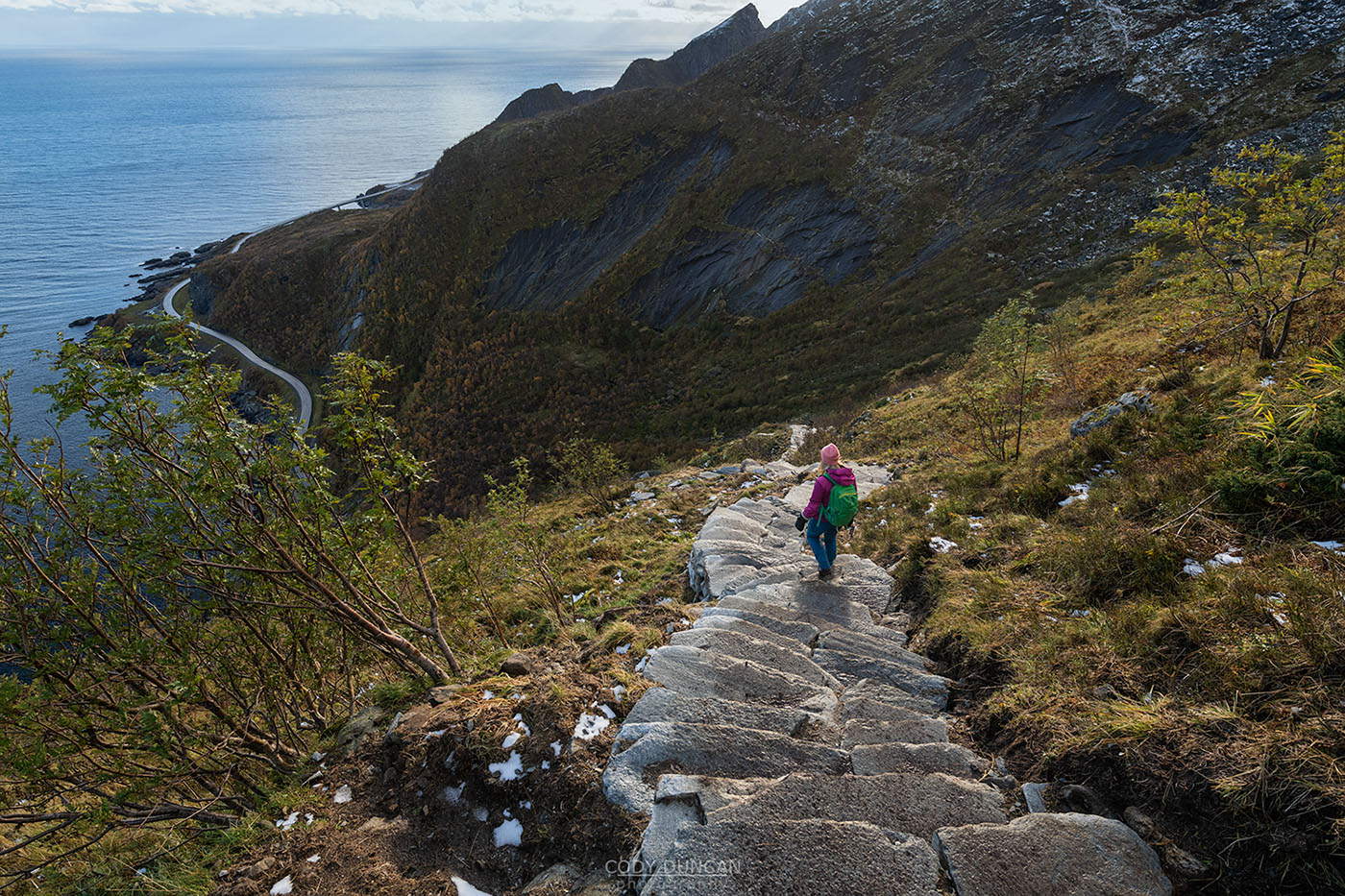
In 2016 construction on a stone stairway on the mountain was started due to the increased erosion and danger of rockfall from the high amount of visitation. The Sherpa stairway was finished in late summer 2021, now ascending fully to the summit ridge.
Note, the steps are actually quite physically demanding, and the repetitive motion of step after step is more strenuous than regular hiking trails, even steep ones. So if you are not a regularly active person, I would warm up on a few easier hikes before visiting Reinebringen.
For up to date information, follow: Reinebringen Facebook Page
Getting There
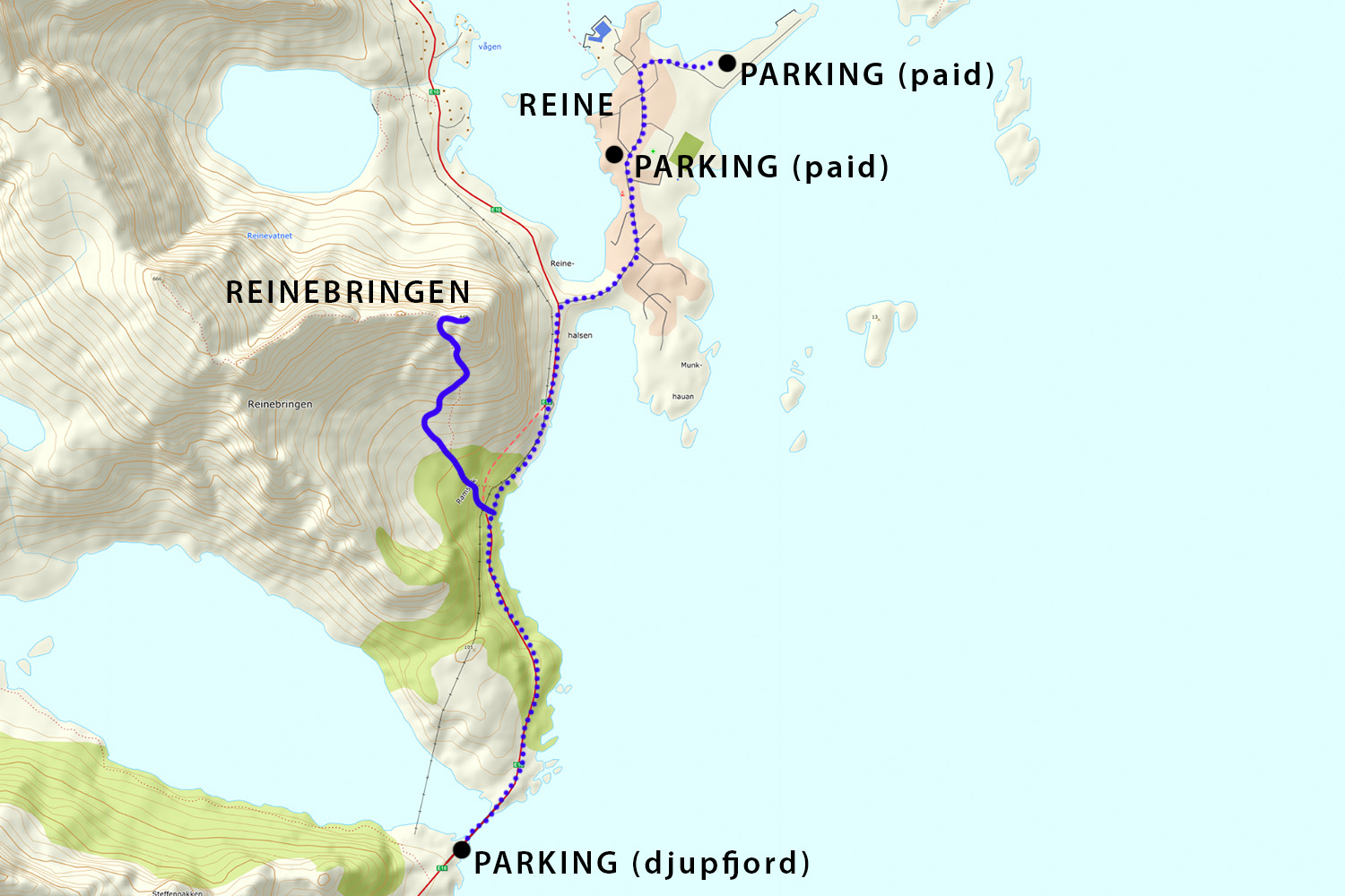
Reinebringen is located immediately west of the village or Reine, with the stairway beginning on the western side of Ramsvik tunnel, along the old road.
Parking as become a severe issue since the opening of the stairway in July 2019. Moskenes Kommune asks that you only park in the following areas:
Free: Djupfjord view point. Located along the E10, 1.3km west from the trailhead. This is the largest free parking in the area.
Paid: Ytre Havn, Reine. Located in the outer harbor in Reine, 1.8km from the trailhead. Follow the sign posted ‘P’ since after turning into Reine. New 2022 Fees: Parking in the outer harbor is 40 NOK/hr.
Paid: Reine Kultursenter. Located just before the center of Reine. 150 NOK/day
Note: The Reinehalsen viewpoint at the corner of the E10 and the turn into Reine also serves as a nearby parking area. However, this is intended to be a stopping point for a quick view over the harbor and not a parking lot or campground (No Camping signs have been added in July 2019). It is likely it will be full anyhow on any given summer day, but it is still asked that you don’t park here. Parking is limited to 4 hours.
The Trail
The stairway begins on the west side of Ramsviktunnel after following the old road around the outside of the tunnel.
Take the first step and then the next until you find yourself at the summit ridge.
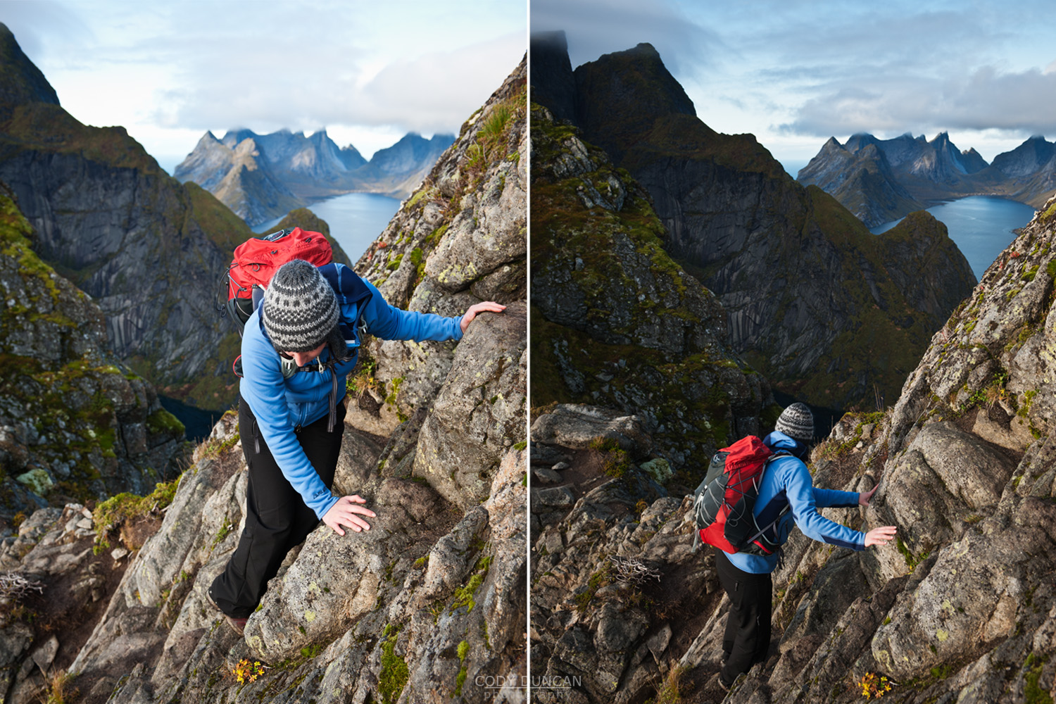
To reach the end of the ridge at the right, it a steep, muddy path just before reaching the summit. If it has been raining recently, then this will be slippery! Alternatively, once reaching the ridge, you can scramble over the slightly exported rocks on the right.
A word of caution: The new pathway passes below a series of steep rock slabs higher up the mountain. In winter this means the route is in an area of extreme avalanche risk – I have personally seen the steps completely covered in avalanche debris on several occasions. So do not be lured into a sense of complacency that this is now a ‘safe’ hike year round. Read my WINTER HIKING guide for more information about what to be prepared for.
Camping
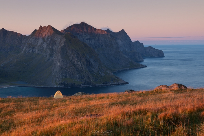
Update: June 2021: Camping is now forbidden on Reinebringen and new signs have been installed at the trailhead. The mountain has now come under the jurisdiction of specific regional outdoor regulations which overpower the otherwise existing Allemansretten of legal dispersed camping on undeveloped land. There were some (not very well publicised) meetings to determine this in the spring of 2021.
I will say, I do not understand the reason for the ban on camping, and as was written here previously, there is only place on the summit ridge for 2-3-4 tents per night at a maximum. It seems a few people camping were blamed for increased erosion, and not the 1000 people hiking the mountain per day in summer…

