HIMMELTINDAN HIKING GUIDE
Haukland, Vestvågøy
964 / 931 meters
3.5 km
Moderate/Hard
2-3 hours
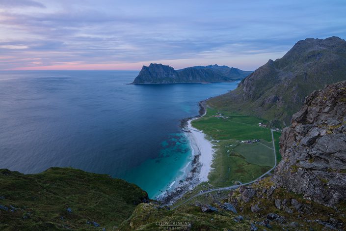
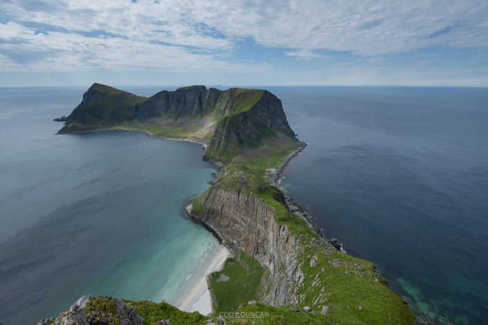
At a towering 964 meters, Himmeltindan is the highest mountain on the central Lofoten island of Vestvågøya. Steeply rising almost directly from the sea, Himmeltindan is of an impressive scale not always visible on Lofoten. The mountain itself actually consists of several separate summits and unfortunately, the highest summit is off limits for travel as it has been taken over by the military for a radar installation – there is actually a tunnel and elevator inside the mountain going to the summit. No, you can’t get a ride, I’ve tried.
This leaves the 931 meters of the south summit as your high point on the mountain; the next highest point on Vestvågøya. An unmarked, but well worn trail takes you to the summit. While the mountain is not technically difficult, the trail does become rather steep at times. I rate it as hard based upon the elevation gain required. There is also the possibility of some tricky navigation among the rocks along the summit ridge, as well as some exposure to steep cliffs. Save it for a day when the summit is free of clouds. You’ll want to enjoy the view anyhow…
Getting There
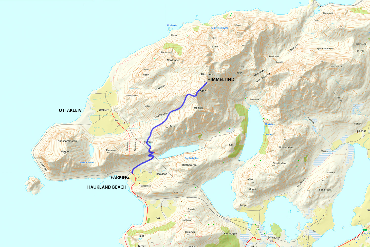
The best parking for Himmeltindan is located at Haukland beach, just before the tunnel to Utakleiv. 14 km from Leknes.
From Leknes drive east on the E10 towards Svolvær. After approximately 4 km turn left at the sign for Utakleiv. Continue along the road, following the signs (you can also take a shortcut, signposted ‘Vikvein’). Park in the large parking area near road at Haukland beach (before entering the tunnel to Utakleiv).
The Trail
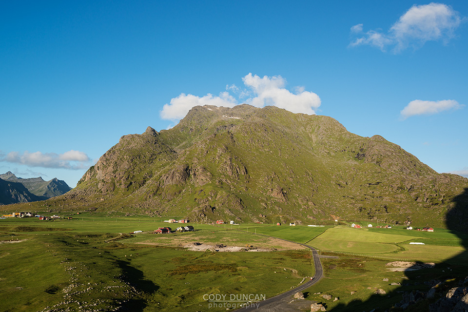
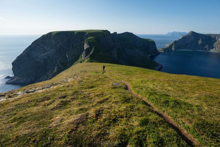
From the parking area, look towards the mountain. Follow the small paved road across the street that heads towards the mountains. After approximately 600 meters of walking along the road, look to the left and take the old, worn path that leads up towards the mountain pass. At the top of the small pass, the trail flattens. Keep walking in the direction of Utakleiv. After passing the second small pond, start looking for a faint trail on the right – there are several small rock cairns to help mark the start, but the grass may be a bit overgrown. Take the trail in the direction of the mountain.
The trail remains narrow as it leaves the initially flat and boggy ground and begins to gain elevation. Keep following it higher and higher. There are no markings, but it is generally clear and easy to follow. After an hour or so ascending the steep gully, at an elevation of around 800 meters, you will come to a small flat area as the trail prepares to traverse around the ridge. From here you should be able to see the summit(s) for the first time. The north summit with the radar tower will be straight/left, while the south summit (where you are going) will be more towards the right.
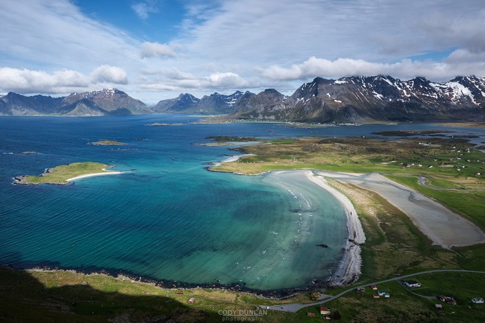
There are two possible ways now. I suggest looking towards the right for a trail which keeps you on the same side of the ridge where you have been so far and takes you up to another small high point before heading north to the summit. Otherwise, you can continue straight (over the ridge) and follow the trail up a steep, loose gully directly towards the south summit. Near the summit ridge, the trail fades at a few points, just keep going up whichever way seems easiest. The summit is marked with a large cairn. Enjoy the view!

