MÅHORNET HIKING GUIDE
Nordland, Værøy
439 meters
8.2 km
Difficult
4 Hours to Top
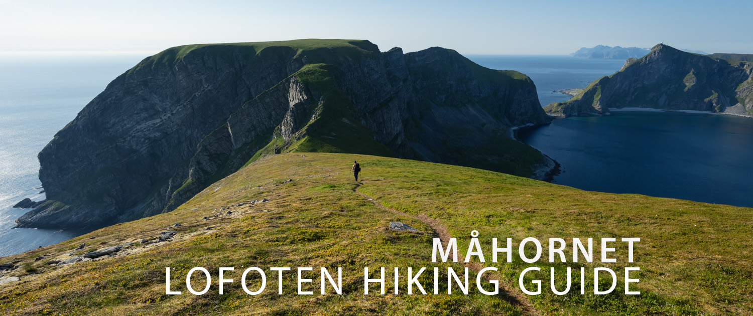
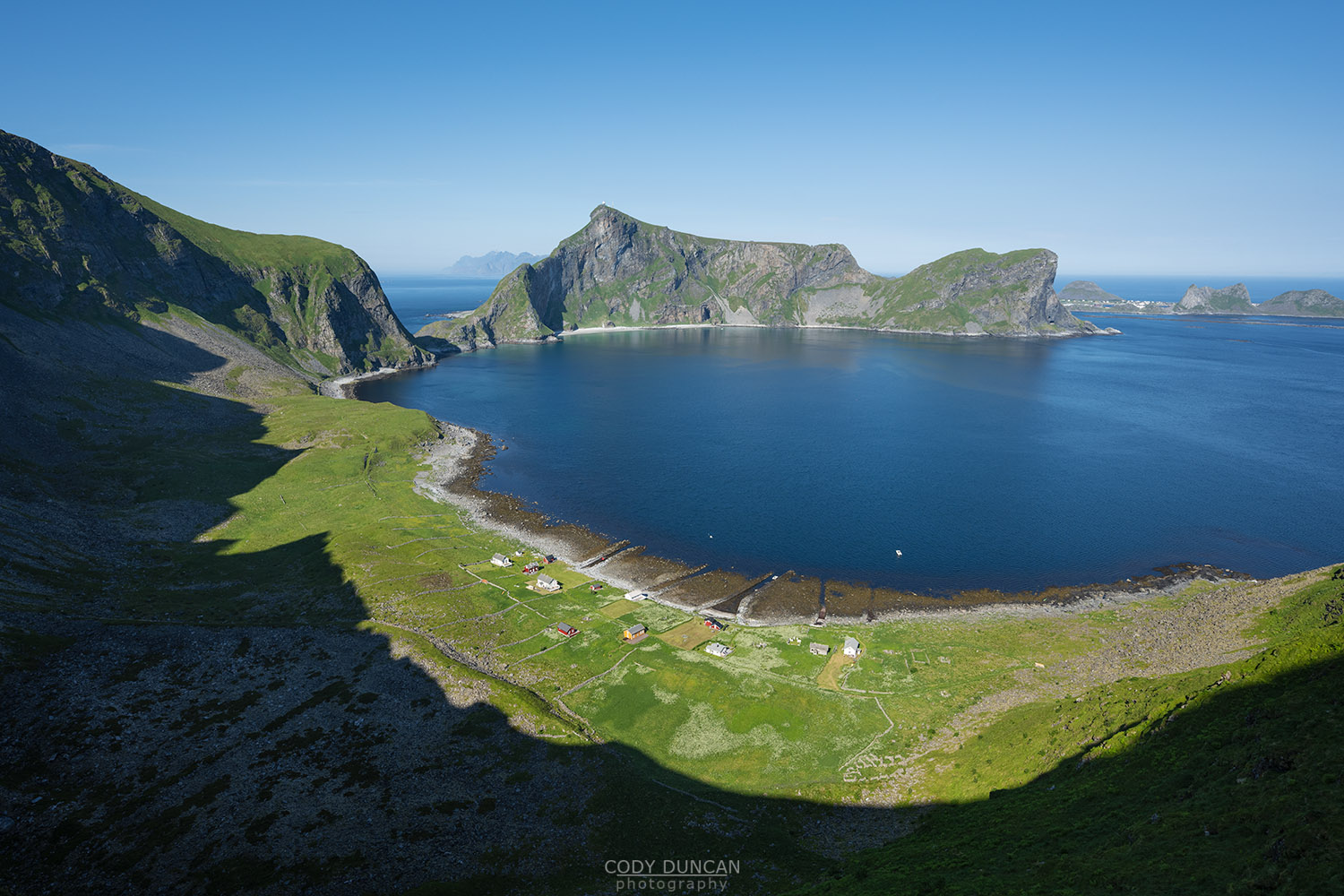
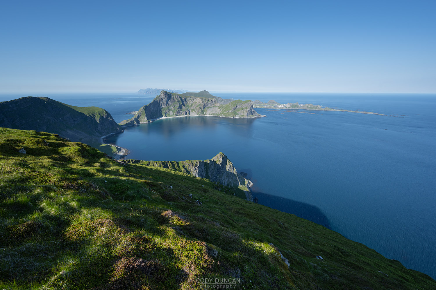
Måhornet rises 439 meters over the furthest southwest corner of Værøy. Reaching the summit is a long (by Lofoten standards), adventurous hike across varied coastal terrain, below scenic cliffs, though the (now abandoned) village of Måstad, before the final intimidating looking climb up old puffin hunter paths to the summit. Though the Måhornet is only of modest elevation and the only major ascent is at the end, the long, undulating route along steep and rocky coastal cliffs should not be underestimated.
Getting there
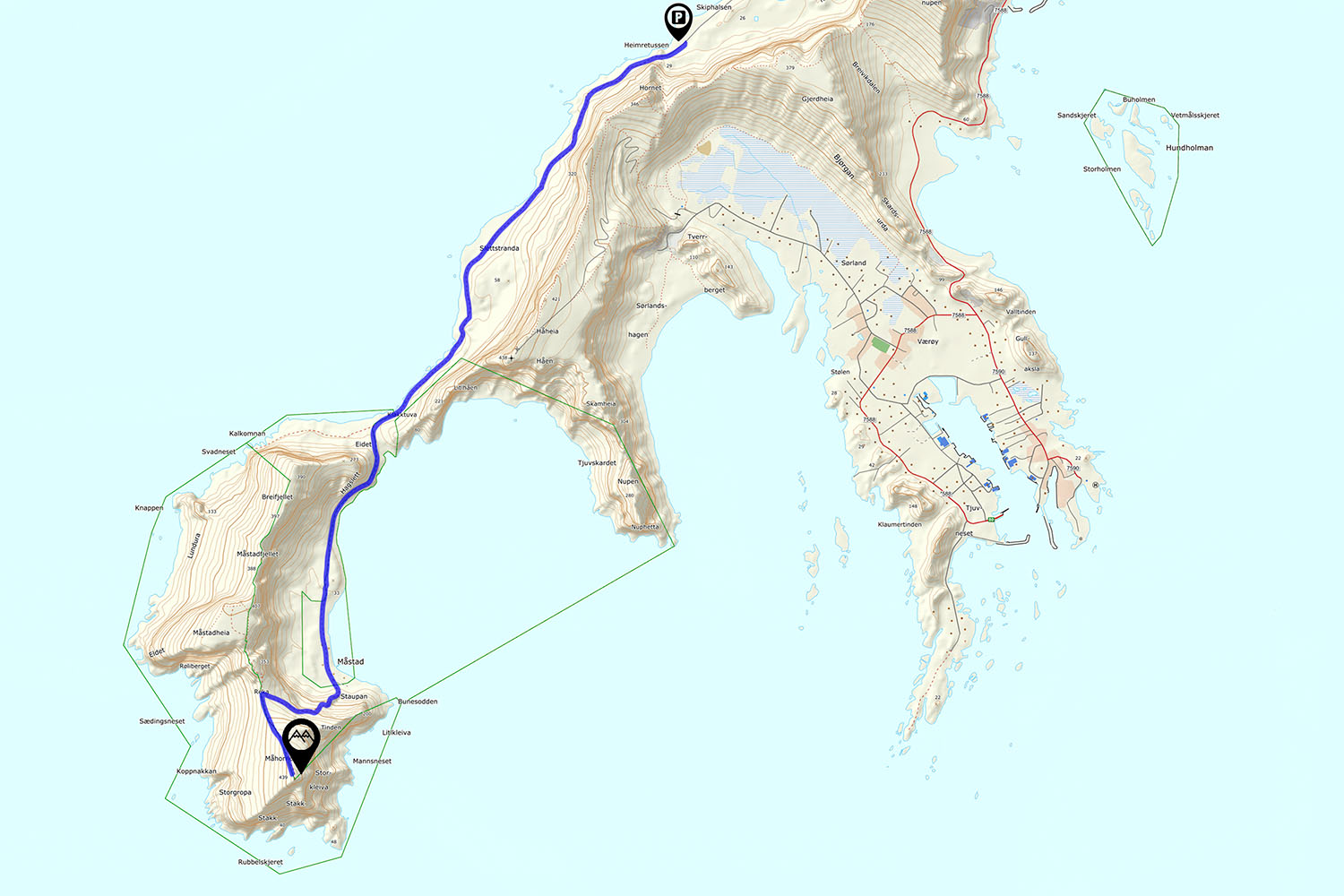
The parking is located at the service building at the end of the road in Nordland, on the far northern side of Værøy.
The service building has toilets and water, and trash bins.
If the parking is full, it is also possible to park on the runway of the abandoned airport, just a few hundred meters back along the road.
The Trail
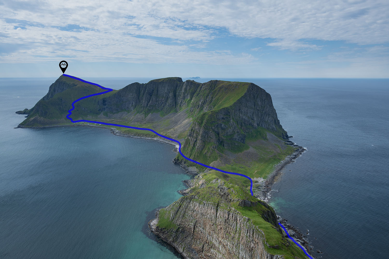
The trail begins at the service building. Take the old farm track past the building and towards the cliffs. After a few hundred meters the wide track turns into a narrow hillside trail, winding its way up and down the meandering terrain; the sea to your right and rising cliffs to the left. Finally, after nearly 2 kilometers the trail descends down onto a rocky section of coastline.
Continue along the rocky shoreline, following the rock cairns and red painted rocks to keep you roughly on track. After several hundred meters the route leave the rocks and climbs onto a flat grassy area. Continue along the trail.
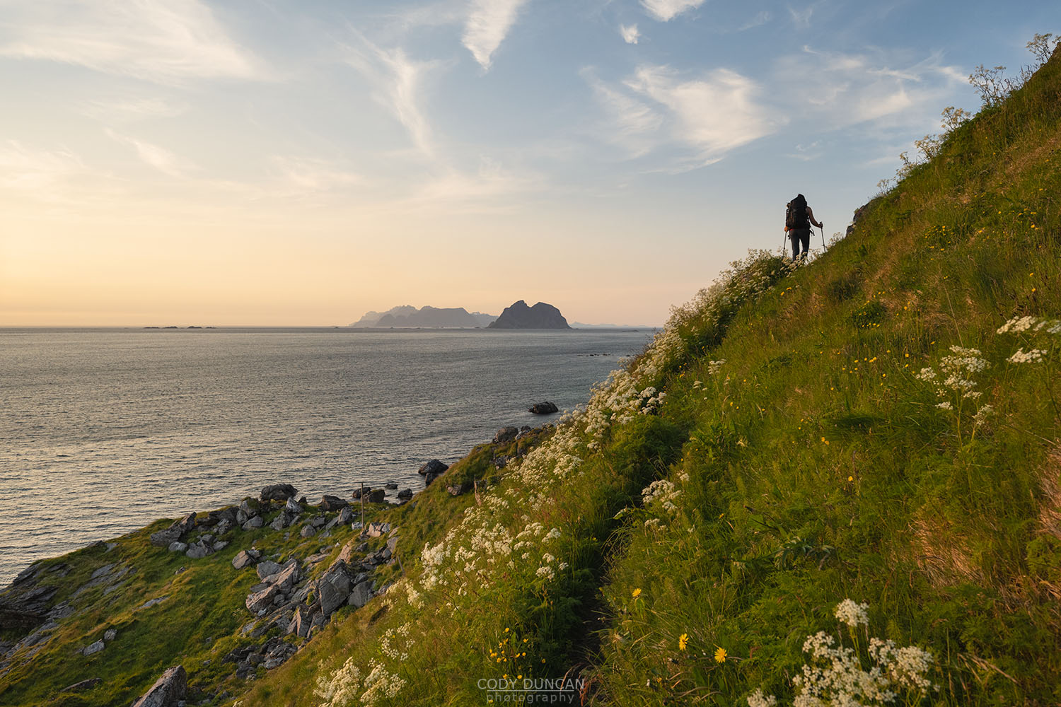
After several hundred meters of mostly easy walking, the trail will once again enter a narrow section of cliffs, briefly drop down to the coast, before return to an rocky and winding hillside, with several large rock steps here and there. This terrain continues for several kilometres until reaching a section of the old farm track just before crossing from the north to the south side of the island over a low pass.
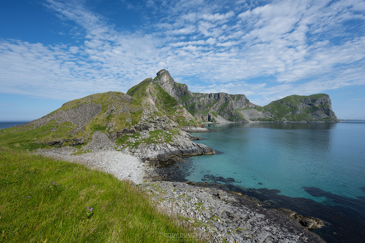
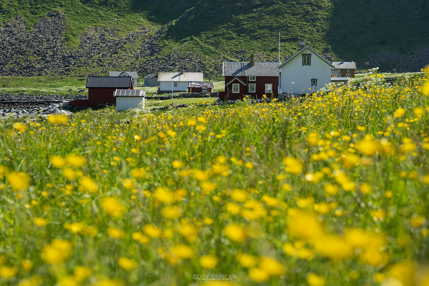
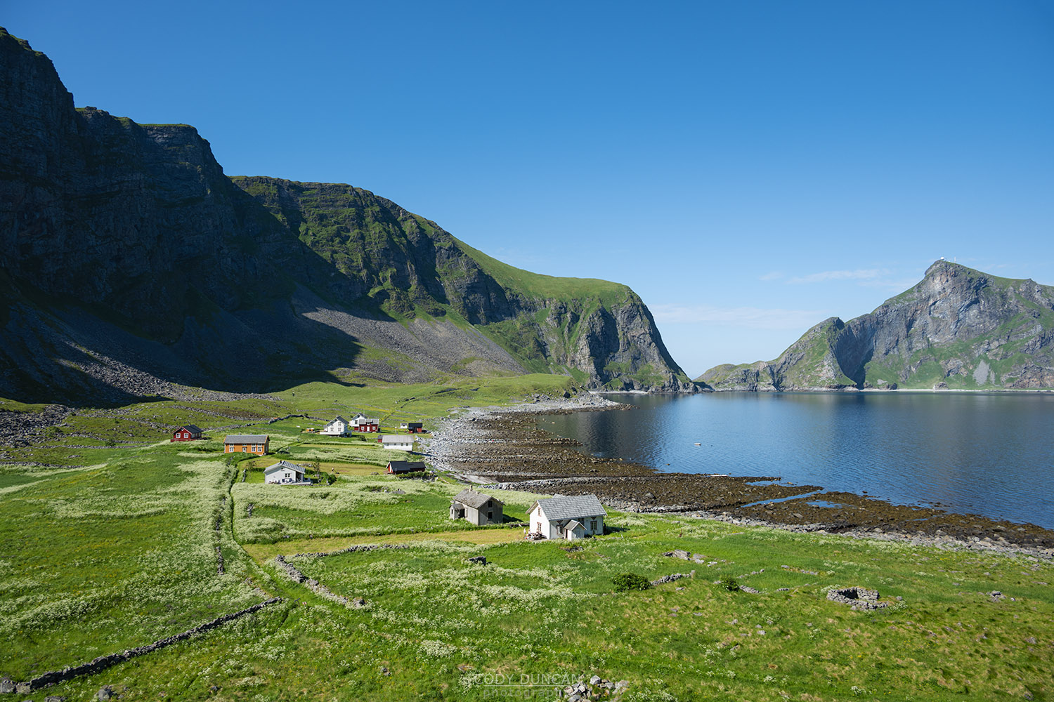
On the farm tack, and just over 4 km from the parking lot, the trail passes onto the south side of the island and you can finally see Måhornet rising is the distance. The hiking is easy over the following kilometres as you head towards, and pass through, the village of Måhorn, which now only consists of summer houses since the residents were forced to leave during Norway’s centralisation of small villages in the 1950’s.
Passing through the village, you can see the trail climbing up and traversing the steep hillside ahead of you. From this vantage, it appears almost imposingly steep and narrow. But as you will soon find out, it is much wider and easier than this first appearance.
After passing the last house of the village, the trail climbs the steep ridge to the right.
Water: before beginning the final ascent, you can collect water from the water pump just 50 meters ahead on the village track. This is the only source of water on the whole route.
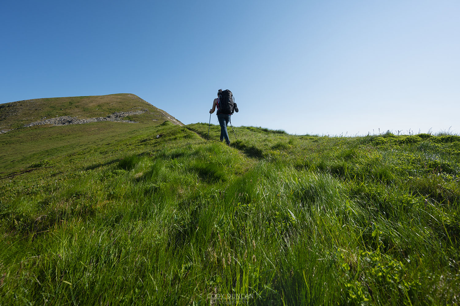
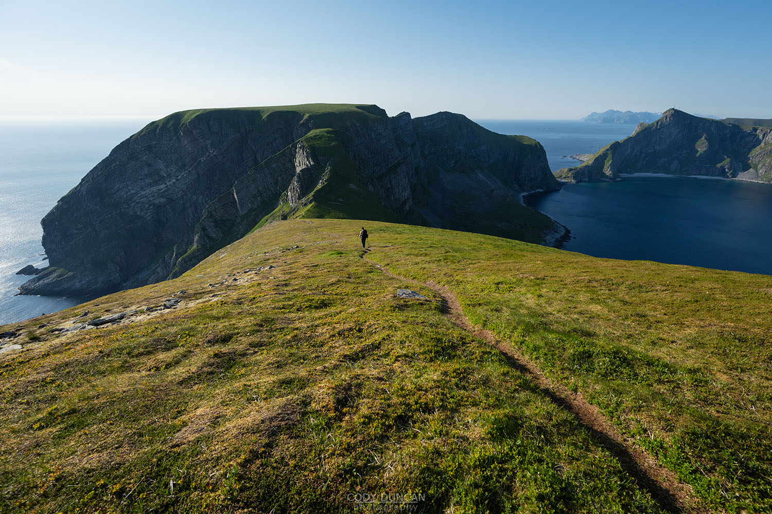
The trail, winding its way up the steep ridline was previously used by generations of villages on their way to collect puffins from the cliffs on the far side of the mountain. So even though the route today does not receive many visitors, it is in surprisingly good condition and a relatively straightforward ascent like anywhere else in Lofoten. After most of the ascent is over, the trail traverses along the hillside to the pass between Måhornet and Måheia at 270 meters elevation.
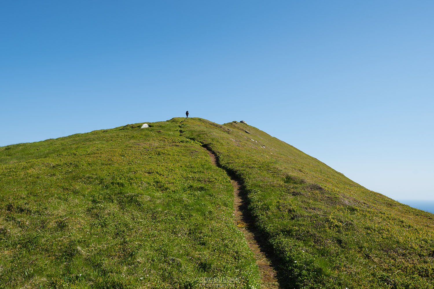
From the pass, head south along the nice single track trail for an easy 180 meters more ascent until finally reaching the summit.
Camping
The summit contains several decently flat location for a tent, as well as further down towards the pass.
There are additionally multiple nice camping spots along the entirety of the route at regular intervals, particularly in the area crossing from the north to south side.
The only water along the route is at the water pump, on the far (southern) end of Måstad village.

