STORKNUBBEN HIKING GUIDE
Jenndalen, Gimsøy
601 meters
2.7 km
Easy/Moderate
1.5 - 2 Hours to Top
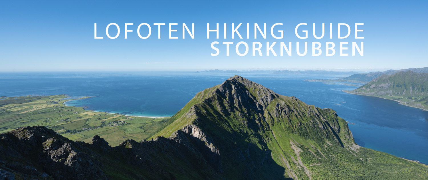
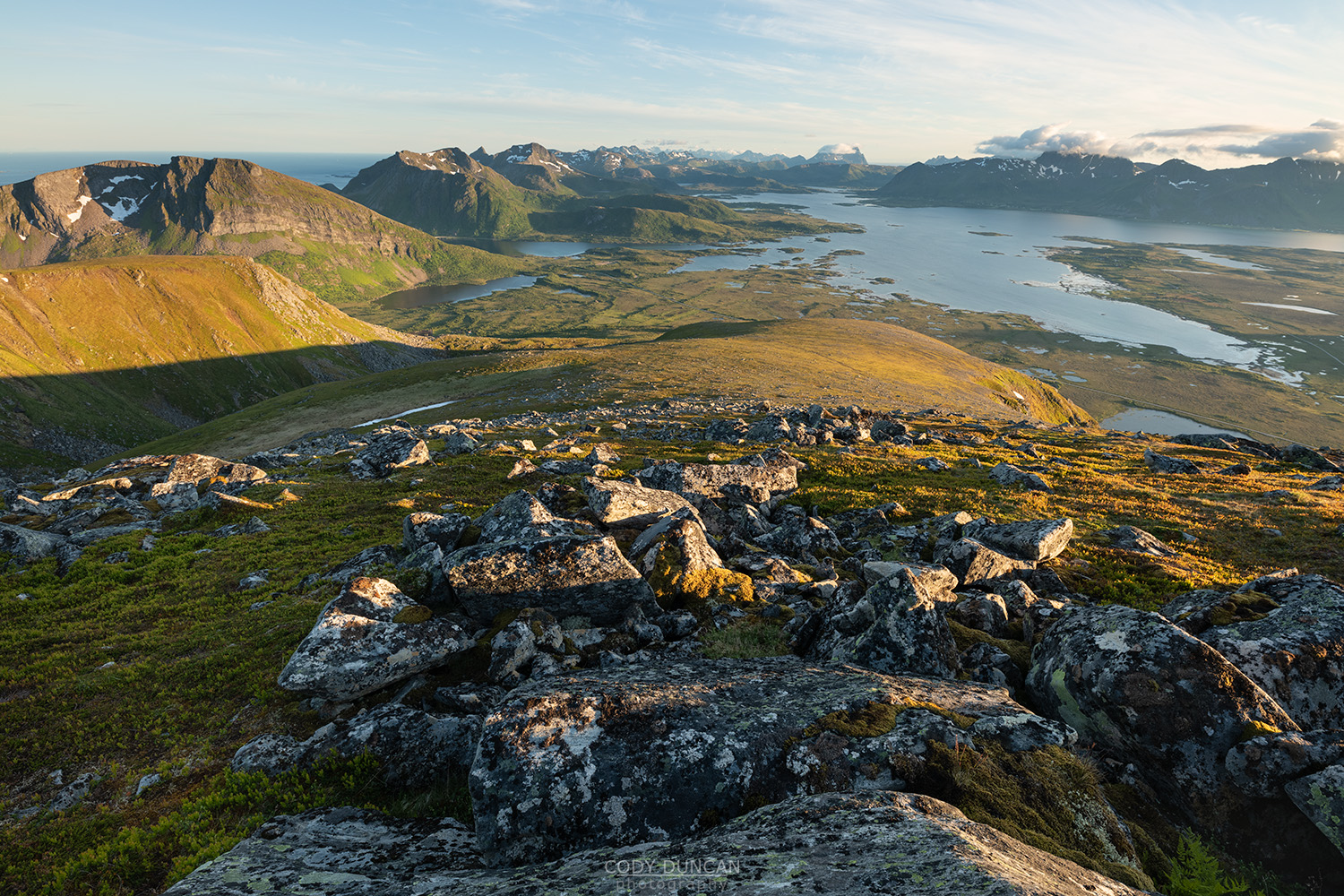
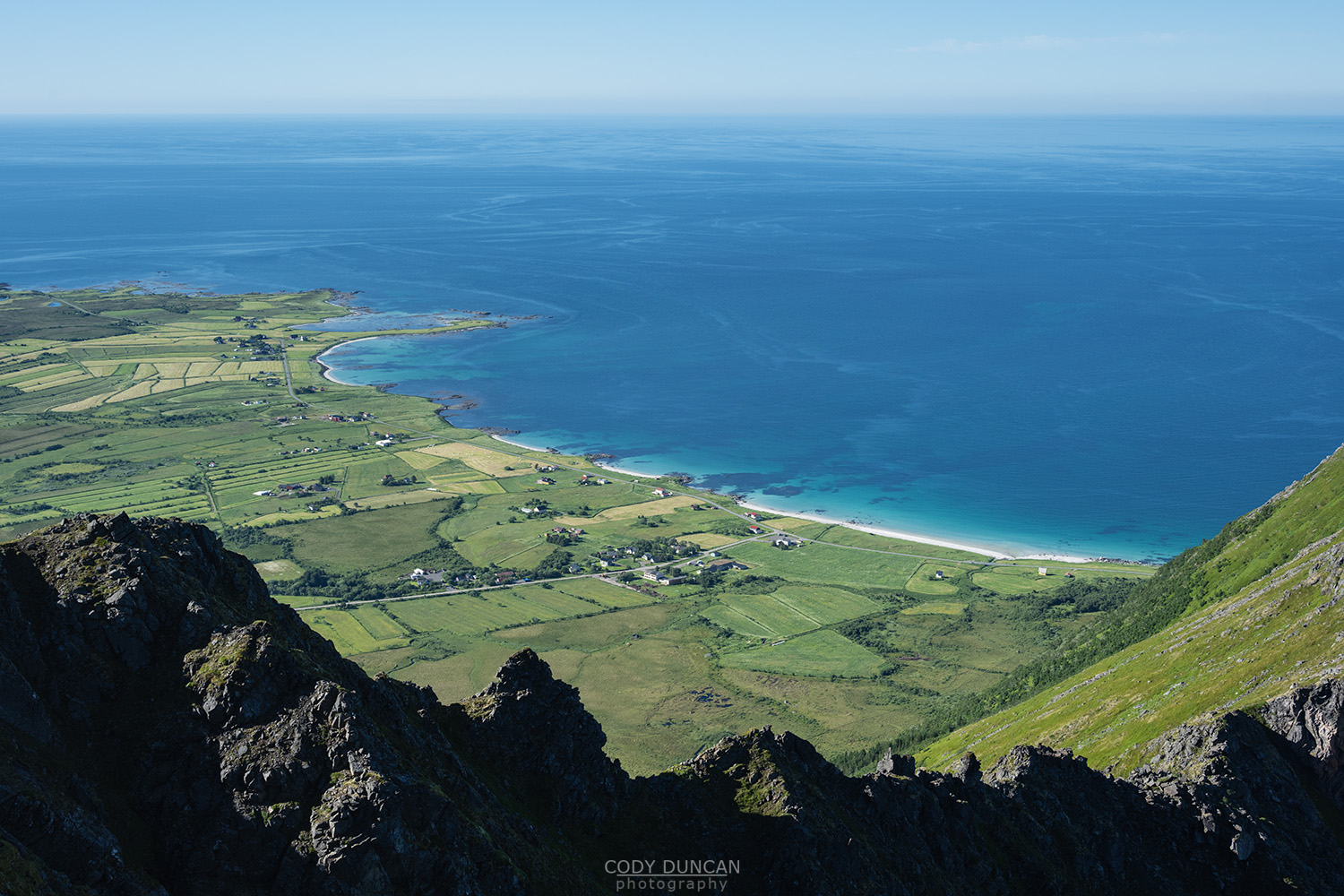
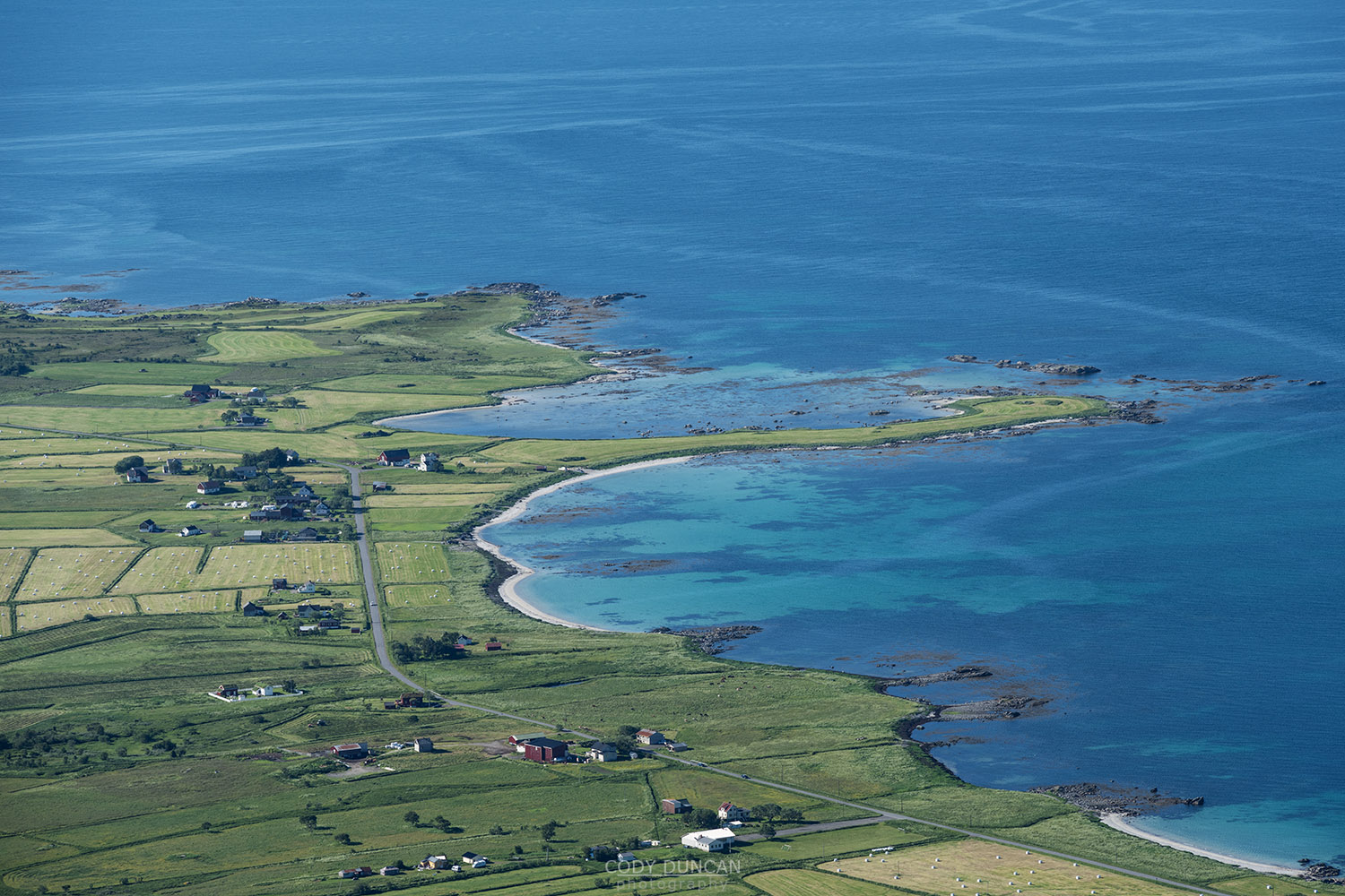
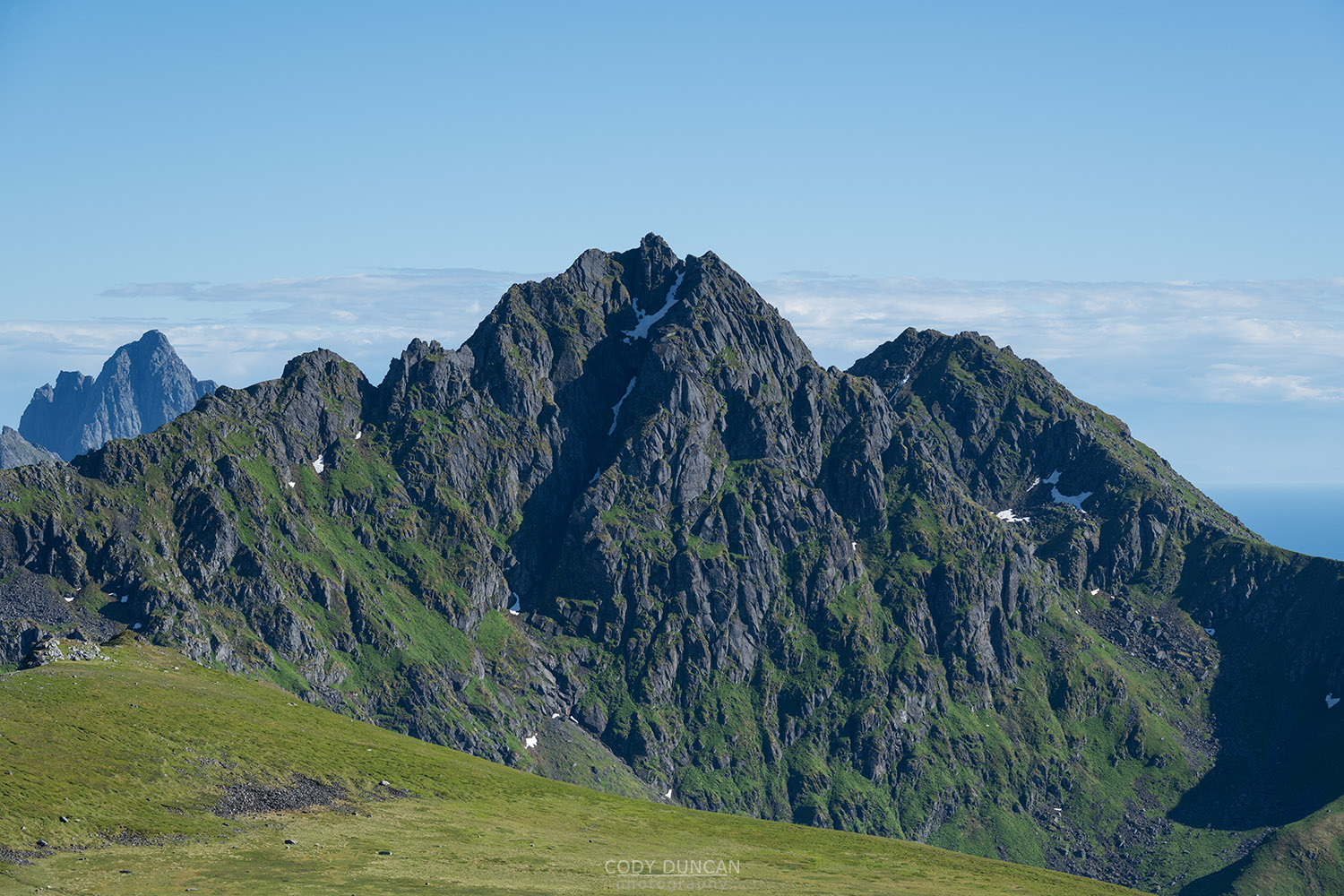
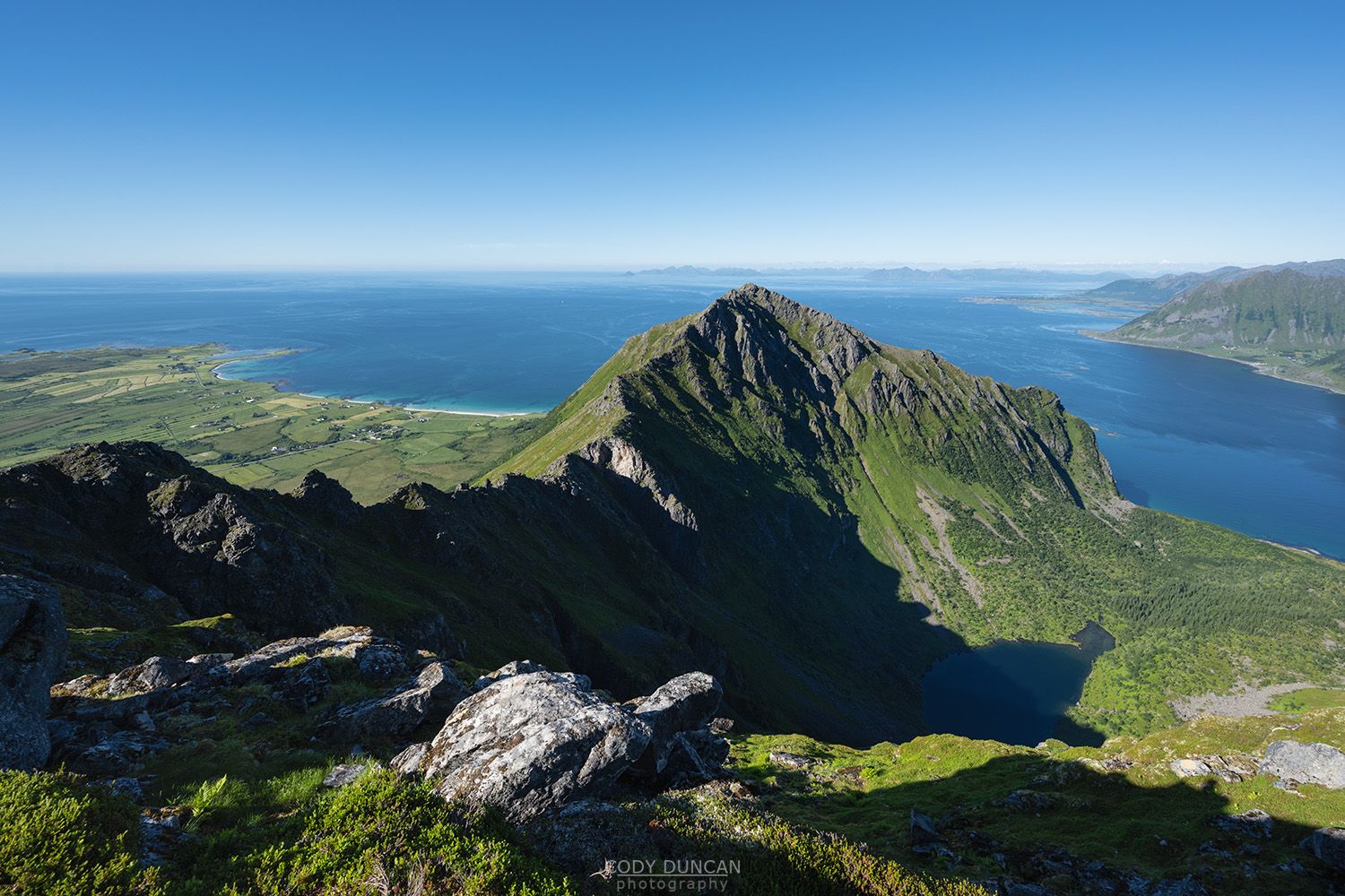
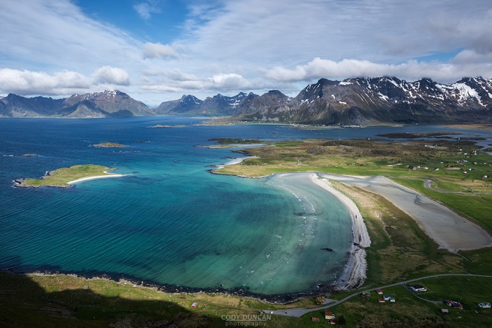
Storknubben, also known as Nordheia, is a broad and sloping peak located in central Gimsøy. The easy to moderate route is a popular weekend hike for the locals, looking to escape other more popular and crowded areas of Lofoten. While the view is not overly spectacular by Lofoten standards, the 360˚ views over Gimsøy are still worth the hike.
Getting There
Storknubben is located on the island of Gimsøy.
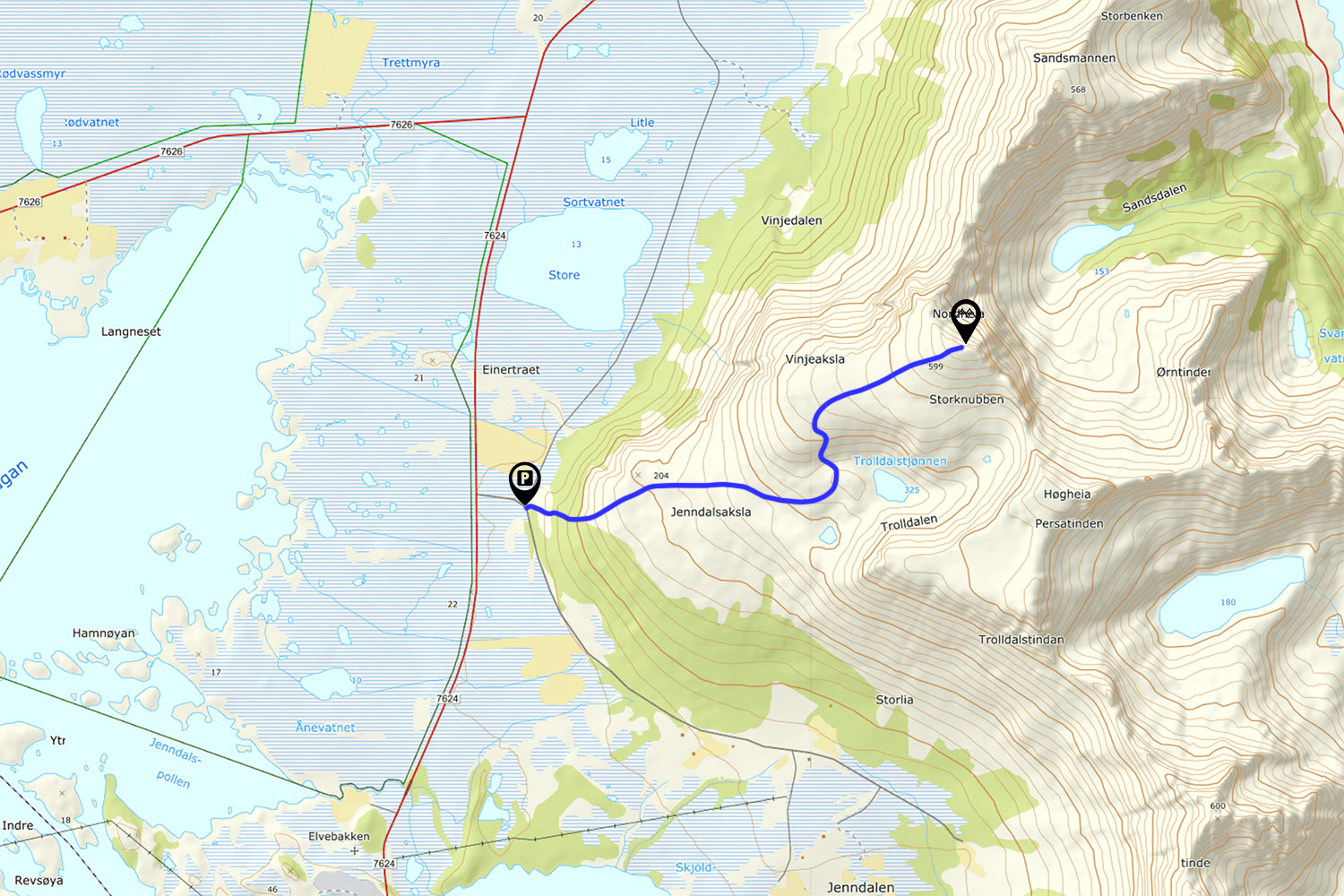
From either east of west Lofoten, travel in the direction of Gimsøy. Turn north from the E10 of Fv861, located on the western side of Gimsøy at Sundklakkbrua. Drive north for 3.4 kilometres. Turn right onto the road marked Jenndalen.
150 meters up the road, it makes a sharp right turn. Park here on the obvious pullouts on the side of the road – do not block to gated entrance to the farm field. If this area is full, there is another larger pullout another 100 meters down the road.
The Trail
From the roadside parking, walk up the farm track and through the gate on the right. The trail is well worn and obvious, though be aware that sheep graze on the mountain, and there can be some misleading sheep trails at times, mostly higher up the route.
Soon the route ascends into the birch trees as it climbs up to the first open plateau. After 15-20 minutes of winding upwards through the trees you will finally emerge onto a broad and open expanse at an elevation of 150 meters.
The trail heads in a northeast direction with approximately 100 meters of elevation gain over the next kilometer. Be on the lookout for red painted rocks as there are several intersecting sheep trails in the area.
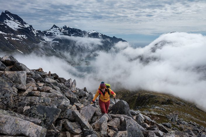
The trail gradually turns north and steepen as it begins to ascend onto Storknubben. After a couple switch backs and rocky steps as you gain elevation, the hillside eventually broadens into a large sloping ridge. The trail continues at a mostly consistent ascent before eventually reaching the summit ridge, with the summit cairn just to the right.
Camping
The summit itself is mostly rocky and slightly sloping. Below the summit are decent areas for a tent. Otherwise, down by the lakes or the initial plateau above the forest also offer numerous locations for a tent.
Due to the high amount of sheep in the area, I would not use either of the small lakes for drinking water.

