MUNKEN HIKING GUIDE
Sørvågen, Moskenesøy
797 meters
5.5 km
Moderate
3-4 hours
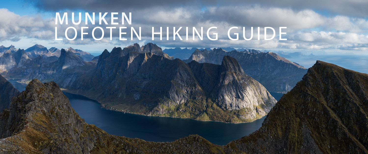
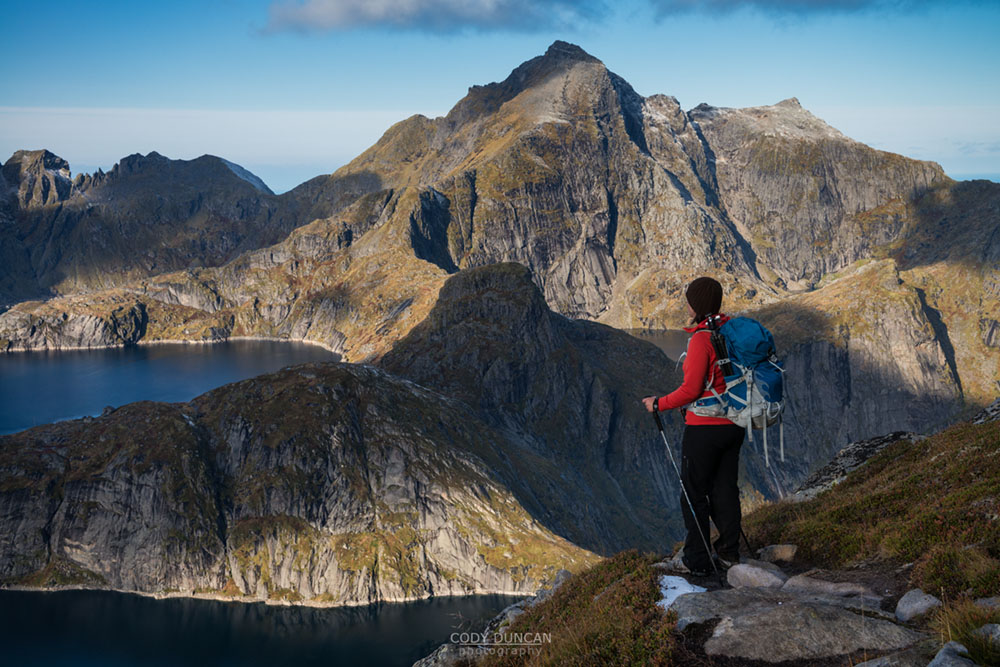
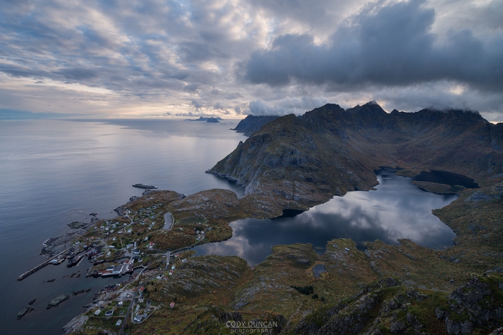
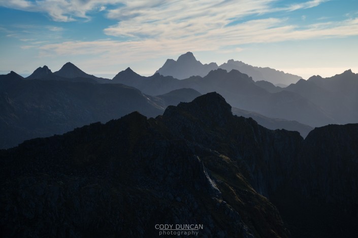
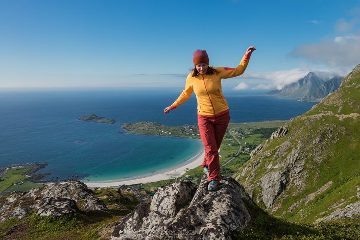
A hike up Munken combined with a night at Munkebu hut (either in the hut or camping nearby) makes for a good introduction into the wilds of Lofoten’s mountain landscape while still keeping to relatively well traveled and worn trails. And the views from the top are of Lofoten’s typical high standards: fjords, mountains, and sea in nearly every direction.
Getting There
The main trail to Munken is located in village of Sørvågen on Moskenesøy, a few kilometers before the end of the E10 in Å.
The trail begins on the north side of the lake Sørvågvatnet (the large lake in the middle of Sørvågen). There are trails approaching from either side of the lake, but the best parking is on the west side of the lake, so I will provide directions for this.
Driving into Sørvågen heading west (in the direction of Å) you will pass lake Sørvågvatnet on the right. Look towards the waterfall at the far side of the lake, as this is where you will pick up the trail. Next you will pass the large building of the school on your left. Now shortly after, you will see a white sign marked ‘Holmen,’ just before a small road on the right with a bunch of mailboxes on the corner. Go right on this road (not towards Holmen, which is left). After several hundred meters, there will be a fork in the road, continue right, and you will see the large parking area. Park here.
Take the pathway next to the building at the end of the parking area and follow it towards the back of the lake. As you near the waterfall, you will see the trail. Cross the small bridge over the river and continue up the hill.
The trail
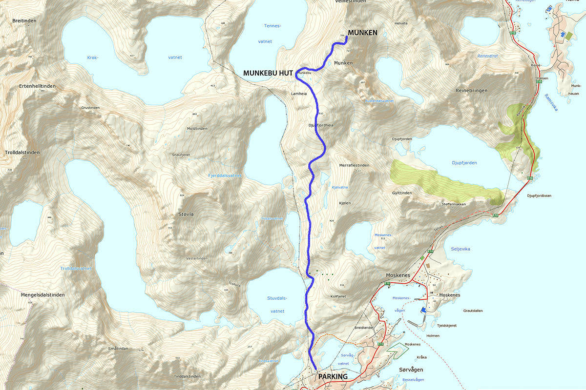
The journey to Munken can be split into two parts: Sørvågen to Munkebu hut – Munkebu hut to Munken. The first part of the trail is well marked and travels across varied terrain as the trail slowly gains elevation before descending slightly to Munkebu hut. From Munkebu hut onwards, the trail climbs at a generous, but never overly steep, pace until you find yourself arriving at the summit.
To Munkebu Hut
Leaving lake Sørvågvatnet, the marked and well worn trail climbs up to the shores of Studalvatnet where it levels off as you traverse around the eastern shores of the lake. After walking around the small bay (and hut), look for a trail leading steeply to the right and up the hillside. Take this. You will now leave the lake and encounter the first steep section of the hike where you will need to use the assistance of chains to help you ascend the somewhat steep, and quite slippery if wet, sections of rock.
Now the trail levels out once more as you meander through some boggy section towards the back of another lake. Once reaching a few small ponds, you will again climb up a rocky hillside heading towards the right. There are multiple paths up this section, so choose whatever looks best for you. Keep an eye out for small cairns to make sure you’re still roughly on track.
Next you’re back on a well worn, sometimes boggy trail and heading up towards Djupfjordheia. Once reaching the summit, you then descend on the trail down towards Munkebu hut. You are now a little past the halfway point.
From Munkebu Hut
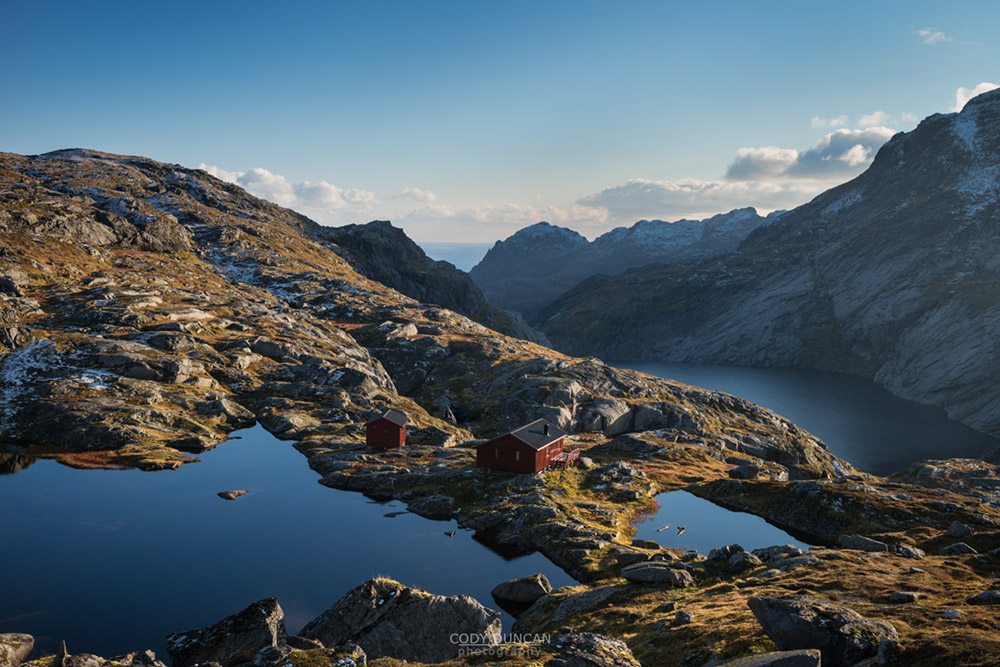
Continue past the huts while keeping the small lake on your right. You will notice a maze of trails wandering about the place. Keep to the well worn trail that leaves the lake shore and continues up the slight rise towards the rocks. The trail continues mostly straight for a short distance before turning up a bit towards the right as it begins to climb the hill. If you start to descend too much, you are probably off course.
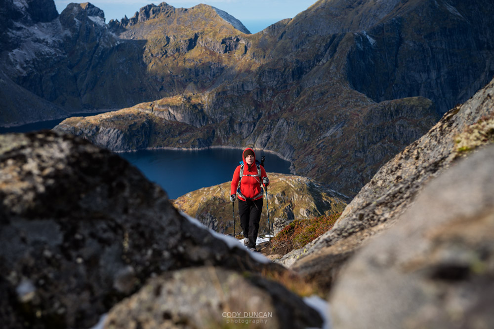
Keep ascending as the trail gently zig zags its way higher and higher up the mountain. There will be a couple steep steps and a few rocks to cross, but the trail is never too difficult and remains in good condition. As you near the summit, you will pass a couple small ponds as the trail briefly flattens before making the final push to the summit.
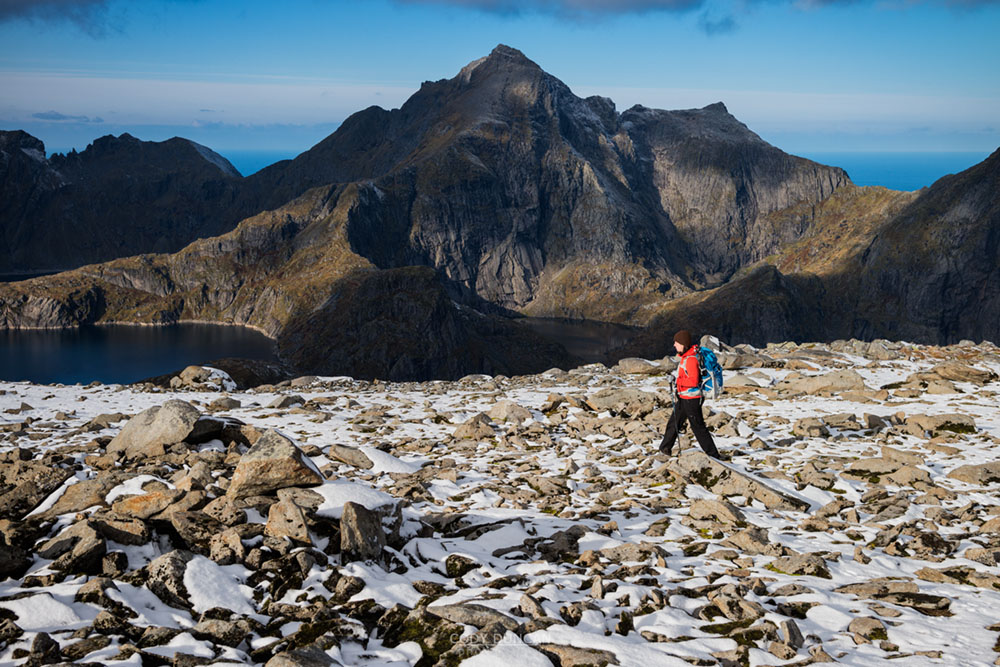
You will initially arrive on a broad, rocky part of the summit. The highest point (that you can hike to) will be a bit off to your right, while a higher, climbing only summit will rise a little beyond that. If arriving with poor visibility, be sure not to lose your way, as there are some steep cliffs on the east side.
Camping
There are several good camping options for a hike up Munken.
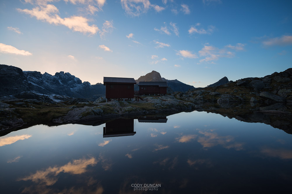
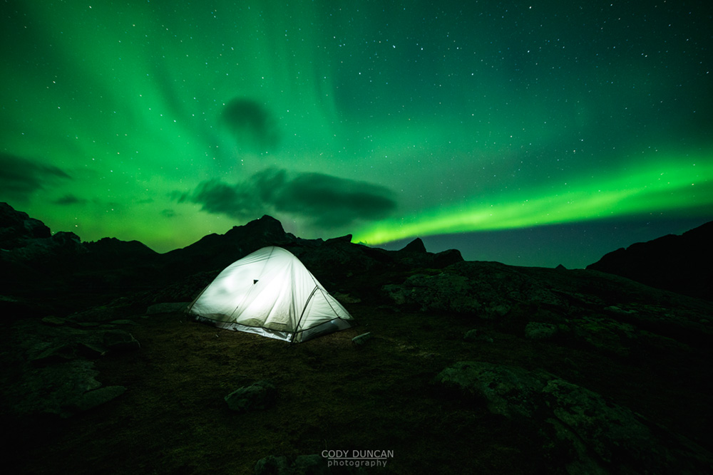
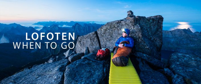
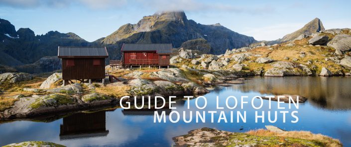
The most obvious choice is to overnight at Munkebu hut; either in the hut itself (a key is required from the tourist office) or one of the numerous camping areas in the immediate vicinity. This is a good half way point with plenty of access to water. In summer, the area is often crowded, but the views are still nice nonetheless.
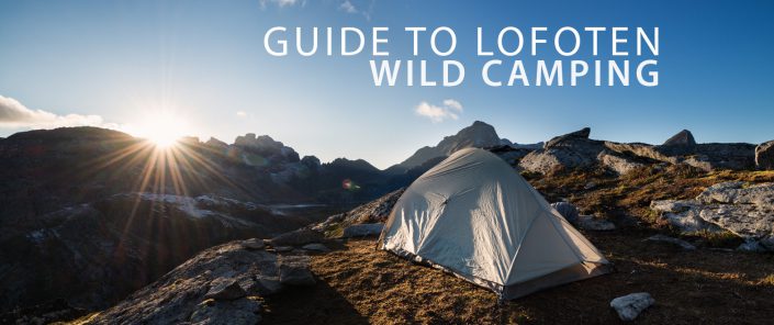
Past Munkebu hut, the next possible hiking area will be about 100 meters below the summit as the trail flattens passing near some small ponds. The terrain here is fairly rocky, without much soil for tent pegs, but you have access to water and it’s not too muddy.
The summit itself is almost completely covered in rocks and doesn’t really offer any obvious camping locations, but the adventurous camper should be able to find something for the night. No water available.

