ANDSTABBEN HIKING GUIDE
Å, Moskenesøy
514 meters
2.25 km
Moderate/Steep
2 hours
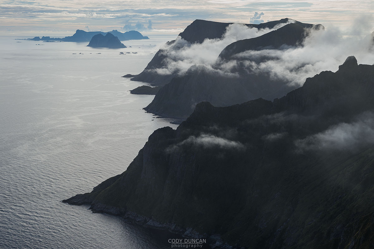
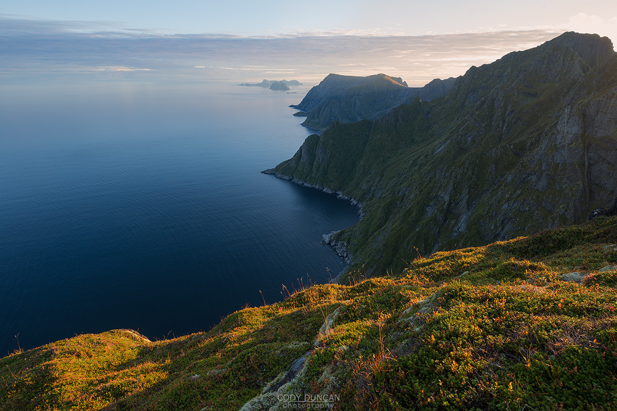
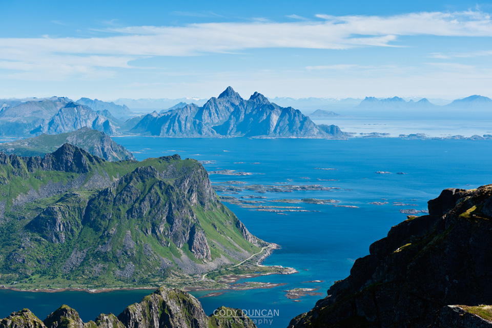
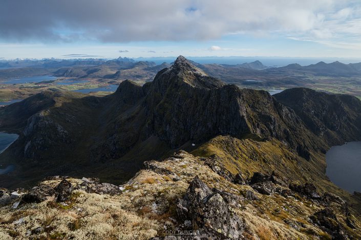
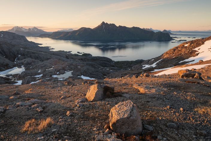
Rising to a steep coastal cliff beyond the village of Å, Andstabben is the southernmost peak on Lofoten which can be reached by trail from the road. From the summit you are rewarded with views across empty mountains and sea towards the southwest, with the islands of Værøy rising across Moskenesstraumen in the distance. With some steep and slippery sections in the middle, this is not a hike for beginners, but will provide a good adventure for more experienced hikers looking to escape the crowds of the other more popular mountains.
Getting There
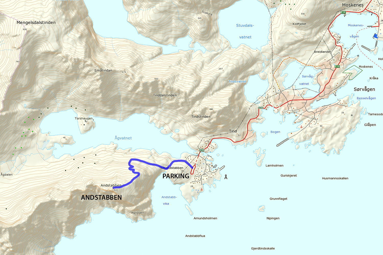
The trail begins in parking lot at Å, at the western most end of the E10.
From the parking lot, walk under the fish racks and towards lake Ågvatnet.
The trail
Initial navigation is difficult, as the popularity of the area has resulted in a maze of trails wandering all over the place around the lake. So there is not a correct way for the first few hundred meters of the route, but eventually you will need to make sure you have found the right trail, as there is only one, which you need to follow to ascend the cliffs.
From the back of the fish racks, take the muddy trail descending slightly to the left, keeping the lake to your right and the small hill to your left. After aproximately 200 meters, you will arrive at a small gully between the hill you just walked along on your left, and the beginning of a new hill ahead of you. Walk up the center of the gully in a southwest direction.
Passing the high point, begin a slight ascent towards the sea. Take the clearly visible path leading to the right. The trail still splits from time to time, keep following the most visible trail, while ascending away from the lake.
Keep ascending and within 200 or so meters you should begin to pick up some cairns for navigation. The trail also passes over some rock slabs in this area, in which it can be lost, but keep heading parallel with the lake shore while gaining elevation.
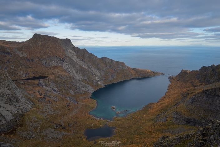
About 800 meters after leaving the fish racks, you need to find yourself on a cairn marked trail, 100 meters above the lake as it passes through an old boulder field just below the steep cliffs on your left. After the boulders begin to thin, is the first short climb of the hike.
The trail now becomes steeper, as it climbs up the wet and slippery cliffs. At times, the trail is quite muddy and steep, and other times loose and rocky gullies must be ascended.
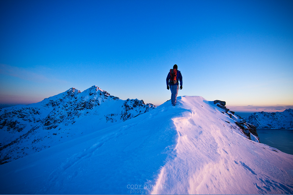
Around 250 meters elevation, the trail will begin to head east as it ascends towards mostly gentle ridge. From here on, the hiking is mostly easy and the steep parts are over. At 300 meters the trail returns to a southwest direction and heads up the ridge ahead of you. Soon you will reach the summit.
Camping
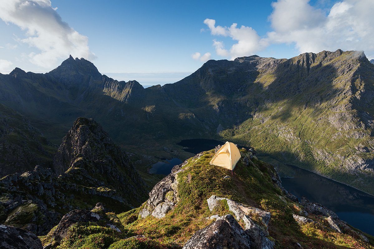
Several summit locations for a tent, but not always perfectly flat.
More options lower down along the ridge.
No water available.

