STORNAPPSTIND HIKING GUIDE
Napskaret, Flakstadøy
740 meters
2 km
Moderate
2-3 hours
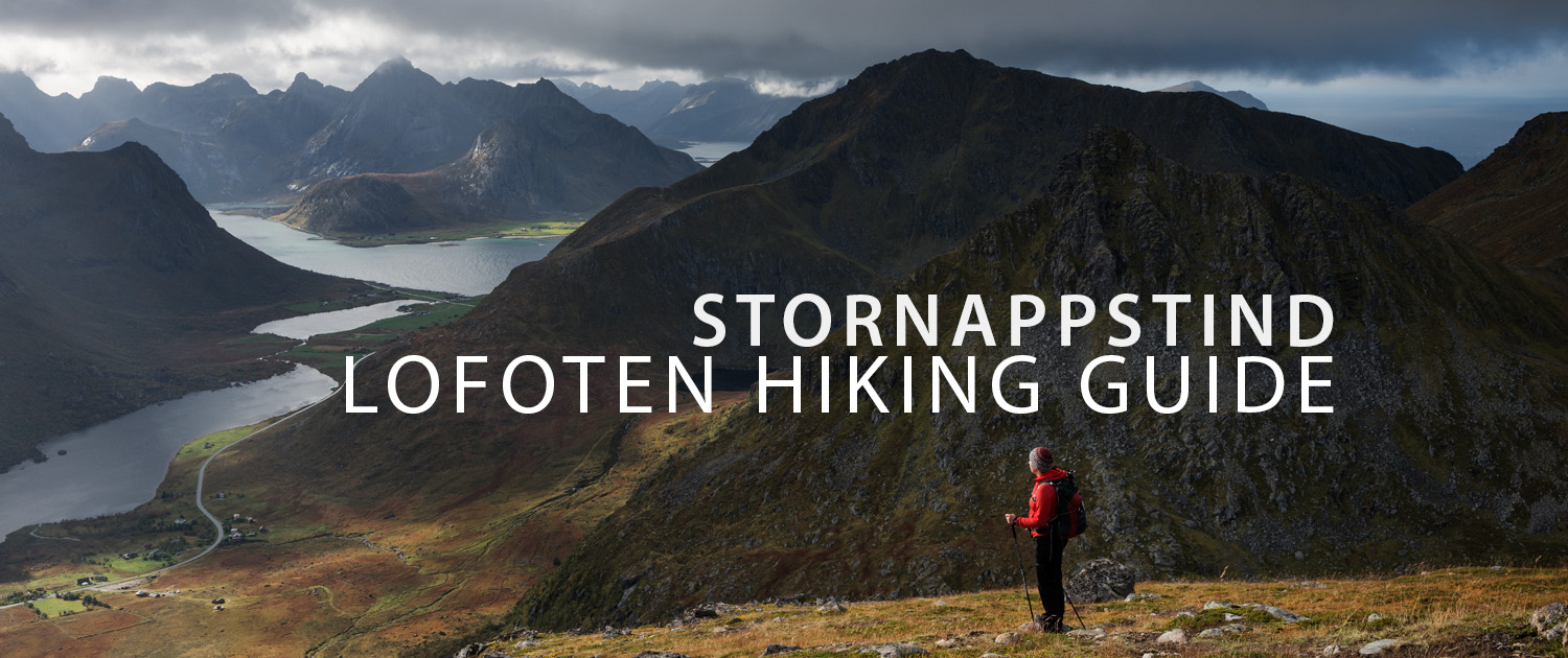
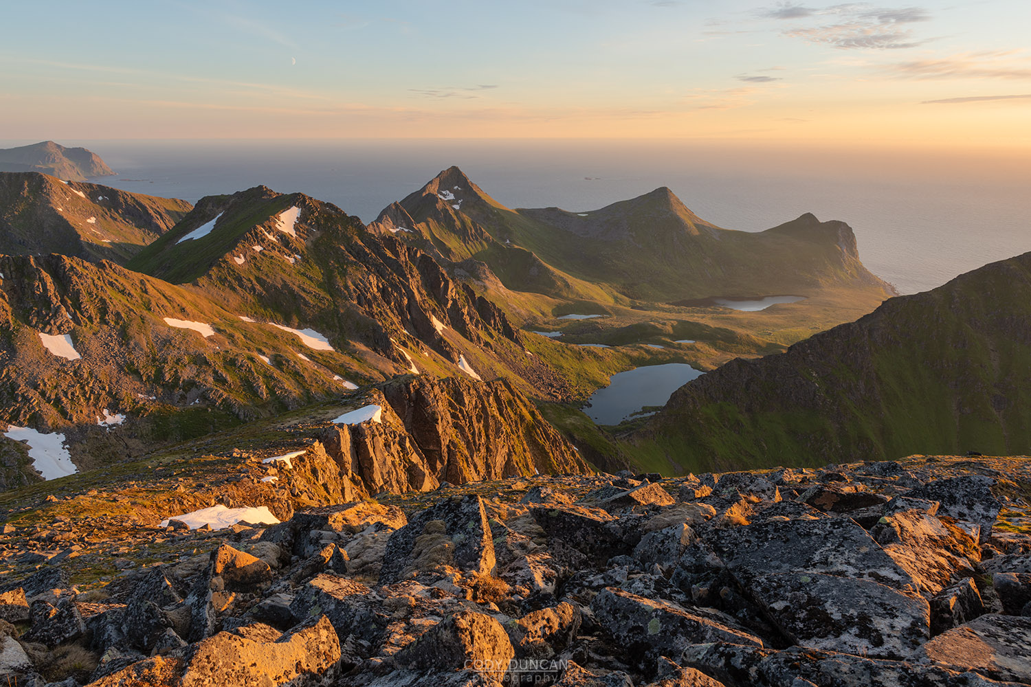
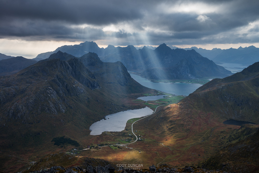
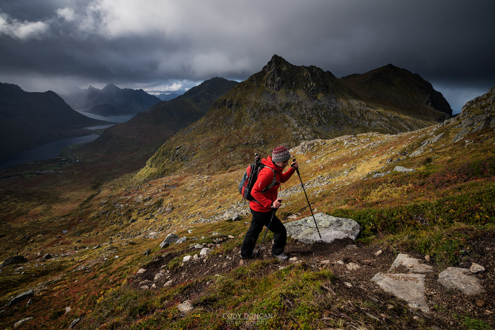
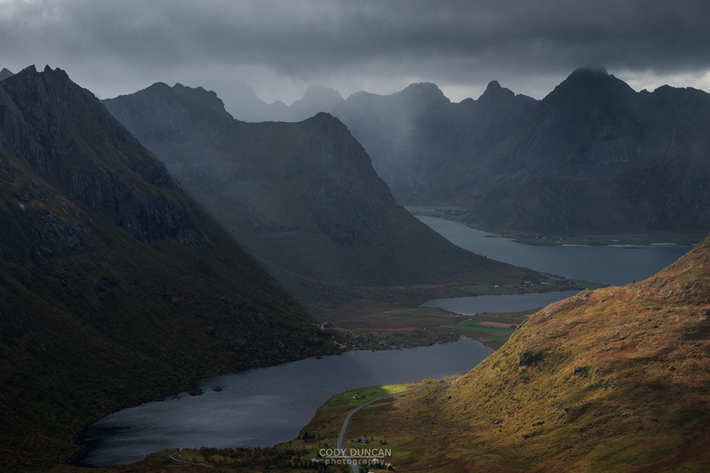
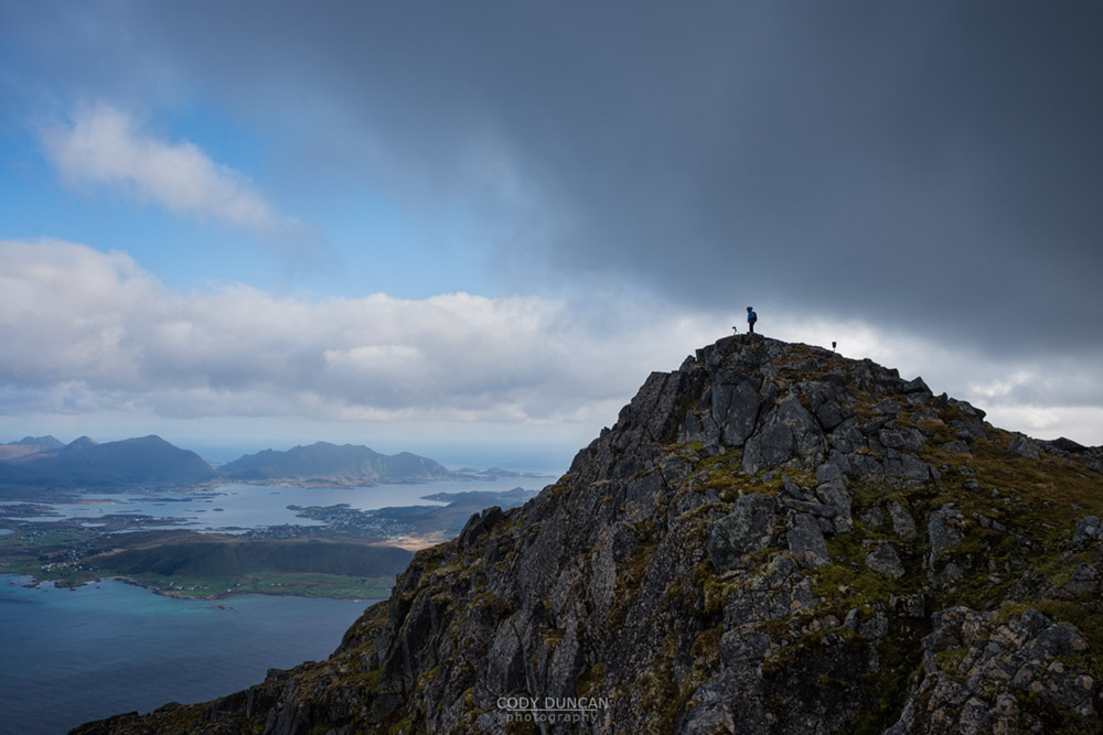
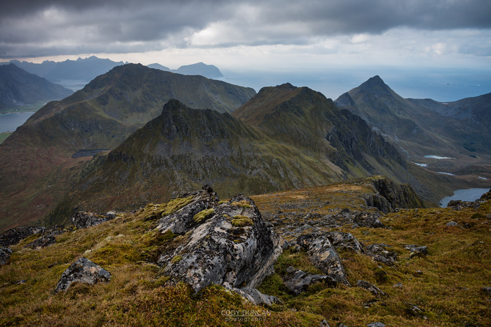
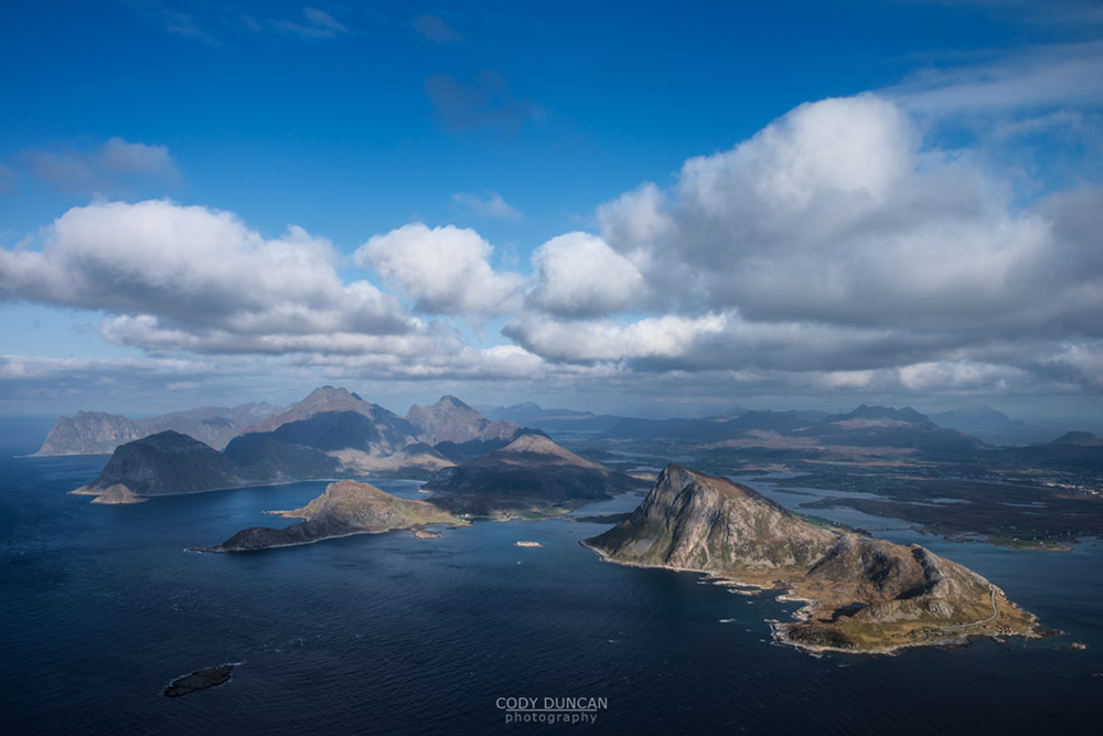
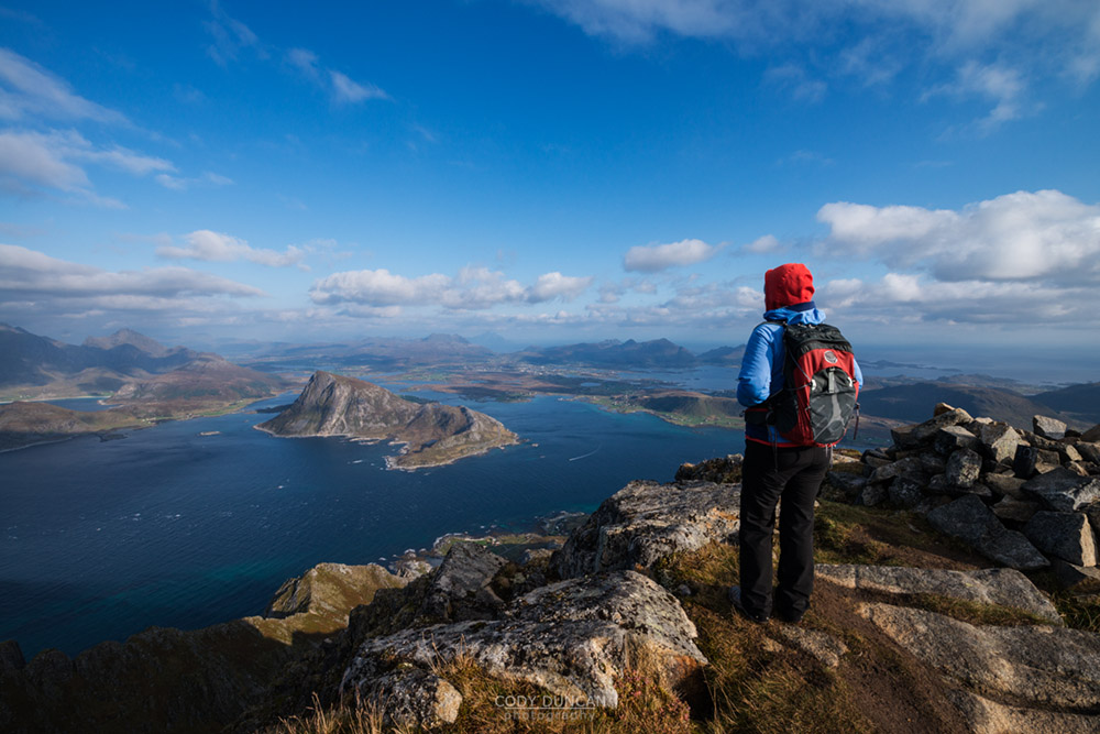
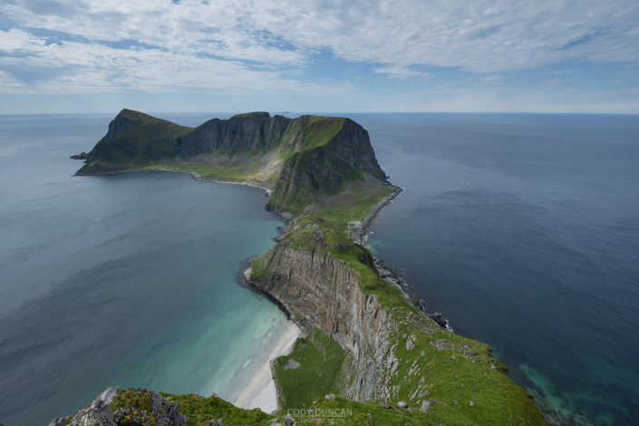
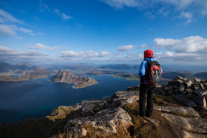
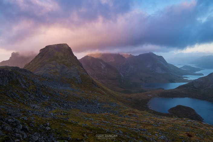
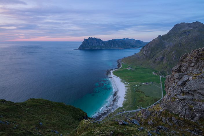
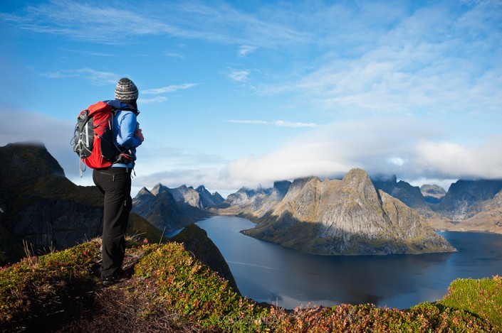
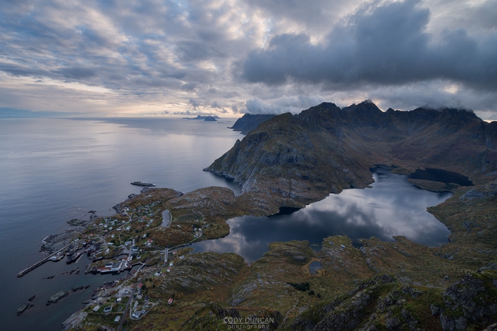
Stornappstinden often first appears as an imposing and jagged peak rising above the turbulent waters of the Nappstraumen. Fortunately, a rather straightforward and well worn trail leads to the summit of this impressive peak, providing you with the typical fantastic views across the Lofoten landscape. At 740 meters high, the summit sits in the middle range of Lofoten’s peaks and makes for a good day out in the mountains.
Getting there
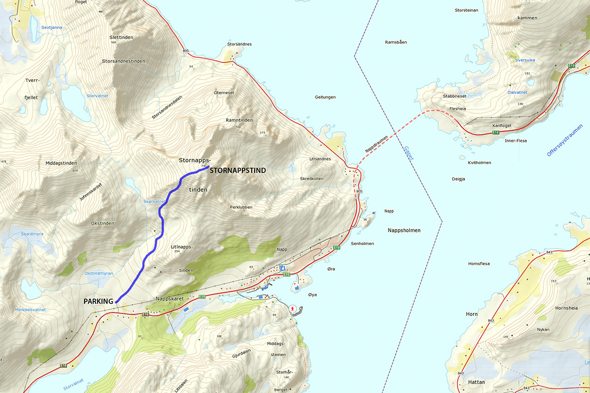
The route to Stornappstind begins near the village of Napp, located along the E10 on the eastern edge of Flakstadøy. The start of the trail is at the small ski center on the north side of Nappskaret, the low pass on the west side of Napp. There is space for a few cars at the ski center itself, or alternatively, there are several parking areas along the E10 at Nappskaret.
The trail
From wherever you have parked, begin walking towards the upper most pole of the ski lift. Here, several small trails from the various parking areas will converge together and begin to take you up the mountain. Stornappstind will be the large peak ahead of you, across the river.
At first it appears as if you might head directly up the small peak in front of you, but the trail will gently wrap around the western edge as it heads towards the river running down from the mountains. After crossing the river, and a few minor boggy sections, the trail will begin to increase in steepness as it starts to take you higher up the mountain.
Though unmarked, the trail mostly remains in good condition and without any serious exposure as it winds its way higher up the mountain. After about 600+ meters of ascent the trail will top out at the summit plateau on the west side of the mountain. From here it is now an easy walk up a mostly gentle slope before reaching the somewhat rocky summit which ends in a steep cliff of the east face.
Enjoy the views east across the Nappstraumen and over the northwestern side of Vestvågøy.
Camping
There are some flat areas along the summit ridge which would be suitable for a tent. For the most part, the summit is on the rocky side, so the smaller the tent, the better. The summit is quite exposed to any incoming weather, so be aware of the forecast if choosing to camp. The nearest water is a few hundred meters below the summit, so carry what you will need.

