MATMORA HIKING GUIDE
Delp, Austvågøy
788 meters
6 km
Moderate
3 - 4 hours
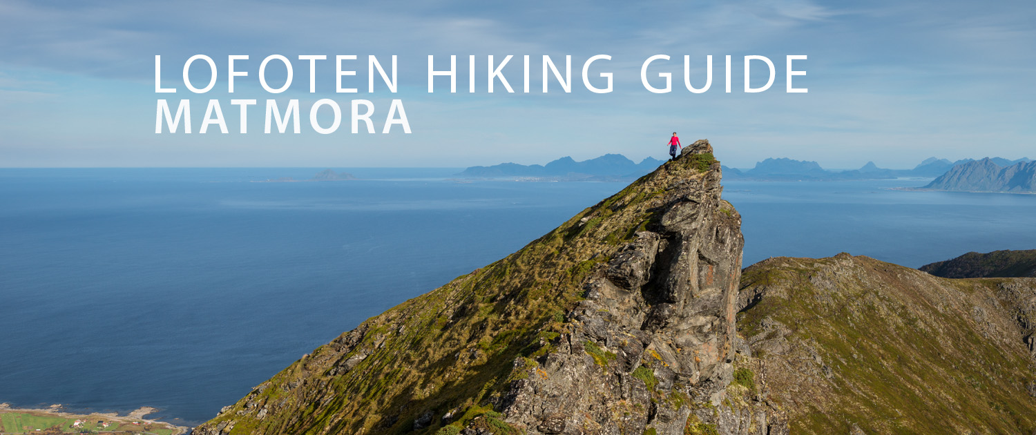
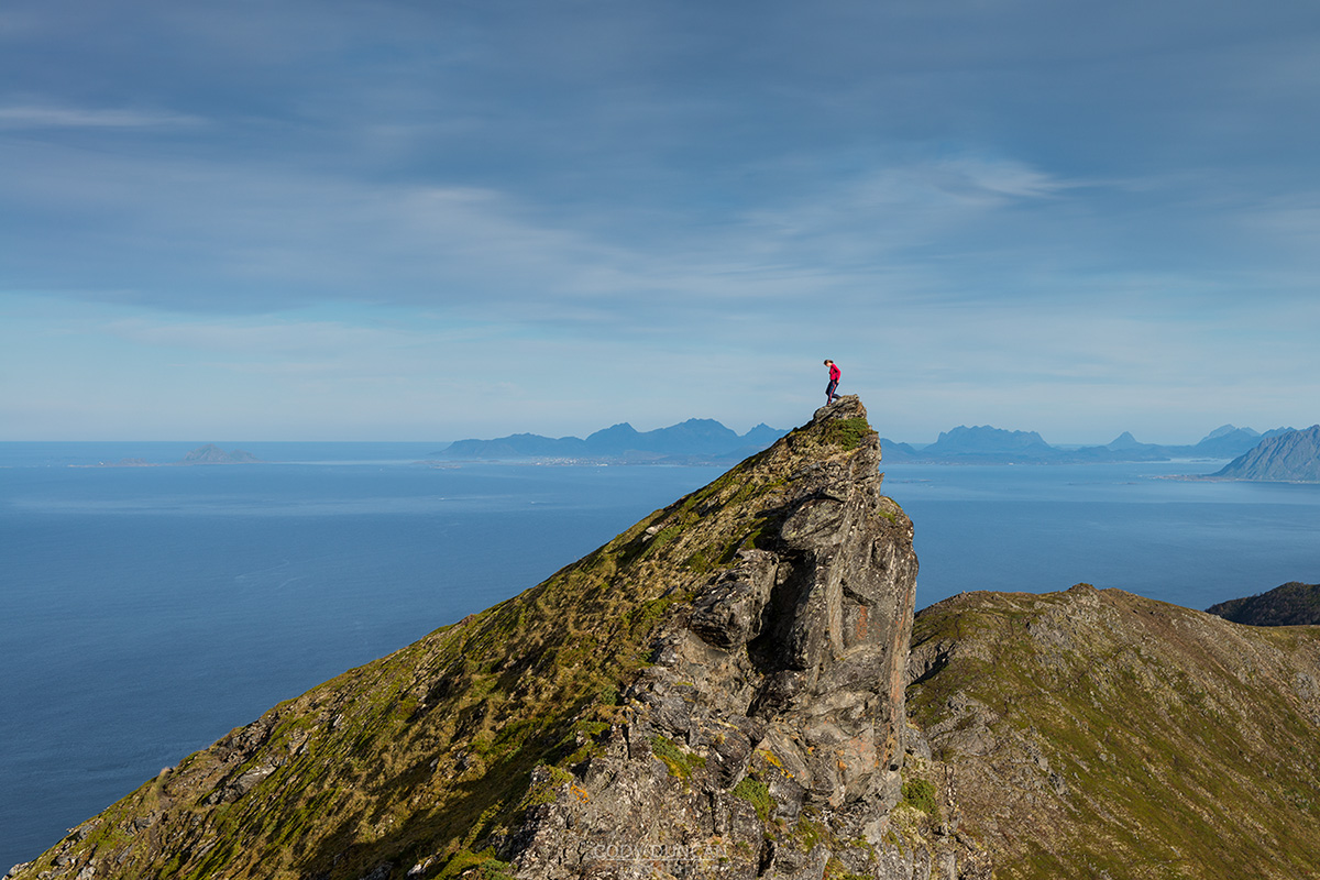
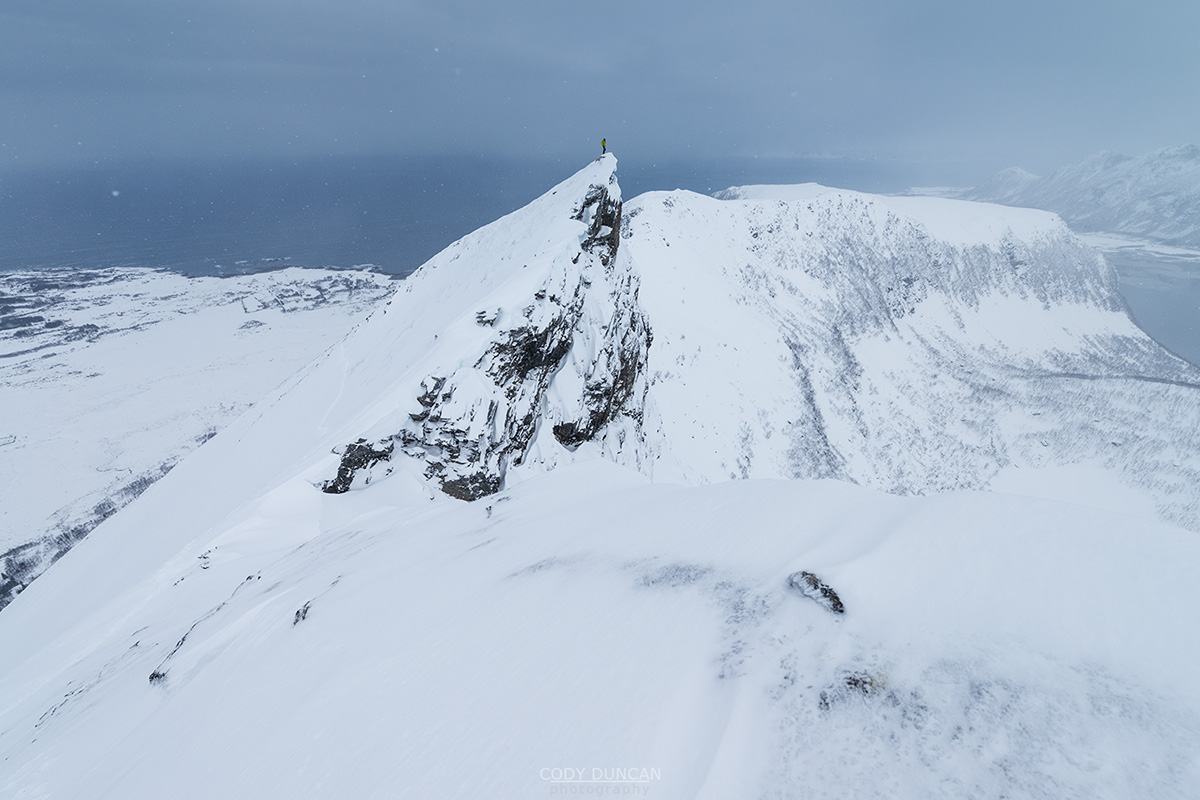
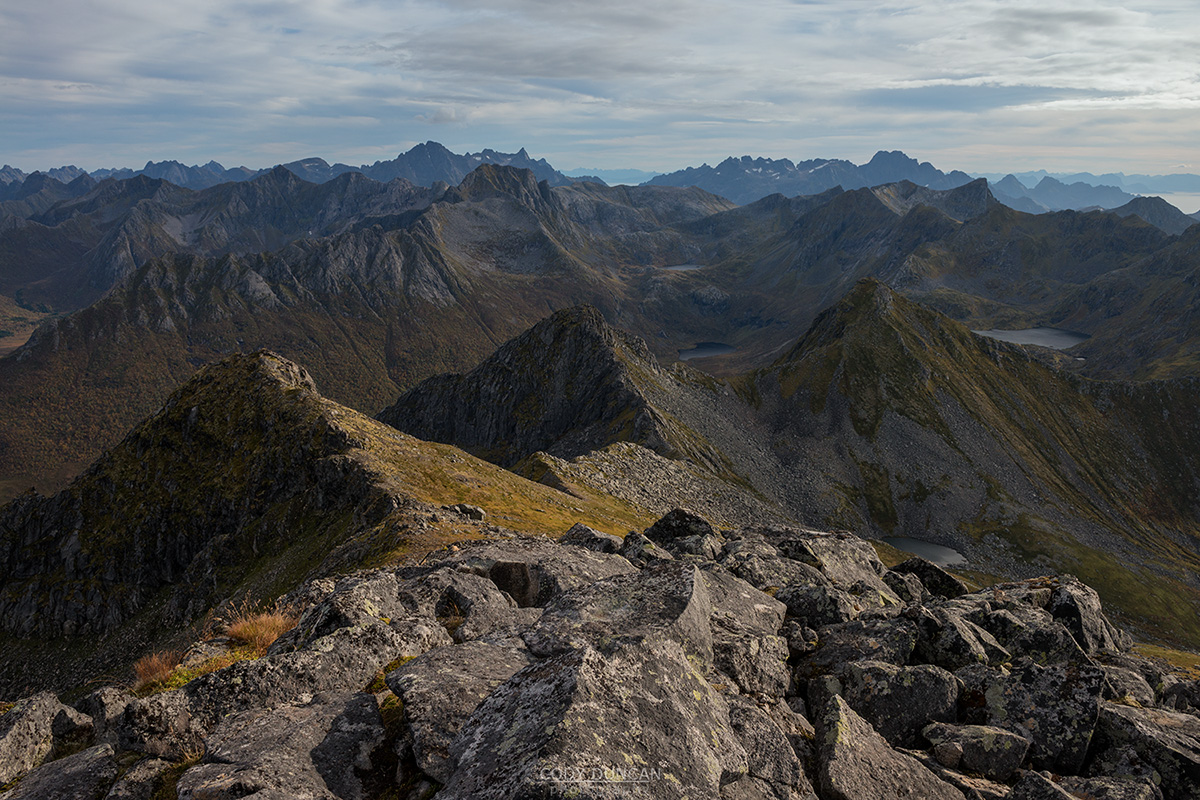
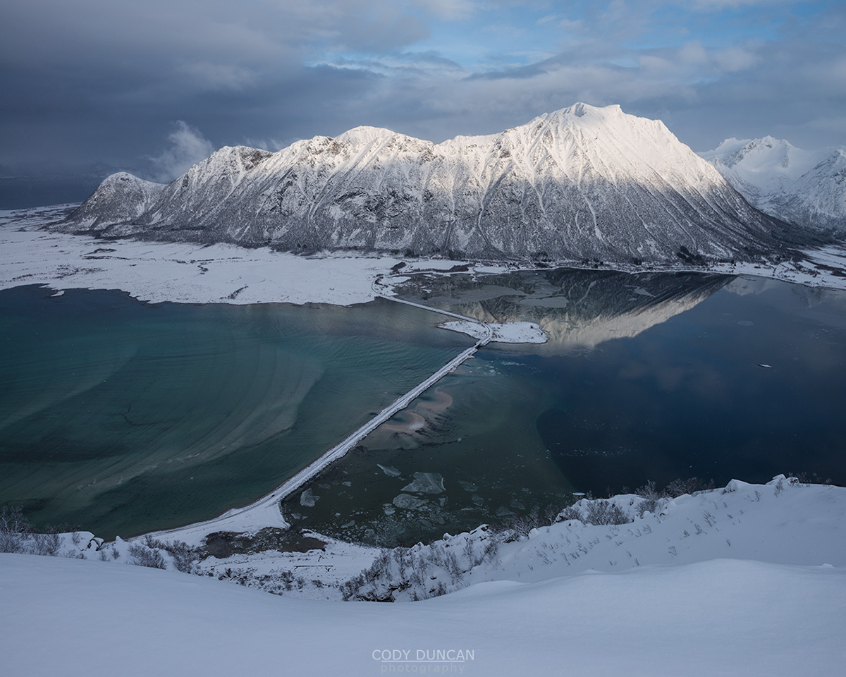
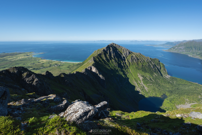
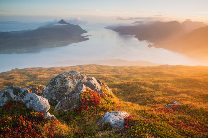
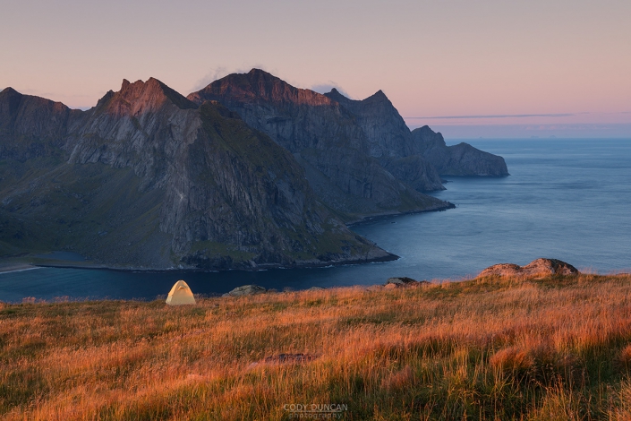
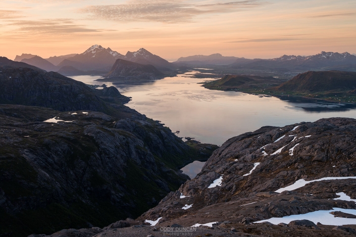
Matmora is one of the most scenic hikes in east Lofoten. The long, narrow and winding ridge provides some of Lofoten’s most iconic view points while having a trail that remains clear and easy to follow. It is a long hike by Lofoten standards, and the summit of Matmora can often be covered in low clouds, even during summer, so check the weather before going.
Getting There
The trail to Matmora begins at Delp in the northeast corner of Austvågøy.
From Svolvær continue on the E10 16km east before turning left on Fv888, to Laukvik. Continue along this road for 17km until in nears the coast and splits in two directions. Turn right (east) towards Fiskebøl.
Continue another 2km, until you see a parking area on the right, just before reaching Delp. It is signposted for Matmora. Park here.
The Trail
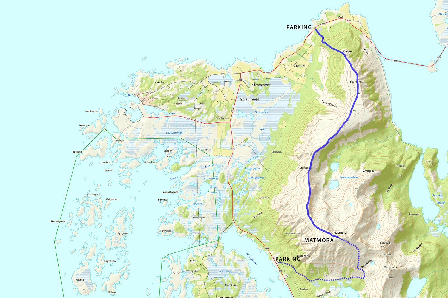
The trail begins from the back of the parking lot. Pass through the gate and continue on the well worn trail towards the hill ahead of you. The trail remains clearly visible as it winds its way up the forested hillside. At around 300 meters elevation the trees will begin to thin as you arrive on the broad, flat plateau at Delpen/Gjersvollheia.
As the plateau flattens out, a number of possible trails spread out across the heathery landscape. If the weather is clear, you can see the large summit cairn of Matmora almost directly to the south, at the hight point along the ridge.
Keep to any of the trails as you continue south across the plateau, before heading slightly right (west) to the first high point of 529m in the distance, marked with a cairn. You can skip the high point and follow the trail on the left side of the ridge. From here, you descend slightly as the ridge narrows. There is where the real hiking begins.
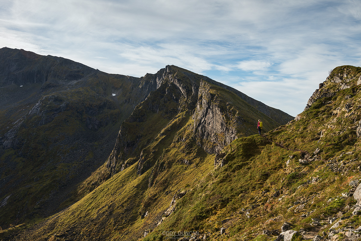
As you reach this small pass, the main ridge of Matmora rises ahead of you. Continue along the well worn trail. There are several side trails here, which bypass some high points, however it is the most scenic route to keep to the trail which stays along the ridge.
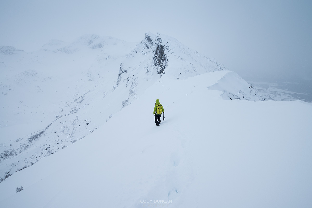
As you gain elevation along the ridge, there are some slightly narrow and airy sections. The trail always remains well worn and easy to follow. Though, if you are hiking early in summer, there may be snow banks which might make progress difficult or dangerous.
As you near the summit, the ridge flattens out and softens in ascent until suddenly, almost out of nowhere, the summit cairn appears just a short distance away.
If you don’t what to return the way you came, it is possible to continue along the trail over the mountain and down the opposite side into Rangeldalen, and back to Fv888. From here, it will be 6km along the road back to your car at Delp.
Camping
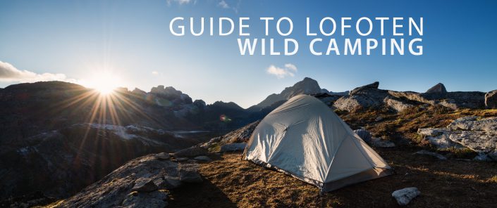
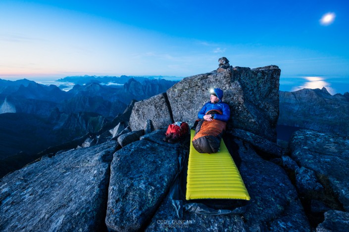
The Summit itself is completely rocky. But a short ways back down the ridge are some possible camping options.
The plateau at Delpen is also a good place for camping to avoid carrying gear the whole way up the mountain.
No water available at either option.

