MARKAN HIKING GUIDE
Selfjord, Moskenesøy
600 meters
5.5 km
Moderate
3-4 hours
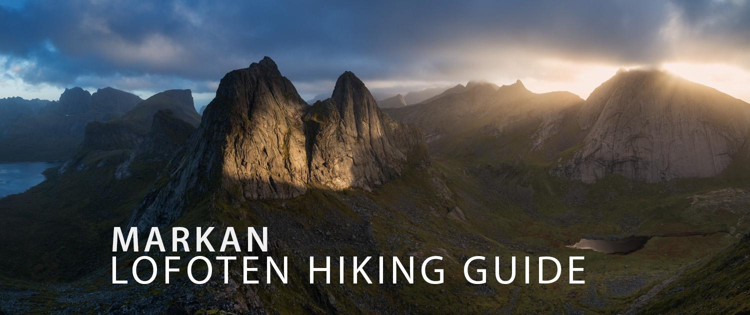
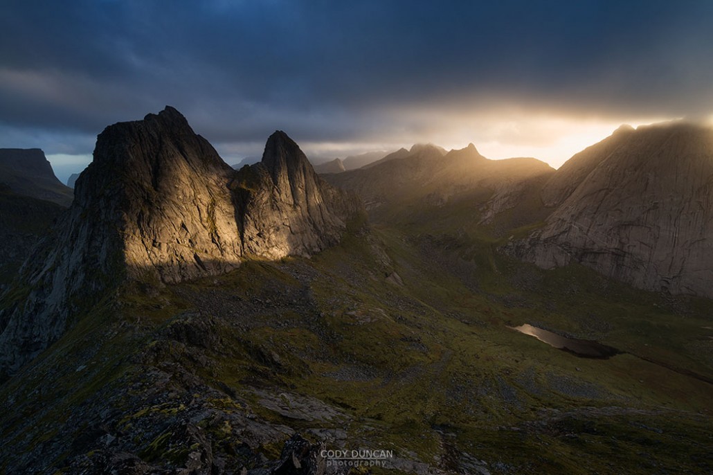
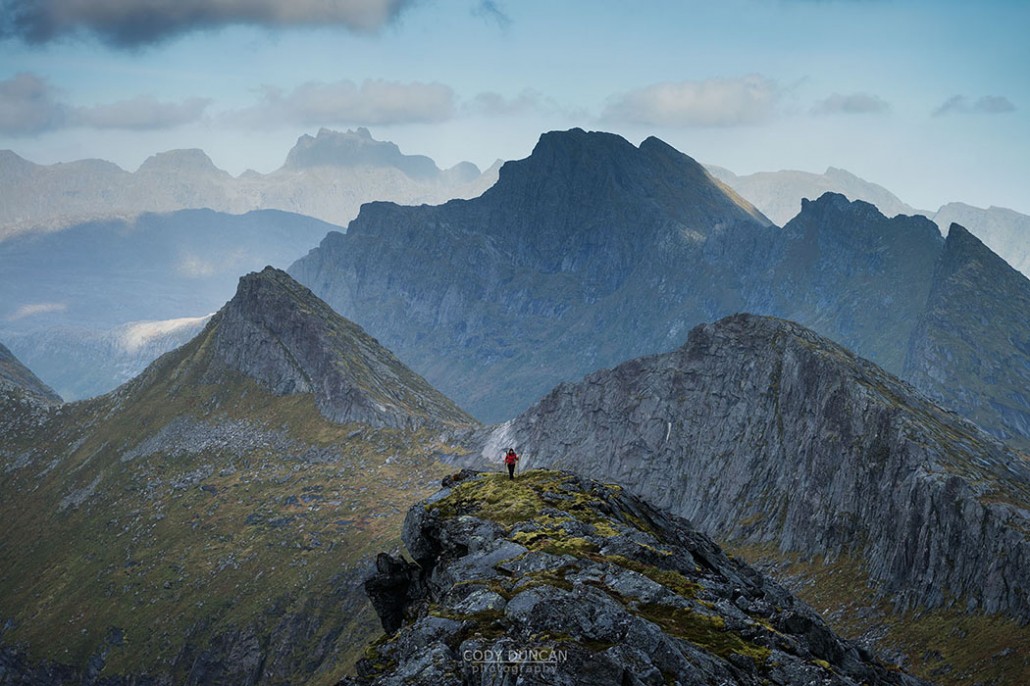
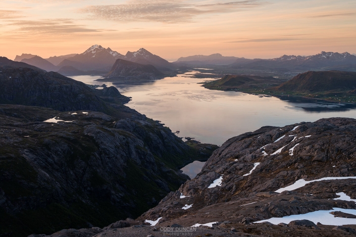
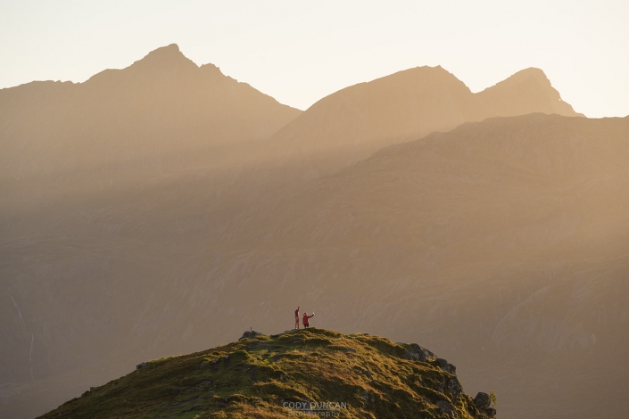
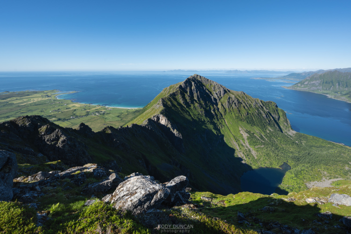
The summit of Markan is like an island surrounded by some of the most wild and rugged peaks of western Lofoten. In almost every direction, steep walls of rock are rising into the distance from the deep, lake filled valleys far below. While more than worthy as a destination in it’s own right, it is also conveniently situated for a quick side trip while on route between Horseid beach and Selfjord.
Getting There
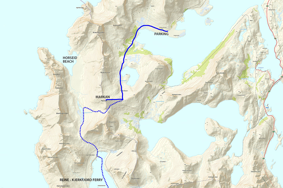
There are two main approaches to Markan. One way requires a long-ish hike through some of the boggiest terrain to be encountered on any Lofoten trail. While the second way requires a ferry from Reine to Kjerkfjord and the crossing of two mountain passes. This second way works well if you want to overnight at Horseid beach and perhaps climb Markan as a day trip, or as you continue on towards Selfjord.
From Selfjord
This route begins at the Selfjord Hytte, located on the north side of the appropriately named Selfjorden, on Moskenesøy. Traveling along the E10, drive in the direction of Flakstadøy. Exit the E10 and cross the twin bridges towards Fredvang. Turn left into Fredvang and continue through the village in the direction of Krystad. After about 6km the pavement will end as you come to an intersection. Turn right here, continuing on along the Fjord. Continue along the unpaved road for another 3.4 kilometers until you come to a small parking area on the left, just past some houses. The road beyond this point is signposted as no parking.
From Reine
Follow the E10 to the village of Reine, located in the western part of Moskenesøy. If traveling by car, turn off the E10 and into Reine. After a few hundred meters you will see a white sign for the ferry, turn left here and park in the ferry parking area just up from the small pier. If traveling by bus, exit in front of the StatOil station. From here, walk back along the road about 100 meters until you see a white sign pointing towards the ferry. Walk right here and continue on towards the pier.
Take the ferry to Kirkefjord – Kjerkfjord. Leaving the ferry in Kirkefjord, turn right as you leave the pier and walk about 100 meters until you pass over a small stream and see a signpost for a trail heading off to the left, up and over the obvious mountain pass.
The Trail
From Selfjord
Continue on down the road from the parking area. After about 100 meters you will pass Selfjord Hytte (the brown buildings) and a couple other houses. Continue straight on the road and take the trail that leads directly into the small forest area. You will quickly leave the trees and be provided with fantastic views of the end of the fjord and the spectacularly steep surrounding mountains. From this vantage point the trail is going to take you around the end of the fjord and continue up the low rise towards the left as the route slowly begins to gain elevation.
This first section around the back of the fjord is the worst section. It is entirely boggy and anything other than the most waterproof boots will become completely soaked over the next 1 kilometer of trail. If you have sandals, you might prefer to wear them to keep your shoes dry for the rest of the trail. Otherwise, just accept the wetness and plow on through, any attempts at keeping dry feet will be futile.
Following the trail down to the far end of the fjord you will first pass a small shelter located in a small grove of trees and then a small creek. The worst of the boggy section is over now, but there still remain a few sections of swampy or muddy ground every now and again.
Keep to the trail as it slowly begins to gain elevation and begins to turn more rocky in nature as it enters the low birch forest. Another short while and you will reach the first steep-ish climb of the route as you follow a (mostly) dry creek up a steep rise before shortly leaving the forest as you approach the small pond. Continue along the lake as you make your way towards the obvious mountain pass that lies ahead of you.
As you approach the pass, the trail weaves its way around holders, over tress, and zig zags for no apparent reason. Soon enough the trees will begin to thin as you near the bottom of the pass.
Not to waste words, I would describe the condition of the rather bad. It is steep. Often slippery and muddy with several sections of water seepage flowing over mud covered rocks with few desirable foot placements. Overall, it is an ascent of about 250 meters until you reach the Fageråskaret pass at about 400 meters. Take a rest here, you are now just an enjoyable ridge climb away.
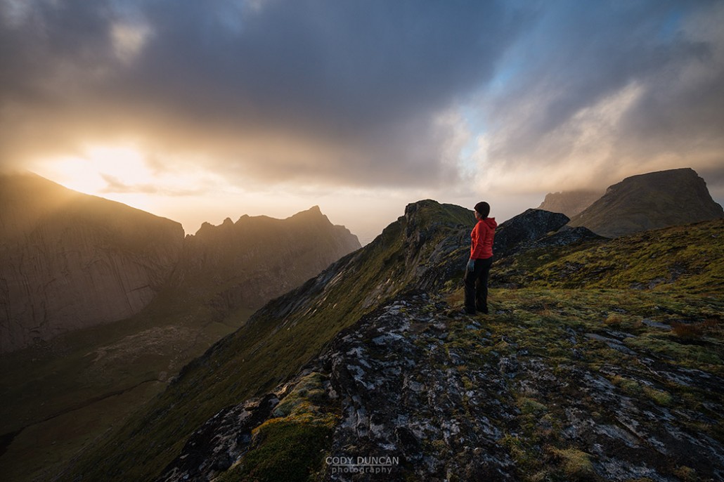
From Fageråskaret, the summit of Markan is another 200 meters higher, following the ridge to the right. At the pass, begin to ascend the rocks leading up towards the ridge. At first there are multiple options, and even just picking your own route is easy enough, but as the ridge begins to narrow you want to find yourself on the obviously warn trail. As you ascend, a couple steep rock steps will need to be climbed every so often, though most are in the middle section. There are also a couple narrow sections with a bit of exposure towards the upper reaches of the ridge as you begin to near the summit.
Finally, around, over and up a few more boulders and you will find the trail suddenly arriving at the relatively large and flat summit. Enjoy the view, you worked for it!
From Kjerkfjord
The journey from Kjerkfjord to Markan is an all together different experience than from Selfjord. While the route is technically shorter, you do have to cross an additional pass, from Kjerkfjord to Horseid. It is rather low, but does add to the overall elevation gain for the day.
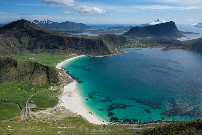
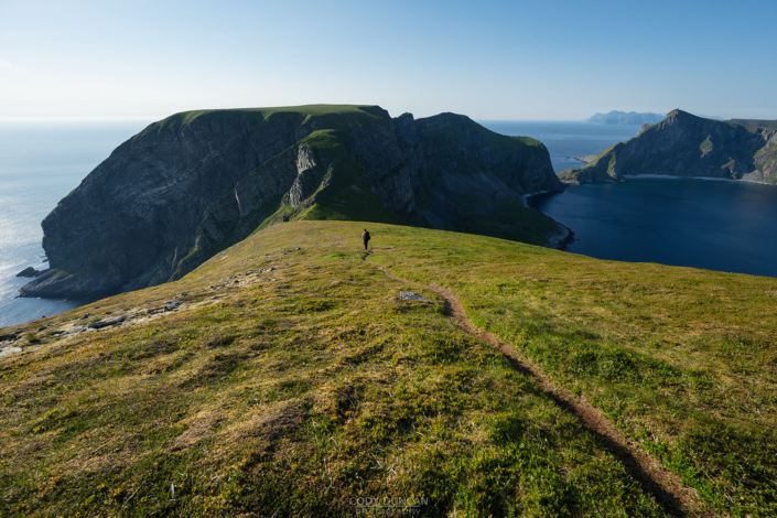
Leaving the village the well worn, but otherwise unmarked trail leads you up towards the center of the obvious pass. At times the trail crosses some flat rocks where it might be a bit difficult to follow; just keep going up and you’ll come across it again shortly. In about 30-40 minutes you’ll reach the top of the pass where you are provided with fantastic views over the valley below and Horseid beach in the distance. The summit of Markan is the somewhat flat looking peak rising above the lake to the right.
The trail now twists and winds its way down the north side of the pass as it descends towards the valley. There is pretty much only one way to go, down, but as the trail begins to flatten as you reach the bottom, make sure you head towards the right side of the lake.
As you reach the back of the small lake look for the trail leading to the right, up the hill and towards the pass between Markan (on the left) and Kråkhammartind (on the right). The trail becomes moderately steep at times as it climbs towards the pass. And if it has been raining recently, there can be some slippery and muddy sections (more so on descent). After around 400 meters of ascent, you will reach the pass. Look towards the left, across the moderately angled slope to the pass almost opposite, the ridge rising up to the left from there will be your final ascent to the summit. Continue along the trail and traverse the rocky slope to this next pass, Fageråskaret.
Upon reaching Fageråskaret pass, begin to ascend the flat boulders to your left. The summit of Markan is now about 200 meters away. At first there are multiple options, and even just picking your own route is easy enough, but as the ridge begins to narrow, you want to find yourself on the obviously warn trail. As you ascend, a couple steep rock steps will need to be climbed every so often, though most are in the middle section. There are also a couple narrow sections with a bit of exposure towards the upper reaches of the ridge as you begin to near the summit. Finally, around, over and up a few more boulders and you will find the trail suddenly arriving at the relatively large and flat summit.
Camping
Reaching the summit of Markan means you are in the heart of some of the wildest parts of Lofoten and relatively near some other worthwhile destinations, Horseid beach in particular. So rather than just a day trip, I would suggest combing Markan with an overnight or two.
Horseid beach: See the detailed hiking page HERE. Horseid is one of my favorite camping locations on Lofoten. If you are traveling from Kjerkfjord, you could set up a base camp here and hike Markan as a day trip.
Fageråskaret: The small pass makes for a sheltered, mountain location within easy reach of the summit of Markan. And even from the pass, the views are fantastic. It serves as a good location to explore some of the other mountains in the area as well. The main drawback is there is no easy access to water, so make sure to carry all you’ll need.
Summit: The summit is relatively broad and flat but completely exposed as usual for Lofoten summits. While flat, most of the summit is rock with a layer of moss, meaning stakes won’t get the best purchase in the ground. No water.

