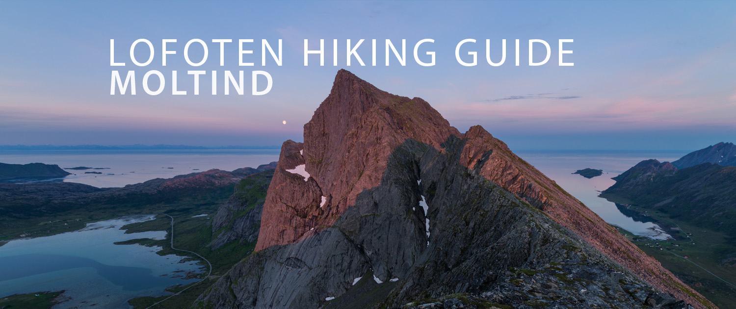
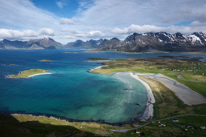
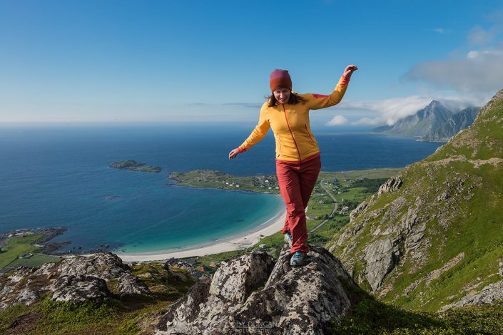
MOLTIND HIKING GUIDE
Ramberg, Flakstadøy
696 meters
1.75 km
Moderate
2 - 3 hours
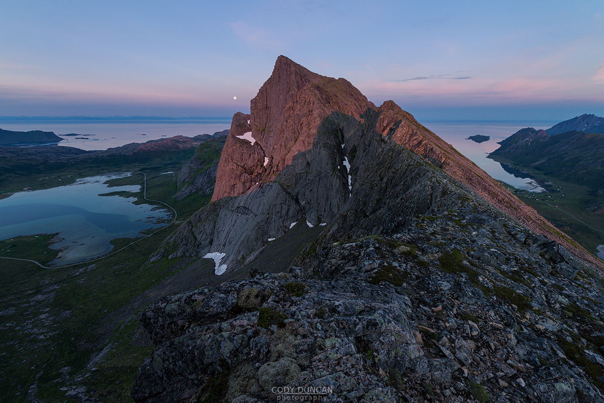
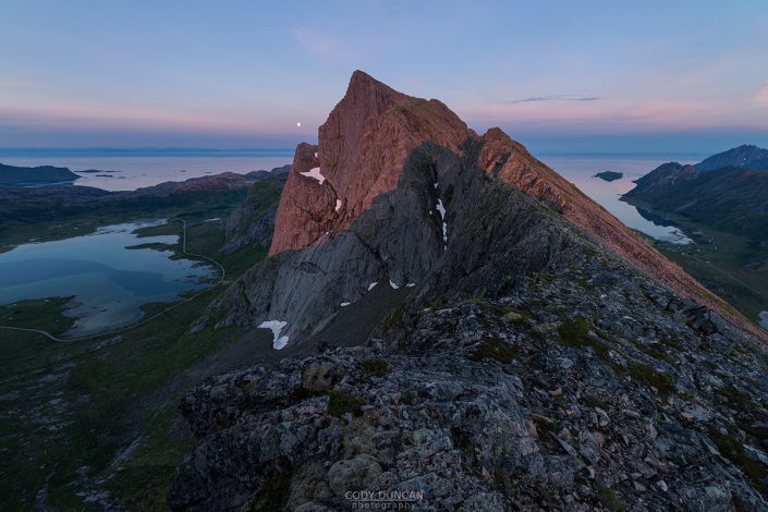
Beginning with the short steep climb to Nubben, the trail then becomes much wilder in nature as it traverses to the northern ridge of the mountain. From here it is 400 meters of ascent along the initially grassy and then increasingly rocky trail which is not always visible. Though it looks steep and imposing from below, the route is not overly steep and, as long as you keep away from the edge of the ridge, not too exposed. Reaching the true summit requires a short, exposed scramble up steepish rocks.
Getting There
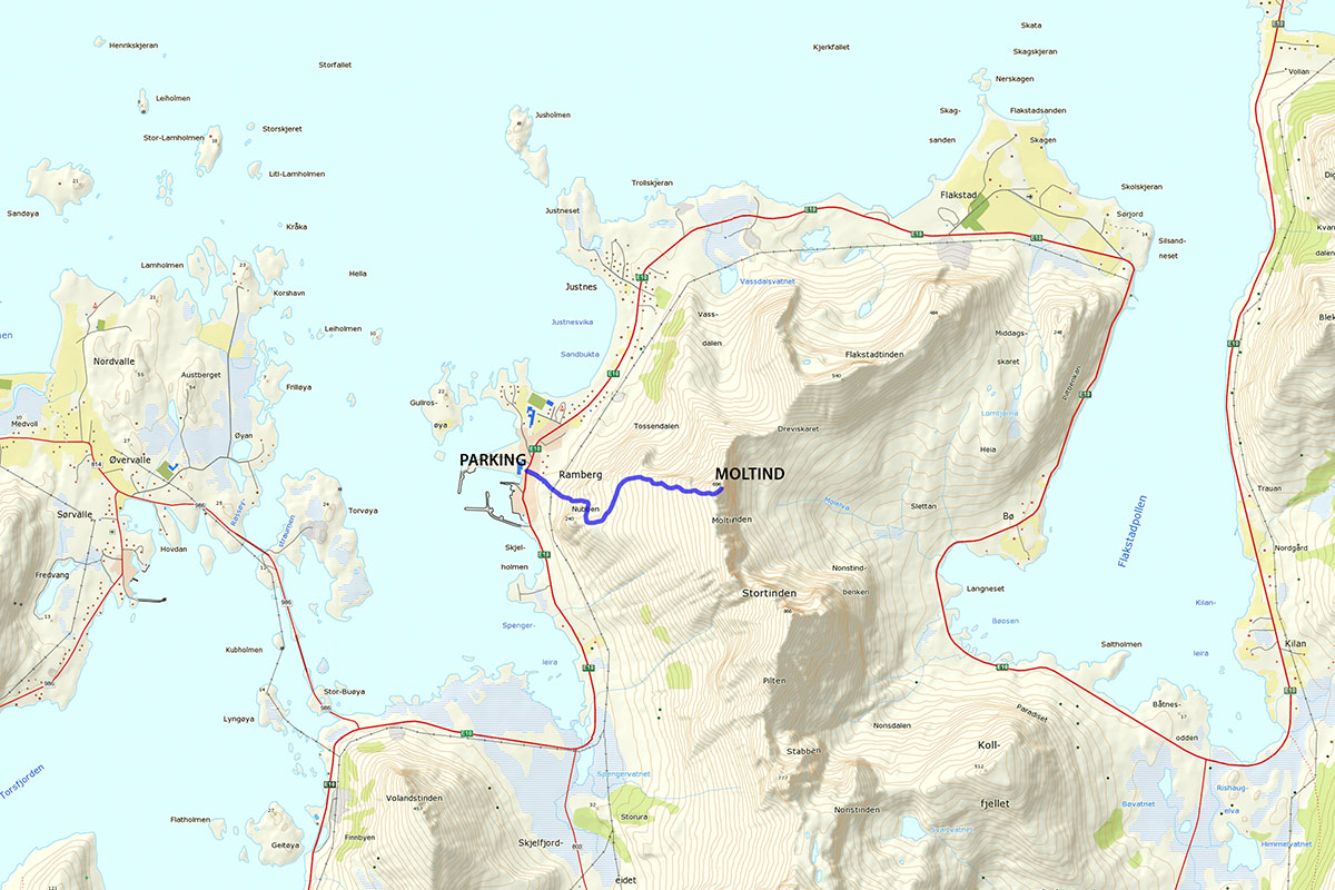
The trail to Moltind begins in Ramberg, across from the Bunnpris supermarket. Park in the shop parking lot and cross the E10 towards the mountain. Take the road to the left of the yellow house, heading in the direction of the large storage tank on the hill a couple hundred meters away. As you near the top of the road, you will see a small sign marked ‘tursti.’ Follow this trail, continuing towards the storage tank ahead of you.
The Trail
Passing the tank, the trail quickly begins to steepen. While never marked, the trail is always easy to follow. And though it might look a little on the steep side at first, the trail is well worn into the hillside and does not provide too much exposure.
The trail continues to wind its way back and forth up the mountain with a few rock steps here and there, but overall it is an easy hiking by Lofoten standards. As you near the top, the trail begins to turn south and becomes a bit muddy, but less steep.
As the trail flattens out, it splits. Keeping to the right and ascending the small rocky outcropping will take you to the summit of Nubben, a good point for a drink of water. Continuing to the left, in the opposite direction of Nubben, the trail traverses over a few rocky outcroppings, before heading off across the grassy slopes towards the north ridge of Moltind. There are several trails leading across the mountain, keep to one of the higher ones, depending on which point you want to meet the ridge at.
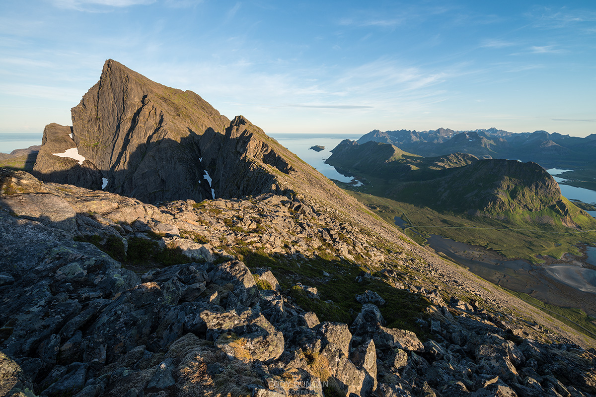
Once at the edge of the ridge, continue to make your way up the mountain. The trail is not always clear, fading from time to time and sometimes wandering off to the right. Don’t worry about trying to always remain on the trail, just keep going up.
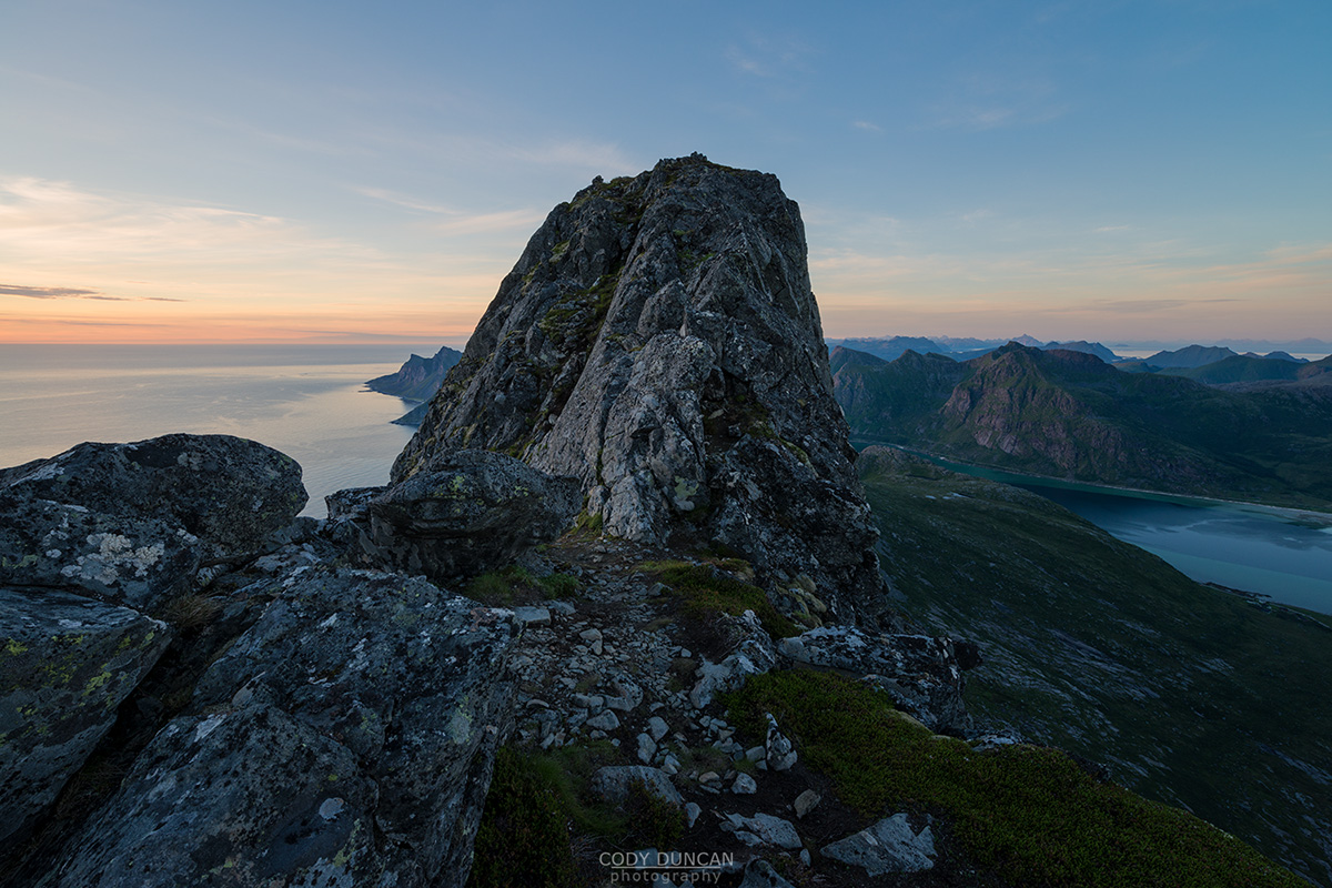
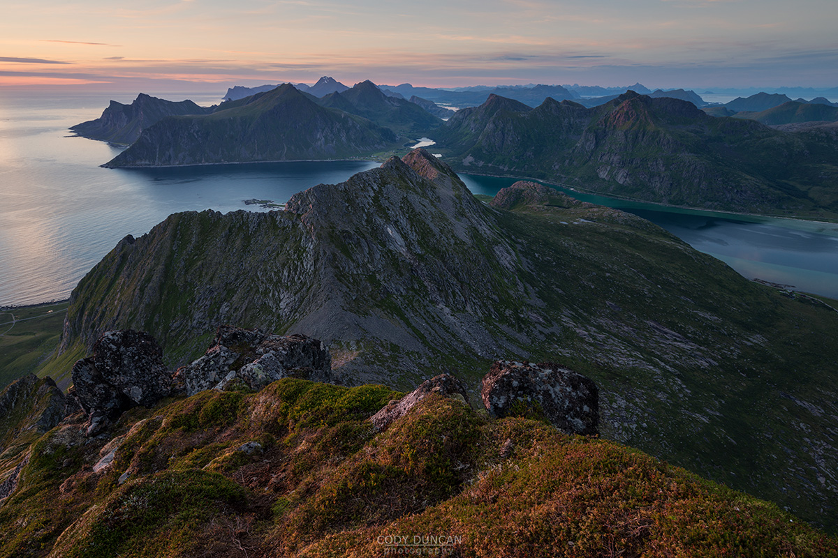
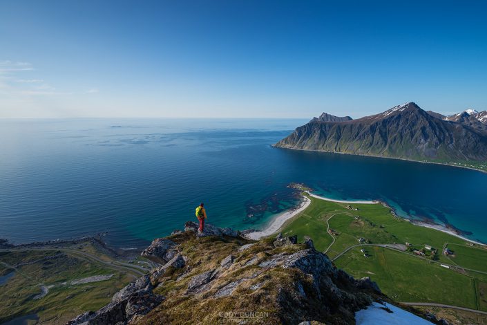
Eventually the grass begins to thin and the route crosses the first of a series of boulder fields. There is technically a semi-worn route through this area, though it will not always be clear. Keep going up. Nearing the summit, the ascent gets slightly steeper for a moment before it begins to flatten out. If you have kept to the correct route, you should arrive at the summit ridge a little to the right of the true summit. Stop here and enjoy the view over Stortind.
To reach the final summit, you must cross a short, narrow and exposed passage before making a small climb over the rocks to the top.
Camping
There are no suitable locations for a tent on the summit.

