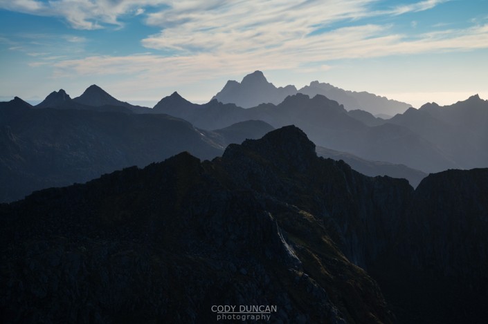
MERRAFLESTINDEN HIKING GUIDE
Sørvågen, Moskenesøy
537 meters
3.3 km
Easy
1.5 - 2 hours
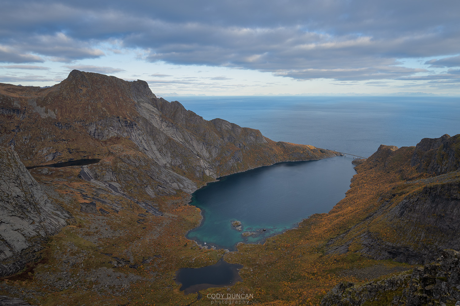
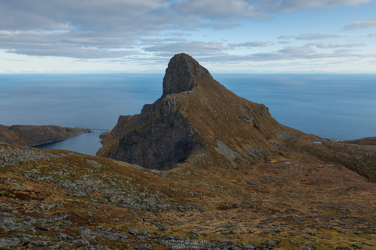
Merraflestind is the easiest summit to reach in the Sørvågen area. A good trail without any overly steep ascents finishes with an easy ridge climb to the summit of this small peak. While not much as a day hike itself, it can be visited en-route to or from Munkebu hut – which skips some most of the boggy sections of that trail.
Getting There
The trail is located in village of Sørvågen, a few kilometers before the end of the E10 in Å.
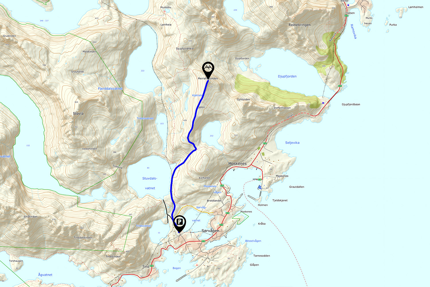
The trail begins on the north side of the lake Sørvågvatnet (the large lake in the middle of Sørvågen). There are trails approaching from either side of the lake, but the best parking is on the west side of the lake, so I will provide directions for this.
Driving into Sørvågen heading west (in the direction of Å) you will pass lake Sørvågvatnet on the right. Look towards the waterfall at the far side of the lake, as this is where you will pick up the trail. Next, you will pass the large building of the school on your left. Shortly after this, you will see a white sign marked ‘Holmen,’ just before a small road on the right with a bunch of mailboxes on the corner. Go right on this road (not towards Holmen, which is left). After several hundred meters, there will be a fork in the road, continue right, and you will see the large parking area. Park here. Parking fee as of 2019.
Take the pathway next to the building at the end of the parking area and follow it towards the back of the lake. As you near the waterfall, you will see the trail. Cross the small bridge over the river and continue up the hill.
The trail
From the parking lot take the pathway along lake Sørvågvatnet before climbing the rocky slab towards the waterfall. Descent down towards the right, then follow the trail up the gully towards lake Stuvdalsvatnet and continue along the east side of the lake.
Until now, the route has been part of the Munkebu trail. After 1.25 km, you’ll see a brown cabin up the hill towards your right. A small trail turns right off the main trail, with a sharp, pointy boulder just a short ways off. Take this small trail into the forest. If you have continued along the main trail and reach the lake shore, you have missed this turn.
The single track trail now ascends through the forest before emerging in a small pass at 250 m with lake Moskenesvatnet below you. From here turn right and follow the trail as it ascends towards the rocky peak rising over the northeast side of the lake.
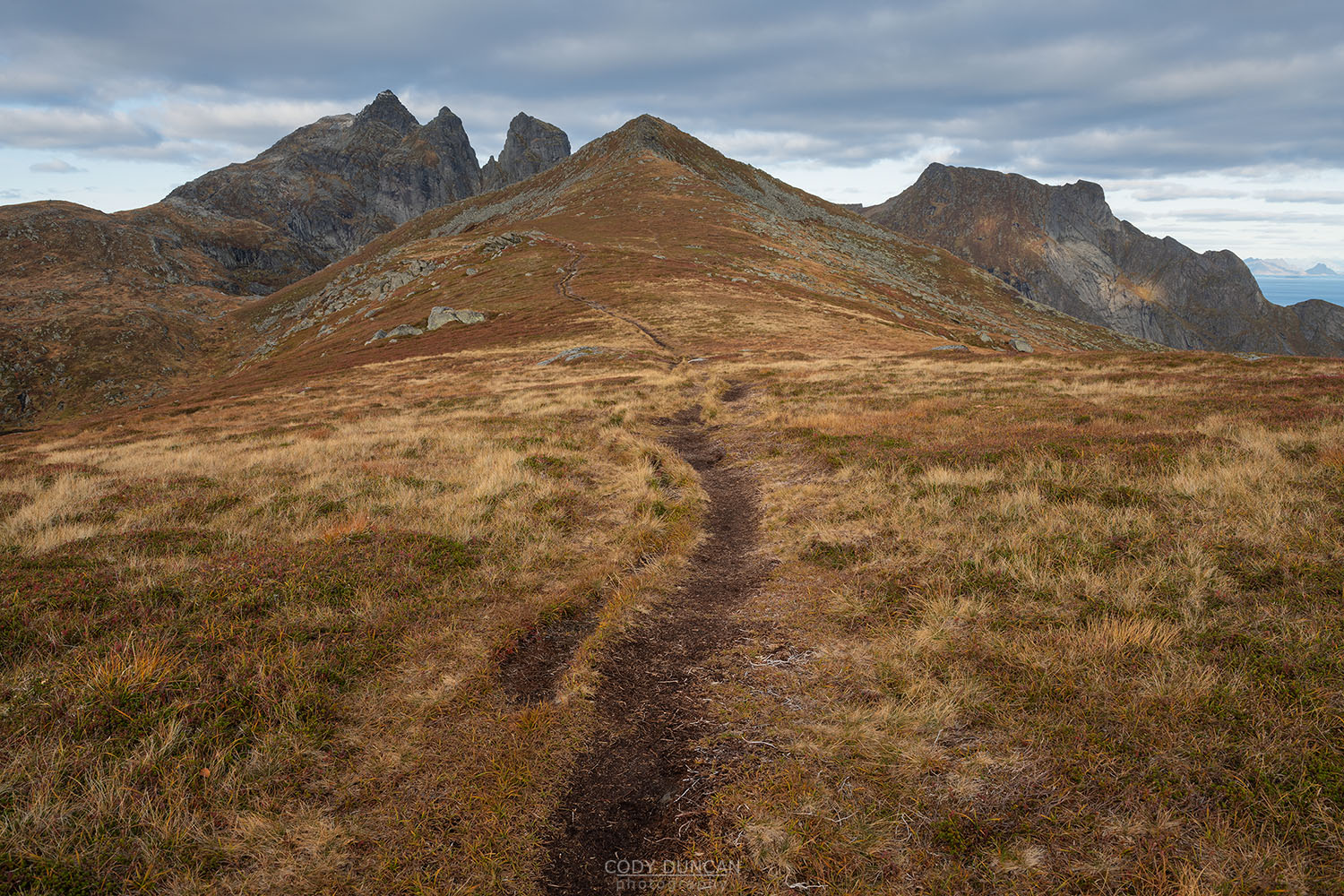
After arriving on the broad flat ridge of Kjølen, follow the trail straight ahead towards the gentle summit ridge of Merraflestind for the easy final ascent to the summit.
Camping
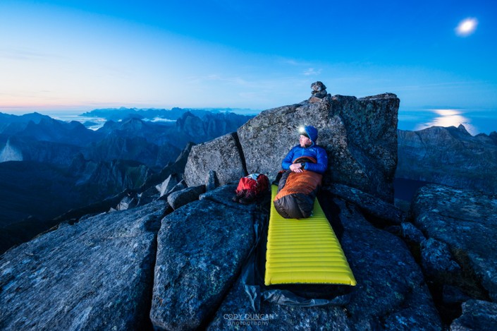
Plenty of camping options in the flat grassy Kjølen area just below the summit. No water.

