BLEKKTINDEN HIKING GUIDE
Kilan, Flakstadøy
622 meters
2 km
Moderate
2 hours
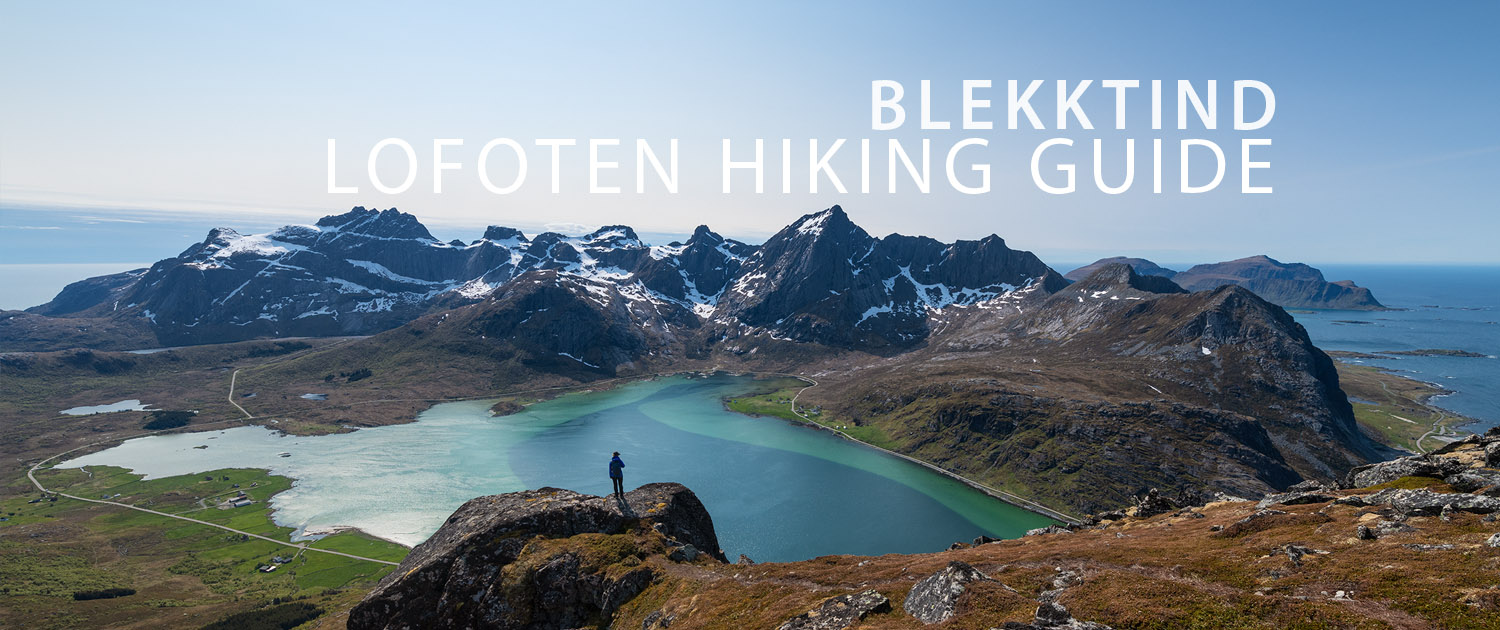
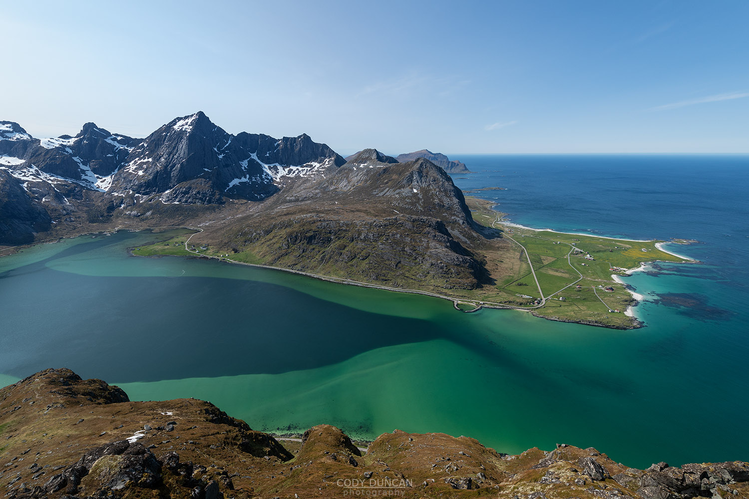
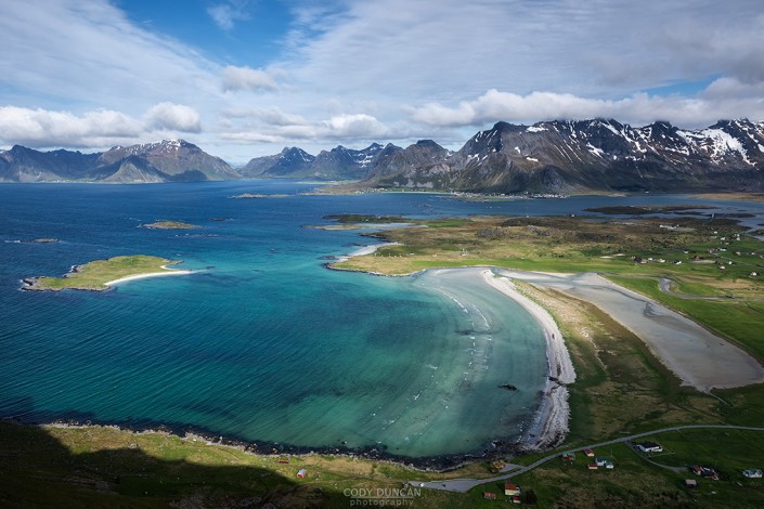
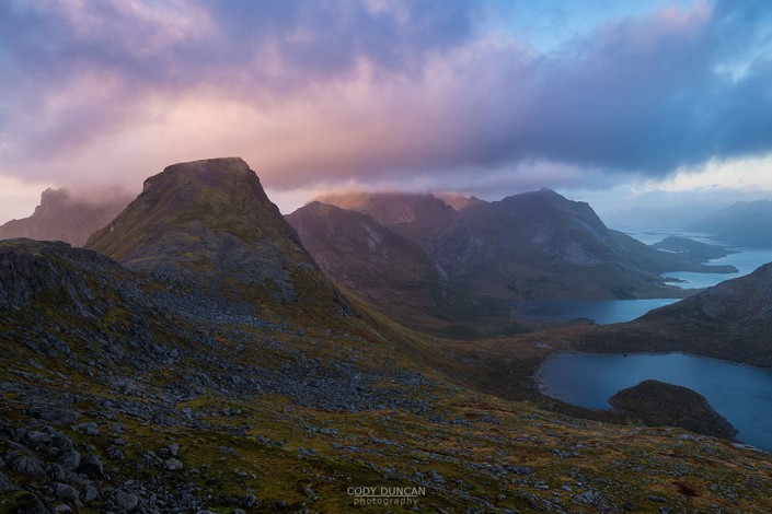
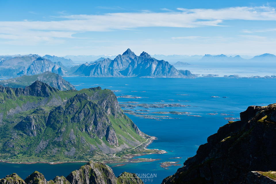
Blekktind is a moderately steep hike with a bit of bushwhacking and tricky route finding in the middle section before emerging from the trees and having a faint trail to follow to the summit. The views over Flakstadpollen are spectacular on a sunny summer day.
Getting There
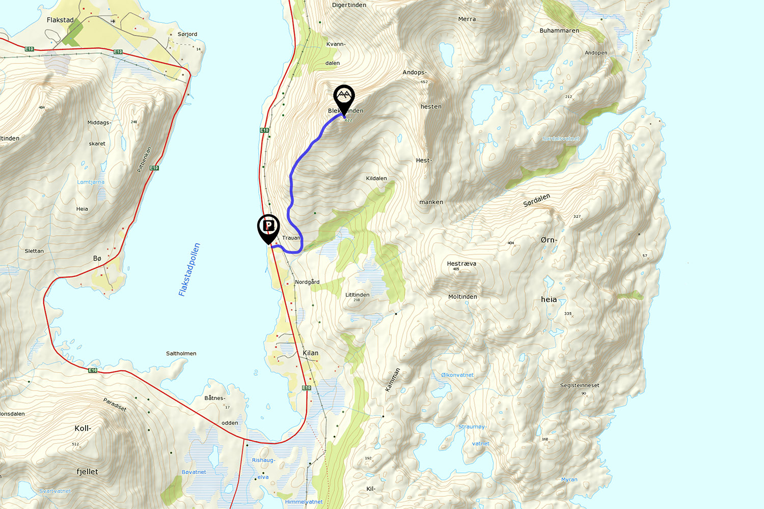
The parking is located along the E10 near Kilan, on the east side of Flakstadpollen. Park in the gravel parking area next to the sea directly opposite the red house and barn located on the mountain side of the E10.
The hike begins with a short walk up the driveway and past the barn, where you will see a trail leading into the grass and a sign marked ’Skogsstien.’ Shortly past this, you will cross an electric fence as the trail leads you to the right.
The trail
After crossing the electric fence, follow the trail to the right and then up into the trees slightly to the left as it approaches a small creek (do not cross the creek). Follow the sheep trail as it heads uphill through the initially mostly clear terrain. There is a maze of sheep trails wandering the hillside so in general keep mostly towards the left, closer to the ridge.
Around 150 meters elevation or so it is likely you’ll loose the trail. For the next 100 meters of elevation, navigate through the trees, bog, and rock steps until ascending into open ground. There is no perfect way, but generally staying on the left will have thinner trees, though more potential for dead ends in the rock steps.
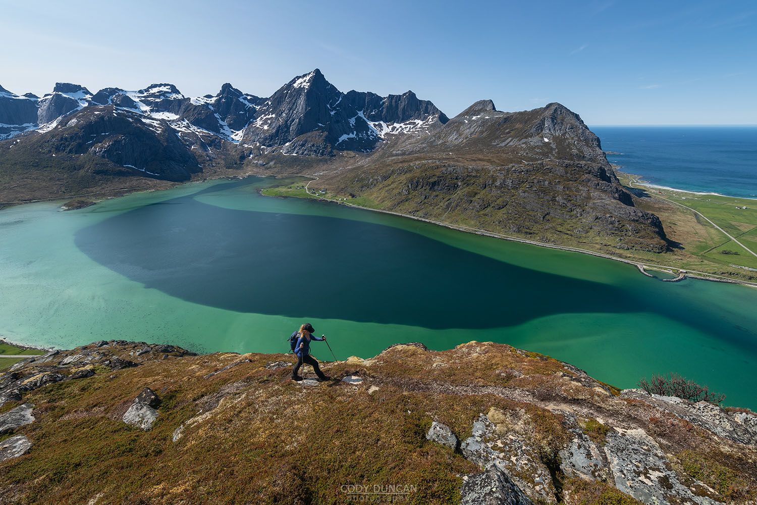
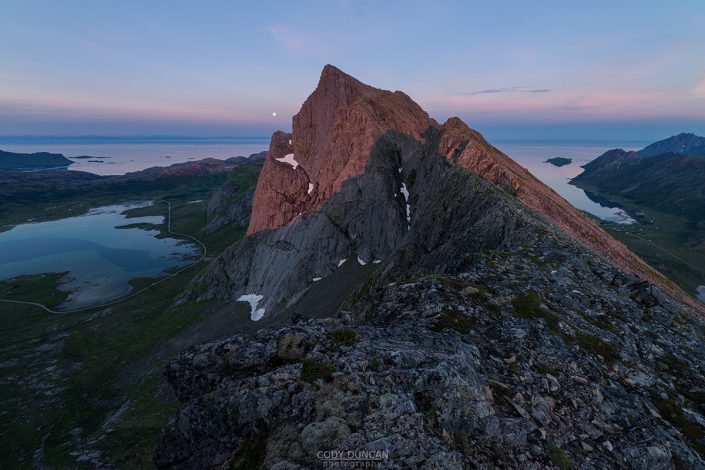
Once free of the trees, there is a faint trail to pick up again that continues to the summit. There are a couple steep ascents up some narrow gullies, but in general the trail is good and easy to follow. Nearing the summit at about 580 meters, the trail will make a traverse around the side of the mountain. Then it will meet a narrow section of ridge before a steeper rocky finish to the top, marked with a cairn.
Camping
Some of the best views are from mid-way up the mountain between 300-400 meters elevation, with multiple flat ledges suitable for camping. No water.
A small tent could be squeezed on the summit, but not ideal. No water.

