FESTVÅGTIND HIKING GUIDE
Henningsvær, Austvågøy
541 meters
1.5 km
Moderate
1.5 - 2 hours
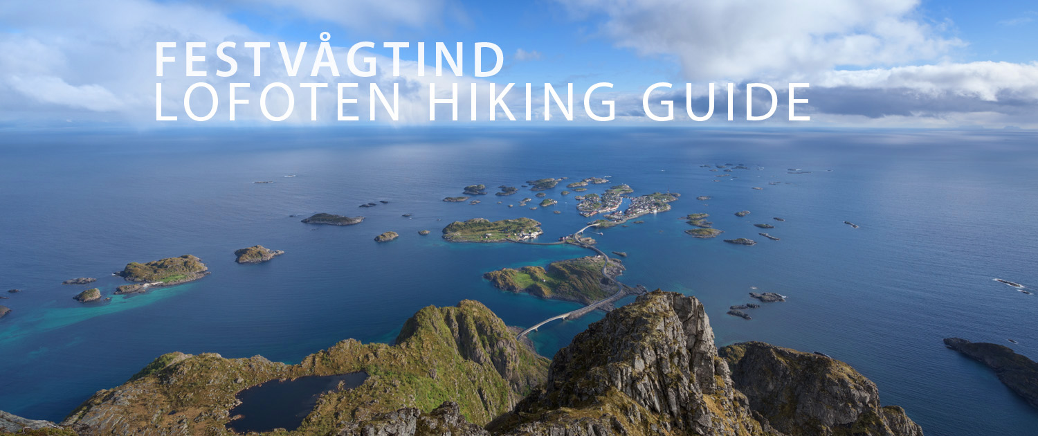
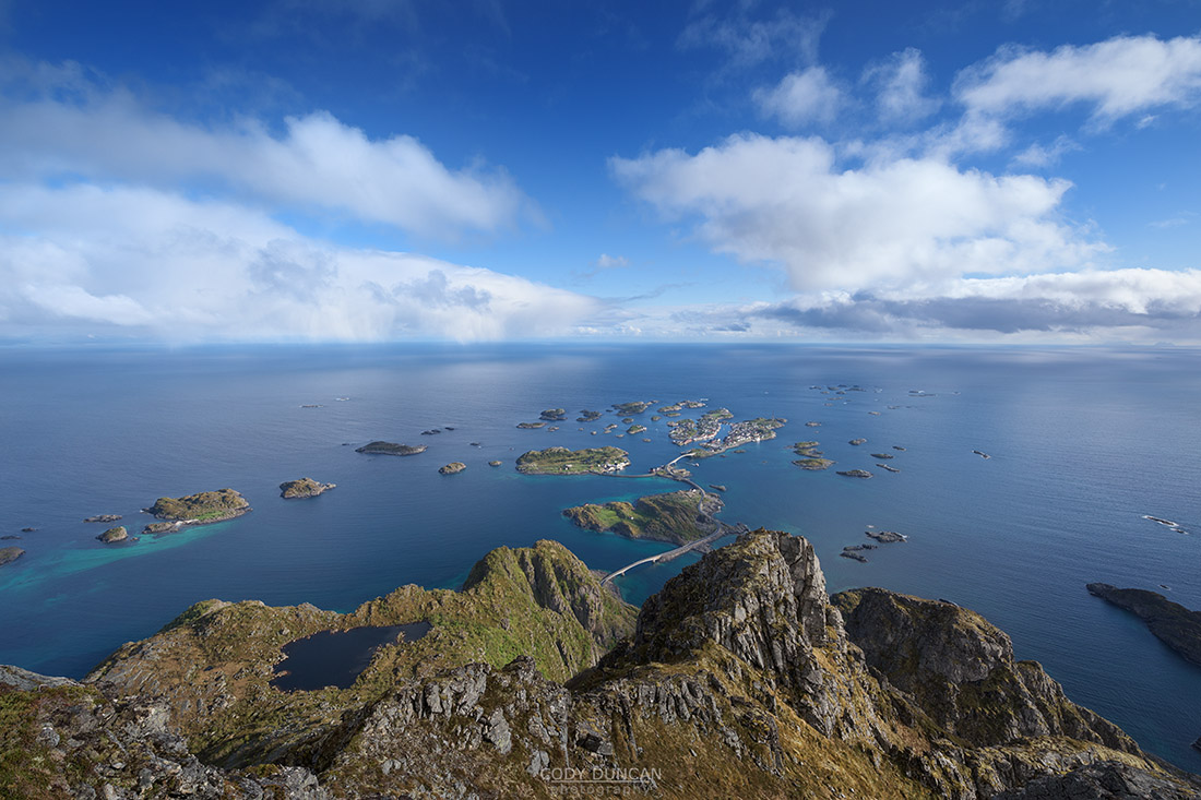
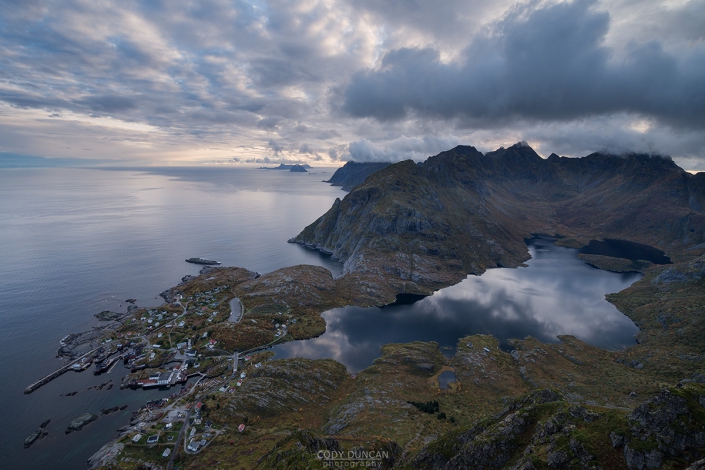
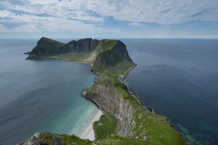
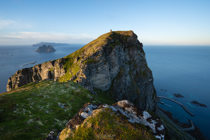
Festvågtind is one of those peaks that seems to rise directly from the sea. From the road, it looks impossibly steep, but the route to the summit wraps around the mountain and never becomes too steep (by Lofoten standards). Located just north of Henningsvær, the easily accessible summit provides fantastic panoramic views over the islands of the village below. Somewhat reminiscent of Reinebringen, Festvågtind’s views make for a rewarding finish to this short hike.
Getting There
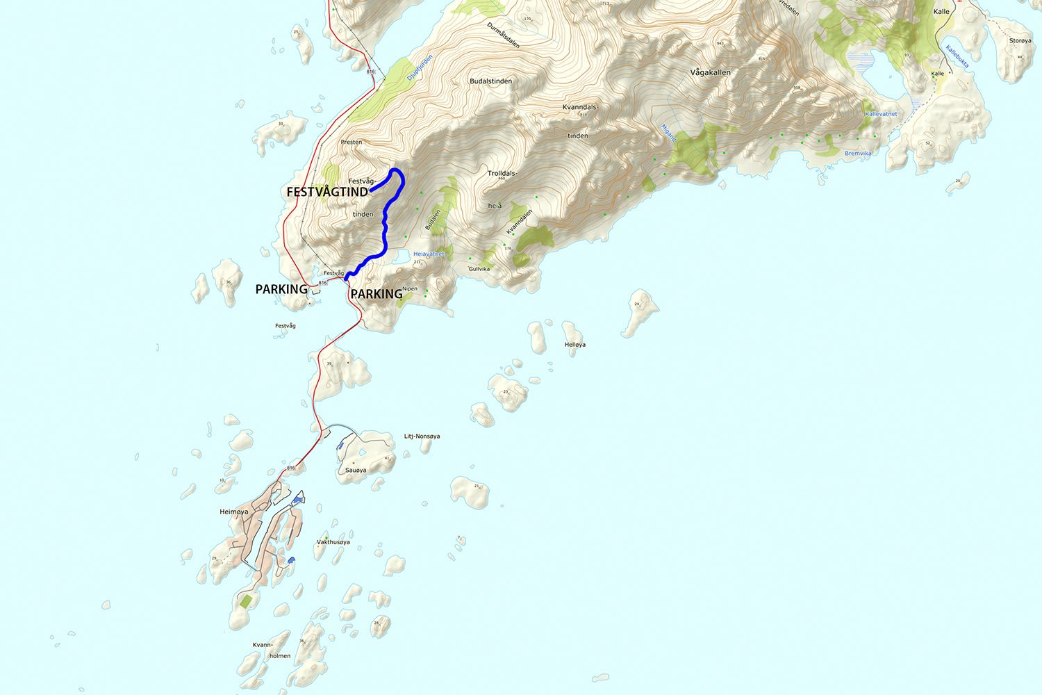
From anywhere on Lofoten, travel towards Henningsvær, located on the southern side of Austvågøy. Leaving the E10 and driving towards Henningsvær, after 5 km the road will make a strong left turn inf ront of some large buildings. Your first option for parking is here. Or, continuing along the road for another few hundred meters the road makes a strong right turn, Just past here will be a pullout on the right side, you can also park here.
If you parked at the buildings, continue walking down the road towards the rocky slope at the back of the strong right turn in front of you. If you parked at the second pullout, walk back along the road. The trail begins by ascending the rocky slope on the mountain side of the right turn.
From the road, you will see an obvious and worn trail coming out of the bushes. Take this.
The Trail
Leaving the road, the trail heads into the bushes and towards a large boulder field. You will initially pass the foundation of an old building before heading across the rocks. The trail can be easy to lose here, as there are several ways one can go. Just keep heading up, towards the center of the the hill in front of you.
After crossing the last of the big boulders, you should be back on the trail and heading up the mountain. After a short while you will come to a split in the trail – stay to the left. The other route goes to a lower view point.
The trail gets closer to the cliffs on your left as you gain elevation up the mountain. One the small pond is visible below to your right to trail will begin to wrap around the backside of the mountain, taking you more north. Here it gets a little steeper and a little muddy at times, but never too bad.
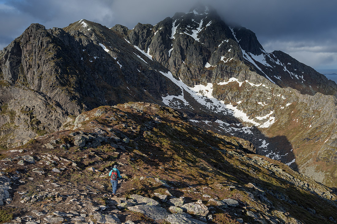
Though it might look like you will have some cliffs to climb, the trail keeps winding its way up the mountain side until you finally reach the ridge and can look across to the sea on the other side. From here, follow the trail left, back souths towards the summit. There are a few rocks steps where hands will be needed, but nothing exposed or very difficult.
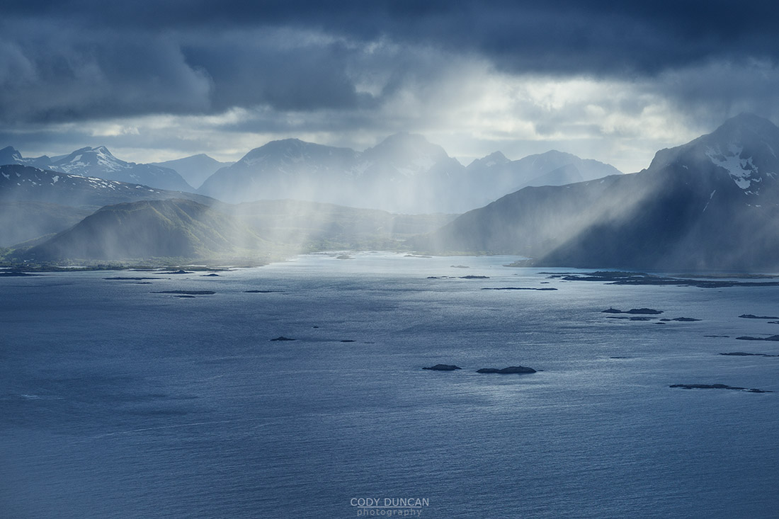
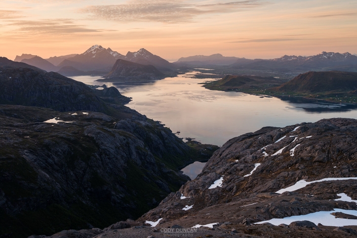
Reaching the summit, you will have fantastic views over Henningsvær, as the village spreads out across the small, rocky islands. If the weather is clear, then also enjoy the views towards Stamsund on your right, and across the Vestfjord to the Norwegian mainland.
Camping
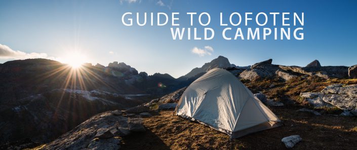
There are a few camping possibilities for a small tent along the ridge, just before reaching the summit. It might be a bit muddy here though and could be easier just to sleep in the open on the slightly sloping heather. No water available after the small pond 1/2 way up the route. The ridge is exposed to any weather.

