HÅEN HIKING GUIDE
Sørland, Værøy
438 meters
3 km
Easy
1 Hour to Top
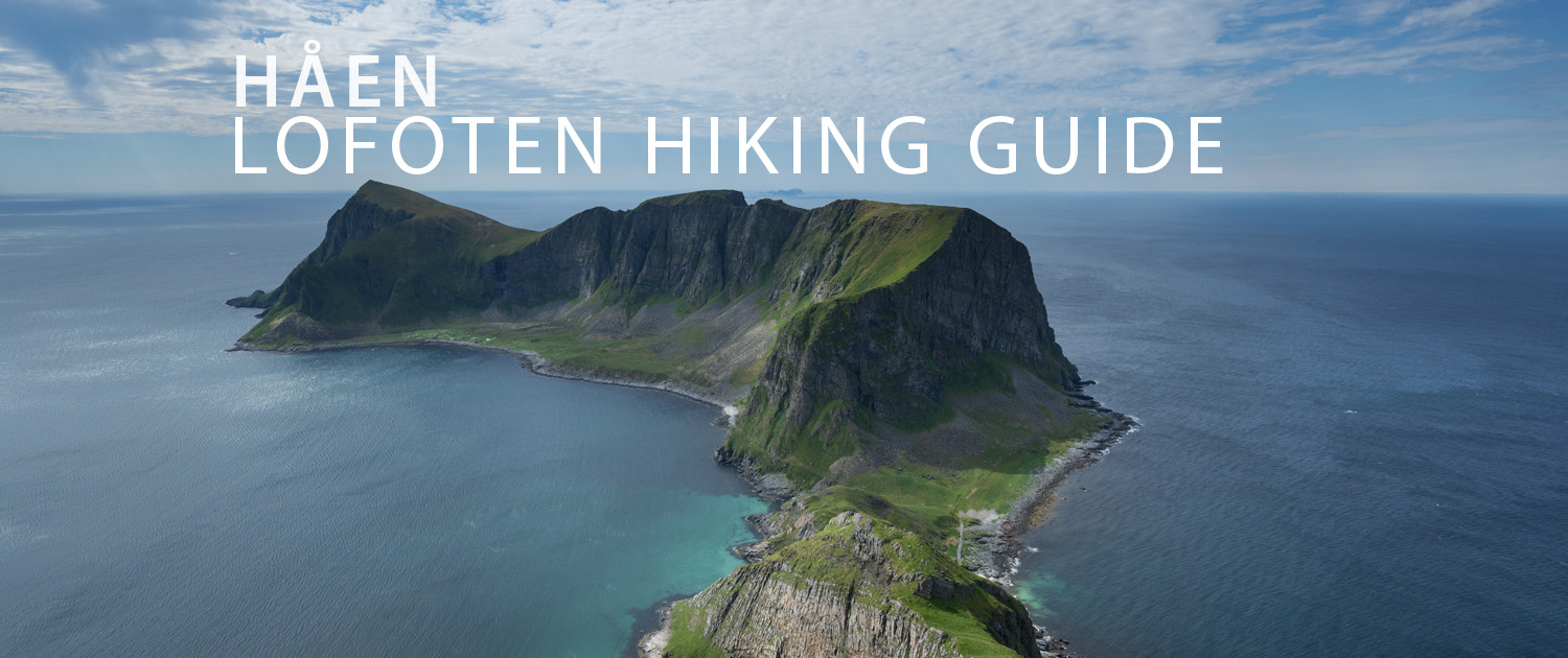
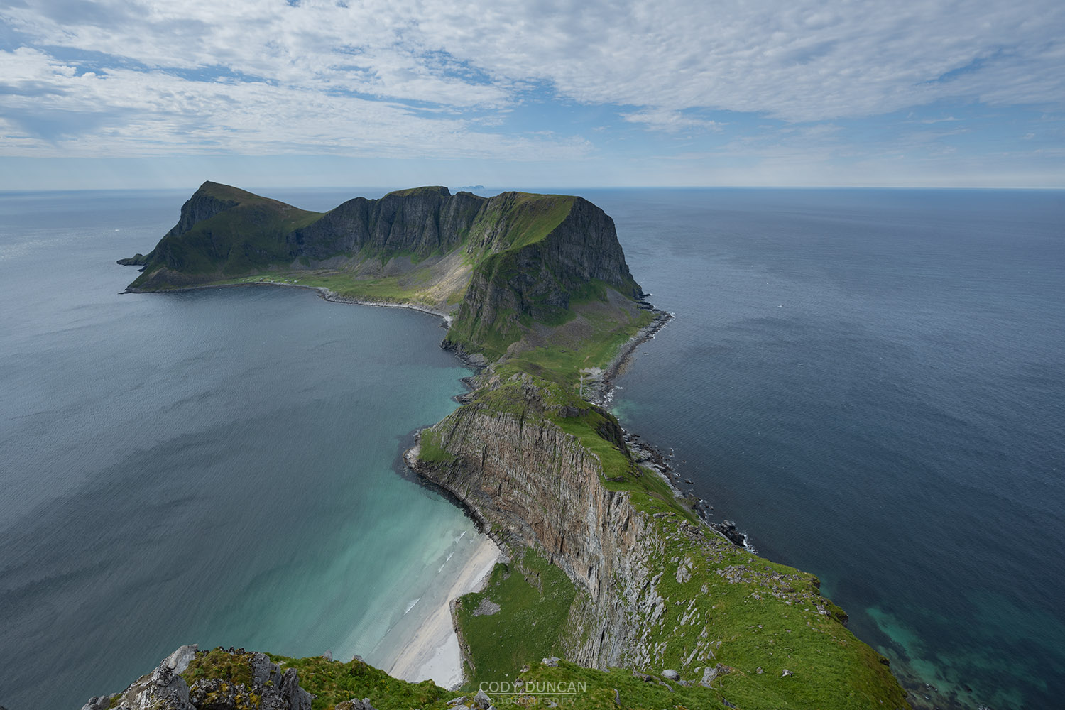
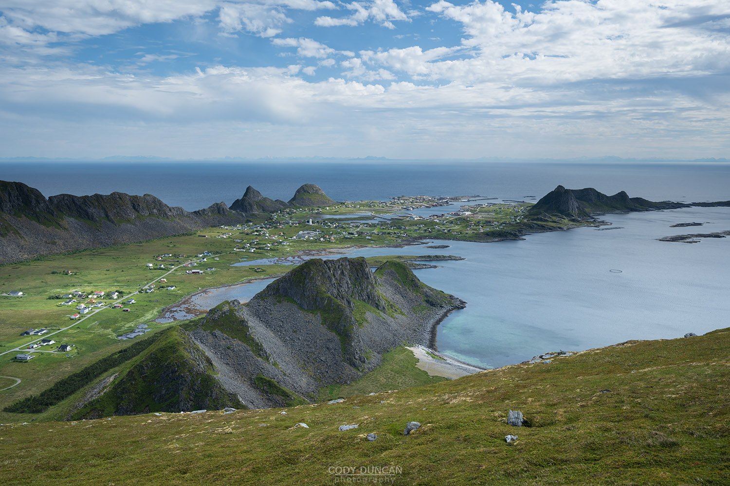
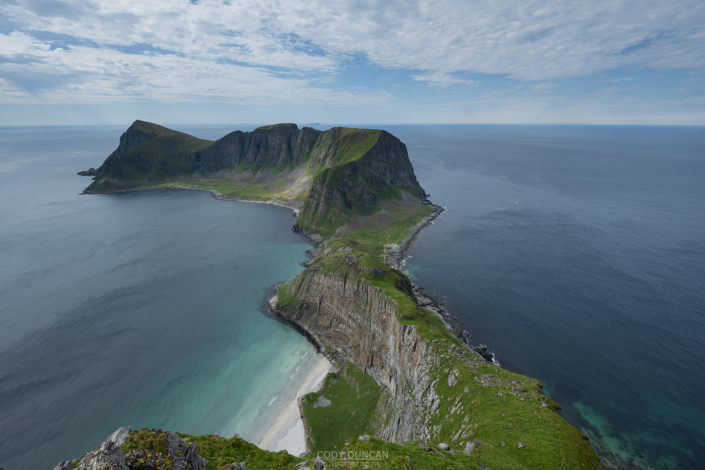
If you are traveling all the way to Værøy, it is probably to hike Håen, the island’s most iconic view. The hike can be an easy walk mostly spent on the old military road, or more interesting mostly trail options are possible as well for those looking for a bit more adventure. Either way the view from the summit is well worth the short hike for this unique view.
Getting there
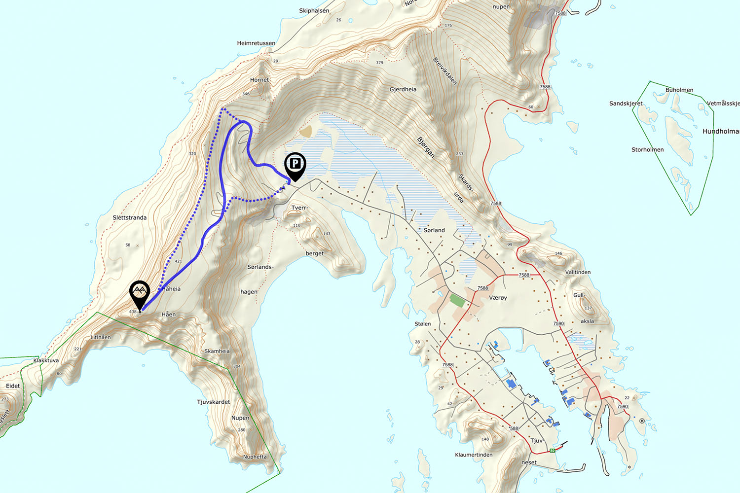
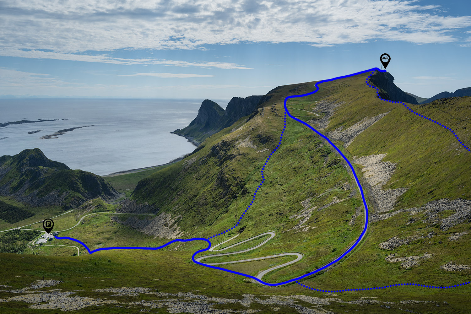
The parking for Håen is located in the top of the valley north of the main village of Sorland.
Park next to the (blue) buildings.
The Trail
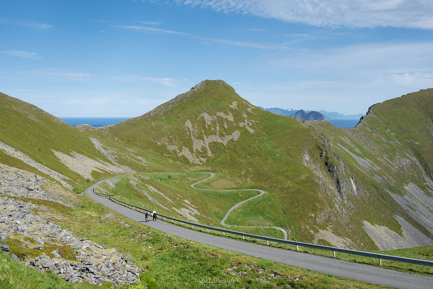
From the parking, follow the sign posted trail on the left side of the building, heading in the direction of the roadway winding its way up the hill. The trail is clear and easy to follow as it ascends upwards. The trail passes two curves on the road as you ascend and you can choose to join the road at either of them. If you remain on the trail, you will finally need to join the road at its final 3rd turn at about 160m elevation, before it heads southwards, straight for Håen.
Once on the road it is a further 2.2 km of mostly easy walking. You can stay on the road the entire way, or again, save a bit of distance by skipping another short section of turns before returning to the road. Continue towards the the large radar station on the summit. Once at the radar, you can pass through to the viewpoint on the far side, overlooking Måstad and the western peninsula of Værøy.
The above is the most straightforward way to the summit. For those looking for more of a hiking experience, it is also possible to reach the summit mostly on trail which follows the ridge on the right side of the road.
Camping
No camping directly on the summit near the radar station. There are numerous camping options further back along the ridge, or heading out onto the large plateau before the summit.
No water available.

