HORSEID BEACH HIKING GUIDE
Reine, Moskenesøy
200 meters
4.5 km
Easy
2 hours
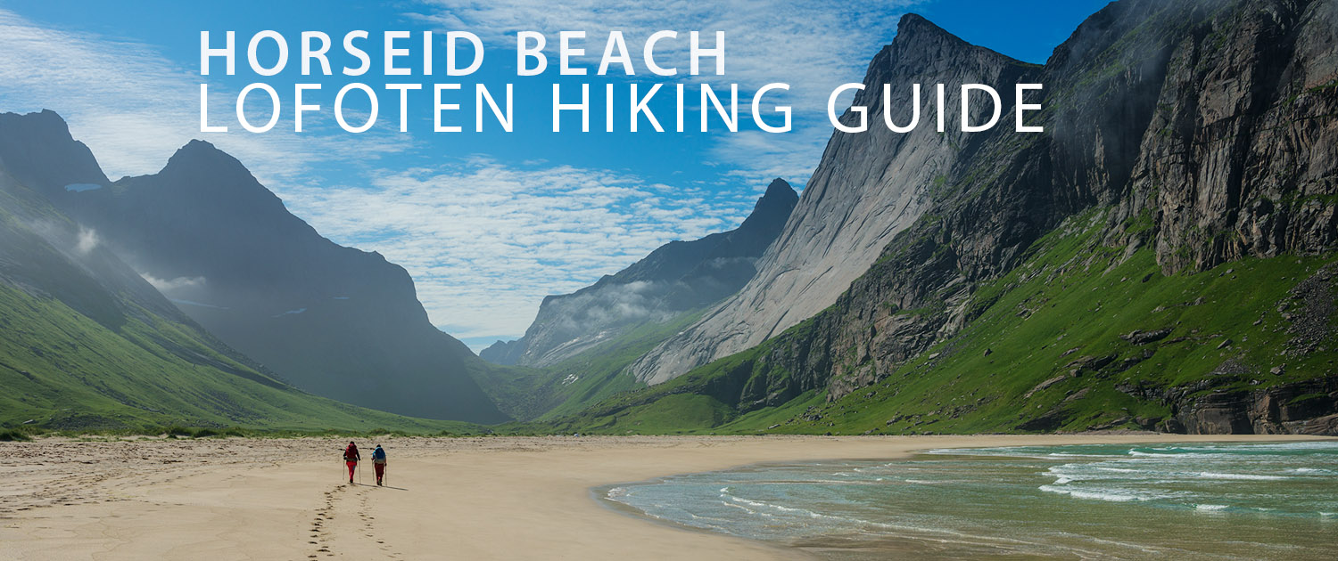
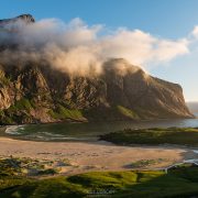
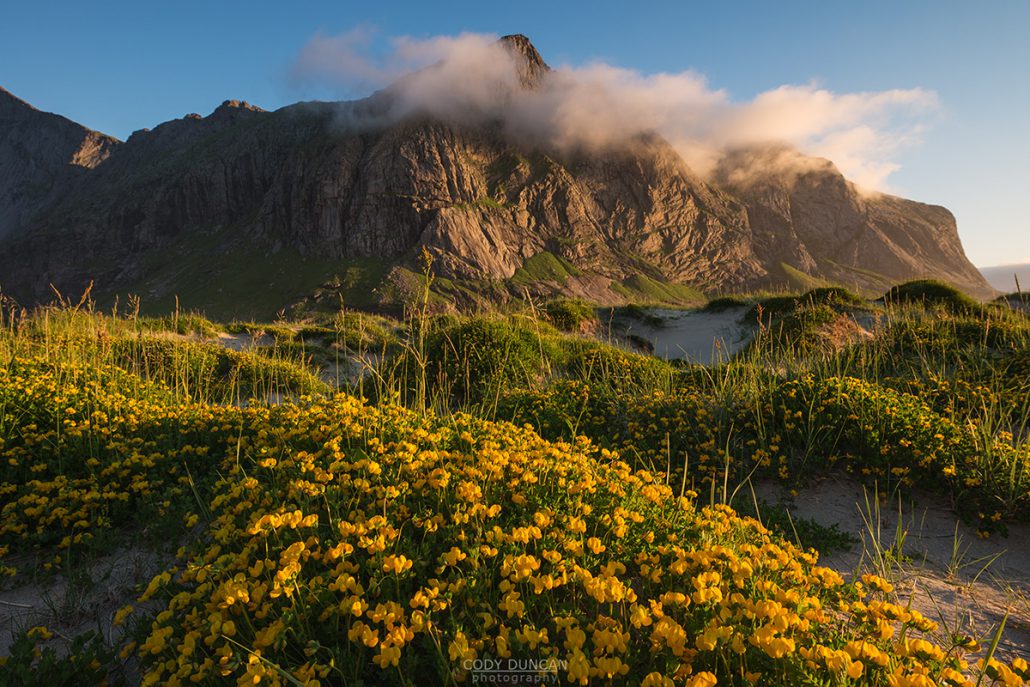
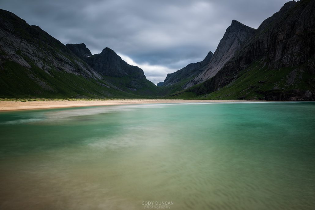
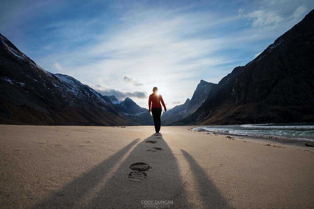
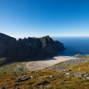
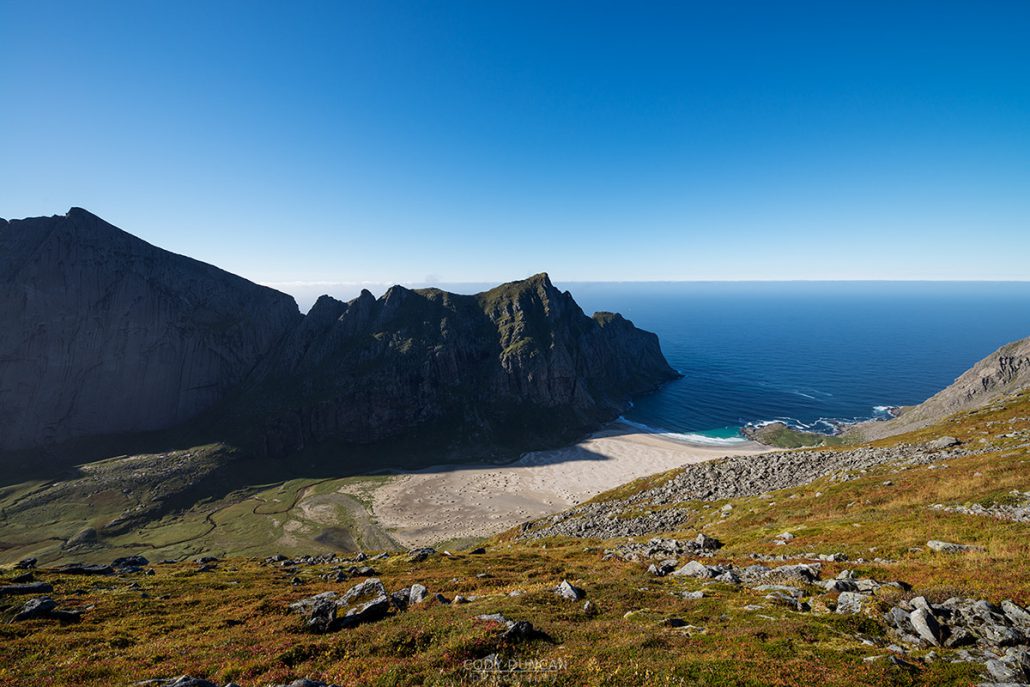
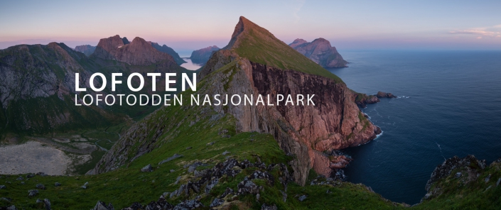
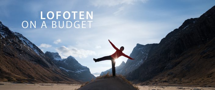
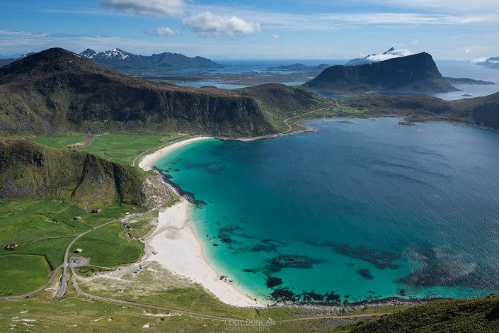
First seen as a long, narrow stretch of sand wedged between high mountain walls on the northern coast of Moskenesøy, Horseid’s isolation and wild beauty embodies nearly everything that makes Lofoten a world class destination. Though Horseid was the last of Lofoten’s wild beaches that I visited, it immediately became my favorite – despite waiting out 24 hours of bad weather on my first trip. The required 2+ hour hike after arriving by ferry in Kjerkfjord means Horseid receives far fewer visitors than its sibling beaches of Bunes and Kvalvika and is better suited as an overnight camping destination.
Getting There
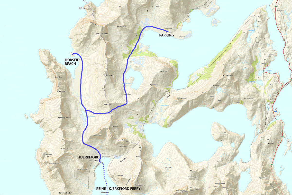
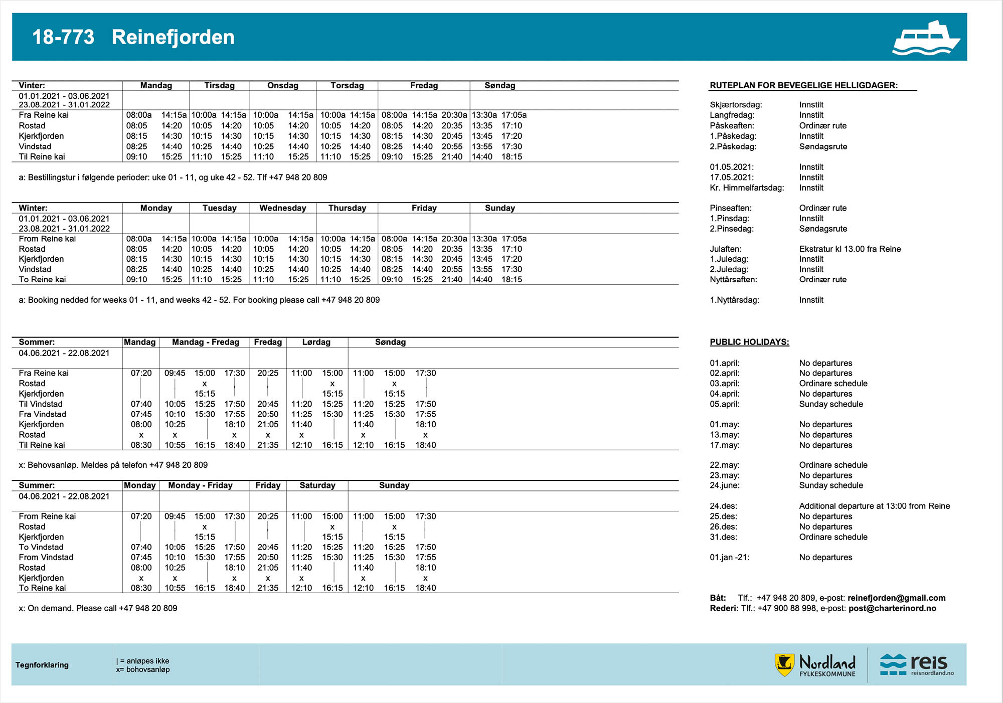
Horseid Beach is located on the northern side of Moskenesøy, in the western part of Lofoten. While there is a hiking only route to the beach, the easiest way to get there is to take the ferry at Reine. Take the same ferry as to Bunes beach, but you will exit at Kierkefjord/Kjerkfjord (pronounced roughly Sherk-fjord).
A new ferry is running from summer 2021, which is now located in the guest harbor, near the Circle K gas station, just beyond the small toilet building.
New parking regulations are coming to Reine by summer 2022. For visiting Bunes, paid parking is at the Ytre Havn, 40 NOK/hr.
The Trail
Walk towards the right after exiting the pier in Kjerkfjord. After some 100 meters through the village and past the end of the first set of houses you will pass a small stream and (hopefully) see a sign pointing towards a small trail on the left.
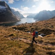
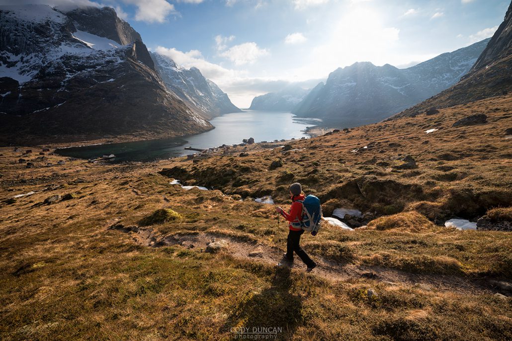
The trail is somewhat overgrown and grassy as it heads towards the pass between the two mountains in front of you. If the clouds are low, just keep going up, there is only one way. At the top, the trail flattens temporarily before descending a rather rocky, steep, and muddy hill towards the beach.
Once down from the pass, follow the trail towards the right side of the small lake. The trail here is boggy at times, but easy to follow. Keep going towards the beach. Once you reach the sand at the back of the beach, it will be about 20 minutes until you’re at the water.
Camping
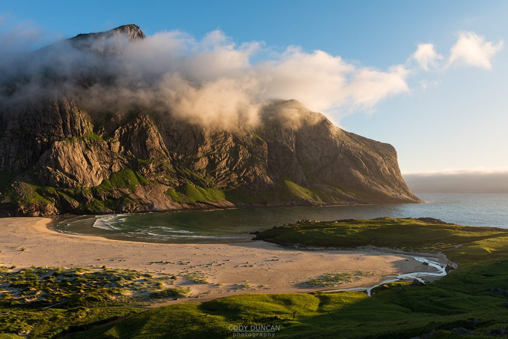
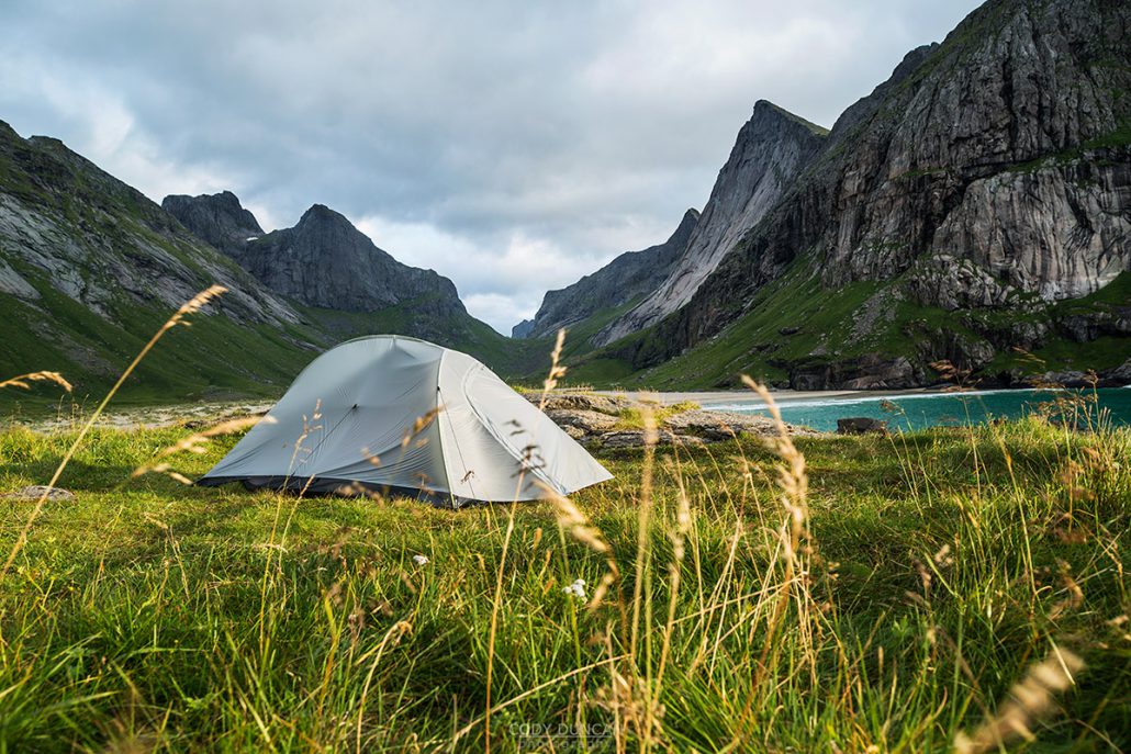
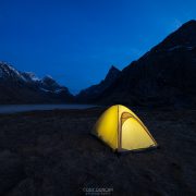
The best camping is found at the front of the beach on the right side, up on the small hill. There are several spots here that are more sheltered from the wind than others. This location puts you right near the edge of the sea, though it is the furthest part of the beach to reach.
If the weather is really bad, there are some sheltered spots hidden among the dunes about midway down the beach on the right side. Or alternatively, the dunes at the back of the beach are relatively sheltered as well.
Water can be a bit tricky. The biggest stream is at the back of the beach. Head up a ways just to avoid any salt water contamination. If you are camping at the front of the beach, the best source of water is the small waterfalls coming down from the mountains on the right. Hike up a ways until you find a spot where the water is flowing clean off the slopes; it can be a bit dirty if you try and take any from too close to the beach.
There are no supplies once leaving Reine, so be sure you have everything you need. Horseid can be a scary place in bad weather, so be sure to check the forecast.

