FLAKSTADTIND HIKING GUIDE
Flakstad, Flakstadøy
484 meters
1.75 km
Moderate
1.5 - 2 hours
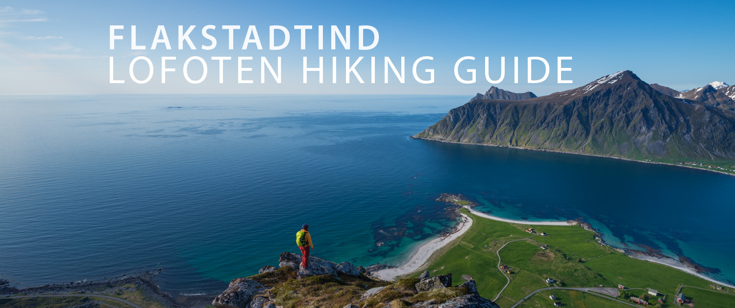
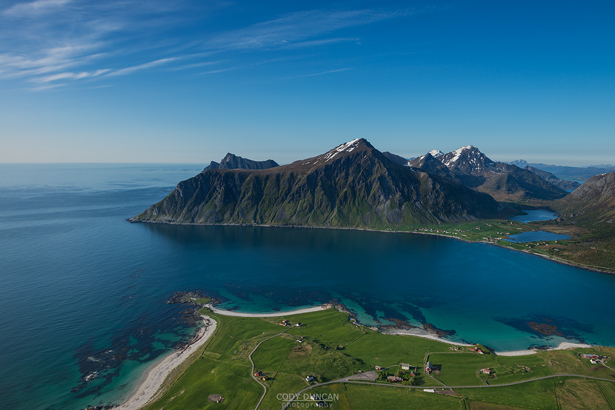
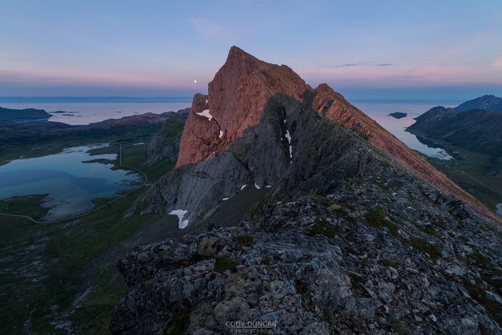
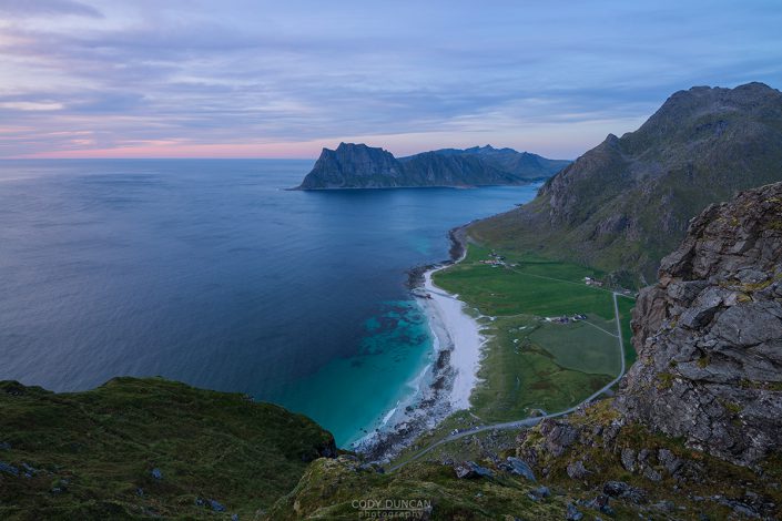
Flakstadtind is a small mountain peak rising above the Skagsanden beach and the village of Flakstad. What initially appears as a steep, rocky mountain is actually a fairly easy hike by Lofoten standards with a well worn and mostly dry trail. A mountain for locals on the weekends, you are more likely to encounter someone walking their dog than other tourists here.
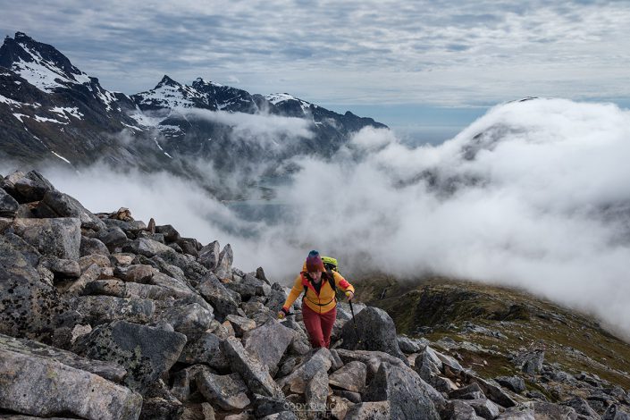
An easy and well worn trail makes a gentle ascent of the valley as it circles around the base of the mountain before arriving at a wind shelter. From here, the route becomes quite steep as it climbs the final 200 meters to the summit. Though it is mostly fairly secure feeling, there are a few moderately exposed passages near the summit.
Getting There
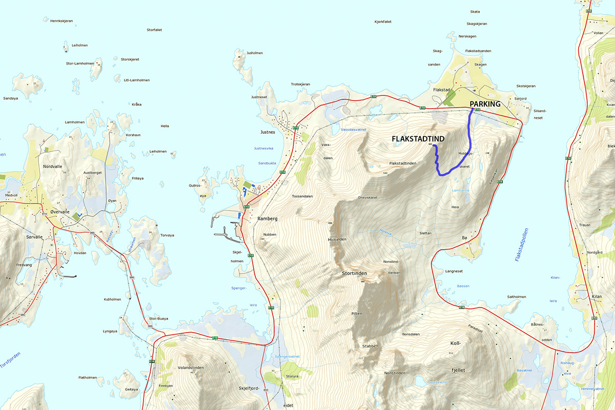
The trail to Flakstadtind begins at a small pullout on the E10 where the power lines are crossing the road, about halfway between the two turnoffs into Flakstad village, almost directly opposite the Flakstad church. There is room enough here for 2-3 cars to park. You will see a small information sign here as well. Cross the fence to begin the hike.
The Trail
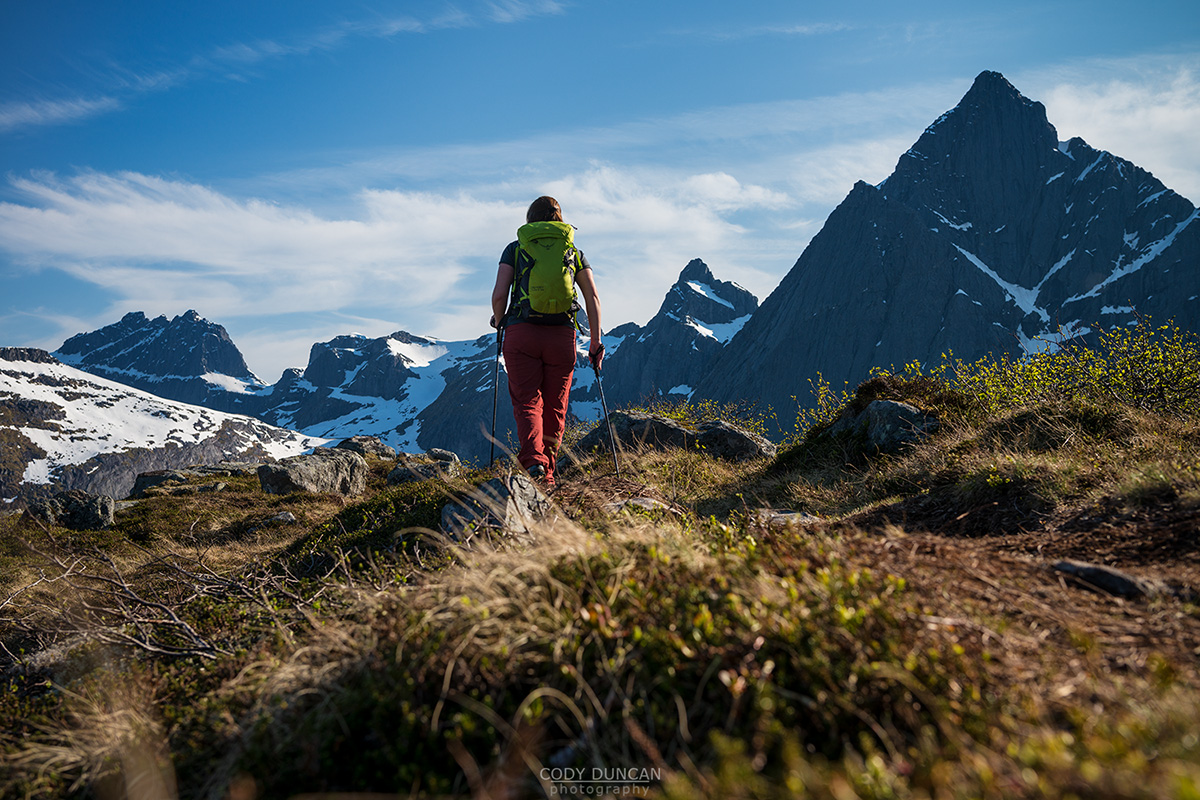
From the parking area, cross the electric fence and follow the obvious trail under the power lines and up the valley ahead of you. The trail is easy to follow and stays on the right side of the small stream. It does split from time to time as you begin to ascend, before eventually joining together again. Some routes are muddier than others, but each way will get you to the same place.
As the trail begins to flatten out, it starts to curve right (west) around the base of Flakstadtind. Soon you will come to a small shelter. Pass this and look for the trail leading up the mountain to the right. Now it gets steep.
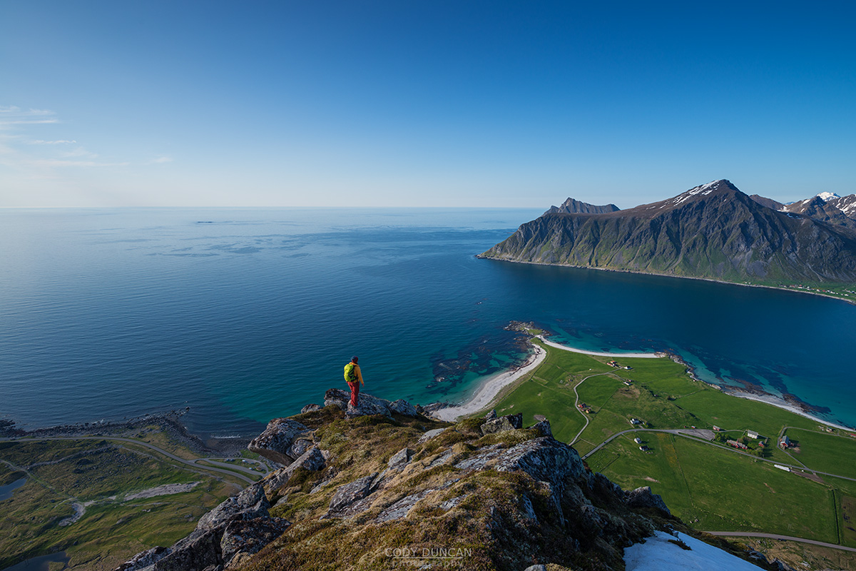
Past the shelter the trail begins to steepen and you head through some low trees before eventually leaving the tree line below. The trail here is always easy to follow, though there are some short wet sections in the beginning. The trail now steeply ascends the mountain. Towards the top there can be some loose rocks, and there is one traverse that might give pause to anyone with a fear of heights, though it is easy walking. After about 250 meters of ascent the summit will be reached. Enjoy the views over Skagsanden beach.
Camping
There is no suitable place for a tent on the summit. There are several options for camping in the area of the shelter before making the final ascent, with plenty of small lakes around.

