NORDLANDSNUPEN HIKING GUIDE
Breivika, Værøy
450 meters
2 km
Moderate
1.5 hours to Top
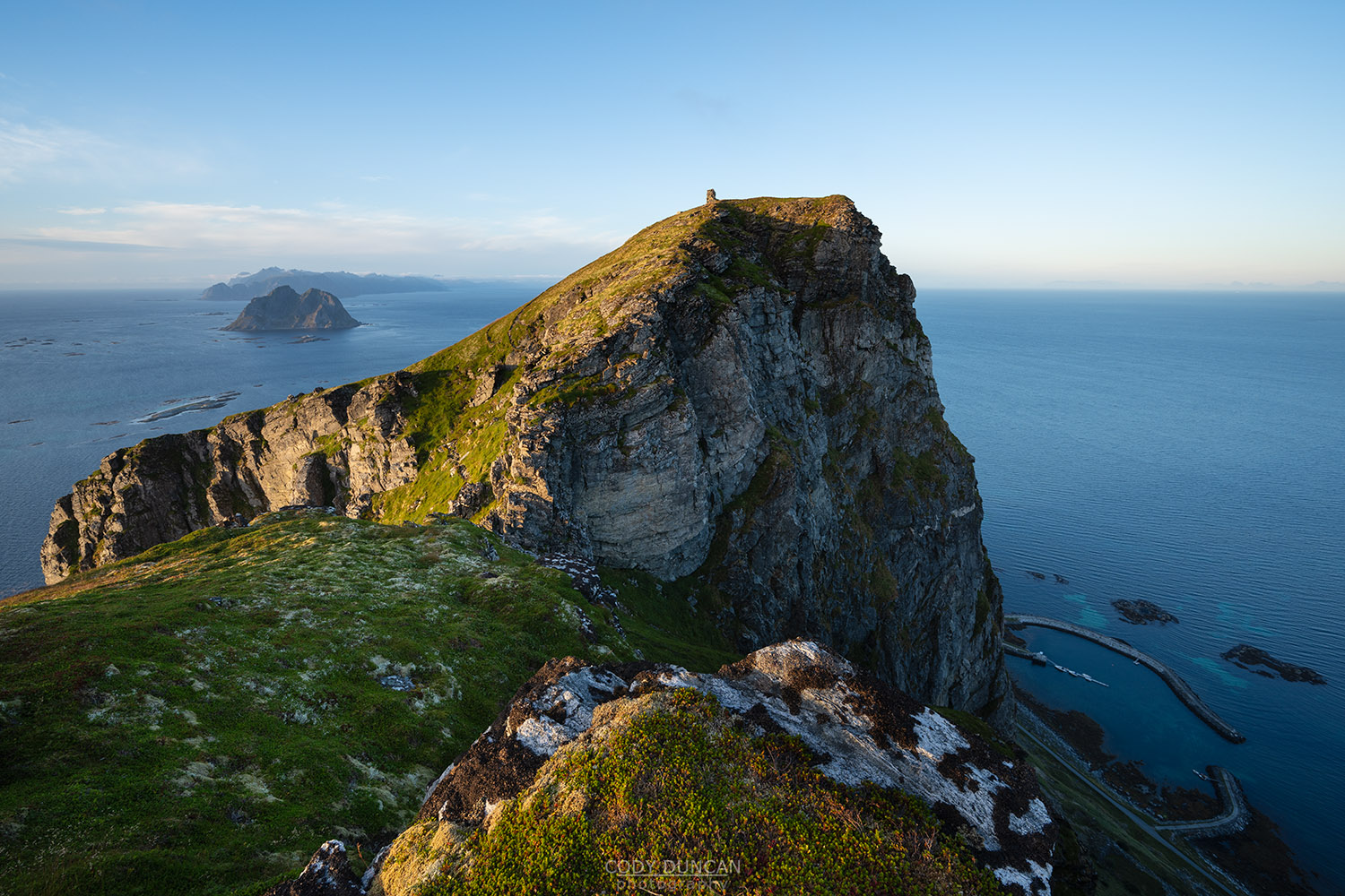
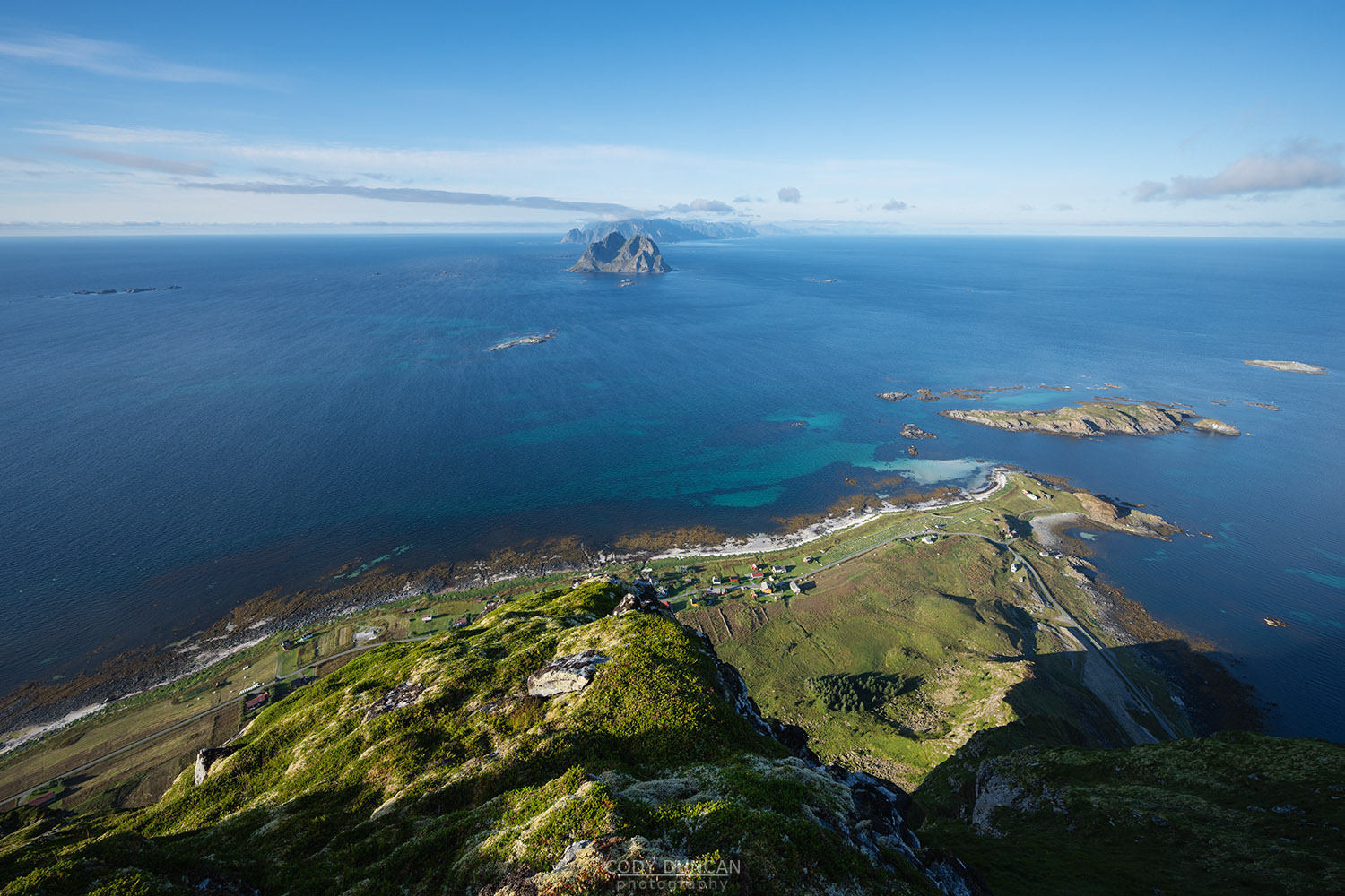
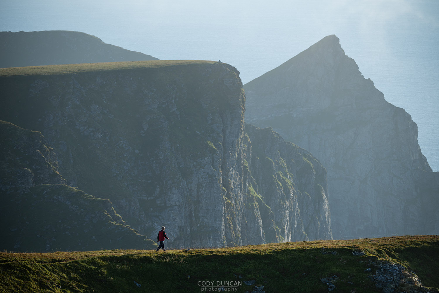
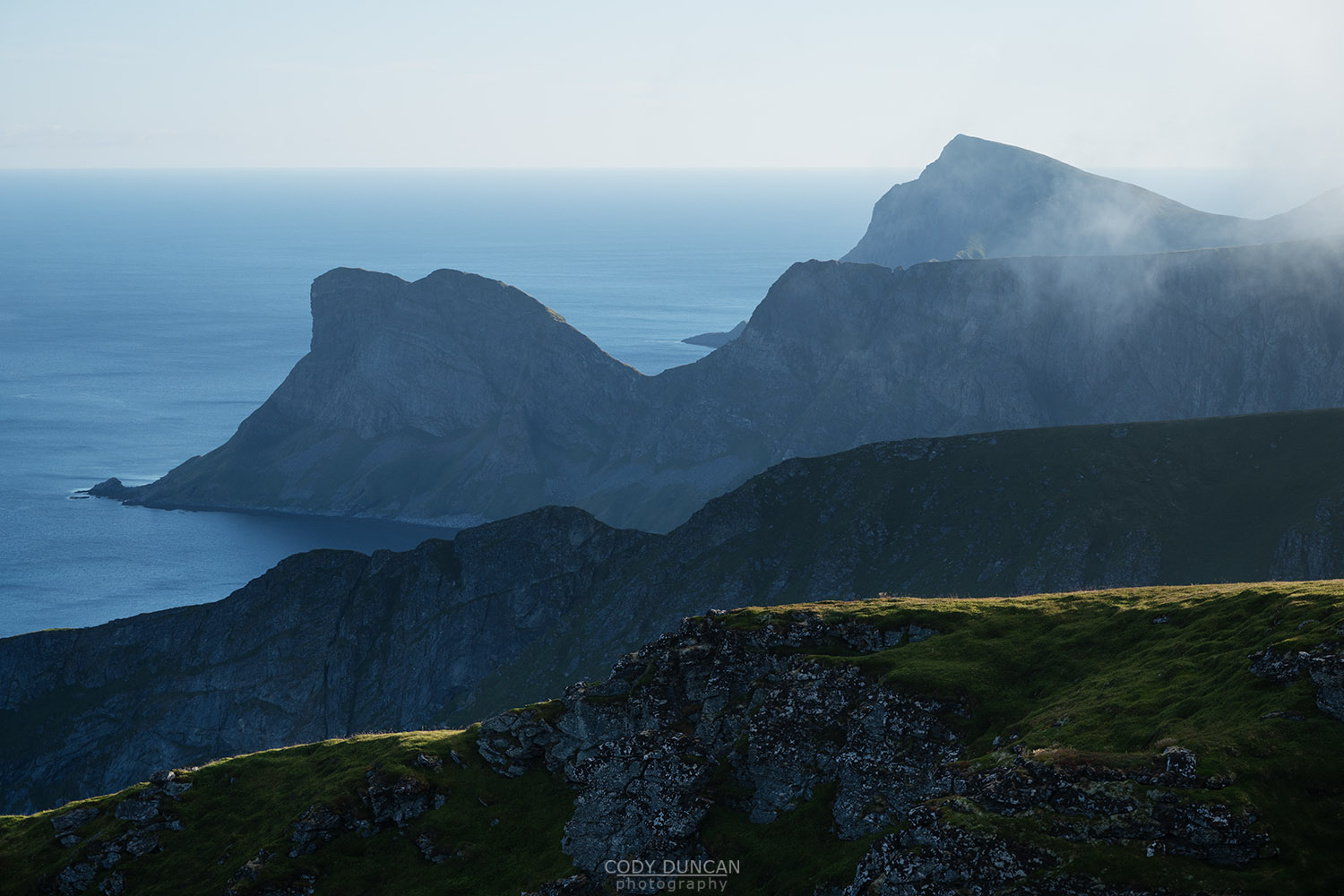
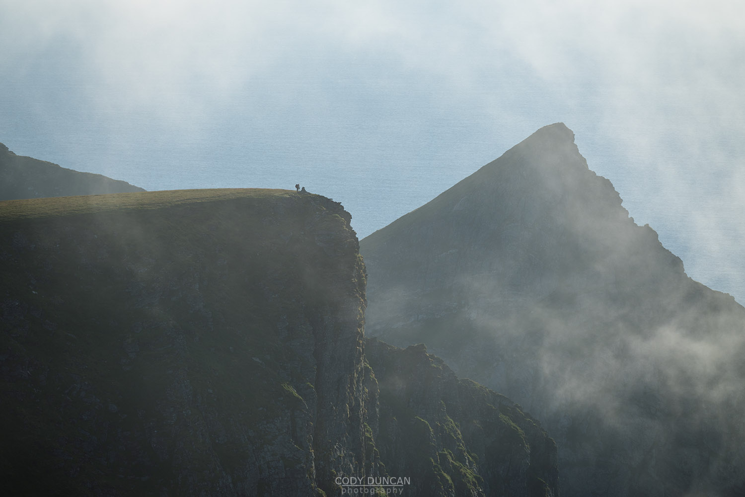
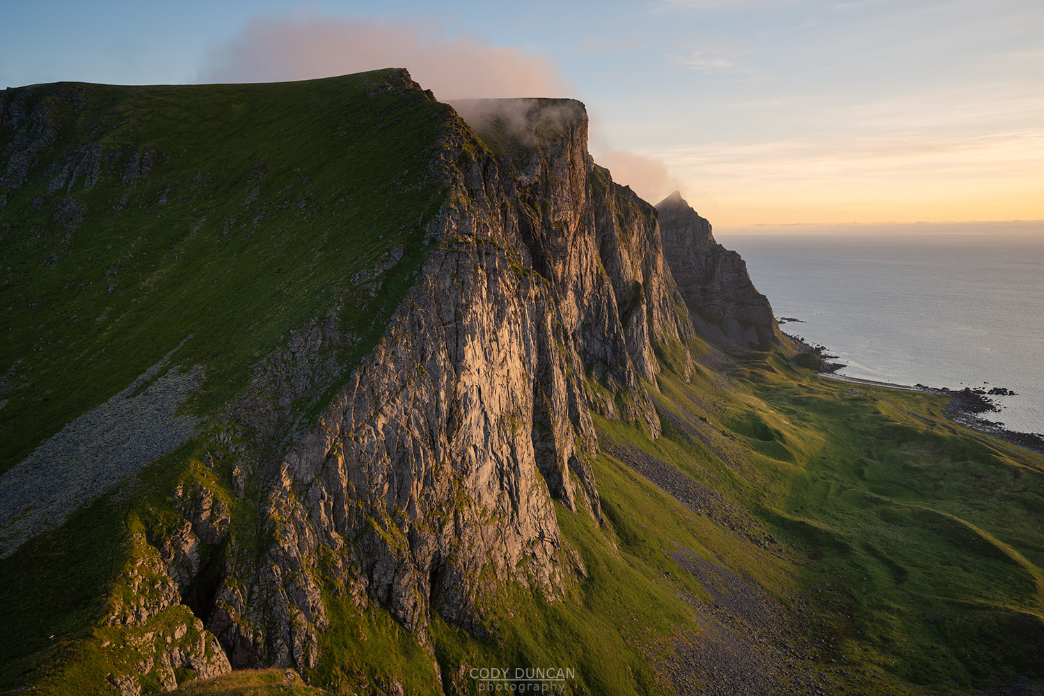
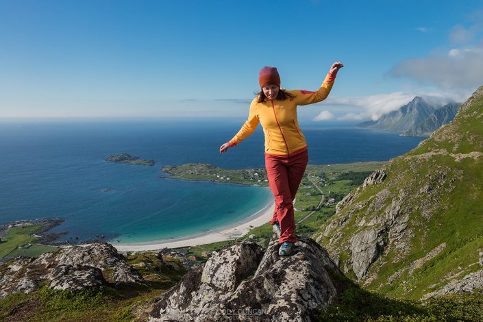
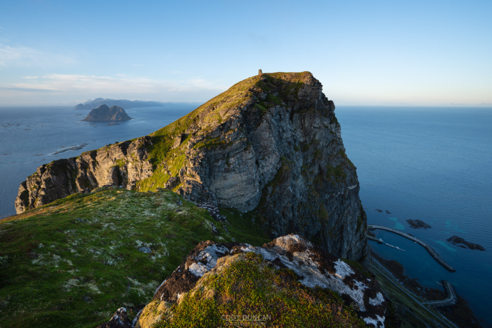
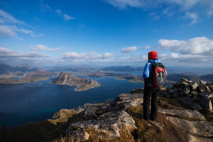
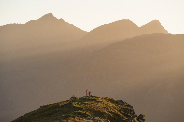
Rising over the northeast corner of Værøy to a modest height of 450 meters, Nordlandsnupen is the island’s highest peak. The hike to the pre-summit is relatively easy until a final chain-assisted passage along a narrow and exposed trail to reach the final summit, including a 2-3 meter rock step. From the summit the views are endless – looking east towards Mosken and the Lofoten mainland, or more impressively, west across the mountain ridges of Værøy to Måhornet in the far distance. Nordlandsnupen can be hiked on its own, or as the starting/finishing point including other peaks.
Getting there
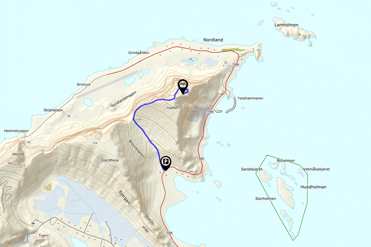
The parking for Nordlandsnupen is located on fv791 in Breivika, 2.1 km northeast from the Coop supermarket.
Park across from the red utility building. Room for 2 cars.
The Trail
The trail begins on the right side of the red building and the route will take you to the center of the pass ahead before climbing up the ridge to the right. There are several tractor tracks for the first 100 meters, keep to the track on the right – heading towards the right side stone wall a little ways up the valley.
Passing the stone wall, the trail takes you past a couple old ruins as you gain elevation. The trail is always visible and at times passes shares some old farm track. A little under 1 km of distance will be covered as you reach the ridge at 180m elevation. The intersection here is marked, with Nordlandsnupen continuing up the ridge to the right.
Continue up the ridge as the trail climbs at a moderate grade. The route continues upwards until it begins to level off on the summit plateau at around 400 meters. At 430 meters on the northeast corner of the plateau is a summit box for this pre-summit. You can see the large cairn of the actual summit just a short distance away.
What has been an easy hike so far now has one short technical section to reach the final summit. The trail descends along a narrow passage, chains installed for assistance. The trail passes the top of a narrow gully before reaching a 2-3 meter rock step which must be climbed with the assistance of chains. Beyond this, the hiking is easy again.
After passing the rock step, the trail winds its way around the north side of the peak before a final short ascent to the large cairn at the summit. Enjoy the 360˚ views.
Camping
The flat plateau of the pre-summit offers numerous nice locations for a tent.
No water available.

