KVALVIKA BEACH HIKING GUIDE
Fredvang, Moskenesøy
200 meters
2 km
Easy
1 - 1.5 hours
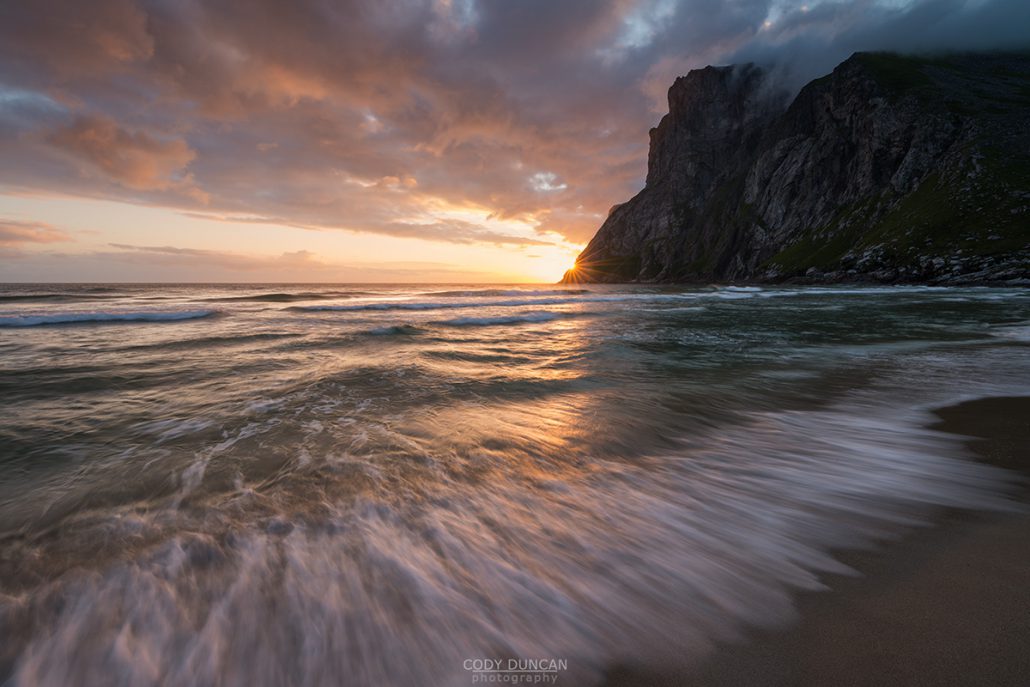
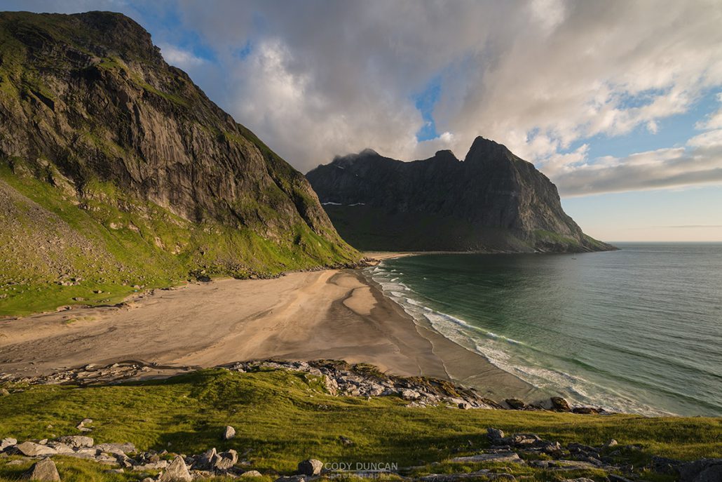
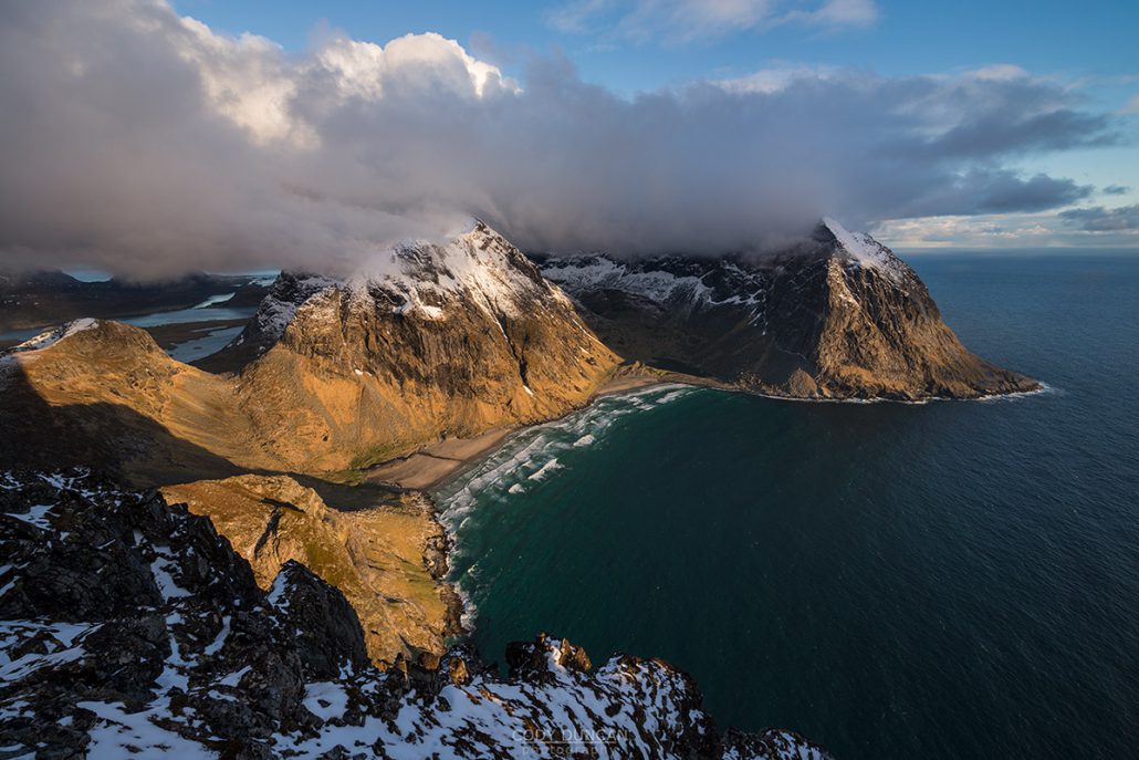
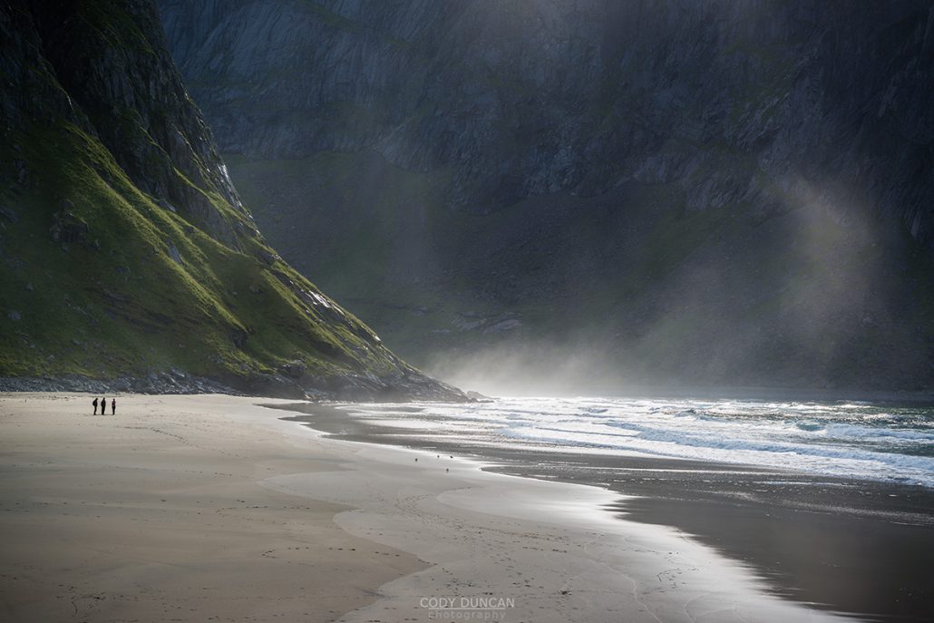
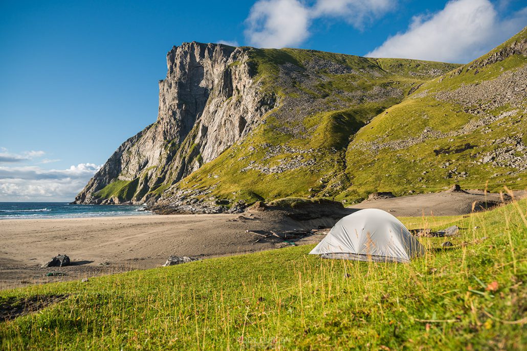
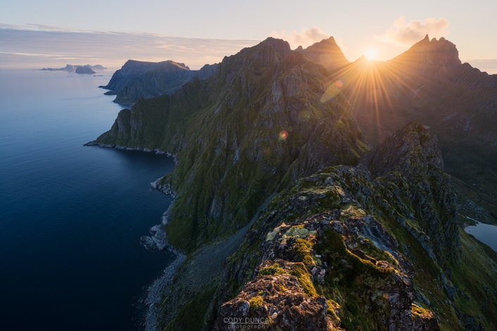
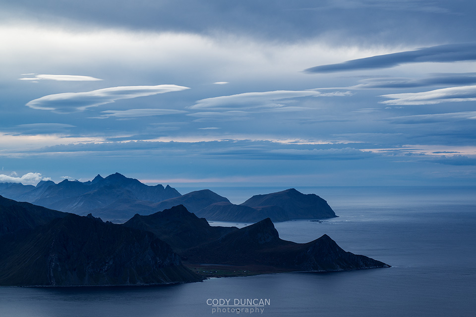
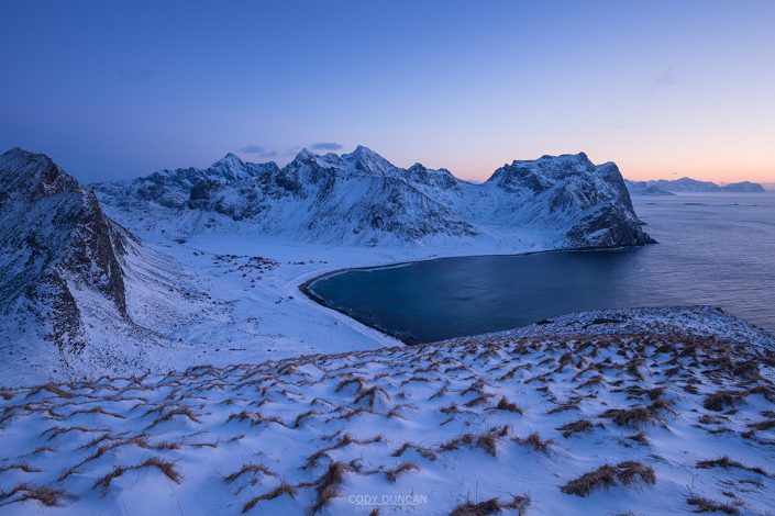
Located in an isolated bay on the northern side of Moskenesøy and only reached by foot, Kvalvika feels as though it could be at the edge of the world, not an easy hour’s walk. Here turquoise waves crash on golden sands and vertical cliffs rise into the clouds in a display of Lofoten at its best.
In the years since I wrote the first wrote this article, Kvalvika has become one of the most popular hiking and camping destinations on Lofoten. The parking area is far too small to meet the crowds, leading to daily traffic chaos all summer long as people illegally park along the (already narrow) road. And what used to be a quiet peaceful place to camp on a summer night, you now often find yourself surrounded by 40 or more tents on a warm July night. It is still a beautiful place, just no longer a quiet one.
Getting There
From any location on Lofoten, take the E10 to Fredvang.
Parking has become a mess in Fredvang over the last years, with the previously free parking area at the main Kvalvika trailhead in Torsfjord being closed off in summer 2021.
As of spring 2022, the current parking situation looks like:
Paid parking:
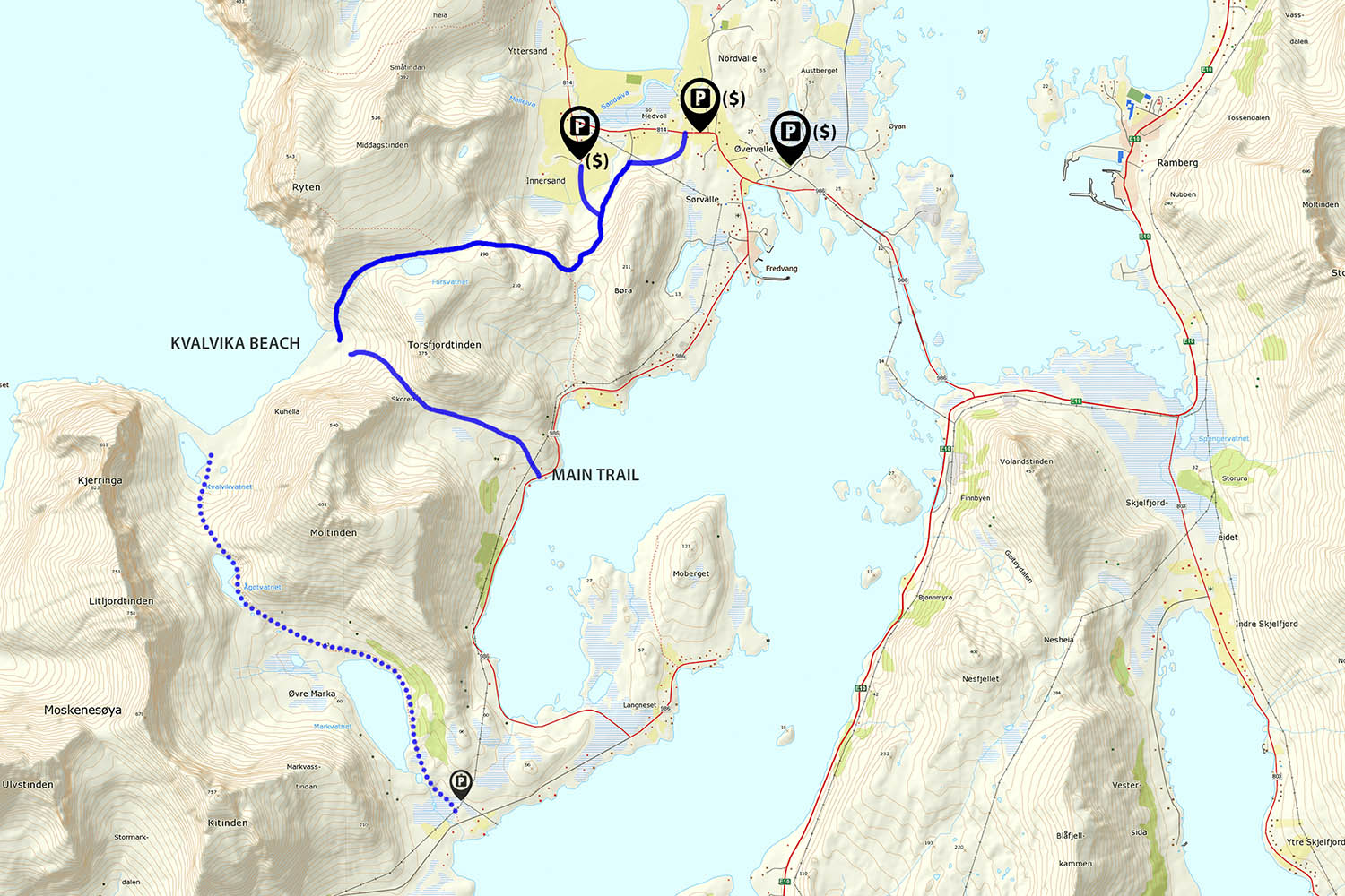
Old Fredvang school. Before entering Fredvang, look for the sign posted ‘P’ pointing up a road to the right. Continue up there road to the old school building. There is supposedly a shuttle bus (also paid) to the trail head in summer, but who knows if it will be running. Otherwise, the old trail head is a 3km walk through Fredvang to Torsfjord.
First farm. Continue straight (not turning left into Fredvang) and then the road makes sharp right then left turns. soon you will arrive at a farm with parking advertised.
Innersand farm. Follow the road towards Yttersand, but turn left to Innersand and park at the farm here. A new track has be laid, leading to Kvalvika and Ryten from here.
Free Parking:
Turn left into Fredvang and continue along the road. After approximately 3 km (from the turn) you will see a red boat shed on the left near the water. The parking here is now closed, however there are some pullouts along the road a few hundred meters further. Though it is likely these will be closed off in summer 2022.
The Trail
The Main Trail from Torsfjord
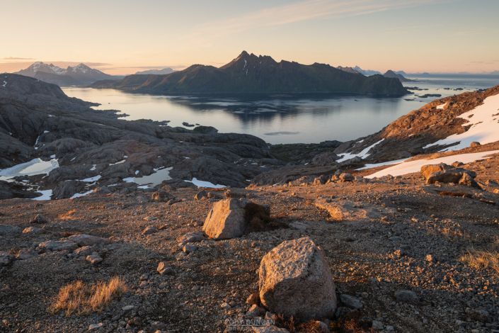
Directly across from the (old and now closed) parking area you will see stone steps heading up the hill. A new wooden walkway has been build to avoid the previously boggy sections at the start of the trail. After 10-15 minutes you will be mostly clear of the trees and head towards the center of the pass. Elevation gain is gentle here as the path takes you between the two mountains.
After 10-15 minutes of hiking you will be mostly clear of the trees and head towards the center of the pass to the north. Elevation gain is gentle here as the path takes you between the two mountains.
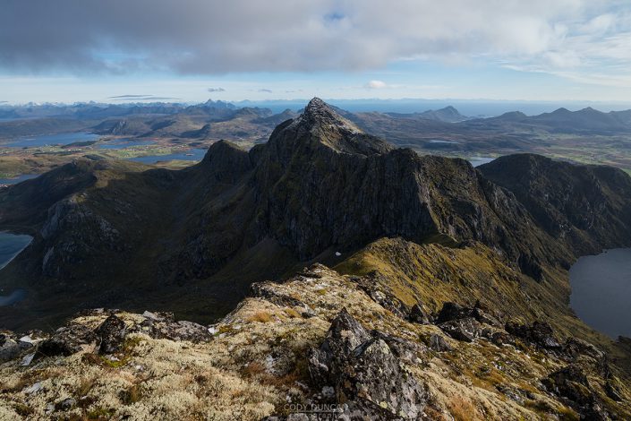
After about 30-40 minutes you will reach the top of the pass and begin the descent to the beach. Here the trail gets steep and rocky in places, and quite slippery if wet. Continue down towards the beach if you can see, or towards the sound of waves if you’re in the clouds. About 1 hour after leaving the car park you should be arriving at the flat, grassy dunes at the back of the beach.
From Fredvang/Innersand
There is a new sign posted trail just beyond the parking at the first farm. Follow the trail as it takes you through the meadow and towards the mountain ahead. After crossing the fence, the trail turns right and takes you towards the valley at Innersand where it joins an old farm track before beginning to climb up towards the first pass of the hike.
After making the first climb up to the ridge, the trail turns west, passing two small lakes, before heading up into a rockier area. The trail takes you in the general direction of Fredvanghytte, however you can keep to a path which traverses around the left side of the hill, avoiding a bit of elevation gain to the hut. In a few hundred more meters you’ll see a lake off to the left.
Follow the trail along the right side of the lake and then down towards the beach.
Camping
The easy hike to Kvalvika beach makes it an excellent place for camping. The back of the beach consists of flat grassy turf with plenty of scenic areas to pitch a tent. In recent years, the beach has become one of the most popular wild camping areas on Lofoten, so I suggest arriving early to find a nice place for you tent.
The best source of water is from the stream coming down on the right side of the beach, next to the trail to Ryten. Driftwood should be in ample supply to get a good campfire going, just try and use an existing spot.
And as with all camping on Lofoten, be sure to check the weather forecast so as not to get caught out in a gale, even in summer.

